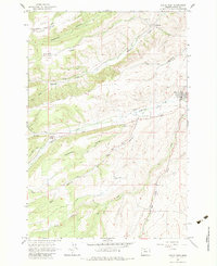
1962 Map of Dufur West
USGS Topo · Published 1984About this map
Dufur sits at the eastern edge of this high-desert landscape in Wasco County, where the transition from high ridges to creek-cut valleys defines the local topography. Early infrastructure is clearly visible through the network of agricultural and industrial corridors like Dufur Mill Road, Ward Mill Road, and Starveout Road. The map documents a significant intersection of natural drainages, including the prominent Fifteenmile Creek and its tributaries like Ramsey Creek and Dufur Creek. Local life and community history are anchored by landmarks such as Ramsey Hall, the Grange Hall, and the Henderson Pioneer Cem. The terrain names themselves, such as Japanese Ridge and Rail Hollow, suggest a history of diverse land use and early settlement patterns along the slopes of the eastern Cascades foothills.
Find a feature on this map
26 named features on this map. Tap any name to fly to it.
Don’t see what you’re looking for? This feature index may not catch every label — zoom into the map to look around manually.
Map Details
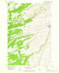
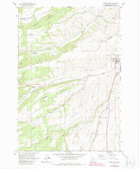
Editions of this 1962 Dufur West Map
3 editions found
Other maps of this area

1930 · Dufur
USGS Topo · 1:125,000

1934 · Dufur
USGS Topo · 1:125,000

1934 · The Dalles
USGS Topo · 1:125,000

1953 · The Dalles
USGS Topo · 1:250,000

1956 · The Dalles
USGS Topo · 1:250,000

1957 · The Dalles
USGS Topo · 1:250,000

1957 · The Dalles
USGS Topo · 1:62,500

1957 · White Salmon
USGS Topo · 1:62,500

1962 · Sherars Bridge
USGS Topo · 1:24,000

1962 · Wolf Run
USGS Topo · 1:24,000