1960s Maps of Washington County, Oregon
Explore 15 historic maps of Washington County from the 1960s. These maps offer a rare glimpse into what life looked like during the 1960s — showing old roads, neighborhoods, homes, and landmarks that have changed or disappeared over time.
Whether you're researching your family's past, planning a metal detecting trip, or studying how Washington County's landscape evolved across the 1960s, these high-resolution maps are a powerful tool for exploring the history of this region.
- Focus on a specific era: All maps on this page are from the 1960s, giving you a focused view of this time period.
- See what’s changed: Compare century-old streets, trails, and buildings to today's modern landscape using overlays and satellite layers.
- Research with precision: Use these maps for genealogy, historical research, land use analysis, or educational projects.
- View, download, or print: Maps are fully viewable online in high resolution, and can be downloaded or printed for your own records.
Start exploring Washington County's history through authentic maps from the 1960s. This is your window into the past.
Washington County, OR maps
(15)- 1961 Map of Newberg
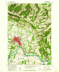 1961 Newberg1961 Print · USGSNewberg and the Willamette Valley are captured in the early sixties as agricultural roots met mid-century growth. Genealogists and historians can trace Ash Island, the Gearns Ferry (Site), and several pioneer-era cemeteries including Gibbs Cem.4 unique versions available
 - 1961 Map of Beaverton
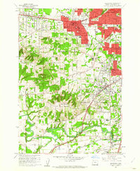 1961 Beaverton1961 Print · USGSBeaverton and Tigard are caught in a moment of post-war suburban expansion just as the rail-centered economy shifts toward the highway. Genealogists can locate family sites at Crescent Grove Cem or trace institutions like St Marys Boys Home and the Bernard Airport.5 unique versions available
 - 1961 Map of Hillsboro
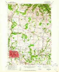 1961 Hillsboro1961 Print · USGSHillsboro and the Tualatin Valley are captured here in the early sixties as the rail-centered landscape began its suburban transformation. Genealogists and historians can trace family-named sites like the Joseph L Meek Land Claim, Tualatin Plains Cem, and the old community of Orenco.5 unique versions available
 - 1961 Map of Canby
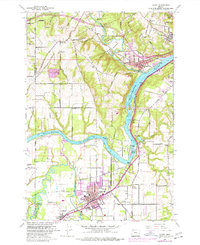 1961 Canby1961 Print · USGSThe riverfront communities south of Portland were thriving rail and water hubs in the early sixties. Researchers can trace family sites at the Robert Bird Cemetery or locate the historic Eccles Sch and New Era settlement along the Southern Pacific tracks.4 unique versions available
 - 1961 Map of Scholls
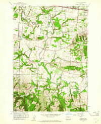 1961 Scholls1961 Print · USGSWashington County agriculture and river-valley life are captured here in the early sixties, as the region maintained its rural character. Genealogists and historians can trace family-named sites like Mountainside Cem, Witch Hazel School, and the community of Scholls.5 unique versions available
 - 1961 Map of Linnton
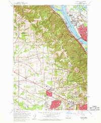 1961 Linnton1961 Print · USGSThe northern reaches of the Tualatin Valley and the Willamette riverfront meet here in the early sixties. Researchers can trace the expansion of suburban Cedar Mill and Aloha or locate historic sites like Union Cem and the St Johns Bridge.4 unique versions available
 - 1961 Map of Sherwood
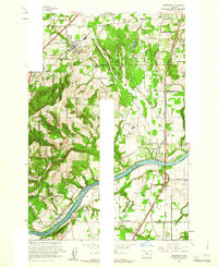 1961 Sherwood1961 Print · USGSThe northern Willamette Valley in the early sixties is a landscape of thriving river towns and developing highways. Genealogists and historians can locate Butteville Cem, the Dammasch State Hospital, and rail stops like Butteville Station.5 unique versions available
 - 1961 Map of Dixie Mountain
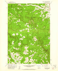 1961 Dixie Mountain1961 Print · USGSThe rural highlands where Columbia and Washington counties meet are captured here in the early sixties. Researchers can locate family landmarks like Dixie Ranch, the Saint Wenceslaus Cem, and the old Wallace Sch among the timbered ridges.4 unique versions available
 - 1961 Map of Portland, 1962 Print
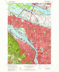 1961 Portland1962 Print · USGSPortland and Vancouver are captured during a season of rapid postwar change, showing the city's growth along the river before modern freeway expansions. Researchers can trace family roots at Mt Calvary Cemetery or locate the historic Vanport City site.3 unique versions available
 - 1961 Map of Portland, 1963 Print
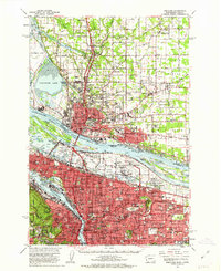 1961 Portland1963 Print · USGSThe Columbia River waterfront and the growing suburbs of the early sixties come to life in this detailed survey of the Oregon-Washington border. Researchers can trace the legacy of Vanport City, find the St. Johns Cemetery, or locate the Fort Vancouver National Monument.3 unique versions available
 - 1961 Map of Hillsboro, 1963 Print
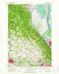 1961 Hillsboro1963 Print · USGSThe Tualatin Valley and Columbia River bottomlands appear in the early sixties as industrial expansion meets established farm country. Trace old rail lines and family history at Tualatin Plains Cem, North Plains, and the Meeks Land Claim Historical Marker.2 unique versions available
 - 1961 Map of Oregon City, 1963 Print
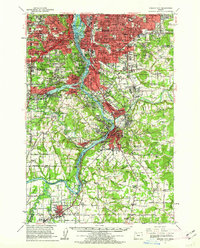 1961 Oregon City1963 Print · USGSThe Willamette River corridor south of Portland is seen here in the early sixties as suburban growth meets long-standing river towns. Genealogists and historians can trace the foundations of Oregon City, Milwaukie, and Canemah, alongside landmarks like Willamette National Cem and Camp Withycombe.
 - 1961 Map of Beaverton, 1963 Print
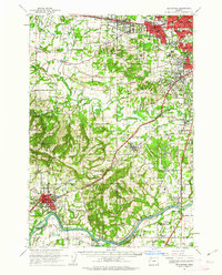 1961 Beaverton1963 Print · USGSWashington County undergoes a post-war transition in the early sixties as suburban grids meet the farms of the Tualatin Valley. Researchers can trace family roots through numerous country schools like Witch Hazel Sch or find regional landmarks like Dammasch State Hospital and Champoeg State Park.
 - 1961 Map of Lake Oswego, 1971 Print
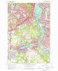 1961 Lake Oswego1971 Print · USGSThe suburbs south of Portland are in full development during the early sixties, centered on the Willamette River and the expanding residential reaches of Lake Oswego. Researchers can trace the grounds of Reed College, locate the Beth Israel Cem, or follow the Southern Pacific rail line through West Portland.5 unique versions available
 - 1964 Map of Vancouver
 1964 Vancouver1964 Print · USGSThe Pacific Northwest interior and coast are shown here in the 1960s, from the Portland metropolitan hub to the rugged Pacific shoreline. Researchers can trace the legacy of the Grand Ronde Indian Reservation, the early layout of McMinnville, and the maritime approaches near Tillamook Head.
End of results
Showing maps 1-15 of 15
Top cities of Washington County
- Hillsboro historical maps
- Beaverton historical maps
- Tigard historical maps
- Tualatin historical maps
- Forest Grove historical maps
- Sherwood historical maps
See more
Frequently asked questions
- What are the different types of historical maps available for Washington County?
- What is the oldest map of Washington County?
- Where can I purchase historical maps of Washington County for my home or office?
- Where can I download high-res historical maps of Washington County?
- Are there historical topographic maps available for Washington County?
- Is there historical aerial imagery available for Washington County?
- Where are historical maps of Washington County sourced from?