2020s Maps of Washington County, Oregon
Explore 52 historic maps of Washington County from the 2020s. These maps offer a rare glimpse into what life looked like during the 2020s — showing old roads, neighborhoods, homes, and landmarks that have changed or disappeared over time.
Whether you're researching your family's past, planning a metal detecting trip, or studying how Washington County's landscape evolved across the 2020s, these high-resolution maps are a powerful tool for exploring the history of this region.
- Focus on a specific era: All maps on this page are from the 2020s, giving you a focused view of this time period.
- See what’s changed: Compare century-old streets, trails, and buildings to today's modern landscape using overlays and satellite layers.
- Research with precision: Use these maps for genealogy, historical research, land use analysis, or educational projects.
- View, download, or print: Maps are fully viewable online in high resolution, and can be downloaded or printed for your own records.
Start exploring Washington County's history through authentic maps from the 2020s. This is your window into the past.
Washington County, OR maps
(52)- 2020 Map of Timber, 2020 Print
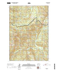 2020 Timber2020 Print · USGSThe timber country of the Coast Range comes into focus in this recent survey of the Washington and Tillamook county line. Researchers can trace the rugged topography around Timber and Glenwood or locate landmarks like Sunset Tunnel 2552 and the Bauer Reservoir.
 - 2020 Map of Cochran, 2020 Print
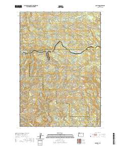 2020 Cochran2020 Print · USGSThe Coast Range peaks of Tillamook and Washington Counties are shown here during the late twenty-teens. Researchers can trace the drainage of the Salmonberry River or locate historic timber infrastructure like Standard Grade and Cochran Pond.
 - 2020 Map of Gobblers Knob, 2020 Print
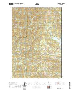 2020 Gobblers Knob2020 Print · USGSThe high timber country of the Northern Oregon Coast Range is documented here in the early twenty-first century as modern forestry roads lace through steep drainages. Researchers can trace the headwaters of the Tualatin River and locate remote landmarks like Ki-a-Kuts Falls or the historic path of the Toll Rd.
 - 2020 Map of Gaston, 2020 Print
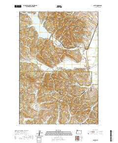 2020 Gaston2020 Print · USGSNorthwest Oregon at the edge of the Coast Range shows a landscape of timber and agriculture transitioning into the Tualatin Valley. Researchers can trace rural settlement patterns through Mount Olive Lutheran Cem, the drained Wapato Lake Bed, and family-named landmarks like Garrish Valley.
 - 2020 Map of Laurelwood, 2020 Print
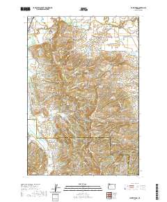 2020 Laurelwood2020 Print · USGSThe Tualatin River valley and Chehalem Mountains meet in this recent survey of Washington and Yamhill counties. Researchers can trace rural lineages through Blooming Cem and Oak Grove Cem or locate old waterworks like Guthrie Reservoir and the Wapato Lake Bed.
 - 2020 Map of Clear Creek, 2020 Print
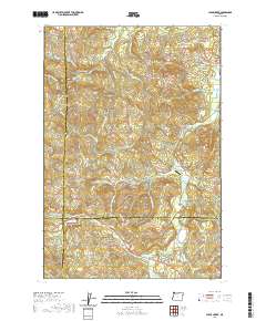 2020 Clear Creek2020 Print · USGSThis timber-rich corner of the Oregon Coast Range is documented here at a time when mountain drainage and forestry roads define the landscape. Researchers can locate the North Cem near Clear Creek or trace old logging routes like the Eastside Grade and Rock Creek Mainline.
 - 2020 Map of Buxton, 2020 Print
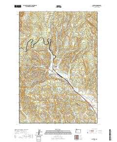 2020 Buxton2020 Print · USGSNorthwestern Washington County's rural landscape is captured here in the early twenty-first century, showing the interface between agricultural valleys and timbered foothills. Researchers can trace the legacy of local families at Buxton Cemetery or locate regional landmarks like Apple Valley Airport and the Banks-Vernonia State Trail.
 - 2020 Map of Meacham Corner, 2020 Print
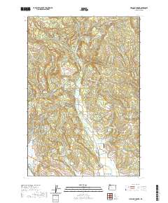 2020 Meacham Corner2020 Print · USGSMountaindale and the surrounding Washington County hills are shown in detail as they appeared in 2020. Local researchers can locate family sites near Arcade Cem, trace the Banks-Vernonia State Trail, or survey the area around Meacham Corner.
 - 2020 Map of Bacona, 2020 Print
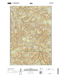 2020 Bacona2020 Print · USGSThe borderlands of Washington and Columbia counties are shown here in the modern era, highlighting a landscape defined by forestry and high-ridge terrain. Genealogists and historians can trace the paths of the Crown Zellerbach Trail and the namesake NW Bacona Rd near landmarks like Heller Reservoir.
 - 2020 Map of Roaring Creek, 2020 Print
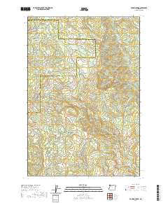 2020 Roaring Creek2020 Print · USGSThe Northern Oregon Coast Range comes into focus during this modern era of forest management and land use. Map collectors and hikers can trace historic routes like the Wilson River Wagon Road Trail or locate features like Saddle Mtn and Skunk Hollow.
 - 2020 Map of Turner Creek, 2020 Print
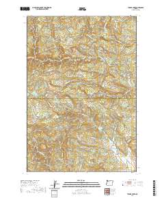 2020 Turner Creek2020 Print · USGSThe Coast Range foothills of Washington and Yamhill Counties are captured here in the modern era. Researchers can trace the timber and water infrastructure of the region, from the logging roads near Cherry Grove to prominent landmarks like Hillsboro Reservoir and Hayes Falls.
 - 2020 Map of Vernonia, 2020 Print
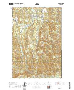 2020 Vernonia2020 Print · USGSVernonia and the surrounding timberlands are documented here in the early twenty-first century as the local economy continues its evolution from rail and river roots. Genealogists and historians can trace family sites near Pioneer Cem, the small settlement of Treharne, and the winding Nehalem River corridor.
 - 2020 Map of Lake Oswego, 2020 Print
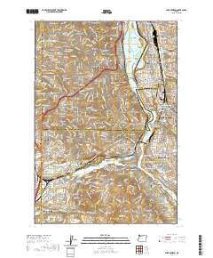 2020 Lake Oswego2020 Print · USGSThe southern suburbs of Portland are captured in the early 2020s, showing the dense residential growth surrounding the Willamette River. Researchers can trace institutional footprints from Reed College to Marylhurst University or locate family plots in Riverview Cem and Milwaukie Pioneer Cem.
 - 2020 Map of Hillsboro, 2020 Print
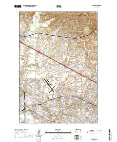 2020 Hillsboro2020 Print · USGSHillsboro and its surrounding Tualatin Valley communities are shown in fine detail during the early 2020s. Researchers can trace the civic core around the Washington County Courthouse or locate ancestral sites like the Old Scotch Cem and West Union Cem.
 - 2020 Map of Portland, 2020 Print
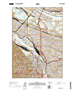 2020 Portland2020 Print · USGSPortland and Vancouver are shown during a period of modern urban density, highlighting the vital bridges and riverfront industry of the Willamette. Researchers can trace historic neighborhood boundaries from Saint Johns to Laurelhurst or locate ancestors at Lone Fir Cem.
 - 2020 Map of Sherwood, 2020 Print
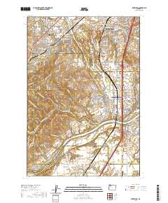 2020 Sherwood2020 Print · USGSThe northern Willamette Valley and Tualatin Valley intersect here in a landscape of historic river settlements and rising hills. Genealogists and historians can trace family locations through sites like Butteville Cem, Middleton, and the Willamette River shoreline.
 - 2020 Map of Beaverton, 2020 Print
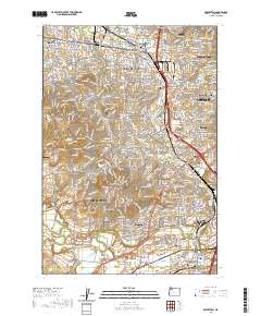 2020 Beaverton2020 Print · USGSThe southwestern Portland suburbs and the Tualatin River valley are shown here in modern detail. Researchers can trace family sites at Patton Cem and Winona Cem or locate local landmarks like Sexton Mtn and the Schamberg Bridge.
 - 2020 Map of Scholls, 2020 Print
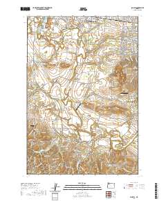 2020 Scholls2020 Print · USGSHillsboro and the Tualatin River valley are shown here in the 2020s, a landscape defined by riverside settlements and small airparks. Researchers can locate family sites at Saint Matthews Cem or trace rural crossings like Rood Bridge and Scholls Bridge.
 - 2020 Map of Chapman, 2020 Print
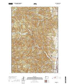 2020 Chapman2020 Print · USGSScappoose and its neighboring upland communities are captured here in the 2020s, showing the intersection of suburban growth and traditional rural industry. Researchers can trace local landmarks like the Pisgah Home Cem, Grabhorn's Airport, and small settlements such as Spitzenberg and Chapman.
 - 2020 Map of Dixie Mountain, 2020 Print
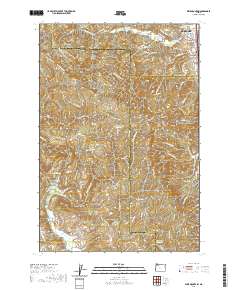 2020 Dixie Mountain2020 Print · USGSThe outskirts of Scappoose transition into the Tualatin Mountains in this contemporary look at the Oregon landscape. Genealogists and local historians can trace burial sites at Saint Wenceslaus Cem and Shadybrook Cem or follow the paths of Dutch Canyon and Pumpkin Ridge.
 - 2020 Map of Canby, 2020 Print
 2020 Canby2020 Print · USGSThe northern Willamette Valley comes alive in this survey, showcasing the river's winding path through the growing communities of Canby and West Linn. Local historians can trace several significant burial grounds like Meridian Cem and Canemah Cem or locate the distinctive Dietz Airpark.
 - 2020 Map of Linnton, 2020 Print
 2020 Linnton2020 Print · USGSPortland and its western suburbs show a mix of industrial riverfront and residential expansion in the early twenty-first century. Genealogists can trace family names at Phillips Cem, Gatton Cem, and the German Presbyterian Cem.
 - 2020 Map of Newberg, 2020 Print
 2020 Newberg2020 Print · USGSThe Willamette Valley landscape near Newberg comes to life in this contemporary study of Yamhill County. Researchers can trace historic burial grounds like Fernwood Pioneer Cem and G.A.R. Cem or explore the river geography around Ash Island.
 - 2020 Map of Woods Point, 2020 Print
 2020 Woods Point2020 Print · USGSThe high timberlands along the Tillamook and Washington County border are captured here in the contemporary era. Researchers can trace historic routes like the Wilson River Wagon Road Trail and find landmarks such as Graham Bridge and University Falls.
 - 2020 Map of Gales Creek, 2020 Print
 2020 Gales Creek2020 Print · USGSForest Grove and the surrounding Washington County foothills are documented here at the start of the 2020s. Researchers can locate family landmarks like Purdin Cem, trace the Lousignont Canal, and explore the rural outskirts of Kansas City and Balm Grove.
Showing maps 1-25 of 52
Top cities of Washington County
- Hillsboro historical maps
- Beaverton historical maps
- Tigard historical maps
- Tualatin historical maps
- Forest Grove historical maps
- Sherwood historical maps
See more
Frequently asked questions
- What are the different types of historical maps available for Washington County?
- What is the oldest map of Washington County?
- Where can I purchase historical maps of Washington County for my home or office?
- Where can I download high-res historical maps of Washington County?
- Are there historical topographic maps available for Washington County?
- Is there historical aerial imagery available for Washington County?
- Where are historical maps of Washington County sourced from?