2010s Maps of Washington County, Oregon
Explore 78 historic maps of Washington County from the 2010s. These maps offer a rare glimpse into what life looked like during the 2010s — showing old roads, neighborhoods, homes, and landmarks that have changed or disappeared over time.
Whether you're researching your family's past, planning a metal detecting trip, or studying how Washington County's landscape evolved across the 2010s, these high-resolution maps are a powerful tool for exploring the history of this region.
- Focus on a specific era: All maps on this page are from the 2010s, giving you a focused view of this time period.
- See what’s changed: Compare century-old streets, trails, and buildings to today's modern landscape using overlays and satellite layers.
- Research with precision: Use these maps for genealogy, historical research, land use analysis, or educational projects.
- View, download, or print: Maps are fully viewable online in high resolution, and can be downloaded or printed for your own records.
Start exploring Washington County's history through authentic maps from the 2010s. This is your window into the past.
Washington County, OR maps
(78)- 2011 Map of Dixie Mountain, 2011 Print
 2011 Dixie Mountain2011 Print · USGSThe highlands west of the Willamette Valley are captured here in the early twenty-first century as the rural character of South Scappoose remains intact. Genealogists can locate family sites like Saint Wenceslaus Cemetery, Johnson Crossing, and Shadybrook Cemetery.
 - 2011 Map of Hillsboro, 2011 Print
 2011 Hillsboro2011 Print · USGSHillsboro and its surrounding agricultural valleys are captured during a period of modern expansion. Researchers can trace family roots at Helvetia Cemetery or locate civic landmarks like the Washington County Fairgrounds and Portland-Hillsboro Airport.
 - 2011 Map of Linnton, 2011 Print
 2011 Linnton2011 Print · USGSThe Willamette River and West Hills come together in this 2011 survey of Portland's western suburbs and industrial waterfront. Genealogists and historians can trace cemetery locations like Gatton Cemetery and explore landmarks like Cedar Mill and the Saint Johns Bridge.
 - 2011 Map of Newberg, 2011 Print
 2011 Newberg2011 Print · USGSNewberg and the surrounding Willamette River valley are documented here in the early twenty-first century, showing the town's expansion toward the Chehalem Hills. Genealogists can locate several local burial sites including Fernwood Pioneer Cemetery and Hillcrest Cemetery, while landmarks like George Fox University anchor the town center.
 - 2011 Map of Scholls, 2011 Print
 2011 Scholls2011 Print · USGSThe Tualatin Valley at the start of the 2010s shows a landscape of river crossings and small communities amidst growing residential development. Genealogists and historians can locate numerous family and community landmarks, from Saint Matthews Cemetery to old bridge sites like Harris Bridge and the community of Scholls.
 - 2011 Map of Lake Oswego, 2011 Print
 2011 Lake Oswego2011 Print · USGSThe Willamette River corridor south of Portland is captured here in the early twenty-first century, showing the area's dense suburban expansion. Researchers can find prominent landmarks like The Oaks Amusement Park, the historic Riverview Cemetery, and the Oswego Canal.
 - 2011 Map of Sherwood, 2011 Print
 2011 Sherwood2011 Print · USGSThe northern Willamette Valley at the start of the twenty-first century reveals a blend of historic river crossings and rapid suburban development. Researchers can trace the heritage of local families through Butteville Cemetery, the site of Boones Ferry, and the unique terrain of the Tonquin Scablands.
 - 2011 Map of Beaverton, 2011 Print
 2011 Beaverton2011 Print · USGSThe growing suburbs of Portland are captured in the early 2010s as residential development spreads across the Tualatin Valley. Researchers can locate established landmarks like Patton Cemetery, the Flying K Ranch Airport, and the winding course of the Tualatin River.
 - 2011 Map of Canby, 2011 Print
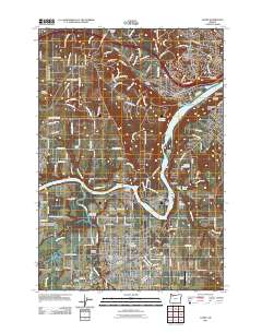 2011 Canby2011 Print · USGSThe Willamette and Molalla rivers meet in Clackamas County during this period of modern suburban expansion and rural preservation. Genealogists can trace family roots at Baker Prairie Cemetery or Zoar Cemetery, while industrial historians can locate the Canby Ferry and Union Pacific rail lines.
 - 2011 Map of Portland, 2011 Print
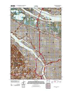 2011 Portland2011 Print · USGSPortland and Vancouver at the start of the 2010s show a mature urban landscape defined by river industry and historic neighborhoods. Researchers can trace local heritage through sites like Lone Fir Cemetery, Albina Yard, and the iconic Pittock Block.
 - 2011 Map of Chapman, 2011 Print
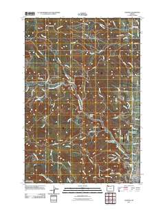 2011 Chapman2011 Print · USGSScappoose and its surrounding timberlands are documented in the early twenty-first century as the area transitioned from its logging roots to a more residential character. Researchers can locate family sites near the Yankton-Hillcrest Cemetery, trace rural aviation at Grabhorns Airstrip, or follow the historic path of the Crown Zellerbach Logging Rd.
 - 2011 Map of Forest Grove, 2011 Print
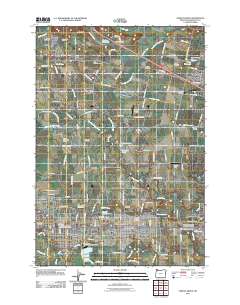 2011 Forest Grove2011 Print · USGSThe northern Tualatin Valley in the early twenty-first century shows a landscape of growing towns and deep-rooted agricultural history. Researchers can trace family sites across numerous burial grounds like Saint Francis Cemetery or locate the historic Pacific University campus.
 - 2011 Map of Bacona, 2011 Print
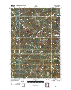 2011 Bacona2011 Print · USGSThe settlement of Bacona and the surrounding timberlands are documented here in the early twenty-first century. Researchers can trace the network of forest roads and land features including Mansfield Lookout, Heller Reservoir, and the East Fork Nehalem River.
 - 2011 Map of Buxton, 2011 Print
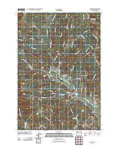 2011 Buxton2011 Print · USGSNorthwest Washington County settlement patterns and foothill terrain are captured here in the early twenty-first century. Genealogists and local historians can trace family locations near the Buxton Post Office, Hayward Cemetery, and the historic Sunset Tunnel.
 - 2011 Map of Cochran, 2011 Print
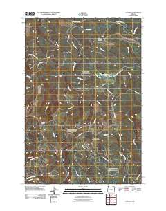 2011 Cochran2011 Print · USGSThe timber country of the Northern Oregon Coast Range is captured here in the early twenty-first century. Researchers can trace the layout of the settlement at Cochran, follow the drainage of Idiot Creek, and locate the high vantage of Blue Lake Lookout.
 - 2011 Map of Gobblers Knob, 2011 Print
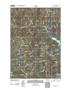 2011 Gobblers Knob2011 Print · USGSThe high watershed of Washington County is captured here in the early 2010s, showing the rugged headwaters of the Tualatin and Trask rivers. Trace the network of forest routes like NW Trask Toll Rd to landmarks such as Barney Reservoir and Ki-a-Kuts Falls.
 - 2011 Map of Timber, 2011 Print
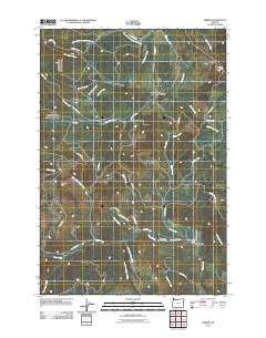 2011 Timber2011 Print · USGSNorthwestern Washington County's forested hills are shown here in the early twenty-first century, centered on the logging communities of Timber and Glenwood. Researchers can locate local landmarks like the Timber Post Office, Sunset Tunnel, and the Gales Creek Childrens Camp.
 - 2011 Map of Gaston, 2011 Print
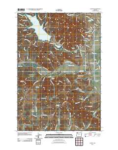 2011 Gaston2011 Print · USGSGaston and the Tualatin River valley are shown here in the early twenty-first century as a landscape of timber mills and rural settlements. Researchers can trace local landmarks such as Stimson Mill, the Mount Olive Lutheran Cemetery, and the Gaston Post Office.
 - 2011 Map of Gales Creek, 2011 Print
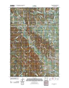 2011 Gales Creek2011 Print · USGSThe Tualatin Valley foothills and the community of Forest Grove are shown here as they appeared in 2011. Genealogists and local historians can locate several rural burial sites, including Hillside and Purdin Cemetery, alongside the village of Gales Creek.
 - 2011 Map of Woods Point, 2011 Print
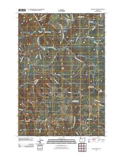 2011 Woods Point2011 Print · USGSWashington County forestry and watershed systems are documented here in the early twenty-first century. Researchers can trace timber access routes like the Stimson Mainline Rd and find remote landmarks such as University Falls, South Fork Camp, and Graham Bridge.
 - 2011 Map of Clear Creek, 2011 Print
 2011 Clear Creek2011 Print · USGSCoastal range timber country is documented here in the early twenty-first century as the landscape transitioned from historic logging rail grades to modern forestry roads. Researchers can locate the North Cemetery, trace the Sunset Grade, and find the river crossing at Arcadia Bridge.
 - 2011 Map of Meacham Corner, 2011 Print
 2011 Meacham Corner2011 Print · USGSThe rural hills of Washington County are shown in detail during the early 2000s, featuring a landscape of timber, agriculture, and small-scale water management. Genealogists and historians can locate legacy sites like Arcade Cemetery, Meacham Corner, and the Raffety Cemetery.
 - 2011 Map of Roaring Creek, 2011 Print
 2011 Roaring Creek2011 Print · USGSThe Oregon Coast Range foothills come alive in this early 2000s survey of the timbered ridges and creek valleys above Scoggins Valley. Genealogists and local historians can trace legacy transport routes like Old Railroad Grade Rd and family-named landmarks like Baseline Ridge and Sain Creek.
 - 2011 Map of Turner Creek, 2011 Print
 2011 Turner Creek2011 Print · USGSThe Oregon timberlands and headwaters west of Gastin are shown here just after the first decade of the millennium. Researchers can trace rural settlements like Cherry Grove and Neverstill, or locate water features such as Barney Reservoir and Haines Falls.
 - 2011 Map of Laurelwood, 2011 Print
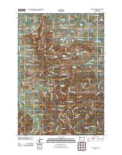 2011 Laurelwood2011 Print · USGSThe rural landscapes between Dilley and the Chehalem Mountains are captured here in the early twenty-first century. Genealogists and local historians can locate several burial sites, including Iowa Hill Cemetery and Blooming Cemetery, while tracing the water history of Laurelwood Reservoir and the Wapato Lake Bed.
Showing maps 1-25 of 78
Top cities of Washington County
- Hillsboro historical maps
- Beaverton historical maps
- Tigard historical maps
- Tualatin historical maps
- Forest Grove historical maps
- Sherwood historical maps
See more
Frequently asked questions
- What are the different types of historical maps available for Washington County?
- What is the oldest map of Washington County?
- Where can I purchase historical maps of Washington County for my home or office?
- Where can I download high-res historical maps of Washington County?
- Are there historical topographic maps available for Washington County?
- Is there historical aerial imagery available for Washington County?
- Where are historical maps of Washington County sourced from?