2000s (21st Century) Maps of Centre County, Pennsylvania
Explore 180 historic maps of Centre County from the 2000s (21st Century). These maps offer a rare glimpse into what life looked like during the 2000s — showing old roads, neighborhoods, homes, and landmarks that have changed or disappeared over time.
Whether you're researching your family's past, planning a metal detecting trip, or studying how Centre County's landscape evolved across the 2000s, these high-resolution maps are a powerful tool for exploring the history of this region.
- Focus on a specific era: All maps on this page are from the 2000s, giving you a focused view of this time period.
- See what’s changed: Compare century-old streets, trails, and buildings to today's modern landscape using overlays and satellite layers.
- Research with precision: Use these maps for genealogy, historical research, land use analysis, or educational projects.
- View, download, or print: Maps are fully viewable online in high resolution, and can be downloaded or printed for your own records.
Start exploring Centre County's history through authentic maps from the 2000s. This is your window into the past.
Centre County, PA maps
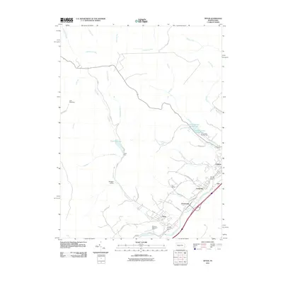
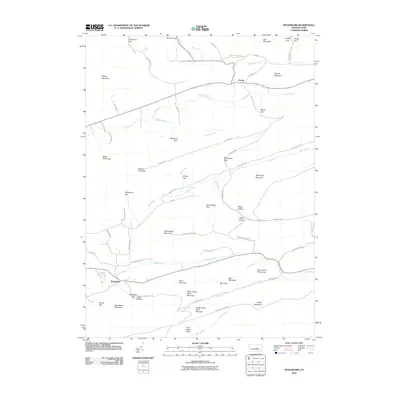
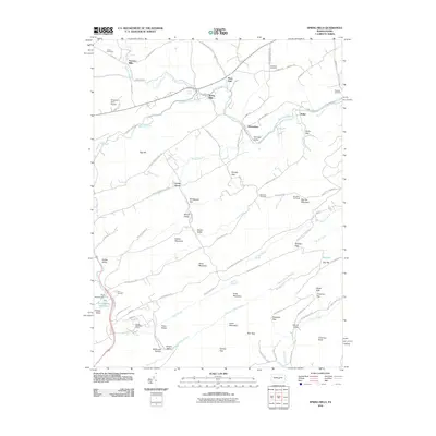
(180)- 2010 Map of Philipsburg, 2010 Print
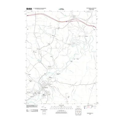 2010 Philipsburg2010 Print · USGSCovers Centre County, including Philipsburg, Graham, and other nearby areas
 - 2010 Map of Sandy Ridge, 2010 Print
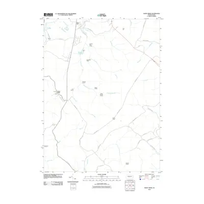 2010 Sandy Ridge2010 Print · USGSCovers Centre County, including Rush Township, Decatur Township, and other nearby areas
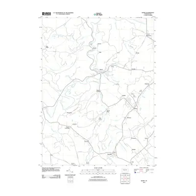
 - 2010 Map of Tyrone, 2010 Print
 2010 Tyrone2010 Print · USGSCovers Centre County, including Tyrone, Warriors Mark Township, and other nearby areas
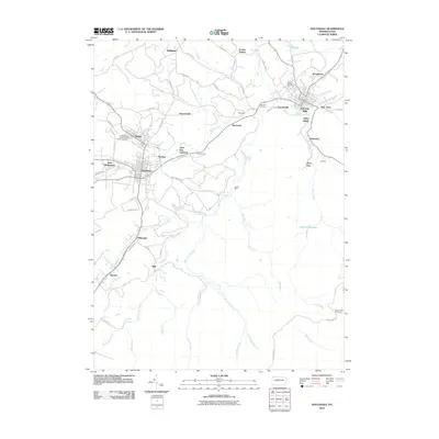
 - 2010 Map of Ramey, 2010 Print
 2010 Ramey2010 Print · USGSCovers Centre County, including Beccaria Township, Ramey, and other nearby areas
 - 2010 Map of Houtzdale, 2010 Print
 2010 Houtzdale2010 Print · USGSCovers Centre County, including Osceola Mills, Houtzdale, and other nearby areas
 - 2010 Map of Tipton, 2010 Print
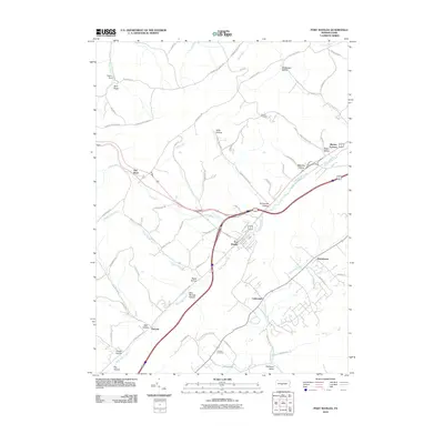
 2010 Tipton2010 Print · USGSCovers Centre County, including Tyrone, Rush Township, and other nearby areas
 - 2010 Map of Port Matilda, 2010 Print
 2010 Port Matilda2010 Print · USGSCovers Centre County, including Port Matilda, Rush Township, and other nearby areas
 - 2010 Map of Franklinville, 2010 Print
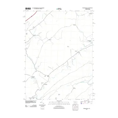 2010 Franklinville2010 Print · USGSCovers Centre County, including Warriors Mark Township, Spruce Creek Township, and other nearby areas
 - 2010 Map of Pine Grove Mills, 2010 Print
 2010 Pine Grove Mills2010 Print · USGSCovers Centre County, including Pine Grove Mills, Monroe Furnace, and other nearby areas
 - 2010 Map of Woodward, 2010 Print
 2010 Woodward2010 Print · USGSCovers Centre County, including Hartley Township, Miles Township, and other nearby areas
 - 2010 Map of Julian, 2010 Print
 2010 Julian2010 Print · USGSCovers Centre County, including State College, Benner Township, and other nearby areas
 - 2010 Map of McAlevys Fort, 2010 Print
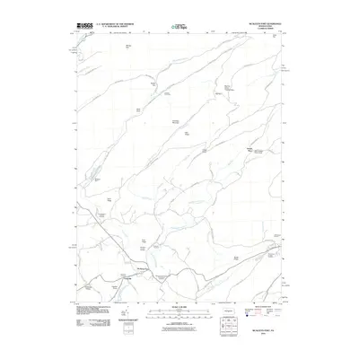 2010 McAlevys Fort2010 Print · USGSCovers Centre County, including McAlevys Fort, Harris Township, and other nearby areas
 - 2010 Map of Bear Knob, 2010 Print
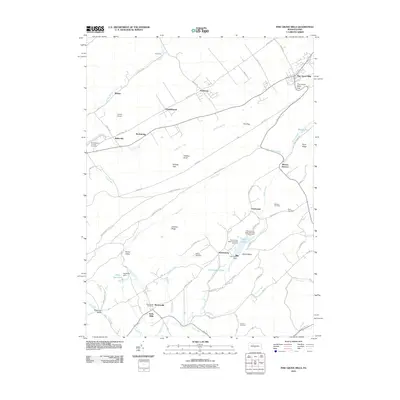
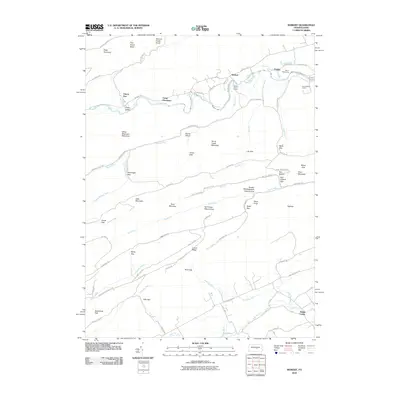
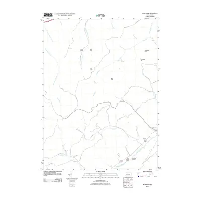 2010 Bear Knob2010 Print · USGSCovers Centre County, including Unionville, Rush Township, and other nearby areas
 - 2010 Map of Weikert, 2010 Print
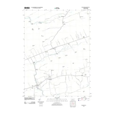
 2010 Weikert2010 Print · USGSCovers Centre County, including Decatur Township, Hartley Township, and other nearby areas
 - 2010 Map of Millheim, 2010 Print
 2010 Millheim2010 Print · USGSCovers Centre County, including Millheim, Aaronsburg, and other nearby areas
 - 2010 Map of State College, 2010 Print
 2010 State College2010 Print · USGSCovers Centre County, including State College, Boalsburg, and other nearby areas
 - 2010 Map of Barrville, 2010 Print
 2010 Barrville2010 Print · USGSCovers Centre County, including Granville Township, Kishacoquillas, and other nearby areas
 - 2010 Map of Spring Mills, 2010 Print
 2010 Spring Mills2010 Print · USGSCovers Centre County, including Gregg Township, Beaverdam, and other nearby areas
 - 2010 Map of Bellefonte, 2010 Print
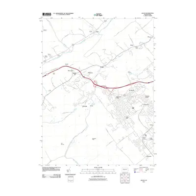
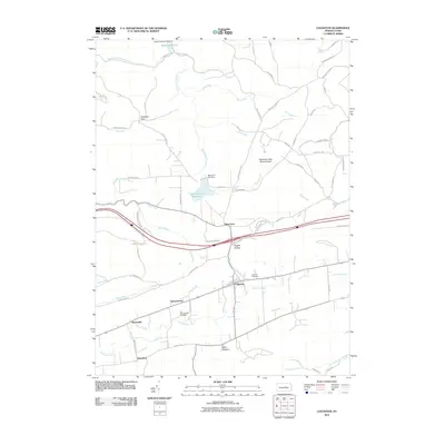
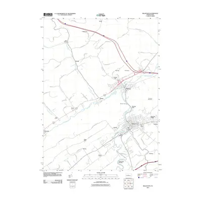 2010 Bellefonte2010 Print · USGSCovers Centre County, including Bellefonte, Pleasant Gap, and other nearby areas
 - 2010 Map of Madisonburg, 2010 Print
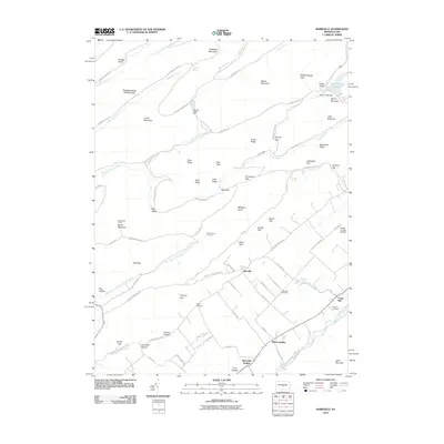
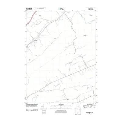 2010 Madisonburg2010 Print · USGSCovers Centre County, including Gregg Township, Madisonburg, and other nearby areas
 - 2010 Map of Coburn, 2010 Print
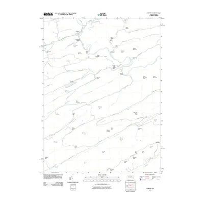 2010 Coburn2010 Print · USGSCovers Centre County, including Decatur Township, Coburn, and other nearby areas
 - 2010 Map of Centre Hall, 2010 Print
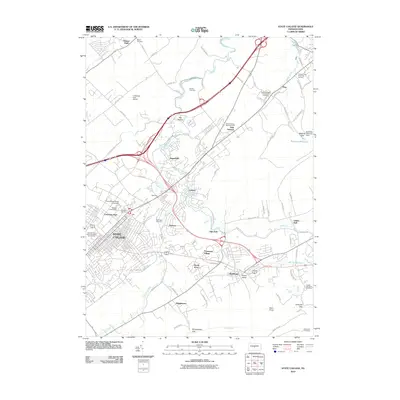
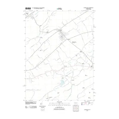 2010 Centre Hall2010 Print · USGSCovers Centre County, including Pleasant Gap, Centre Hall, and other nearby areas
 - 2010 Map of Snow Shoe NW, 2010 Print
 2010 Snow Shoe NW2010 Print · USGSCovers Centre County, including East Keating Township, West Keating Township, and other nearby areas
 - 2010 Map of Loganton, 2010 Print
 2010 Loganton2010 Print · USGSCovers Centre County, including Wayne Township, Rosecrans, and other nearby areas
 - 2010 Map of Carroll, 2010 Print
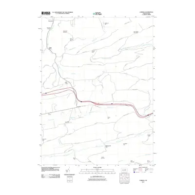 2010 Carroll2010 Print · USGSCovers Centre County, including Hartley Township, Washington Township, and other nearby areas
Showing maps 1-25 of 180
Top cities of Centre County
- State College historical maps
- Bellefonte historical maps
- Philipsburg historical maps
- Milesburg historical maps
- Centre Hall historical maps
- Snow Shoe historical maps
See more
Frequently asked questions
- What are the different types of historical maps available for Centre County?
- What is the oldest map of Centre County?
- Where can I purchase historical maps of Centre County for my home or office?
- Where can I download high-res historical maps of Centre County?
- Are there historical topographic maps available for Centre County?
- Is there historical aerial imagery available for Centre County?
- Where are historical maps of Centre County sourced from?