2000s (21st Century) Maps of Rush Township, Pennsylvania
Explore 45 historic maps of Rush Township from the 2000s (21st Century). These maps offer a rare glimpse into what life looked like during the 2000s — showing old roads, neighborhoods, homes, and landmarks that have changed or disappeared over time.
Whether you're researching your family's past, planning a metal detecting trip, or studying how Rush Township's landscape evolved across the 2000s, these high-resolution maps are a powerful tool for exploring the history of this region.
- Focus on a specific era: All maps on this page are from the 2000s, giving you a focused view of this time period.
- See what’s changed: Compare century-old streets, trails, and buildings to today's modern landscape using overlays and satellite layers.
- Research with precision: Use these maps for genealogy, historical research, land use analysis, or educational projects.
- View, download, or print: Maps are fully viewable online in high resolution, and can be downloaded or printed for your own records.
Start exploring Rush Township's history through authentic maps from the 2000s. This is your window into the past.
Rush Township, PA maps
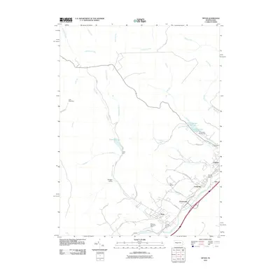
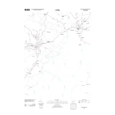
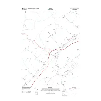
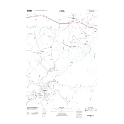
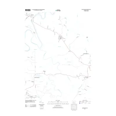
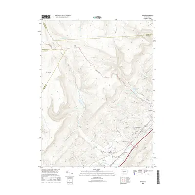
(45)- 2010 Map of Philipsburg, 2010 Print
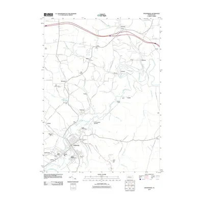 2010 Philipsburg2010 Print · USGSCovers Rush Township, including Philipsburg, Graham, and other nearby areas
 - 2010 Map of Sandy Ridge, 2010 Print
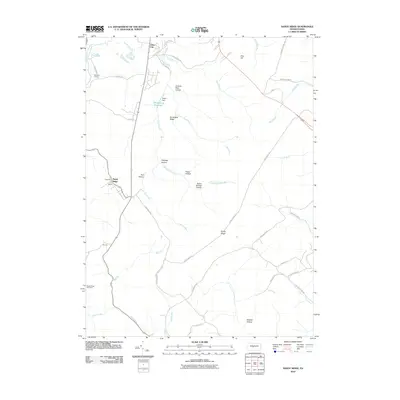 2010 Sandy Ridge2010 Print · USGSCovers Rush Township, including Decatur Township, Taylor Township, and other nearby areas
 - 2010 Map of Ramey, 2010 Print
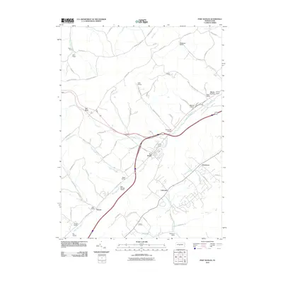
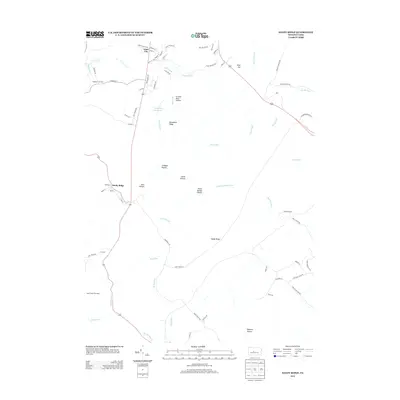
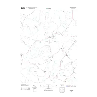
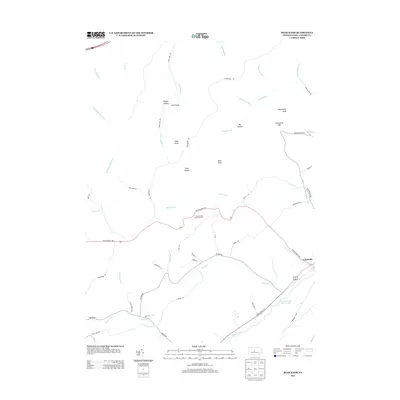
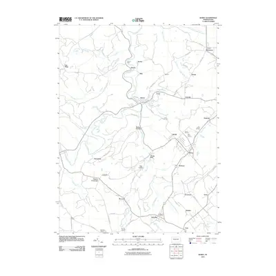 2010 Ramey2010 Print · USGSCovers Rush Township, including Beccaria Township, Ramey, and other nearby areas
 - 2010 Map of Houtzdale, 2010 Print
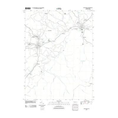 2010 Houtzdale2010 Print · USGSCovers Rush Township, including Osceola Mills, Houtzdale, and other nearby areas
 - 2010 Map of Tipton, 2010 Print
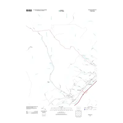
 2010 Tipton2010 Print · USGSCovers Rush Township, including Tyrone, Charlottsville, and other nearby areas
 - 2010 Map of Port Matilda, 2010 Print
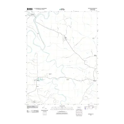
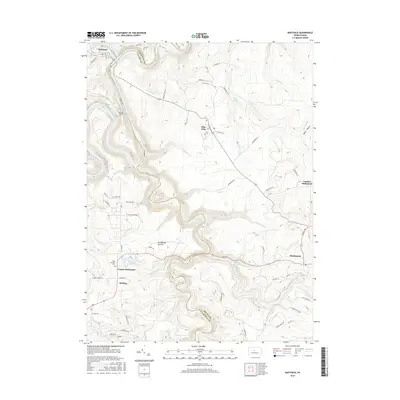
 2010 Port Matilda2010 Print · USGSCovers Rush Township, including Port Matilda, Martha Furnace, and other nearby areas
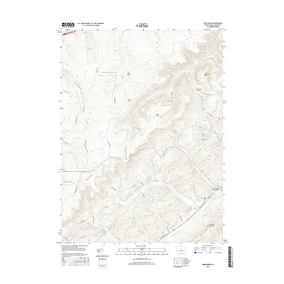
 - 2010 Map of Bear Knob, 2010 Print
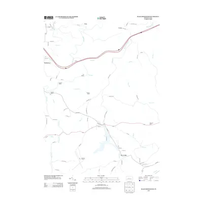
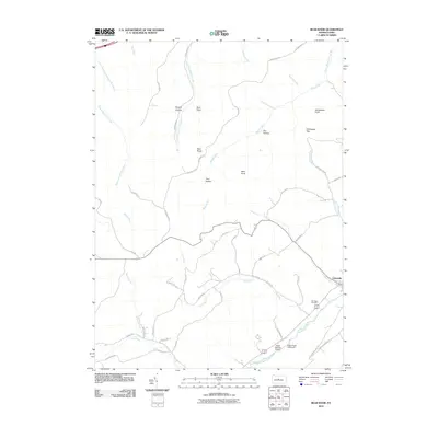 2010 Bear Knob2010 Print · USGSCovers Rush Township, including Unionville, Benner Township, and other nearby areas
 - 2010 Map of Karthaus, 2010 Print
 2010 Karthaus2010 Print · USGSCovers Rush Township, including Karthaus Township, Moshannon, and other nearby areas
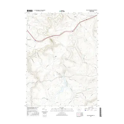
 - 2010 Map of Black Moshannon, 2010 Print
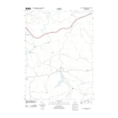 2010 Black Moshannon2010 Print · USGSCovers Rush Township, including Cooper Township, Viaduct, and other nearby areas
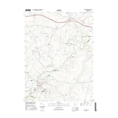
 - 2013 Map of Houtzdale, 2013 Print
 2013 Houtzdale2013 Print · USGSCovers Rush Township, including Osceola Mills, Houtzdale, and other nearby areas
 - 2013 Map of Sandy Ridge, 2013 Print
 2013 Sandy Ridge2013 Print · USGSCovers Rush Township, including Decatur Township, Taylor Township, and other nearby areas
 - 2013 Map of Tipton, 2013 Print
 2013 Tipton2013 Print · USGSCovers Rush Township, including Tyrone, Charlottsville, and other nearby areas
 - 2013 Map of Port Matilda, 2013 Print
 2013 Port Matilda2013 Print · USGSCovers Rush Township, including Port Matilda, Martha Furnace, and other nearby areas
 - 2013 Map of Ramey, 2013 Print
 2013 Ramey2013 Print · USGSCovers Rush Township, including Beccaria Township, Ramey, and other nearby areas
 - 2013 Map of Philipsburg, 2013 Print
 2013 Philipsburg2013 Print · USGSCovers Rush Township, including Philipsburg, Graham, and other nearby areas
 - 2013 Map of Black Moshannon, 2013 Print
 2013 Black Moshannon2013 Print · USGSCovers Rush Township, including Cooper Township, Viaduct, and other nearby areas
 - 2013 Map of Bear Knob, 2013 Print
 2013 Bear Knob2013 Print · USGSCovers Rush Township, including Unionville, Benner Township, and other nearby areas
 - 2013 Map of Karthaus, 2013 Print
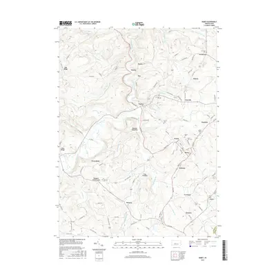
 2013 Karthaus2013 Print · USGSCovers Rush Township, including Karthaus Township, Moshannon, and other nearby areas
 - 2016 Map of Bear Knob, 2016 Print
 2016 Bear Knob2016 Print · USGSCovers Rush Township, including Unionville, Benner Township, and other nearby areas
 - 2016 Map of Karthaus, 2016 Print
 2016 Karthaus2016 Print · USGSCovers Rush Township, including Karthaus Township, Moshannon, and other nearby areas
 - 2016 Map of Tipton, 2016 Print
 2016 Tipton2016 Print · USGSCovers Rush Township, including Tyrone, Charlottsville, and other nearby areas
 - 2016 Map of Philipsburg, 2016 Print
 2016 Philipsburg2016 Print · USGSCovers Rush Township, including Philipsburg, Graham, and other nearby areas
 - 2016 Map of Ramey, 2016 Print
 2016 Ramey2016 Print · USGSCovers Rush Township, including Beccaria Township, Ramey, and other nearby areas
 - 2016 Map of Black Moshannon, 2016 Print
 2016 Black Moshannon2016 Print · USGSCovers Rush Township, including Cooper Township, Viaduct, and other nearby areas
 - 2016 Map of Houtzdale, 2016 Print
 2016 Houtzdale2016 Print · USGSCovers Rush Township, including Osceola Mills, Houtzdale, and other nearby areas
Showing maps 1-25 of 45
Top cities near Rush Township
- Tyrone historical maps
- Philipsburg historical maps
- Warriors Mark Township historical maps
- Graham historical maps
- Bigler historical maps
- Osceola Mills historical maps
See more
Top neighborhoods of Rush Township
- Glass City historical maps
- Earnestville historical maps
- North Philipsburg historical maps
- New Town historical maps
- Casanova historical maps
- Spike Island historical maps
See more
Frequently asked questions
- What are the different types of historical maps available for Rush Township?
- What is the oldest map of Rush Township?
- Where can I purchase historical maps of Rush Township for my home or office?
- Where can I download high-res historical maps of Rush Township?
- Are there historical topographic maps available for Rush Township?
- Is there historical aerial imagery available for Rush Township?
- Where are historical maps of Rush Township sourced from?