2000s (21st Century) Maps of Pike Township, Pennsylvania
Explore 20 historic maps of Pike Township from the 2000s (21st Century). These maps offer a rare glimpse into what life looked like during the 2000s — showing old roads, neighborhoods, homes, and landmarks that have changed or disappeared over time.
Whether you're researching your family's past, planning a metal detecting trip, or studying how Pike Township's landscape evolved across the 2000s, these high-resolution maps are a powerful tool for exploring the history of this region.
- Focus on a specific era: All maps on this page are from the 2000s, giving you a focused view of this time period.
- See what’s changed: Compare century-old streets, trails, and buildings to today's modern landscape using overlays and satellite layers.
- Research with precision: Use these maps for genealogy, historical research, land use analysis, or educational projects.
- View, download, or print: Maps are fully viewable online in high resolution, and can be downloaded or printed for your own records.
Start exploring Pike Township's history through authentic maps from the 2000s. This is your window into the past.
Pike Township, PA maps
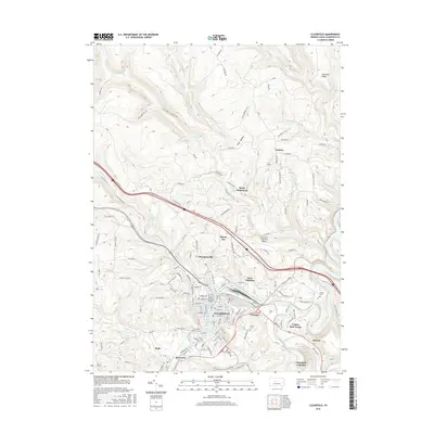
(20)- 2010 Map of Curwensville, 2010 Print
 2010 Curwensville2010 Print · USGSCovers Pike Township, including Curwensville, Grampian, and other nearby areas
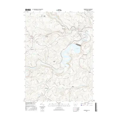
 - 2010 Map of Glen Richey, 2010 Print
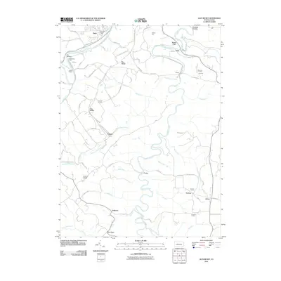 2010 Glen Richey2010 Print · USGSCovers Pike Township, including Knox Township, Woodward Township, and other nearby areas
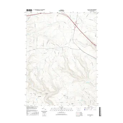
 - 2010 Map of Elliott Park, 2010 Print
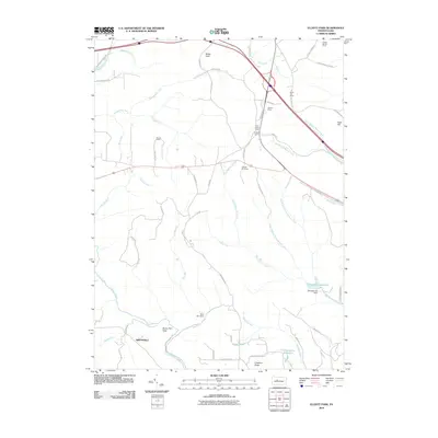 2010 Elliott Park2010 Print · USGSCovers Pike Township, including Bloom Township, Lawrence Township, and other nearby areas
 - 2010 Map of Clearfield, 2010 Print
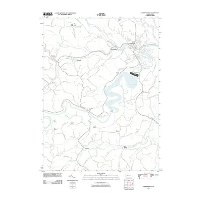
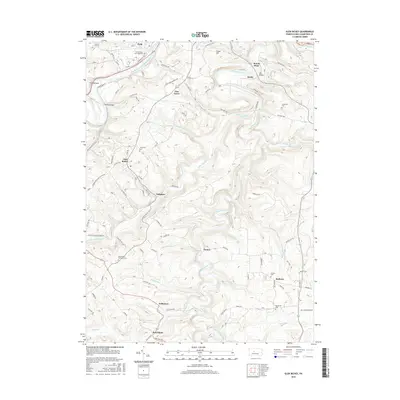
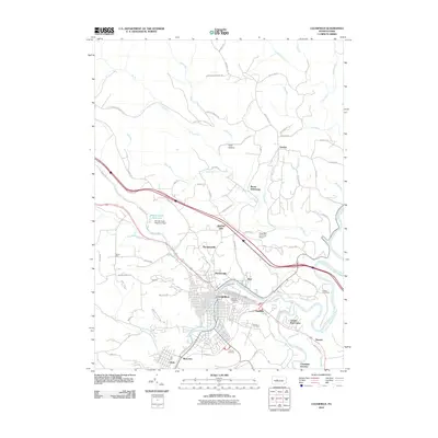 2010 Clearfield2010 Print · USGSCovers Pike Township, including Clearfield, Goshen Township, and other nearby areas
 - 2013 Map of Curwensville, 2013 Print
 2013 Curwensville2013 Print · USGSCovers Pike Township, including Curwensville, Grampian, and other nearby areas
 - 2013 Map of Glen Richey, 2013 Print
 2013 Glen Richey2013 Print · USGSCovers Pike Township, including Knox Township, Woodward Township, and other nearby areas
 - 2013 Map of Clearfield, 2013 Print
 2013 Clearfield2013 Print · USGSCovers Pike Township, including Clearfield, Goshen Township, and other nearby areas
 - 2013 Map of Elliott Park, 2013 Print
 2013 Elliott Park2013 Print · USGSCovers Pike Township, including Bloom Township, Lawrence Township, and other nearby areas
 - 2016 Map of Clearfield, 2016 Print
 2016 Clearfield2016 Print · USGSCovers Pike Township, including Clearfield, Goshen Township, and other nearby areas
 - 2016 Map of Elliott Park, 2016 Print
 2016 Elliott Park2016 Print · USGSCovers Pike Township, including Bloom Township, Lawrence Township, and other nearby areas
 - 2016 Map of Curwensville, 2016 Print
 2016 Curwensville2016 Print · USGSCovers Pike Township, including Curwensville, Grampian, and other nearby areas
 - 2016 Map of Glen Richey, 2016 Print
 2016 Glen Richey2016 Print · USGSCovers Pike Township, including Knox Township, Woodward Township, and other nearby areas
 - 2019 Map of Curwensville, 2019 Print
 2019 Curwensville2019 Print · USGSCovers Pike Township, including Curwensville, Grampian, and other nearby areas
 - 2019 Map of Glen Richey, 2019 Print
 2019 Glen Richey2019 Print · USGSCovers Pike Township, including Knox Township, Woodward Township, and other nearby areas
 - 2019 Map of Clearfield, 2019 Print
 2019 Clearfield2019 Print · USGSCovers Pike Township, including Clearfield, Goshen Township, and other nearby areas
 - 2019 Map of Elliott Park, 2019 Print
 2019 Elliott Park2019 Print · USGSCovers Pike Township, including Bloom Township, Lawrence Township, and other nearby areas
 - 2023 Map of Glen Richey, 2023 Print
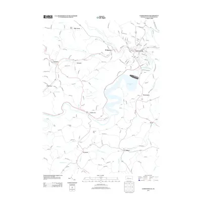
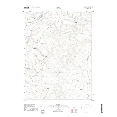
 2023 Glen Richey2023 Print · USGSClearfield County is shown here in the 2020s, where the winding valley of Clearfield Creek shapes the local geography. Family historians can trace ancestral sites at Thompson Cem, Sanborn Cem, and the old settlement at Oshanter.
 - 2023 Map of Curwensville, 2023 Print
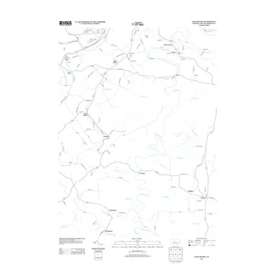
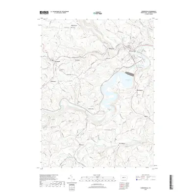
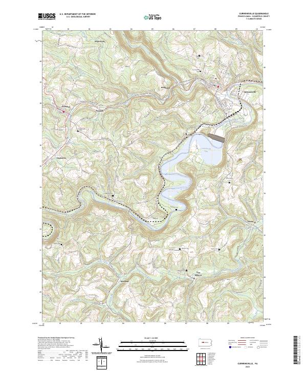 2023 Curwensville2023 Print · USGSClearfield County's river-cut valleys and upland ridges are captured in this recent survey of the West Branch Susquehanna. Genealogists can trace family heritage through numerous burial sites including Oak Hill Cem, Lumber City Cem, and McClure Cem.
 - 2023 Map of Clearfield, 2023 Print
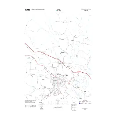
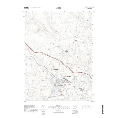
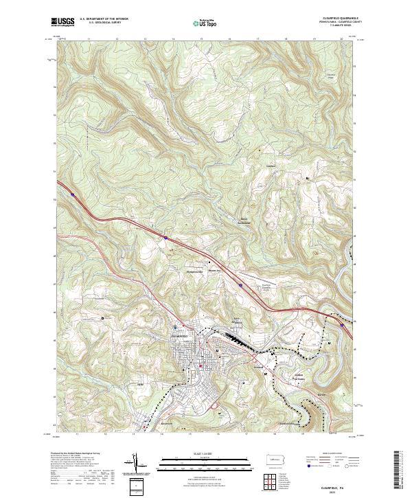 2023 Clearfield2023 Print · USGSCentral Clearfield County comes into focus in this recent survey, showcasing the river valley's growth and civic core. Researchers can trace family history at Old Clearfield Cem or locate old landmarks like the Clearfield-Lawrence Airport and Baney Settlement.
 - 2023 Map of Elliott Park, 2023 Print
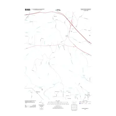
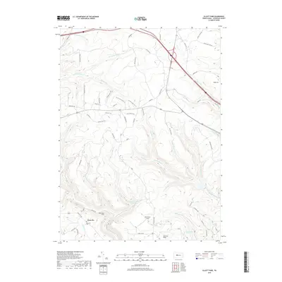
 2023 Elliott Park2023 Print · USGSThe Allegheny Plateau in the early 2020s is defined here by its high ridges and deep creek valleys. Trace local history at the Greenville Cem or explore the network of S.B. Elliott State Park Trails Trl and Old Orchard Airport.
End of results
Showing maps 1-20 of 20
Top cities near Pike Township
- Sandy Township historical maps
- DuBois historical maps
- Clearfield historical maps
- Curwensville historical maps
- Beccaria Township historical maps
- Houtzdale historical maps
See more
Top neighborhoods of Pike Township
Frequently asked questions
- What are the different types of historical maps available for Pike Township?
- What is the oldest map of Pike Township?
- Where can I purchase historical maps of Pike Township for my home or office?
- Where can I download high-res historical maps of Pike Township?
- Are there historical topographic maps available for Pike Township?
- Is there historical aerial imagery available for Pike Township?
- Where are historical maps of Pike Township sourced from?