2010s Maps of Pike Township, Pennsylvania
Explore 16 historic maps of Pike Township from the 2010s. These maps offer a rare glimpse into what life looked like during the 2010s — showing old roads, neighborhoods, homes, and landmarks that have changed or disappeared over time.
Whether you're researching your family's past, planning a metal detecting trip, or studying how Pike Township's landscape evolved across the 2010s, these high-resolution maps are a powerful tool for exploring the history of this region.
- Focus on a specific era: All maps on this page are from the 2010s, giving you a focused view of this time period.
- See what’s changed: Compare century-old streets, trails, and buildings to today's modern landscape using overlays and satellite layers.
- Research with precision: Use these maps for genealogy, historical research, land use analysis, or educational projects.
- View, download, or print: Maps are fully viewable online in high resolution, and can be downloaded or printed for your own records.
Start exploring Pike Township's history through authentic maps from the 2010s. This is your window into the past.
Pike Township, PA maps
(16)- 2010 Map of Curwensville, 2010 Print
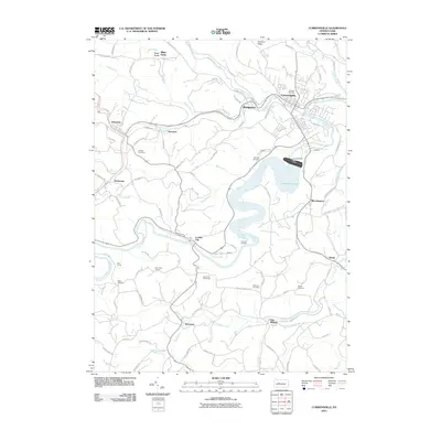 2010 Curwensville2010 Print · USGSThe West Branch of the Susquehanna River valley appears here in the early twenty-first century, centered on the community of Curwensville. Genealogists can trace deep local roots through a dozen burial sites including Oak Hill Cemetery and the Friends Cemetery.
 - 2010 Map of Glen Richey, 2010 Print
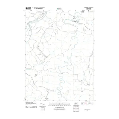 2010 Glen Richey2010 Print · USGSClearfield County's rural heartland is documented here at the turn of the millennium, showing a landscape defined by deep creek valleys and upland mining settlements. Genealogists and local historians can locate numerous family burial sites, including Stoneville Cemetery, Sanborn Cemetery, and the community at Glen Richey.
 - 2010 Map of Elliott Park, 2010 Print
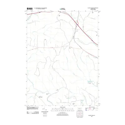 2010 Elliott Park2010 Print · USGSThe Pennsylvania uplands in the early twenty-first century are defined by managed reservoirs and fire protection infrastructure. Genealogists and historians can trace family-named sites like Hoover Farm and Greenville alongside the Rockton Fire Tower.
 - 2010 Map of Clearfield, 2010 Print
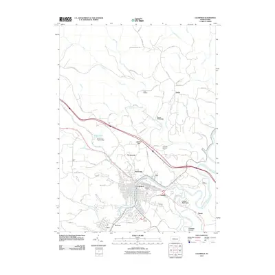 2010 Clearfield2010 Print · USGSThe West Branch Susquehanna River winds through Clearfield County in this 2010 survey, showcasing the regional hub's development and its outlying settlements. Researchers can trace local lineages through Calvary Cemetery and Fulton Cemetery or explore established locales like Baney Settlement and Hyde.
 - 2013 Map of Curwensville, 2013 Print
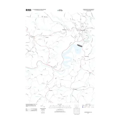 2013 Curwensville2013 Print · USGSClearfield County's river valleys are well-defined in this 2013 survey, showing the relationship between the river and the impoundment at Curwensville Lake. Genealogists and historians can trace family locations near Lumber City, Grampian, and the rocky landmarks of Bilger Rocks.
 - 2013 Map of Glen Richey, 2013 Print
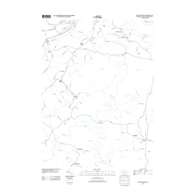 2013 Glen Richey2013 Print · USGSIn the coal-rich highlands of Clearfield County, this map shows a region defined by winding creeks and ridge-top hamlets. Trace the heritage of mining communities like Oshanter, Glen Richey, and Kellytown along the shores of Clearfield Creek.
 - 2013 Map of Clearfield, 2013 Print
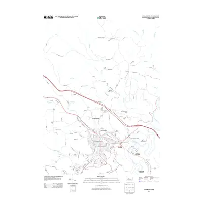 2013 Clearfield2013 Print · USGSClearfield and its surrounding riverfront neighborhoods are shown in detail during the early twenty-first century. Researchers can trace local development around the W Br Susquehanna River and locate landmarks like the Clearfield-Lawrence Airport and Baney Settlement.
 - 2013 Map of Elliott Park, 2013 Print
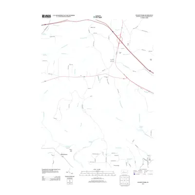 2013 Elliott Park2013 Print · USGSClearfield County's high ridges and watersheds are captured here in the early twenty-first century. Genealogists and local historians can locate Greenville, the Hoover Farm, and high-point landmarks like the Smith Fire Tower and Rockton Fire Tower.
 - 2016 Map of Clearfield, 2016 Print
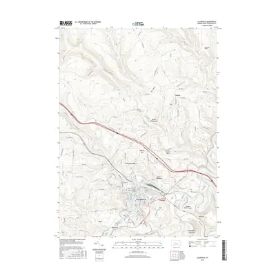 2016 Clearfield2016 Print · USGSClearfield and its surrounding river valley settlements are documented here during the mid-2010s. Genealogists and local historians can locate specific burial sites like Fulton Cem and trace the footprints of communities such as Plymptonville and Hyde.
 - 2016 Map of Elliott Park, 2016 Print
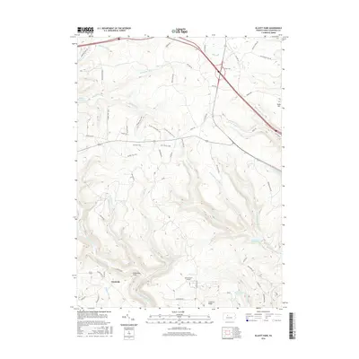 2016 Elliott Park2016 Print · USGSClearfield County's high plateau and forested watersheds are documented here in the mid-2010s. Local historians can trace the geography around Greenville and Elliott Park, identifying landmarks like Old Orchard Airport and the waters of Du Bois Reservoir.
 - 2016 Map of Curwensville, 2016 Print
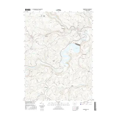 2016 Curwensville2016 Print · USGSClearfield County's river valleys and reservoirs define this 2010s landscape, centered on the confluence at Curwensville. Researchers can locate several historic burial grounds like Oak Hill Cem or trace unique features like the Bilger Rocks and Hoyt Tunnel.
 - 2016 Map of Glen Richey, 2016 Print
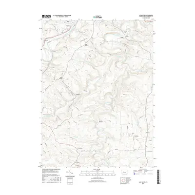 2016 Glen Richey2016 Print · USGSClearfield County's upland plateaus and deep creek valleys are shown here in the mid-2010s, capturing the enduring rural character of central Pennsylvania. Researchers can trace family roots through numerous burial grounds like Stoneville Cem or locate old settlements such as Oshanter and Boardman.
 - 2019 Map of Curwensville, 2019 Print
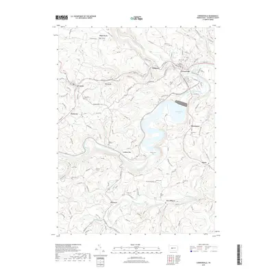 2019 Curwensville2019 Print · USGSThe river valleys of Clearfield County are shown here in the modern era, centered on the strategic confluence at Curwensville. Researchers can locate numerous family burial grounds like Oak Hill Cem and Watts Cem, or trace the paths of the Hoyt Tunnel and Friendship Tunnel.
 - 2019 Map of Glen Richey, 2019 Print
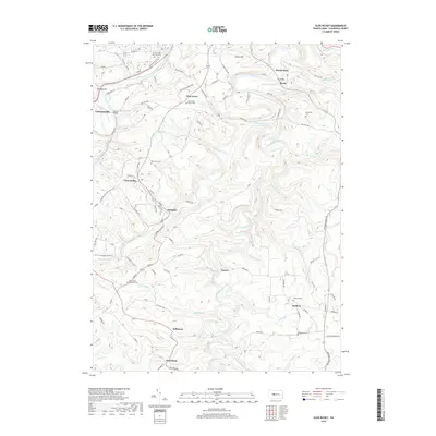 2019 Glen Richey2019 Print · USGSClearfield County's rural heartland and the winding West Branch of the Susquehanna are documented in this recent survey. Local historians can trace established family cemeteries and crossroads settlements like Glen Richey, Oshanter, and Pine Grove Bethel Cem.
 - 2019 Map of Clearfield, 2019 Print
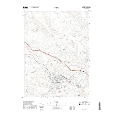 2019 Clearfield2019 Print · USGSClearfield and the Susquehanna River valley are shown in comprehensive detail during the late twenty-teens. Researchers can locate numerous historic burial sites like Shaw Burial Ground and civic landmarks including the Clearfield County Courthouse.
 - 2019 Map of Elliott Park, 2019 Print
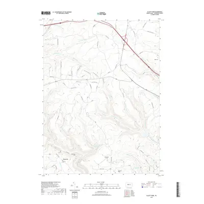 2019 Elliott Park2019 Print · USGSBloom Township and the high ridges of Clearfield County are captured here in the late twenty-teens, showing a landscape of deep valleys and timbered uplands. Genealogists and local historians can locate the Greenville Cem, the site of Old Orchard Airport, and landmarks like Hobo Hill.
End of results
Showing maps 1-16 of 16
Top cities near Pike Township
- Sandy Township historical maps
- DuBois historical maps
- Clearfield historical maps
- Curwensville historical maps
- Beccaria Township historical maps
- Houtzdale historical maps
See more
Top neighborhoods of Pike Township
Frequently asked questions
- What are the different types of historical maps available for Pike Township?
- What is the oldest map of Pike Township?
- Where can I purchase historical maps of Pike Township for my home or office?
- Where can I download high-res historical maps of Pike Township?
- Are there historical topographic maps available for Pike Township?
- Is there historical aerial imagery available for Pike Township?
- Where are historical maps of Pike Township sourced from?