2020s Maps of Columbia County, Pennsylvania
Explore 19 historic maps of Columbia County from the 2020s. These maps offer a rare glimpse into what life looked like during the 2020s — showing old roads, neighborhoods, homes, and landmarks that have changed or disappeared over time.
Whether you're researching your family's past, planning a metal detecting trip, or studying how Columbia County's landscape evolved across the 2020s, these high-resolution maps are a powerful tool for exploring the history of this region.
- Focus on a specific era: All maps on this page are from the 2020s, giving you a focused view of this time period.
- See what’s changed: Compare century-old streets, trails, and buildings to today's modern landscape using overlays and satellite layers.
- Research with precision: Use these maps for genealogy, historical research, land use analysis, or educational projects.
- View, download, or print: Maps are fully viewable online in high resolution, and can be downloaded or printed for your own records.
Start exploring Columbia County's history through authentic maps from the 2020s. This is your window into the past.
Columbia County, PA maps
(19)- 2023 Map of Lairdsville, 2023 Print
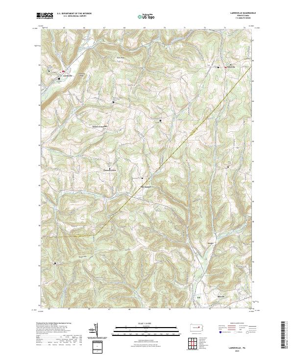 2023 Lairdsville2023 Print · USGSThe rural landscape of Lycoming and Columbia counties is meticulously documented here, showing the settlement patterns of this central Pennsylvania region. Family historians can trace ancestral sites at Germany Lutheran Church Cem, Ritters Crossroads, and the village of Unityville.
 - 2023 Map of Benton, 2023 Print
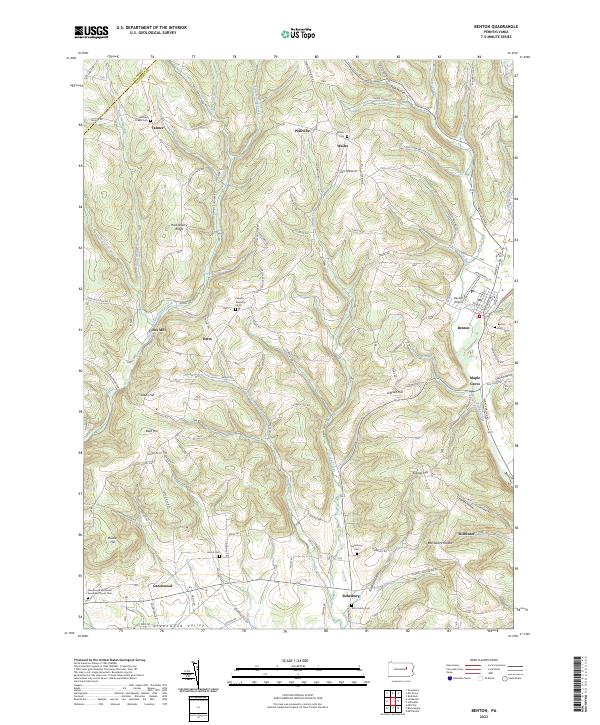 2023 Benton2023 Print · USGSUpper Columbia County settlements and agricultural valleys are captured here in modern detail. Genealogists can trace family landmarks across Greenwood Valley and locate ancestral sites at Rohrsburg Cem or the Wesley Chapel Cem.
 - 2023 Map of Hughesville, 2023 Print
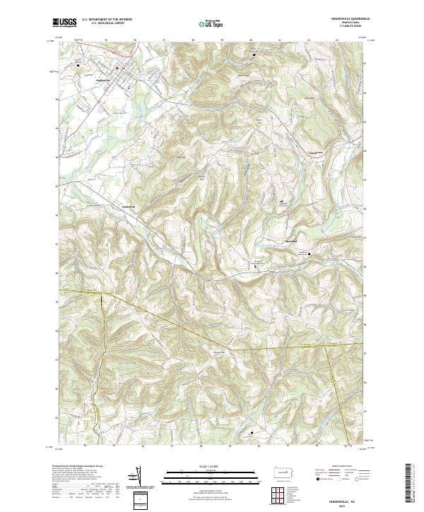 2023 Hughesville2023 Print · USGSThe area around Hughesville in the 2020s shows a complex geography of ridges and creek valleys at the convergence of four counties. Genealogists can locate family burial sites at Saint James Cem or Moreland Lutheran Cem and trace old homesteads near Clarkstown.
 - 2023 Map of Elk Grove, 2023 Print
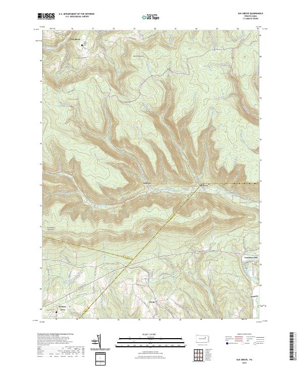 2023 Elk Grove2023 Print · USGSSullivan and Columbia counties meet in this highland region during the early twenty-first century, where the West Branch of Fishing Creek cuts through the plateau. Researchers can trace rural settlement patterns at Elk Grove, Richarts Grove, and Emmons, or locate family sites near York Hollow and Grassmere Park.
 - 2023 Map of Millville, 2023 Print
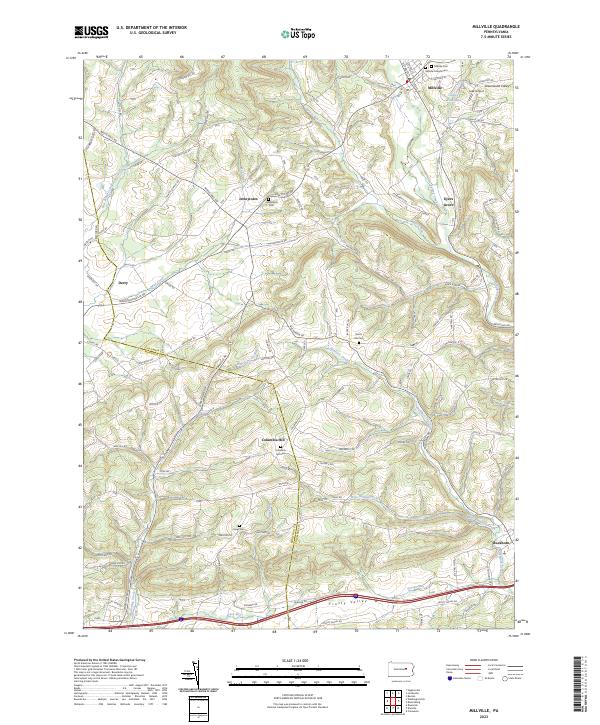 2023 Millville2023 Print · USGSColumbia and Montour counties appear here in the early twenty-first century as a network of rural valleys and ridge-top settlements. Researchers can locate numerous local burial sites including Jerseytown and Columbia Hill Cem or trace waterways like Frozen Run.
 - 2023 Map of Stillwater, 2023 Print
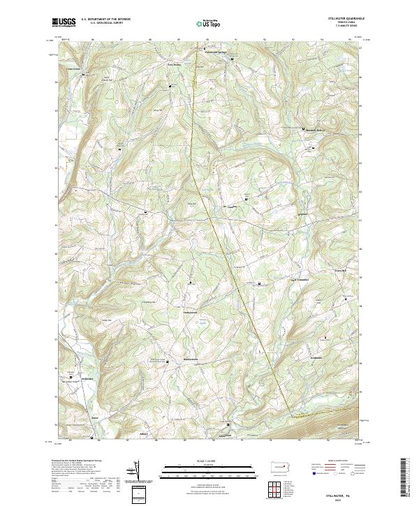 2023 Stillwater2023 Print · USGSCrossing the Columbia and Luzerne County line in the modern era, this survey captures a network of rural hamlets and upland ridges. Genealogists can trace family landmarks at Stillwater Cem, Saint Gabriel Hill, and the community of Honeytown.
 - 2023 Map of Mifflinville, 2023 Print
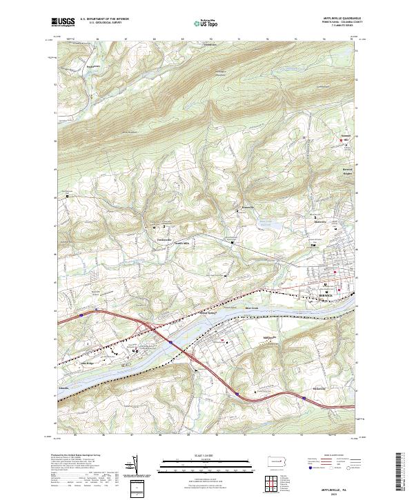 2023 Mifflinville2023 Print · USGSThe Susquehanna River valley in Columbia County appears here in the early twenty-first century, showing the corridor between Mifflinville and Berwick. Genealogists can locate family landmarks like the Creasy Family Cem, Brown Cem, and Saint Marys Cem.
 - 2023 Map of Bloomsburg, 2023 Print
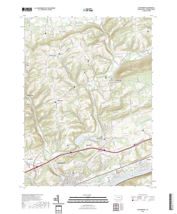 2023 Bloomsburg2023 Print · USGSBloomsburg and the Susquehanna River valley are shown in comprehensive detail in the twenty-first century, from the university campus to the rural ridges. Genealogists can trace family heritage at Old Rosemont Cem, Creveling Cem, and Hidlay Ch.
 - 2023 Map of Berwick, 2023 Print
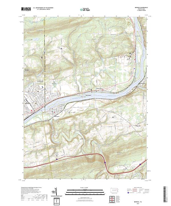 2023 Berwick2023 Print · USGSThe industrial corridor of the Susquehanna River comes into sharp focus in this recent survey of Berwick and Nescopeck. Genealogists can trace family plots at Garrison Memorial Cem and Mount Zion Cem, or explore rural reaches like Foundryville and Wapwallopen.
 - 2023 Map of Washingtonville, 2023 Print
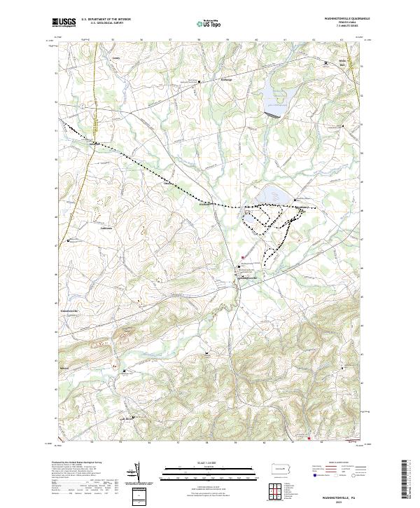 2023 Washingtonville2023 Print · USGSMontour and Northumberland counties appear here in the early twenty-first century, showing a landscape of deep-rooted farm communities and creek valleys. Genealogists can trace family names through numerous burial sites including Derry Presbyterian Cem and Beaver Run Mennonite Cem.
 - 2023 Map of Red Rock, 2023 Print
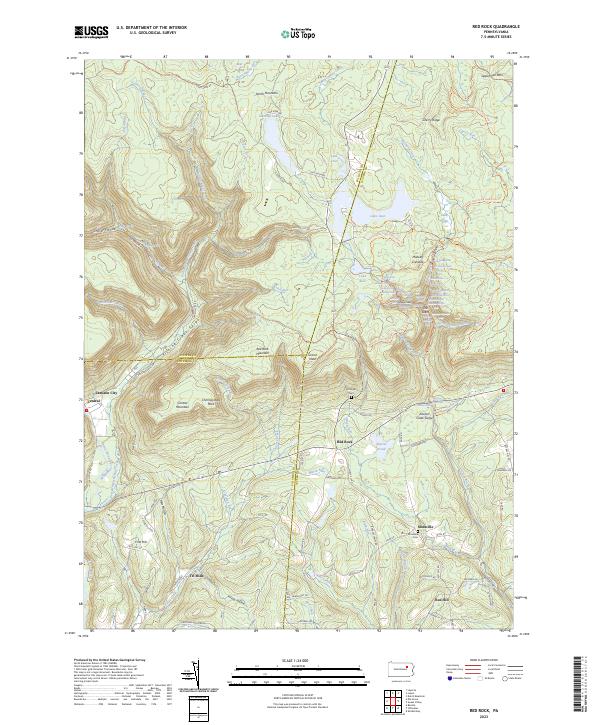 2023 Red Rock2023 Print · USGSThe high plateau where Sullivan, Luzerne, and Columbia counties converge is documented here in the early twenty-first century. Researchers can trace rural cemeteries like Mossville Cem and the small settlements of Jamison City and Tri Mills.
 - 2023 Map of Shickshinny, 2023 Print
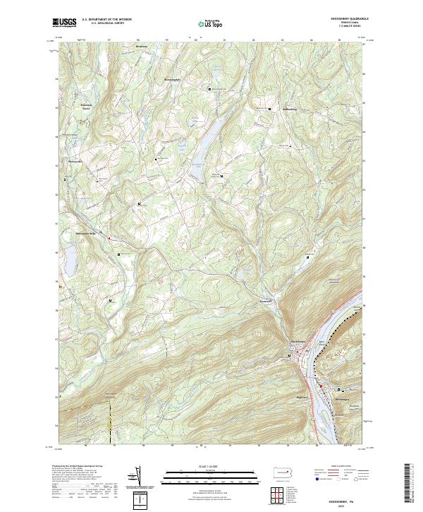 2023 Shickshinny2023 Print · USGSThe river valleys and ridge lines of Luzerne County are captured here in the early twenty-first century. Genealogists and local historians can trace family locations through numerous sites like Benscoter Cem, Patterson Grove, and Bloomingdale Cem.
 - 2023 Map of Shumans, 2023 Print
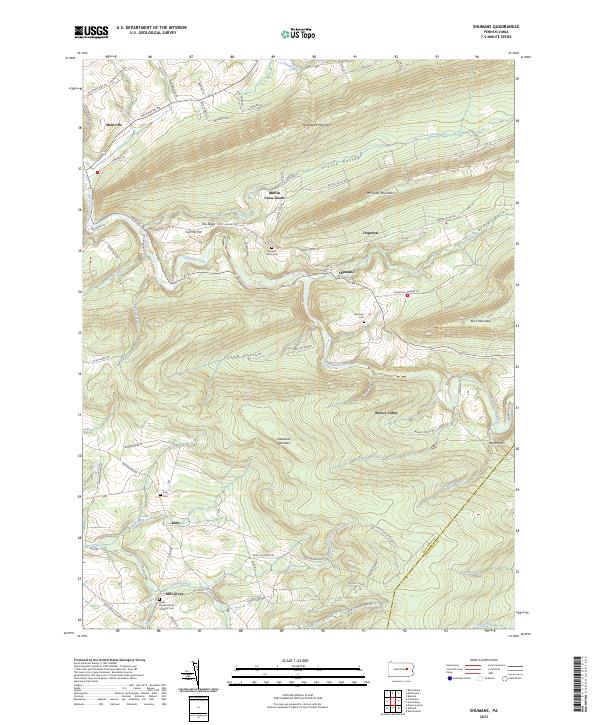 2023 Shumans2023 Print · USGSColumbia County’s ridge-and-valley landscape is documented here in the early 2020s, showing the enduring rural layout of the region. Researchers can trace local heritage through several burial sites and settlements, including Hargers Union Cem, Mill Grove, and the hamlet of Shumans.
 - 2023 Map of Nuremberg, 2023 Print
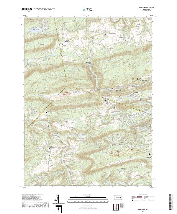 2023 Nuremberg2023 Print · USGSThe tri-county border area of Schuylkill, Luzerne, and Columbia counties is documented here in the early twenty-first century. Researchers can trace family sites at Nuremberg Cem, explore the varied hamlets of Rock Glen and Zion Grove, or locate McDonald's Airport.
 - 2023 Map of Catawissa, 2023 Print
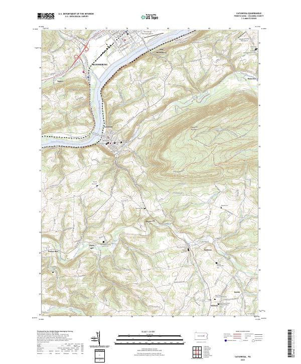 2023 Catawissa2023 Print · USGSCatawissa and the Susquehanna River valley are documented here in the 2020s, showing a landscape shaped by early religious settlements and river-valley industry. Genealogists can trace numerous family-named sites and burial grounds like McIntyre Cem, Pensyls Mill, and the Roaring Creek Quaker Cem.
 - 2023 Map of Danville, 2023 Print
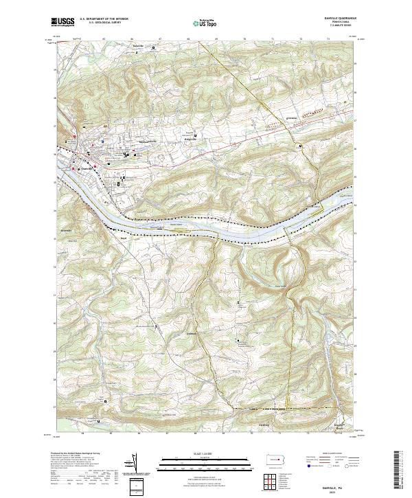 2023 Danville2023 Print · USGSDanville and the surrounding river valley are captured here in the early twenty-first century as they span the borders of Montour, Northumberland, and Columbia counties. Researchers can locate numerous historical burial sites like Saint Josephs Cem and trace the paths of Toby Run and Roaring Creek.
 - 2023 Map of Mount Carmel, 2023 Print
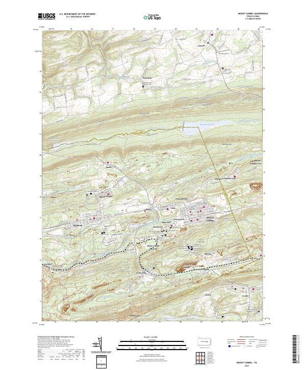 2023 Mount Carmel2023 Print · USGSThe coal-country settlements of eastern Pennsylvania are mapped here in detail during the early 2020s. Researchers can trace numerous family and parish sites, from Mount Carmel Cem to the early mining hubs at Natalie and Kulpmont.
 - 2023 Map of Shamokin, 2023 Print
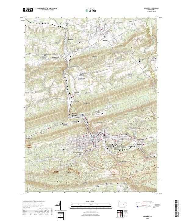 2023 Shamokin2023 Print · USGSNorthumberland County's coal-region heritage is preserved here, showing the dense residential grid of Shamokin and its surrounding valley towns. Genealogists can locate family sites at Jacobs Church Cem, the Wynn School, and numerous parish cemeteries.
 - 2023 Map of Ashland, 2023 Print
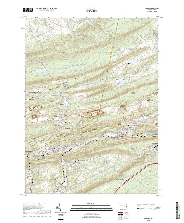 2023 Ashland2023 Print · USGSSchuylkill County mining towns and mountain ridges are captured in this modern survey of the anthracite coal region. Genealogists can locate numerous burial sites including Odd Fellows Cem and Saint Ignatius Cem near Centralia.
End of results
Showing maps 1-19 of 19
Top cities of Columbia County
- Bloomsburg historical maps
- Berwick historical maps
- Greenwood Township historical maps
- North Centre Township historical maps
- Millville historical maps
- Benton historical maps
See more
Frequently asked questions
- What are the different types of historical maps available for Columbia County?
- What is the oldest map of Columbia County?
- Where can I purchase historical maps of Columbia County for my home or office?
- Where can I download high-res historical maps of Columbia County?
- Are there historical topographic maps available for Columbia County?
- Is there historical aerial imagery available for Columbia County?
- Where are historical maps of Columbia County sourced from?