Old Maps of Spring Creek Township, Pennsylvania for Metal Detecting
Plan your next treasure hunt with 31 historic maps of Spring Creek Township. Find old homesites, ghost towns, trails, and gathering spots that may be lost to time — perfect for identifying promising metal detecting locations.
- Locate forgotten sites: Uncover places like long-lost settlements, abandoned rail lines, or gathering spots.
- Plan better hunts: Use map overlays combined with LiDAR or satellite views to narrow in on historically rich areas.
- Made for detectorists: Thousands of hobbyists use these maps to discover relics, coins, and hidden history.
Use these historic maps to boost your research and find new opportunities beneath the surface of Spring Creek Township.
Spring Creek Township, PA maps
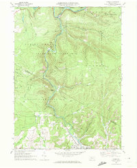
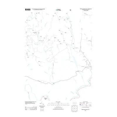
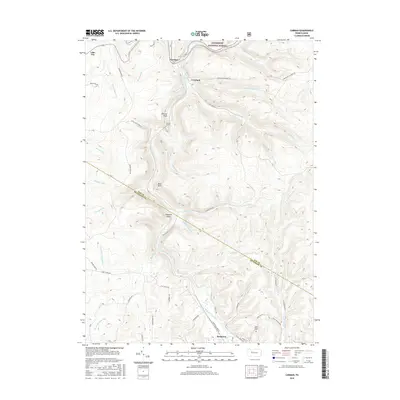
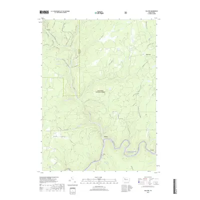
(31)- 1940 Map of Hallton
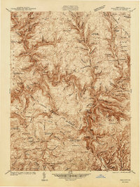 1940 Hallton1940 Print · USGSElk and Jefferson Counties appear here in the early 1940s, showing a landscape defined by the Clarion River valley and the growth of the Allegheny National Forest. Researchers can find old industrial sites and rural landmarks like the Empire Tunnel, St Tobias Cem, and the CCC Camp.3 unique versions available
 - 1943 Map of Hallton
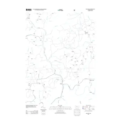
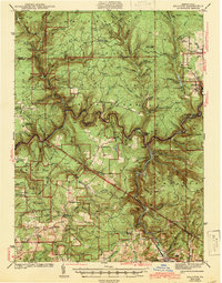 1943 Hallton1943 Print · USGSThe Clarion River valley and surrounding plateau are captured here just before the mid-century, revealing a network of isolated settlements and forest industry. Researchers can find old sites like the CCC Camp near Croyland, the Empire Tunnel, and small rural schools including Lake City Sch.3 unique versions available
 - 1957 Map of Warren, 1964 Print
 1957 Warren1964 Print · USGSThe northern Pennsylvania oil and timber country comes into focus in the mid-fifties, showing the region before modern highway expansions. Trace the industrial rail networks of the Pennsylvania RR and the early Allegheny River Reservoir near Warren and Oil City.4 unique versions available
 - 1958 Map of Warren
 1958 Warren1958 Print · USGSNorthern Pennsylvania’s timber and oil country is captured here during the late fifties, showing the interplay of industrial valleys and vast state forests. Genealogists can trace family connections across the Cornplanter Indian Reservation or through rail hubs like Oil City and Saint Marys.
 - 1959 Map of Warren
 1959 Warren1959 Print · USGSNorthern Pennsylvania's oil and timber country comes alive in this late-fifties study of the forest-clad plateaus. Trace the historic Cornplanter (Indian Reservation), the sprawling Oil Field, and the rail lines of the Pennsylvania RR.2 unique versions available
 - 1969 Map of Munderf, 1972 Print
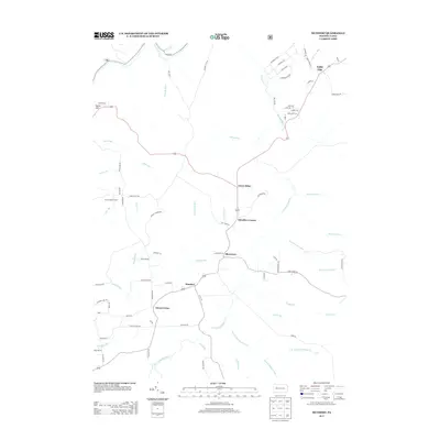
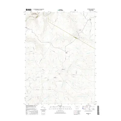
 1969 Munderf1972 Print · USGSJefferson County was a landscape of dense timber and energy extraction in the late sixties, where state forests met active gas fields. Genealogists and researchers can trace local families through small settlements like Munderf, the remote Munderf Cem, and old crossroads at Schoffner Corner and Dutch Hill.3 unique versions available
 - 1969 Map of Hallton, 1972 Print
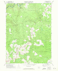
 1969 Hallton1972 Print · USGSElk County's deep woods and river valleys are captured here in the late sixties as the regional gas industry and national forest lands shaped the terrain. Researchers can locate the Maxwell Run Cem, the river settlement of Arroyo, and the remote Lookout Tower.2 unique versions available
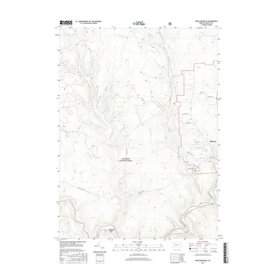
 - 1969 Map of Portland Mills, 1972 Print
 1969 Portland Mills1972 Print · USGSElk County during the late sixties shows a landscape of deep woods and industrial utility. Genealogists and historians can trace the Penn Central rail lines, find family names at Ott Cem, or locate landmarks like Kings Airfield and Portland Mills.2 unique versions available
 - 1970 Map of Carman, 1972 Print
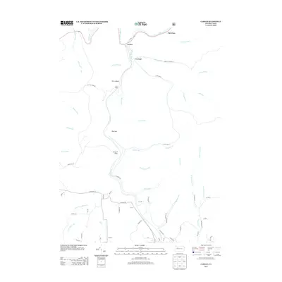
 1970 Carman1972 Print · USGSElk and Jefferson counties during the 1970s show a landscape shaped by coal mining, timber, and the winding rail lines of the Baltimore and Ohio. Researchers can trace the industrial footprint of Strip Mine sites and find local landmarks like St Tobias Cem and the Empire Tunnel.3 unique versions available
 - 1971 Map of Warren
 1971 Warren1971 Print · USGSNorth Central Pennsylvania is captured here in the early seventies, showing a landscape defined by industrial centers and massive state forests. Genealogists and historians can trace the rail lines of the Penn Central and Erie Lackawanna connecting towns like Warren, Kane, and Du Bois.
 - 1983 Map of Clearfield, 1984 Print
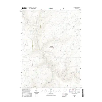
 1983 Clearfield1984 Print · USGSPennsylvania's coal and timber heartland is captured in the early eighties as industrial hubs like Du Bois and Saint Marys thrived among the state forests. Genealogists can locate family landmarks like Morningside Cemetery, the old works at Dagus Mines, and the rural community of Byrnedale.
 - 2011 Map of Munderf, 2011 Print
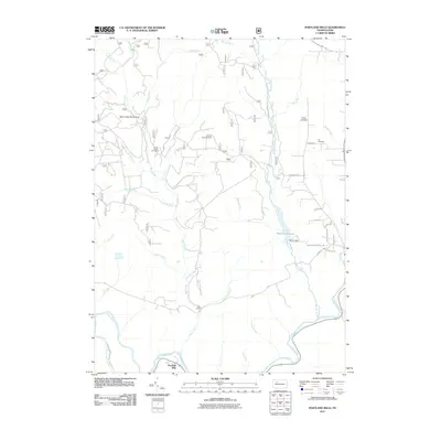
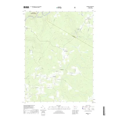
 2011 Munderf2011 Print · USGSCovers Spring Creek Township, including Warsaw Township, Millstone Township, and other nearby areas
 - 2011 Map of Hallton, 2011 Print
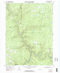
 2011 Hallton2011 Print · USGSCovers Spring Creek Township, including Millstone Township, Jenks Township, and other nearby areas
 - 2011 Map of Carman, 2011 Print
 2011 Carman2011 Print · USGSCovers Spring Creek Township, including Croyland, Tapawingo, and other nearby areas
 - 2011 Map of Portland Mills, 2011 Print
 2011 Portland Mills2011 Print · USGSCovers Spring Creek Township, including Portland Mills, Highland Township, and other nearby areas
 - 2013 Map of Portland Mills, 2013 Print
 2013 Portland Mills2013 Print · USGSCovers Spring Creek Township, including Portland Mills, Highland Township, and other nearby areas
 - 2013 Map of Hallton, 2013 Print
 2013 Hallton2013 Print · USGSCovers Spring Creek Township, including Millstone Township, Jenks Township, and other nearby areas
 - 2013 Map of Munderf, 2013 Print
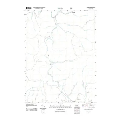
 2013 Munderf2013 Print · USGSCovers Spring Creek Township, including Warsaw Township, Millstone Township, and other nearby areas
 - 2013 Map of Carman, 2013 Print
 2013 Carman2013 Print · USGSCovers Spring Creek Township, including Croyland, Tapawingo, and other nearby areas
 - 2016 Map of Carman, 2016 Print
 2016 Carman2016 Print · USGSCovers Spring Creek Township, including Croyland, Tapawingo, and other nearby areas
 - 2016 Map of Portland Mills, 2016 Print
 2016 Portland Mills2016 Print · USGSCovers Spring Creek Township, including Portland Mills, Highland Township, and other nearby areas
 - 2016 Map of Munderf, 2016 Print
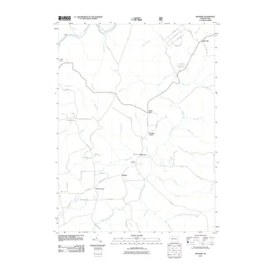
 2016 Munderf2016 Print · USGSCovers Spring Creek Township, including Warsaw Township, Millstone Township, and other nearby areas
 - 2016 Map of Hallton, 2016 Print
 2016 Hallton2016 Print · USGSCovers Spring Creek Township, including Millstone Township, Jenks Township, and other nearby areas
 - 2019 Map of Munderf, 2019 Print
 2019 Munderf2019 Print · USGSCovers Spring Creek Township, including Warsaw Township, Millstone Township, and other nearby areas
 - 2019 Map of Hallton, 2019 Print
 2019 Hallton2019 Print · USGSCovers Spring Creek Township, including Millstone Township, Jenks Township, and other nearby areas
Showing maps 1-25 of 31
Top cities near Spring Creek Township
- Sandy Township historical maps
- Ridgway historical maps
- Brookville historical maps
- Johnsonburg historical maps
- Brockway historical maps
- Warsaw Township historical maps
See more
Top neighborhoods of Spring Creek Township
- Arroyo historical maps
- Beuhler Corner historical maps
- Hallton historical maps
- Croyland historical maps
- Portland Mills historical maps
- Lake City historical maps
See more
Frequently asked questions
- What are the different types of historical maps available for Spring Creek Township?
- What is the oldest map of Spring Creek Township?
- Where can I purchase historical maps of Spring Creek Township for my home or office?
- Where can I download high-res historical maps of Spring Creek Township?
- Are there historical topographic maps available for Spring Creek Township?
- Is there historical aerial imagery available for Spring Creek Township?
- Where are historical maps of Spring Creek Township sourced from?