2000s (21st Century) Maps of Hickory Township, Pennsylvania
Explore 30 historic maps of Hickory Township from the 2000s (21st Century). These maps offer a rare glimpse into what life looked like during the 2000s — showing old roads, neighborhoods, homes, and landmarks that have changed or disappeared over time.
Whether you're researching your family's past, planning a metal detecting trip, or studying how Hickory Township's landscape evolved across the 2000s, these high-resolution maps are a powerful tool for exploring the history of this region.
- Focus on a specific era: All maps on this page are from the 2000s, giving you a focused view of this time period.
- See what’s changed: Compare century-old streets, trails, and buildings to today's modern landscape using overlays and satellite layers.
- Research with precision: Use these maps for genealogy, historical research, land use analysis, or educational projects.
- View, download, or print: Maps are fully viewable online in high resolution, and can be downloaded or printed for your own records.
Start exploring Hickory Township's history through authentic maps from the 2000s. This is your window into the past.
Hickory Township, PA maps
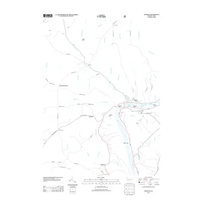
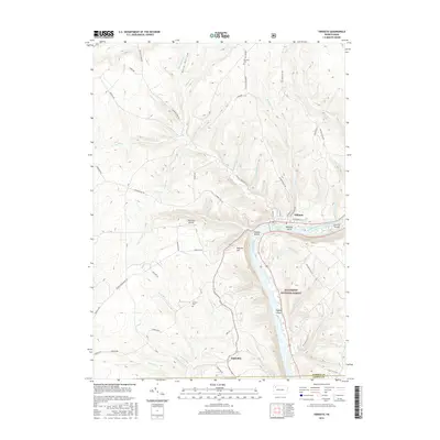
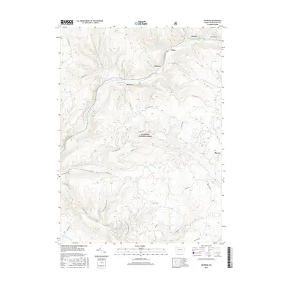
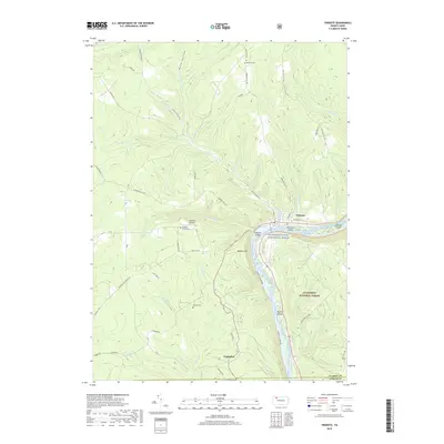
(30)- 2011 Map of West Hickory, 2011 Print
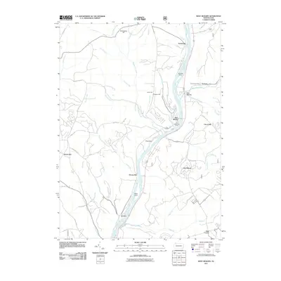 2011 West Hickory2011 Print · USGSCovers Hickory Township, including Tionesta, Triumph Township, and other nearby areas
 - 2011 Map of Tidioute, 2011 Print
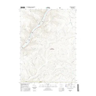
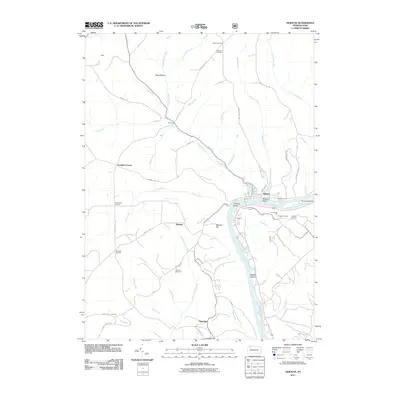 2011 Tidioute2011 Print · USGSCovers Hickory Township, including Tidioute, Triumph Township, and other nearby areas
 - 2011 Map of Cobham, 2011 Print
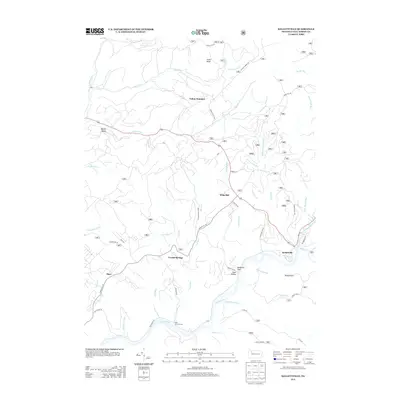
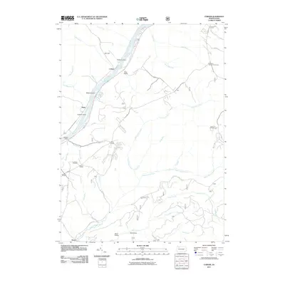 2011 Cobham2011 Print · USGSCovers Hickory Township, including Watson Township, Hearts Content, and other nearby areas
 - 2011 Map of Cherry Grove, 2011 Print
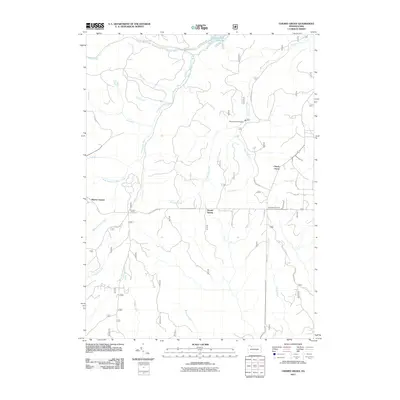 2011 Cherry Grove2011 Print · USGSCovers Hickory Township, including Cherry Grove Township, Watson Township, and other nearby areas
 - 2011 Map of Kellettville, 2011 Print
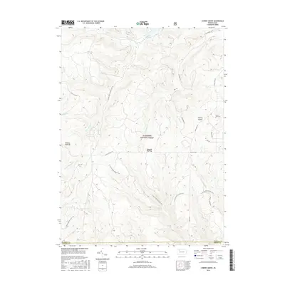
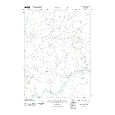 2011 Kellettville2011 Print · USGSCovers Hickory Township, including Starr, Kingsley Township, and other nearby areas
 - 2011 Map of Mayburg, 2011 Print
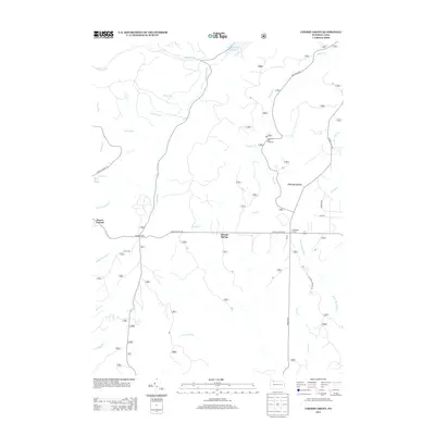
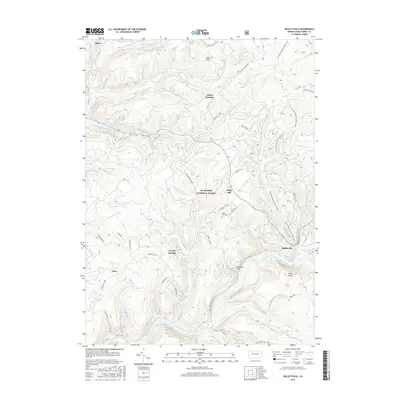
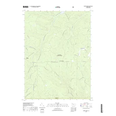
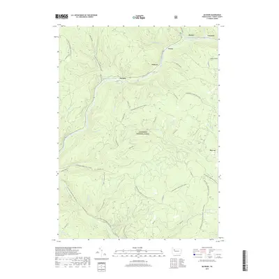
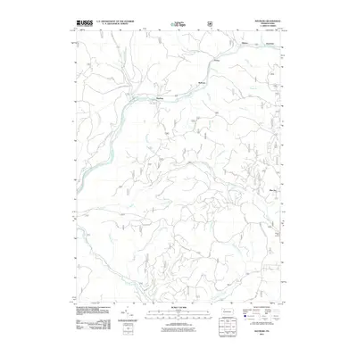 2011 Mayburg2011 Print · USGSCovers Hickory Township, including Minister, Porkey, and other nearby areas
 - 2013 Map of Mayburg, 2013 Print
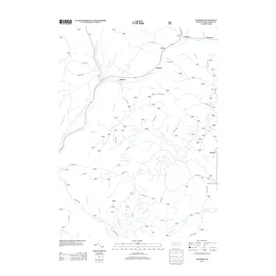 2013 Mayburg2013 Print · USGSCovers Hickory Township, including Minister, Porkey, and other nearby areas
 - 2013 Map of Cobham, 2013 Print
 2013 Cobham2013 Print · USGSCovers Hickory Township, including Watson Township, Hearts Content, and other nearby areas
 - 2013 Map of Cherry Grove, 2013 Print
 2013 Cherry Grove2013 Print · USGSCovers Hickory Township, including Cherry Grove Township, Watson Township, and other nearby areas
 - 2013 Map of Kellettville, 2013 Print
 2013 Kellettville2013 Print · USGSCovers Hickory Township, including Starr, Kingsley Township, and other nearby areas
 - 2013 Map of West Hickory, 2013 Print
 2013 West Hickory2013 Print · USGSCovers Hickory Township, including Tionesta, Triumph Township, and other nearby areas
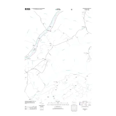
 - 2013 Map of Tidioute, 2013 Print
 2013 Tidioute2013 Print · USGSCovers Hickory Township, including Tidioute, Triumph Township, and other nearby areas
 - 2016 Map of Kellettville, 2016 Print
 2016 Kellettville2016 Print · USGSCovers Hickory Township, including Starr, Kingsley Township, and other nearby areas
 - 2016 Map of Tidioute, 2016 Print
 2016 Tidioute2016 Print · USGSCovers Hickory Township, including Tidioute, Triumph Township, and other nearby areas
 - 2016 Map of Cherry Grove, 2016 Print
 2016 Cherry Grove2016 Print · USGSCovers Hickory Township, including Cherry Grove Township, Watson Township, and other nearby areas
 - 2016 Map of Cobham, 2016 Print
 2016 Cobham2016 Print · USGSCovers Hickory Township, including Watson Township, Hearts Content, and other nearby areas
 - 2016 Map of Mayburg, 2016 Print
 2016 Mayburg2016 Print · USGSCovers Hickory Township, including Minister, Porkey, and other nearby areas
 - 2016 Map of West Hickory, 2016 Print
 2016 West Hickory2016 Print · USGSCovers Hickory Township, including Tionesta, Triumph Township, and other nearby areas
 - 2019 Map of Kellettville, 2019 Print
 2019 Kellettville2019 Print · USGSCovers Hickory Township, including Starr, Kingsley Township, and other nearby areas
 - 2019 Map of Cobham, 2019 Print
 2019 Cobham2019 Print · USGSCovers Hickory Township, including Watson Township, Hearts Content, and other nearby areas
 - 2019 Map of Cherry Grove, 2019 Print
 2019 Cherry Grove2019 Print · USGSCovers Hickory Township, including Cherry Grove Township, Watson Township, and other nearby areas
 - 2019 Map of Tidioute, 2019 Print
 2019 Tidioute2019 Print · USGSCovers Hickory Township, including Tidioute, Triumph Township, and other nearby areas
 - 2019 Map of Mayburg, 2019 Print
 2019 Mayburg2019 Print · USGSCovers Hickory Township, including Minister, Porkey, and other nearby areas
 - 2019 Map of West Hickory, 2019 Print
 2019 West Hickory2019 Print · USGSCovers Hickory Township, including Tionesta, Triumph Township, and other nearby areas
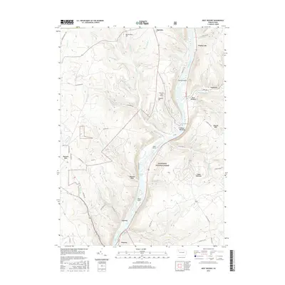
 - 2023 Map of West Hickory, 2023 Print
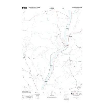
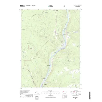
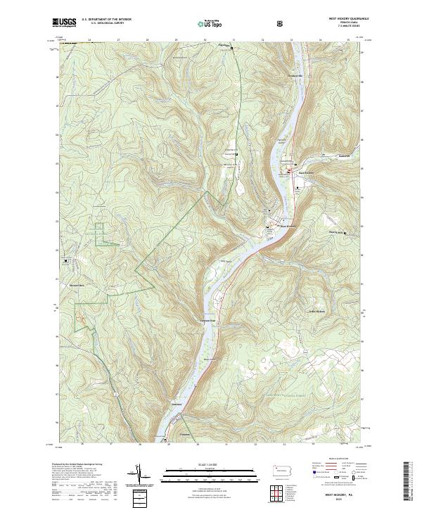 2023 West Hickory2023 Print · USGSThe Allegheny River corridor in Forest County is captured here in modern detail, from its protected wilderness islands to the valley hamlets. Researchers can trace family history at the Methodist Church East Hickory Cem or locate the site of Fagundus.
Showing maps 1-25 of 30
Top cities near Hickory Township
- Pittsfield Township historical maps
- Spring Creek Township historical maps
- Tidioute historical maps
- Tionesta historical maps
- President Township historical maps
- Triumph Township historical maps
See more
Top neighborhoods of Hickory Township
- Queen historical maps
- East Hickory historical maps
- Endeavor historical maps
- Little Hickory historical maps
- Yellow Hammer historical maps
- Church Hill historical maps
Frequently asked questions
- What are the different types of historical maps available for Hickory Township?
- What is the oldest map of Hickory Township?
- Where can I purchase historical maps of Hickory Township for my home or office?
- Where can I download high-res historical maps of Hickory Township?
- Are there historical topographic maps available for Hickory Township?
- Is there historical aerial imagery available for Hickory Township?
- Where are historical maps of Hickory Township sourced from?