Old Maps of Hickory Township, Pennsylvania for Hiking & Exploration
Hike through history with 47 historic maps of Hickory Township. Explore old trails, ghost towns, and forgotten backroads — perfect for outdoor adventurers and local explorers.
- Rediscover forgotten places: Map out old mining camps, roads, and footpaths that no longer exist on modern maps.
- Layer with modern tools: Combine with LiDAR or satellite views to plan hikes through historical terrain.
- Made for exploration: Popular among hikers, overlanders, and local history lovers.
Use these maps to find adventure and explore the hidden past of Hickory Township.
Hickory Township, PA maps
(47)- 1927 Map of Tidioute
 1927 Tidioute1927 Print · USGSThe Allegheny River valley was a bustling corridor of rail and river industry in the late twenties. Genealogists can trace family footprints across dozens of local schoolhouses like Triumph Sch and rural hubs such as Endeavor or East Hickory.4 unique versions available
 - 1930 Map of Tidioute
 1930 Tidioute1930 Print · USGSThe Allegheny River valley and the Pennsylvania Railroad corridor are shown in detail during the late 1920s. Genealogists and historians can trace defunct school sites like Triumph Sch and remote settlements such as Fagundus or Trunkeyville.4 unique versions available
 - 1935 Map of Sheffield
 1935 Sheffield1935 Print · USGSThe Allegheny National Forest region in the mid-1930s reveals a landscape of deep timber runs, winding rail lines, and isolated New Deal work camps. Researchers can trace family roots at Cherry Grove Cem or locate forgotten crossroads like Deadmans Corners and Seldom Seen Corners.2 unique versions available
 - 1941 Map of Sheffield
 1941 Sheffield1941 Print · USGSForest and Warren Counties are seen here during the early 1940s, a period when local logging and oil activities shaped the landscape. Researchers can trace the Tionesta Valley RR and find remote outposts like Pigeon PO or Seldom Seen Cors.2 unique versions available
 - 1947 Map of Cherry Grove, 1972 Print
 1947 Cherry Grove1972 Print · USGSPotter County's high forest plateaus are captured here as they appeared in the late forties and early seventies. Researchers can trace the old Coudersport and Port Allegany Railroad and locate the Cherry Springs Fire Tower.
 - 1957 Map of Warren, 1964 Print
 1957 Warren1964 Print · USGSThe northern Pennsylvania oil and timber country comes into focus in the mid-fifties, showing the region before modern highway expansions. Trace the industrial rail networks of the Pennsylvania RR and the early Allegheny River Reservoir near Warren and Oil City.4 unique versions available
 - 1958 Map of Warren
 1958 Warren1958 Print · USGSNorthern Pennsylvania’s timber and oil country is captured here during the late fifties, showing the interplay of industrial valleys and vast state forests. Genealogists can trace family connections across the Cornplanter Indian Reservation or through rail hubs like Oil City and Saint Marys.
 - 1959 Map of Warren
 1959 Warren1959 Print · USGSNorthern Pennsylvania's oil and timber country comes alive in this late-fifties study of the forest-clad plateaus. Trace the historic Cornplanter (Indian Reservation), the sprawling Oil Field, and the rail lines of the Pennsylvania RR.2 unique versions available
 - 1966 Map of West Hickory, 1967 Print
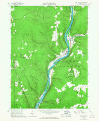 1966 West Hickory1967 Print · USGSThe Allegheny River valley in the mid-1960s shows a landscape of active oil production and deep timberlands. Researchers can locate numerous oil wells across Preacher Hill and trace the historic Little Hickory Furnace and State Fish Hatchery.5 unique versions available
 - 1966 Map of Cobham, 1967 Print
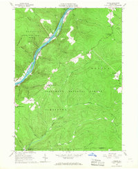 1966 Cobham1967 Print · USGSThe Allegheny River valley in Warren County was a mix of conservation land and resource extraction in the mid-sixties. Genealogists and historians can locate family-named landmarks like Bimber Corners, the Economite Cem, and the Plank Road Sch.3 unique versions available
 - 1966 Map of Kelletteville, 1967 Print
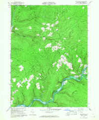 1966 Kelletteville1967 Print · USGSForest County in the mid-1960s shows a landscape of deep timber and evolving waterways within the Allegheny National Forest. Researchers can trace the heritage of Kellettville, locate the Whig Hill Cemetery, and follow the path of an Old Railroad Grade along the creek.3 unique versions available
 - 1966 Map of Tidioute, 1968 Print
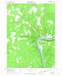 1966 Tidioute1968 Print · USGSThe riverfront borough of Tidioute and the surrounding timberlands of the Allegheny National Forest are captured here in the mid-1960s. Genealogists and researchers can locate old family burial grounds like Morrison Hill Cem and remote settlements such as Fagundus.4 unique versions available
 - 1966 Map of Mayburg, 1969 Print
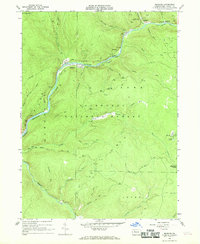 1966 Mayburg1969 Print · USGSForest County during the mid-sixties reveals a deep-woods landscape shaped by resource extraction and early rail lines. Researchers can trace the path of the Old RR Grade through the Allegheny National Forest to find remote locales like Porkey, Blue Jay, and Seldom Seen Corners.3 unique versions available
 - 1966 Map of Cherry Grove, 1970 Print
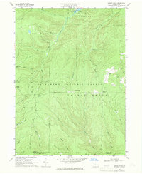 1966 Cherry Grove1970 Print · USGSThe Pennsylvania highlands in the mid-1960s reveal a landscape of forestry, oil extraction, and early recreation. Researchers can trace the Old Railroad Grade and Dunham Siding, or locate the Cherry Grove Cem and Oil Wells scattered across the plateau.4 unique versions available
 - 1971 Map of Warren
 1971 Warren1971 Print · USGSNorth Central Pennsylvania is captured here in the early seventies, showing a landscape defined by industrial centers and massive state forests. Genealogists and historians can trace the rail lines of the Penn Central and Erie Lackawanna connecting towns like Warren, Kane, and Du Bois.
 - 1983 Map of Warren, 1984 Print
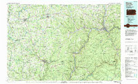 1983 Warren1984 Print · USGSNorthwestern Pennsylvania at the dawn of the 1980s reveals a landscape defined by the petroleum industry and expansive public lands. Trace the legacy of early oil at Drake Well Memorial Park and Pithole City Historical Site, or locate family sites near Warren State Hospital and Kellettville.
 - 1997 Map of West Hickory, 2000 Print
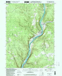 1997 West Hickory2000 Print · USGSThe Allegheny River valley comes into sharp focus during the late 1990s as it winds through Pennsylvania's public forest lands. Genealogists and historians can locate family landmarks like Fagundus, the State Fish Hatchery, and the Cem near East Hickory.
 - 2011 Map of West Hickory, 2011 Print
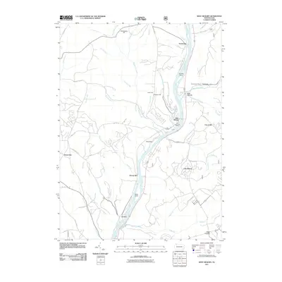 2011 West Hickory2011 Print · USGSThe Allegheny River corridor in the early twenty-first century remains defined by small riverside hamlets and rugged ridge-and-valley topography. Researchers can trace local landmarks and postal hubs like the Endeavor Post Office, Trunkeyville, and the family-named Butcherknife Hill.
 - 2011 Map of Tidioute, 2011 Print
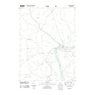 2011 Tidioute2011 Print · USGSThe riverfront and uplands of Warren County are captured here in the early twenty-first century as the Allegheny River winds past Tidioute. Genealogists and local historians can trace family-named sites like Gorman Cemetery, Grandin, and the Russian Houses.
 - 2011 Map of Cobham, 2011 Print
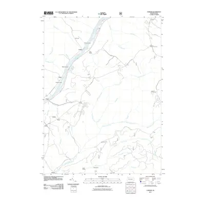 2011 Cobham2011 Print · USGSWarren County’s river valleys and forested highlands appear in detail during this era of modern mapping. Local researchers can trace old crossroads like Bimber Corners, find the Economite Cemetery, or locate the Wheeler Fire Tower.
 - 2011 Map of Cherry Grove, 2011 Print
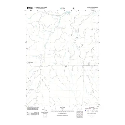 2011 Cherry Grove2011 Print · USGSCherry Grove and the surrounding Allegheny woodlands are captured here just after the turn of the millennium. Genealogists and historians can locate old crossroads like Vandergriff Corners and trace the waters of Minister Creek or Bobbs Creek.
 - 2011 Map of Kellettville, 2011 Print
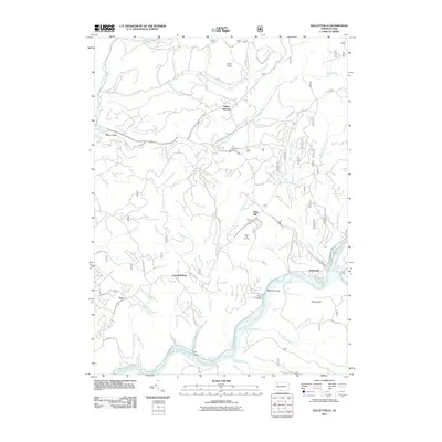 2011 Kellettville2011 Print · USGSForest County's timber and river landscapes are preserved here in the early twenty-first century. You can trace family roots at Whig Hill Cemetery or locate old industrial corridors like the Old Railroad Grade near Kellettville.
 - 2011 Map of Mayburg, 2011 Print
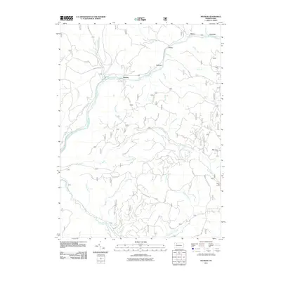 2011 Mayburg2011 Print · USGSForest County's timber and water systems are documented here at the start of the 2010s. Researchers can trace the legacy of small riverside settlements like Mayburg, Minister, and Balltown along the winding course of Tionesta Creek.
 - 2013 Map of Mayburg, 2013 Print
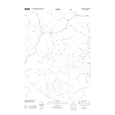 2013 Mayburg2013 Print · USGSForest County's timber and stream valleys are mapped here in the early twenty-first century as they appear along the winding Tionesta Cr. Genealogists and local historians can trace the locations of small settlements like Minister, Balltown, and the remote Seldom Seen Corners.
 - 2013 Map of Cobham, 2013 Print
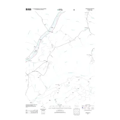 2013 Cobham2013 Print · USGSThe Allegheny River valley and the surrounding high timberlands are captured here in the early twenty-first century. Researchers can trace riverfront settlements like Cobham and Magee, or locate forest landmarks such as Wheeler Fire Tower and Sandstone Springs.
Showing maps 1-25 of 47
Top cities near Hickory Township
- Pittsfield Township historical maps
- Spring Creek Township historical maps
- Tidioute historical maps
- Tionesta historical maps
- President Township historical maps
- Triumph Township historical maps
See more
Top neighborhoods of Hickory Township
- Queen historical maps
- East Hickory historical maps
- Endeavor historical maps
- Little Hickory historical maps
- Yellow Hammer historical maps
- Church Hill historical maps
Frequently asked questions
- What are the different types of historical maps available for Hickory Township?
- What is the oldest map of Hickory Township?
- Where can I purchase historical maps of Hickory Township for my home or office?
- Where can I download high-res historical maps of Hickory Township?
- Are there historical topographic maps available for Hickory Township?
- Is there historical aerial imagery available for Hickory Township?
- Where are historical maps of Hickory Township sourced from?