2010s Maps of Luzerne County, Pennsylvania
Explore 108 historic maps of Luzerne County from the 2010s. These maps offer a rare glimpse into what life looked like during the 2010s — showing old roads, neighborhoods, homes, and landmarks that have changed or disappeared over time.
Whether you're researching your family's past, planning a metal detecting trip, or studying how Luzerne County's landscape evolved across the 2010s, these high-resolution maps are a powerful tool for exploring the history of this region.
- Focus on a specific era: All maps on this page are from the 2010s, giving you a focused view of this time period.
- See what’s changed: Compare century-old streets, trails, and buildings to today's modern landscape using overlays and satellite layers.
- Research with precision: Use these maps for genealogy, historical research, land use analysis, or educational projects.
- View, download, or print: Maps are fully viewable online in high resolution, and can be downloaded or printed for your own records.
Start exploring Luzerne County's history through authentic maps from the 2010s. This is your window into the past.
Luzerne County, PA maps
(108)- 2010 Map of Kingston, 2010 Print
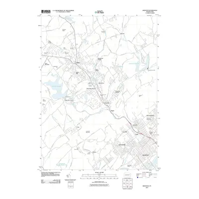 2010 Kingston2010 Print · USGSThe Wyoming Valley communities west of the Susquehanna River are shown in detail during the first decade of the millennium. Researchers can trace local heritage through numerous sites like Saint Vincents Cemetery, the historic rail lines at Harvey Junction, and the Huntsville Reservoir.
 - 2010 Map of Pleasant View Summit, 2010 Print
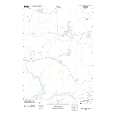 2010 Pleasant View Summit2010 Print · USGSThe Pocono plateau east of the Lehigh River comes into focus in this late-period survey of Thornhurst. Historians can trace the waters from Lake Aleeda down to the Great Falls of the Lehigh or locate landmarks like the Dry Land Hill Tower.
 - 2010 Map of Wilkes-Barre East, 2010 Print
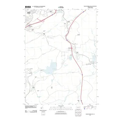 2010 Wilkes-Barre East2010 Print · USGSWilkes-Barre and its eastern mountain suburbs are shown here just after the turn of the millennium as modern highways bridged older industrial landscapes. Trace local history at the Ochre Mill, Holy Trinity Cemetery, and the high-elevation resort at Glen Summit.
 - 2010 Map of Ransom, 2010 Print
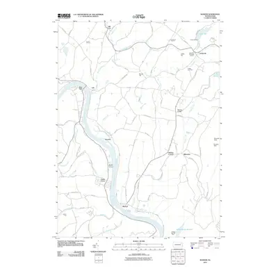 2010 Ransom2010 Print · USGSIn the river valleys of Wyoming County, Pennsylvania, the landscape of 2010 reveals a mix of historic riverfront hamlets and modern hilltop infrastructure. Genealogists and local historians can trace family locations near Wyoanna, Shaffers Corners, and Mountain View Cemetery.
 - 2010 Map of Avoca, 2010 Print
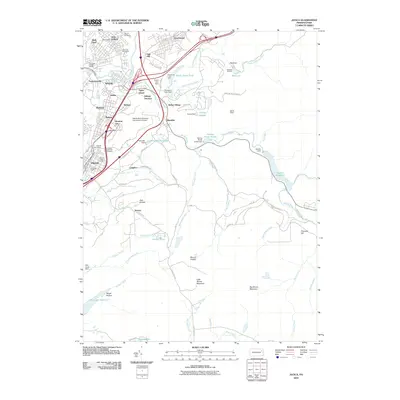 2010 Avoca2010 Print · USGSThe Lackawanna Valley and its coal-mining heritage are captured here in the early twenty-first century. Genealogists and historians can locate Old Forge Number 2 Shaft, the Polish National Cemetery, and the Ghost Town in the Glen.
 - 2010 Map of Thornhurst, 2010 Print
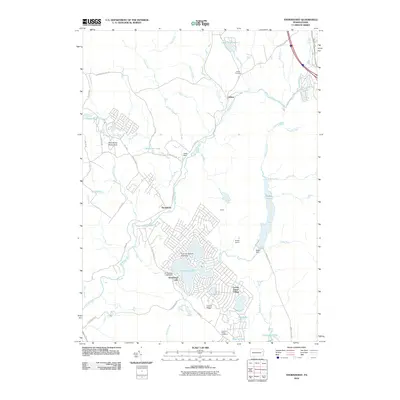 2010 Thornhurst2010 Print · USGSClifton Township and the upper Lehigh River valley are shown here in the early 2000s, balancing historic settlements with lakefront residential growth. Local researchers can trace family sites at Clifton Cemetery or explore the rail-related history of Bradys Switch near Bradys Lake.
 - 2010 Map of Hickory Run, 2010 Print
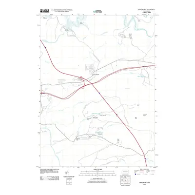 2010 Hickory Run2010 Print · USGSKidder Township and the surrounding highlands are captured here during a period of established state park conservation and recreational growth. Trace local history through the many dams and ponds like Saylorsville Dam, or locate landmarks like Camp Acahela and Boulder Field.
 - 2010 Map of Pittston, 2010 Print
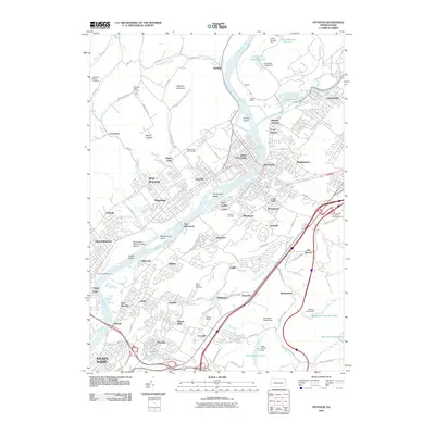 2010 Pittston2010 Print · USGSThe Wyoming Valley at the start of the 2010s shows a landscape deeply defined by its industrial rivers and rail heritage. Genealogists and historians can trace family locations across Pittston, Wyoming, and Laflin, or locate gravesites in the Forty Fort Cemetery.
 - 2010 Map of Stillwater, 2010 Print
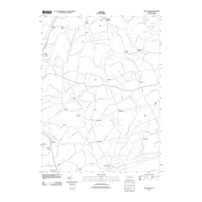 2010 Stillwater2010 Print · USGSThe rural hamlets of Columbia and Luzerne counties are captured here just after the turn of the millennium. Genealogists and historians can trace family roots through numerous sites like Boston Cemetery, Fairmount Springs, and the village of Stillwater.
 - 2010 Map of Noxen, 2010 Print
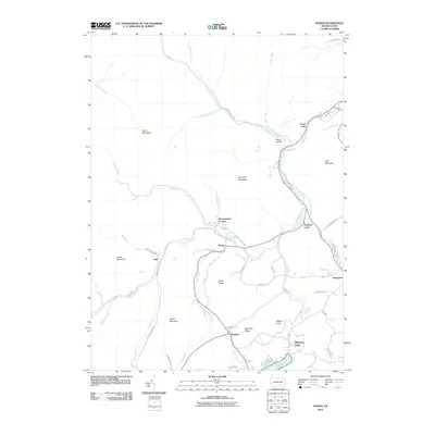 2010 Noxen2010 Print · USGSLuzerne and Wyoming counties are defined by the high ridges and winding creek valleys of the Pocono plateau at the start of the twenty-first century. Researchers can trace the rural landscape through family-named landmarks like Hettesheimer Corners, Stull, and the northern shore of Harveys Lake.
 - 2010 Map of Lopez, 2010 Print
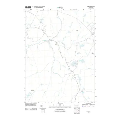 2010 Lopez2010 Print · USGSSullivan County's highlands in the early twenty-first century reveal a landscape of timber-town heritage and forest streams. Genealogists can trace family landmarks at Saint Vladimirs Cemetery and early settlements like Lopez and Ricketts.
 - 2010 Map of Harveys Lake, 2010 Print
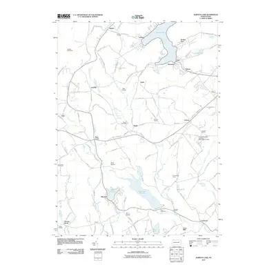 2010 Harveys Lake2010 Print · USGSHarveys Lake and the surrounding Luzerne County highlands are captured here in the early twenty-first century. Researchers can trace local genealogy and land use through Saint Anns Cemetery, the Pennsylvania State University - Wilkes-Barre Campus, and landmarks like Cease Mills.
 - 2010 Map of Sweet Valley, 2010 Print
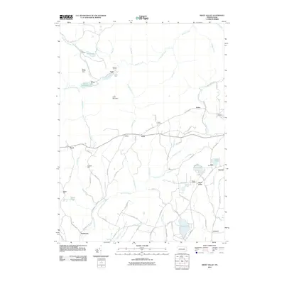 2010 Sweet Valley2010 Print · USGSThe Sweet Valley region of Luzerne County is shown here in the early 2000s, characterized by its network of mountain creeks and dispersed rural settlements. Genealogists can locate family landmarks like Bronson Cemetery and Lateer Cemetery, while tracing the landscape from Sweet Valley to Kyttle.
 - 2010 Map of Red Rock, 2010 Print
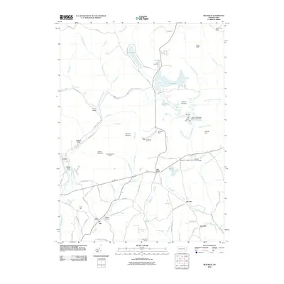 2010 Red Rock2010 Print · USGSSullivan County's highlands are revealed in this century-opening survey of the plateau and its steep glens. Researchers can trace the layout of Jamison City, the natural wonders of Kitchen Creek Gorge, and landmarks like the Grand View Fire Tower.
 - 2010 Map of Nanticoke, 2010 Print
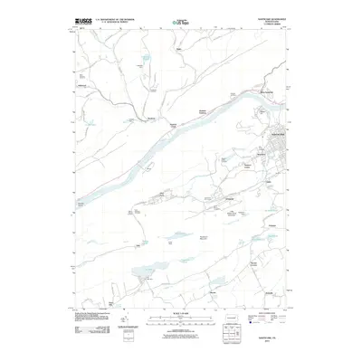 2010 Nanticoke2010 Print · USGSLuzerne County in the early twenty-first century shows a landscape shaped by coal history and the winding Susquehanna River. Researchers can trace family roots through numerous sites like Saint Casimirs Cemetery, the Lee Mine, and local communities like Glen Lyon and Honey Pot.
 - 2010 Map of Sybertsville, 2010 Print
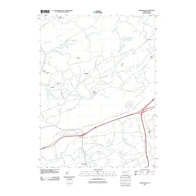 2010 Sybertsville2010 Print · USGSLuzerne County at the turn of the decade displays a mix of mountain ridges and small valley settlements along the Wapwallopen and Nescopeck drainages. Researchers can trace local lineage at Groover Cemetery and locate older communities like Hobbie, Scanlin, and Sybertsville.
 - 2010 Map of Dutch Mountain, 2010 Print
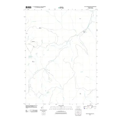 2010 Dutch Mountain2010 Print · USGSThe plateaus and stream valleys of Wyoming County appear here during the early twenty-first century. Genealogists and local historians can locate upland sites like Bellasylva, Junk Cemetery, and the high peak of The Stack.
 - 2010 Map of Shickshinny, 2010 Print
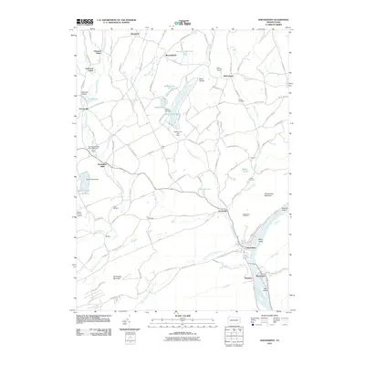 2010 Shickshinny2010 Print · USGSLuzerne County where the Susquehanna River carves through the mountains is shown here at the start of the 2010s. Researchers can trace historic mills and family plots at Huntington Mills Paper Mill Dam, Scott Cemetery, and Mocanaqua.
 - 2010 Map of Center Moreland, 2010 Print
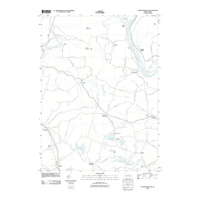 2010 Center Moreland2010 Print · USGSThe Susquehanna River valley and surrounding mountains of Wyoming and Luzerne counties are captured here at the start of the 2010s. Researchers can trace local lineage at Fitch Cemetery or locate old community hubs like Center Moreland, Demunds Corners, and Whites Ferry.
 - 2010 Map of Wilkes-Barre West, 2010 Print
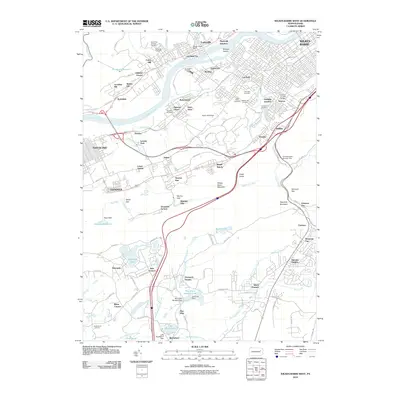 2010 Wilkes-Barre West2010 Print · USGSThe industrial Wyoming Valley and its surrounding ridges are captured here during the first decade of the new millennium. Researchers can trace family sites across Hanover Cemetery, the Conrail Franklin Bridge, and neighborhoods like Loomis Park and Newton.
 - 2010 Map of White Haven, 2010 Print
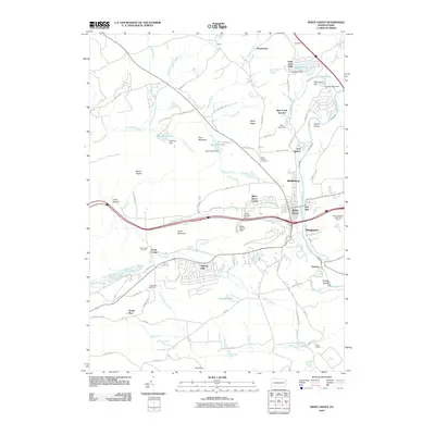 2010 White Haven2010 Print · USGSWhite Haven and the Lehigh River corridor are shown in detail at the turn of the millennium. Genealogists and local researchers can trace family landmarks and neighborhood growth in Middleburg, East Side, and the lakeside community of Penn Lake Park.
 - 2010 Map of Freeland, 2010 Print
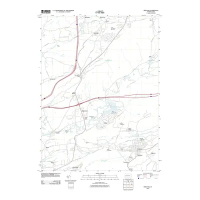 2010 Freeland2010 Print · USGSFreeland and the anthracite coal region settlements are captured here in the early twenty-first century. Researchers can trace local genealogy and land use across South Heberton, Saint Ann Cemetery, and the historic grid of Drifton.
 - 2010 Map of Nuremberg, 2010 Print
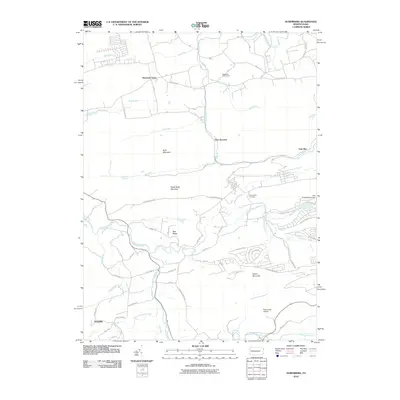 2010 Nuremberg2010 Print · USGSThe ridges and valleys of Columbia County are captured here during the early twenty-first century, showing a mix of rural settlements and modern recreation. Researchers can trace the grounds of Nuremberg Cemetery or locate landmarks like McDonalds Airport and Tomhicken Falls.
 - 2010 Map of Hazleton, 2010 Print
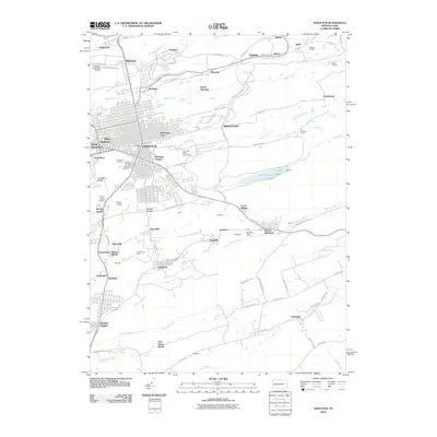 2010 Hazleton2010 Print · USGSGreater Hazleton and the surrounding coal patches are shown here in the early twenty-first century as the industrial landscape evolved. Genealogists can locate family sites in Lattimer, Tresckow, or Beaver Meadows, and trace the rail history at Ashmore Yards.
 - 2010 Map of Weatherly, 2010 Print
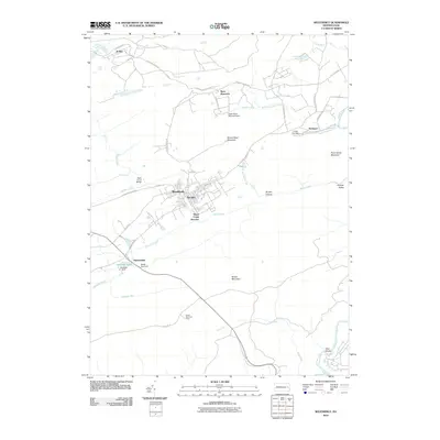 2010 Weatherly2010 Print · USGSCarbon County's high ridges and creek valleys come into focus in the early twenty-first century. Researchers can trace the layout of Weatherly, locate the historic grounds of Eckley, and follow the Lehigh River past the riverfront at Glen Onoko.
Showing maps 1-25 of 108
Top cities of Luzerne County
- Wilkes-Barre historical maps
- Hazleton historical maps
- Kingston historical maps
- Nanticoke historical maps
- Plains Township historical maps
- Dallas Township historical maps
See more
Frequently asked questions
- What are the different types of historical maps available for Luzerne County?
- What is the oldest map of Luzerne County?
- Where can I purchase historical maps of Luzerne County for my home or office?
- Where can I download high-res historical maps of Luzerne County?
- Are there historical topographic maps available for Luzerne County?
- Is there historical aerial imagery available for Luzerne County?
- Where are historical maps of Luzerne County sourced from?