2010s Maps of Stewardson Township, Pennsylvania
Explore 24 historic maps of Stewardson Township from the 2010s. These maps offer a rare glimpse into what life looked like during the 2010s — showing old roads, neighborhoods, homes, and landmarks that have changed or disappeared over time.
Whether you're researching your family's past, planning a metal detecting trip, or studying how Stewardson Township's landscape evolved across the 2010s, these high-resolution maps are a powerful tool for exploring the history of this region.
- Focus on a specific era: All maps on this page are from the 2010s, giving you a focused view of this time period.
- See what’s changed: Compare century-old streets, trails, and buildings to today's modern landscape using overlays and satellite layers.
- Research with precision: Use these maps for genealogy, historical research, land use analysis, or educational projects.
- View, download, or print: Maps are fully viewable online in high resolution, and can be downloaded or printed for your own records.
Start exploring Stewardson Township's history through authentic maps from the 2010s. This is your window into the past.
Stewardson Township, PA maps
(24)- 2010 Map of Oleona, 2010 Print
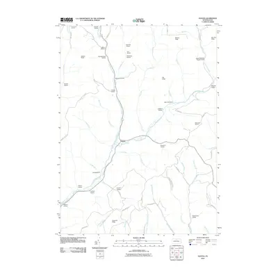 2010 Oleona2010 Print · USGSThe settlement of Oleona and the surrounding Potter County highlands are captured here during the early twenty-first century. Researchers can locate the Yochum Hill Cemetery and trace family-named landmarks like Hickory Ridge and Pritchard Hollow.
 - 2010 Map of Tamarack, 2010 Print
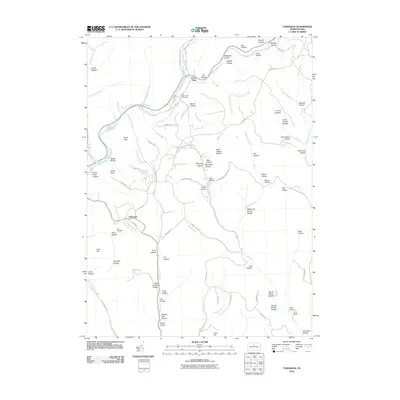 2010 Tamarack2010 Print · USGSClinton County’s high plateau country is documented here in the early twenty-first century, centered on the historic crossroads of Tamarack. Local history researchers can trace the landscape from Laurel Hill Cemetery to early industrial sites like Browns Mill Hollow and Coal Hill.
 - 2010 Map of Short Run, 2010 Print
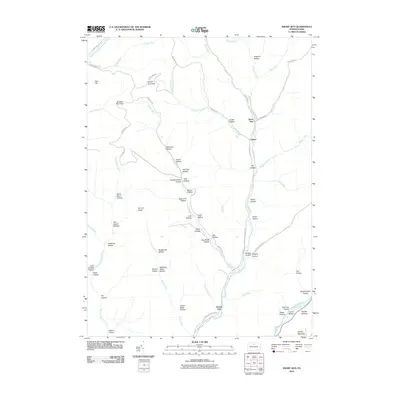 2010 Short Run2010 Print · USGSAbbott Township and the surrounding Potter County highlands appear here in the early twenty-first century. Researchers can trace remote valley settlements like Short Run and find landmarks such as Elk Lick Knob, Gravel Lick, and Pine Hill.
 - 2010 Map of Lee Fire Tower, 2010 Print
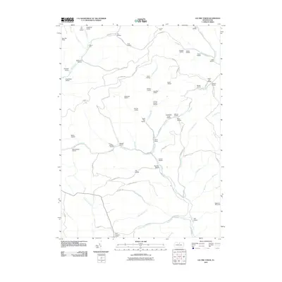 2010 Lee Fire Tower2010 Print · USGSThe high plateau of Potter County is captured here in the early twenty-first century, showing a region defined by its timber and resource history. Researchers can trace land use through namesake features like the Lee Fire Tower, Black Forest Inn Airport, and Sliders Dam.
 - 2010 Map of Slate Run, 2010 Print
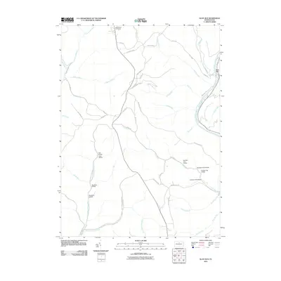 2010 Slate Run2010 Print · USGSThe wilderness of Potter and Lycoming Counties is captured here in the early twenty-first century, centered on the Pine Creek corridor. Local history enthusiasts can trace old logging routes and remote landmarks like Black Forest Inn Airport, Slate Run, and the winding Narrow Gauge Rd.
 - 2010 Map of Young Womans Creek, 2010 Print
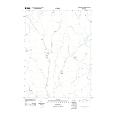 2010 Young Womans Creek2010 Print · USGSPotter County’s forested ridges and deep drainages are captured here in the early 2000s, showing a landscape defined by its complex watershed. Genealogists and hikers can trace the winding paths of Young Womans Creek, Summerson Mountain, and namesake features like Quiggle Hollow.
 - 2013 Map of Lee Fire Tower, 2013 Print
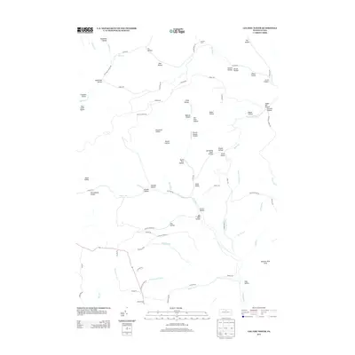 2013 Lee Fire Tower2013 Print · USGSAbbott Township and the surrounding Pennsylvania wildlands are shown in detail during the early 2010s. Local historians can trace family-named landmarks and historical sites like Schoolhouse Hollow, Lee Fire Tower, and Farmer Shanty Hollow.
 - 2013 Map of Short Run, 2013 Print
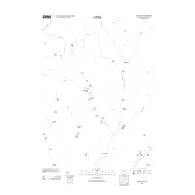 2013 Short Run2013 Print · USGSPotter County's deeply carved valleys and high ridges are shown here in the early twenty-first century as the landscape was mapped for modern conservation. Genealogists and hikers can trace old family names and terrain features from Elk Lick Knob to settlements like Abbott and Gravel Lick.
 - 2013 Map of Tamarack, 2013 Print
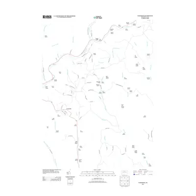 2013 Tamarack2013 Print · USGSClinton County’s deep-cut stream valleys and mountain settlements are captured here in the early twenty-first century. Genealogists and hikers can trace old routes near Cross Fork or locate family-named landmarks like Browns Mill Hollow and Bark Shanty Hollow.
 - 2013 Map of Young Womans Creek, 2013 Print
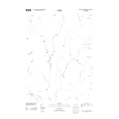 2013 Young Womans Creek2013 Print · USGSThe Pennsylvania highlands north of the West Branch Susquehanna River are mapped here in the early 21st century, showing a landscape of named hollows and ridges. Researchers can trace land features like Quiggle Hollow, Lecox Ridge, and Summerson Mountain alongside the headwaters of Young Womans Cr.
 - 2013 Map of Slate Run, 2013 Print
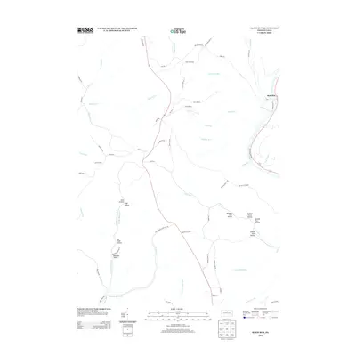 2013 Slate Run2013 Print · USGSStewardson Township in the early twenty-first century remains a landscape of deep hollows and forest trails. Genealogists and historians can trace old access routes like Boyer Mill Rd and Narrow Gauge Rd or locate landmarks like Cannon Hole Hollow and Black Walnut Btm.
 - 2013 Map of Oleona, 2013 Print
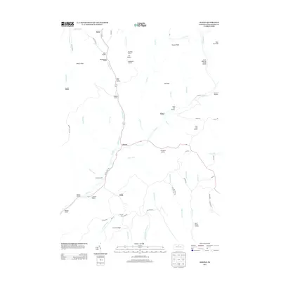 2013 Oleona2013 Print · USGSPotter County's deep valleys and timber lands are captured here in the early twenty-first century, centered on the fork of the Kettle Creeks. Researchers can trace the layout of Ole Bull State Park and locate historic family landmarks like Rhinehimmer Hollow and Nordjeuskald.
 - 2016 Map of Young Womans Creek, 2016 Print
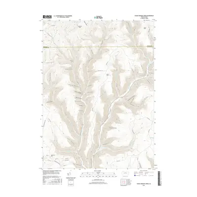 2016 Young Womans Creek2016 Print · USGSStewardson Township was a landscape of high ridges and narrow hollows during the mid-2010s, defined by the deep drainages of the Pennsylvania wilds. Researchers can trace historic access routes like Fork Hill Rd and find family-named landmarks such as Summerson Mtn and Quiggle Hollow.
 - 2016 Map of Tamarack, 2016 Print
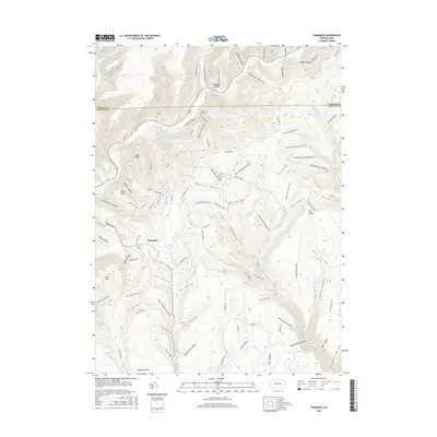 2016 Tamarack2016 Print · USGSClinton and Potter counties meet in this mountain landscape during the 2010s, where the winding Kettle Creek defines the valley. You can trace local history through named hollows like Bark Shanty Hollow and find the rural Laurel Hill Cem near Cross Fork.
 - 2016 Map of Short Run, 2016 Print
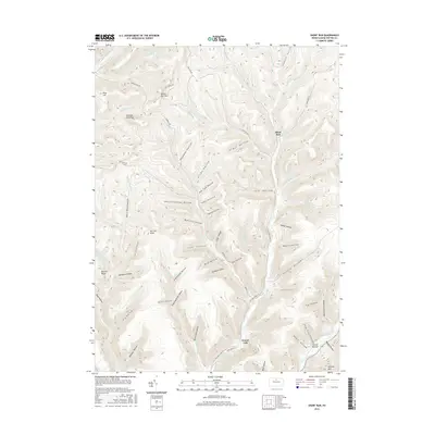 2016 Short Run2016 Print · USGSThe northern Pennsylvania highlands are mapped here in the mid-2010s, showcasing a landscape of deep valleys and narrow ridge tops. Researchers can trace the drainage of Kettle Creek and find small, isolated locales like Gravel Lick, Short Run, and Laurel Bottom.
 - 2016 Map of Slate Run, 2016 Print
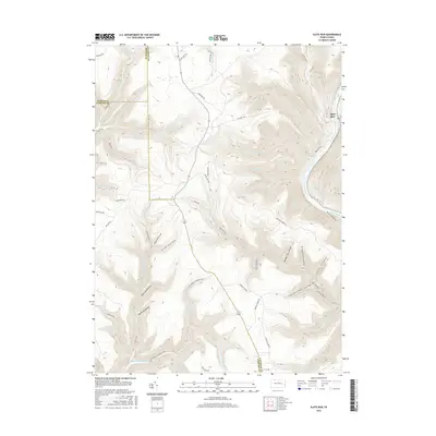 2016 Slate Run2016 Print · USGSThe Pennsylvania Wilds are captured here during the 2010s, showing the deep dissection of the Allegheny Plateau near the intersection of three counties. Trace the historic pathways of the Narrow Gauge Rd, the remote Slate Run settlement, and the steep walls of the Pine Creek Gorge.
 - 2016 Map of Oleona, 2016 Print
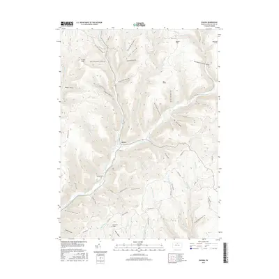 2016 Oleona2016 Print · USGSPotter County’s highland terrain is shown here in the mid-2010s, centered on the historic settlement of Oleona. Genealogists and outdoor historians can trace the deep hollows and high ridges of the region, from Nordjeuskald to Ole Bull Run and Rawson Ridge.
 - 2016 Map of Lee Fire Tower, 2016 Print
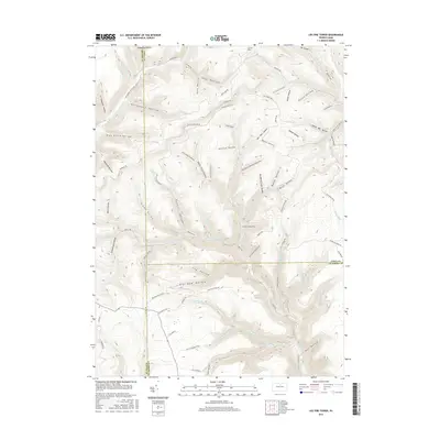 2016 Lee Fire Tower2016 Print · USGSThe high ridges of North Central Pennsylvania meet at the tri-county corner of Potter, Tioga, and Lycoming in this modern topographic study. Genealogists and researchers can trace local landmarks like Lee Fire Tower, Schoolhouse Hollow, and Clay Mine Rd across a landscape of deep valleys and winding creeks.
 - 2019 Map of Short Run, 2019 Print
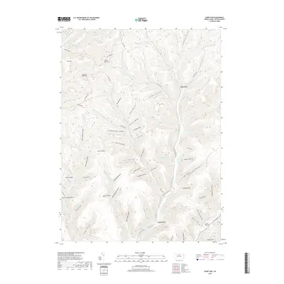 2019 Short Run2019 Print · USGSPotter County’s deeply carved hollows and high ridges are shown here in the late twenty-teens as they define the local geography. Researchers can trace the winding paths of Cross Fork and Kettle Creek past landmarks like Elk Lick Knob, Gravel Lick, and Short Run.
 - 2019 Map of Young Womans Creek, 2019 Print
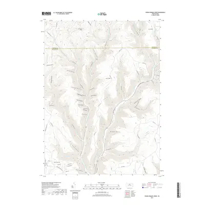 2019 Young Womans Creek2019 Print · USGSPotter and Clinton counties meet along these high ridges and deep hollows during the late twenty-teens. Genealogists and outdoorsmen can trace the rugged drainages of Young Womans Cr or locate family-named landmarks like Summerson Mtn and Lecox Ridge.
 - 2019 Map of Oleona, 2019 Print
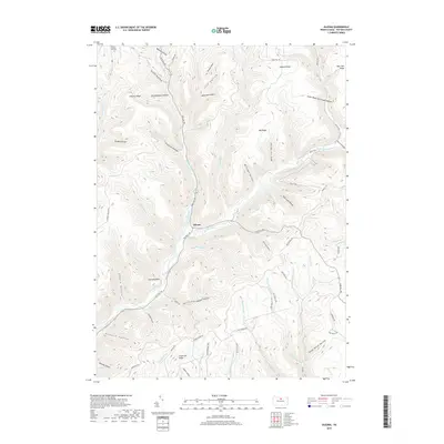 2019 Oleona2019 Print · USGSIn the heart of Potter County during the early 21st century, the narrow valleys of Kettle Creek support a legacy of mountain settlement and transport. Researchers can trace local history through features like Yochum Hill Cem, the namesake Ole Bull Run, and the distinctive Stone Watering Trough Hollow.
 - 2019 Map of Lee Fire Tower, 2019 Print
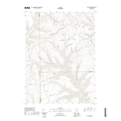 2019 Lee Fire Tower2019 Print · USGSDeep in the North Central Pennsylvania forest during the late twenty-tens, this map shows where Potter, Tioga, and Lycoming counties meet. Trace the legacy of mountain industry and navigation through sites like the Lee Fire Tower, Clay Mine Rd, and the uniquely named Frying Pan Run.
 - 2019 Map of Tamarack, 2019 Print
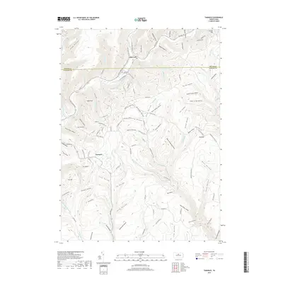 2019 Tamarack2019 Print · USGSThe northern Clinton County highlands are captured here in the late 2010s, showing a landscape defined by deep valleys and high-plateau wetlands. You can trace the historic settlement at Tamarack, the Laurel Hill Cem, and local landmarks like Tamarack Swamp.
 - 2019 Map of Slate Run, 2019 Print
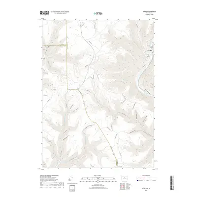 2019 Slate Run2019 Print · USGSThe settlement of Slate Run and the surrounding wilderness of the Pine Creek Gorge are shown here as they appeared in 2019. Local historians can trace cemetery locations like the Slate Run Baptist Cem or follow the paths of historic routes such as the Coudersport Pike and Narrow Gauge Rd.
End of results
Showing maps 1-24 of 24
Top cities near Stewardson Township
- Galeton historical maps
- Sweden Township historical maps
- Gaines Township historical maps
- South Renovo historical maps
- Gallagher Township historical maps
- Leidy Township historical maps
See more
Top neighborhoods of Stewardson Township
Frequently asked questions
- What are the different types of historical maps available for Stewardson Township?
- What is the oldest map of Stewardson Township?
- Where can I purchase historical maps of Stewardson Township for my home or office?
- Where can I download high-res historical maps of Stewardson Township?
- Are there historical topographic maps available for Stewardson Township?
- Is there historical aerial imagery available for Stewardson Township?
- Where are historical maps of Stewardson Township sourced from?