1970s Maps of Somerset County, Pennsylvania
Explore 39 historic maps of Somerset County from the 1970s. These maps offer a rare glimpse into what life looked like during the 1970s — showing old roads, neighborhoods, homes, and landmarks that have changed or disappeared over time.
Whether you're researching your family's past, planning a metal detecting trip, or studying how Somerset County's landscape evolved across the 1970s, these high-resolution maps are a powerful tool for exploring the history of this region.
- Focus on a specific era: All maps on this page are from the 1970s, giving you a focused view of this time period.
- See what’s changed: Compare century-old streets, trails, and buildings to today's modern landscape using overlays and satellite layers.
- Research with precision: Use these maps for genealogy, historical research, land use analysis, or educational projects.
- View, download, or print: Maps are fully viewable online in high resolution, and can be downloaded or printed for your own records.
Start exploring Somerset County's history through authentic maps from the 1970s. This is your window into the past.
Somerset County, PA maps
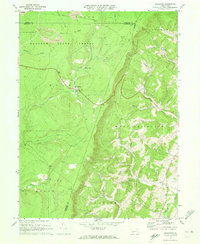
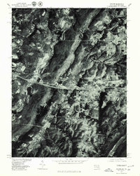
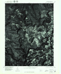
(39)- 1971 Map of Schellsburg, 1972 Print
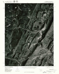
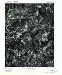
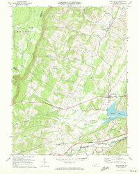 1971 Schellsburg1972 Print · USGSBedford County at the start of the seventies reveals a landscape of protected game lands and emerging state recreation areas. Genealogists and hikers can trace old homesteads near New Paris, remote churches like Pleasant View Ch, and the shoreline of Shawnee Lake.3 unique versions available
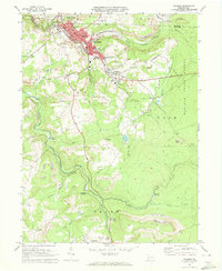
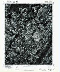
 - 1971 Map of Central City, 1972 Print
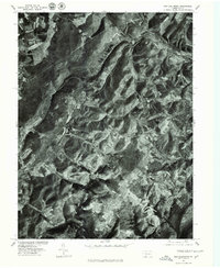
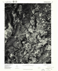
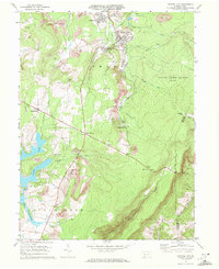 1971 Central City1972 Print · USGSSomerset County coal towns and lakeside developments are captured here in the early seventies. Genealogists and industrial historians can trace the Penn Central rail lines connecting Central City and Cairnbrook to local strip mines and the Township High Sch.2 unique versions available
 - 1971 Map of Hooversville, 1973 Print
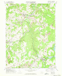
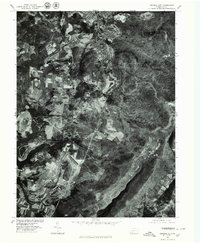
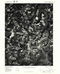
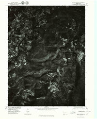
 1971 Hooversville1973 Print · USGSSomerset County in the early seventies shows a landscape shaped by coal and water, from the banks of Stony Creek to the hilltop mines. Genealogists and historians can trace family locations near Hooversville, Thomas Mill, and Kaufman Cem.3 unique versions available
 - 1971 Map of Stoystown, 1973 Print
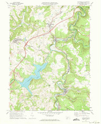
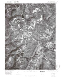
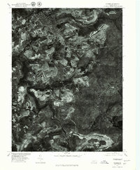
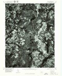
 1971 Stoystown1973 Print · USGSSomerset County's industrial and rural character is caught in transition during the early seventies as coal extraction and residential development expanded. Genealogists can locate family landmarks like Walker Cem and Hayman Ch or trace the Baltimore and Ohio rail line through Shanksville and Stoystown.4 unique versions available
 - 1971 Map of Ogletown, 1973 Print
 1971 Ogletown1973 Print · USGSBedford and Somerset Counties are documented here in the early 1970s, showing a landscape defined by state forestry and mountain ridges. Researchers can locate remote settlements like Ogletown and Ryot, alongside local landmarks such as Calvary Ch and Pine Lake.4 unique versions available
 - 1971 Map of Windber, 1973 Print
 1971 Windber1973 Print · USGSWindber and the surrounding coal country are captured in the early seventies, showing a landscape of active strip mines and tight-knit company towns. Genealogists can locate family landmarks like Maple Grove Sch, Old Shade Furnace, and the community of Cairnbrook.4 unique versions available
 - 1973 Map of Rachelwood, 1984 Print
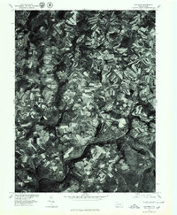
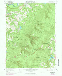 1973 Rachelwood1984 Print · USGSLaurel Hill and its surrounding valleys are captured here in the early seventies, showing a landscape defined by mountain ridges and river forks. Trace local history through the Baldwin Furnace, Legat Cem, and the rural Church in the Wilderness.
 - 1977 Map of Berlin, 1978 Print
 1977 Berlin1978 Print · USGSSomerset County agriculture and industry are captured in high detail in the late seventies. Genealogists and local researchers can trace family lands near Berlin and identify the specific layouts of small settlements like Macdonaldton and Shaft.
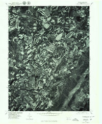
 - 1977 Map of Avilton, 1979 Print
 1977 Avilton1979 Print · USGSGarrett County in the late seventies is captured in this detailed aerial perspective of the ridgelines and rural settlements. Researchers can trace the exact footprint of family farms near Avilton and identify the shoreline of the Frostburg Reservoir.
 - 1977 Map of Boswell, 1979 Print
 1977 Boswell1979 Print · USGSSomerset County's rural and town landscapes are captured in the late seventies through high-resolution aerial imagery. Trace the street grids and field patterns around Boswell and Jennerstown or follow the banks of Quemahoning Creek.
 - 1977 Map of New Baltimore, 1979 Print
 1977 New Baltimore1979 Print · USGSThe Somerset County countryside comes into focus in the late seventies, showing the intricate patchwork of farms and timber along the Raystown Branch Juniata River. Trace the rural layout of New Baltimore, Mt Zion, and the high terrain of Dividing Ridge.
 - 1977 Map of Central City, 1979 Print
 1977 Central City1979 Print · USGSSomerset County's coal towns and developing lakes are seen in this late-seventies aerial survey. Trace industrial land use and neighborhood growth near Central City or explore the shorelines of Indian Lake and Lake Stonycreek.
 - 1977 Map of Accident, 1979 Print
 1977 Accident1979 Print · USGSWestern Maryland's agricultural landscape is seen in detail during the late seventies through this aerial survey of Garrett County. Genealogists and local historians can trace the specific layouts of family farms and homesteads near Accident and the slopes of Rich Hill.
 - 1977 Map of Mill Run, 1979 Print
 1977 Mill Run1979 Print · USGSFayette County's highland landscape is frozen in the late seventies, showing the rural communities and winding river valleys of western Pennsylvania. Genealogists can trace property boundaries and land use around Mill Run, Normalville, and the banks of the Youghiogheny River.
 - 1977 Map of Cumberland, 1979 Print
 1977 Cumberland1979 Print · USGSWestern Maryland settlements follow the narrow valley floors in the late seventies, clustered around the gap at Cumberland. Trace the residential growth and industrial layouts from Ellerslie to the ridges of Little Allegheny Mountain.
 - 1977 Map of Grantsville, 1979 Print
 1977 Grantsville1979 Print · USGSMaryland's high mountain country is captured during the late seventies, showing the rural landscape around the Pennsylvania border. Researchers can trace the riverbank layout of Casselman, the cross-border influence of Springs, and the forested slopes of Meadow Mountain.
 - 1977 Map of Friendsville, 1979 Print
 1977 Friendsville1979 Print · USGSThe tri-state border region of Maryland, Pennsylvania, and West Virginia is seen in the late seventies through this detailed aerial orthophoto. Researchers can trace the rural layouts of Friendsville and Markleysburg alongside the Youghiogheny River Lake.
 - 1977 Map of Windber, 1979 Print
 1977 Windber1979 Print · USGSThe coal-mining landscapes of Somerset County are seen with photographic precision in the late seventies. Researchers can trace the industrial footprints of Windber and Paint or locate smaller company settlements like Cairnbrook and Reitz.
 - 1977 Map of Kingwood, 1979 Print
 1977 Kingwood1979 Print · USGSSomerset County in the late seventies is revealed in this detailed orthophotograph, showing the rural character of the Pennsylvania highlands. Local historians can trace the exact field lines and homesteads near Kingwood, Barronvale, and Scullion.
 - 1977 Map of Meyersdale, 1979 Print
 1977 Meyersdale1979 Print · USGSSomerset County's valley floor and ridge-top farms are seen in sharp detail during the late seventies. Researchers can trace the winding Casselman River through settlements like Meyersdale, Salisbury, and Summit Mills.
 - 1977 Map of Seven Springs, 1979 Print
 1977 Seven Springs1979 Print · USGSThe Seven Springs mountain region in the late seventies is captured in this detailed orthophotoquad, showing the intersection of dense forest and early resort development. Local historians can trace the clearings for Seven Springs and the small-scale settlement patterns near Champion and Maple Grove.
 - 1977 Map of Murdock, 1979 Print
 1977 Murdock1979 Print · USGSSomerset County in the late seventies is captured in this orthophoto study, showcasing the rural landscape and mining activity of the era. Researchers can trace land use patterns around Somerset and the smaller hamlets of Beachdale and Murdock.
 - 1977 Map of Stoystown, 1979 Print
 1977 Stoystown1979 Print · USGSSomerset County agriculture and industry are visible in this late 1970s orthophotograph as the region balanced farming with surface mining. Researchers can trace the development of small communities like Stoystown, Shanksville, and Kimmelton along the banks of Stony Creek.
 - 1977 Map of Somerset, 1979 Print
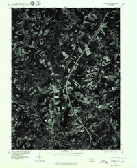 1977 Somerset1979 Print · USGSSomerset and the surrounding Pennsylvania countryside appear in clear aerial detail during the late seventies as major highways began to reshape the region. Genealogists and local historians can trace the footprints of Somerset, Sipe Sville, and Geiger against the backdrop of the modern 219 and 70 76 corridors.
 - 1977 Map of Rockwood, 1979 Print
 1977 Rockwood1979 Print · USGSSomerset County agriculture and riverfront life are captured here in the late seventies as the region maintained its traditional rural character. Trace the development of Rockwood and New Centerville or locate family property near Trent and Chippewa Lake.
Showing maps 1-25 of 39
Top cities of Somerset County
- Somerset historical maps
- Windber historical maps
- Meyersdale historical maps
- Berlin historical maps
- Boswell historical maps
- Central City historical maps
See more
Frequently asked questions
- What are the different types of historical maps available for Somerset County?
- What is the oldest map of Somerset County?
- Where can I purchase historical maps of Somerset County for my home or office?
- Where can I download high-res historical maps of Somerset County?
- Are there historical topographic maps available for Somerset County?
- Is there historical aerial imagery available for Somerset County?
- Where are historical maps of Somerset County sourced from?