2000s (21st Century) Maps of Somerset County, Pennsylvania
Explore 155 historic maps of Somerset County from the 2000s (21st Century). These maps offer a rare glimpse into what life looked like during the 2000s — showing old roads, neighborhoods, homes, and landmarks that have changed or disappeared over time.
Whether you're researching your family's past, planning a metal detecting trip, or studying how Somerset County's landscape evolved across the 2000s, these high-resolution maps are a powerful tool for exploring the history of this region.
- Focus on a specific era: All maps on this page are from the 2000s, giving you a focused view of this time period.
- See what’s changed: Compare century-old streets, trails, and buildings to today's modern landscape using overlays and satellite layers.
- Research with precision: Use these maps for genealogy, historical research, land use analysis, or educational projects.
- View, download, or print: Maps are fully viewable online in high resolution, and can be downloaded or printed for your own records.
Start exploring Somerset County's history through authentic maps from the 2000s. This is your window into the past.
Somerset County, PA maps
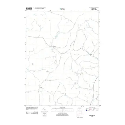
(155)- 2010 Map of Ligonier, 2010 Print
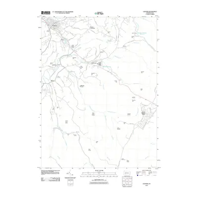 2010 Ligonier2010 Print · USGSCovers Somerset County, including Laurel Mountain Village, Jenner Township, and other nearby areas
 - 2010 Map of Rachelwood, 2010 Print
 2010 Rachelwood2010 Print · USGSCovers Somerset County, including Conemaugh Township, Fairfield Township, and other nearby areas
 - 2010 Map of Boswell, 2010 Print
 2010 Boswell2010 Print · USGSCovers Somerset County, including Boswell, Jennerstown, and other nearby areas
 - 2010 Map of Seven Springs, 2010 Print
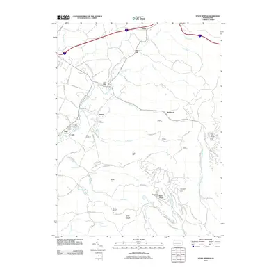 2010 Seven Springs2010 Print · USGSCovers Somerset County, including Seven Springs, Donegal Township, and other nearby areas
 - 2010 Map of Ogletown, 2010 Print
 2010 Ogletown2010 Print · USGSCovers Somerset County, including Napier Township, Shade Township, and other nearby areas
 - 2010 Map of Stoystown, 2010 Print
 2010 Stoystown2010 Print · USGSCovers Somerset County, including Stoystown, Shanksville, and other nearby areas
 - 2010 Map of Windber, 2010 Print
 2010 Windber2010 Print · USGSCovers Somerset County, including Windber, Paint, and other nearby areas
 - 2010 Map of Hooversville, 2010 Print
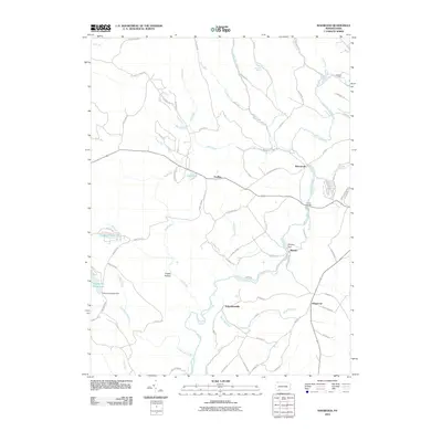
 2010 Hooversville2010 Print · USGSCovers Somerset County, including Hooversville, Benson, and other nearby areas
 - 2010 Map of Johnstown, 2010 Print
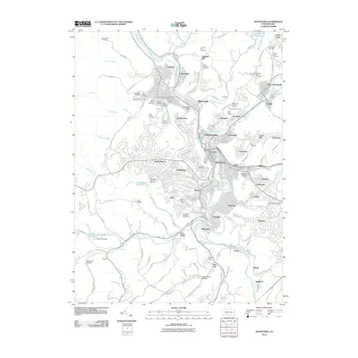 2010 Johnstown2010 Print · USGSCovers Somerset County, including Johnstown, Franklin, and other nearby areas
 - 2010 Map of Schellsburg, 2010 Print
 2010 Schellsburg2010 Print · USGSCovers Somerset County, including Napier Township, Schellsburg, and other nearby areas
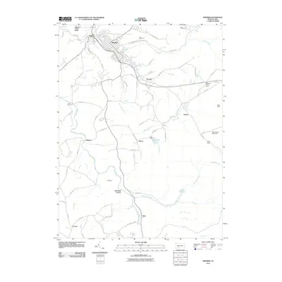
 - 2010 Map of Central City, 2010 Print
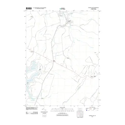 2010 Central City2010 Print · USGSCovers Somerset County, including Central City, Indian Lake, and other nearby areas
 - 2010 Map of Markleton, 2010 Print
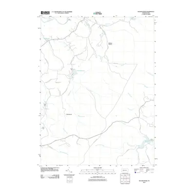
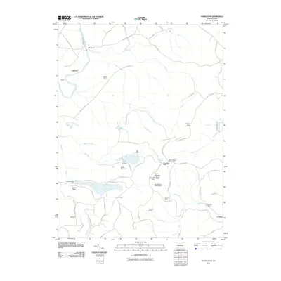 2010 Markleton2010 Print · USGSCovers Somerset County, including Elk Lick Township, Upper Turkeyfoot Township, and other nearby areas
 - 2010 Map of Ohiopyle, 2010 Print
 2010 Ohiopyle2010 Print · USGSCovers Somerset County, including Ohiopyle, Lower Turkeyfoot Township, and other nearby areas
 - 2010 Map of Meyersdale, 2010 Print
 2010 Meyersdale2010 Print · USGSCovers Somerset County, including Meyersdale, Salisbury, and other nearby areas
 - 2010 Map of Kingwood, 2010 Print
 2010 Kingwood2010 Print · USGSCovers Somerset County, including Lower Turkeyfoot Township, Upper Turkeyfoot Township, and other nearby areas
 - 2010 Map of Mill Run, 2010 Print
 2010 Mill Run2010 Print · USGSCovers Somerset County, including Lower Turkeyfoot Township, Dunbar Township, and other nearby areas
 - 2010 Map of New Baltimore, 2010 Print
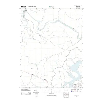
 2010 New Baltimore2010 Print · USGSCovers Somerset County, including Fairhope Township, New Baltimore, and other nearby areas
 - 2010 Map of Fairhope, 2010 Print
 2010 Fairhope2010 Print · USGSCovers Somerset County, including Fairhope Township, Londonderry Township, and other nearby areas
 - 2010 Map of Berlin, 2010 Print
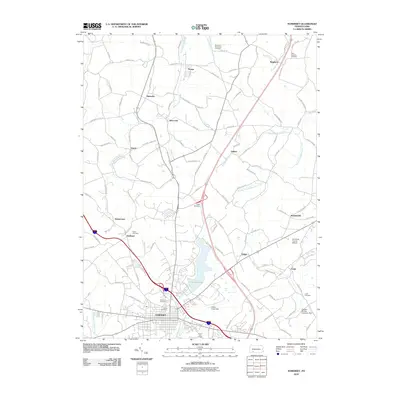
 2010 Berlin2010 Print · USGSCovers Somerset County, including Berlin, Stonycreek Township, and other nearby areas
 - 2010 Map of Rockwood, 2010 Print
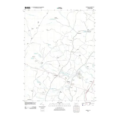
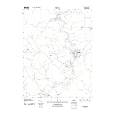
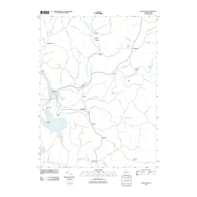
 2010 Rockwood2010 Print · USGSCovers Somerset County, including Rockwood, New Centerville, and other nearby areas
 - 2010 Map of Murdock, 2010 Print
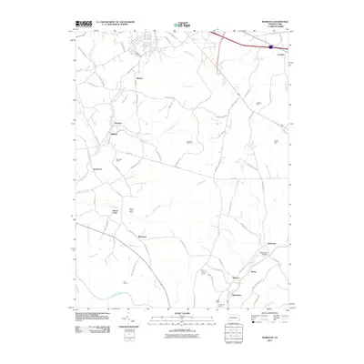 2010 Murdock2010 Print · USGSCovers Somerset County, including Somerset, Milford, and other nearby areas
 - 2010 Map of Confluence, 2010 Print
 2010 Confluence2010 Print · USGSCovers Somerset County, including Confluence, Ursina, and other nearby areas
 - 2010 Map of Somerset, 2010 Print
 2010 Somerset2010 Print · USGSCovers Somerset County, including Somerset, Jenner Township, and other nearby areas
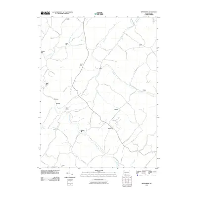
 - 2010 Map of Wittenberg, 2010 Print
 2010 Wittenberg2010 Print · USGSCovers Somerset County, including Callimont, Greenville Township, and other nearby areas
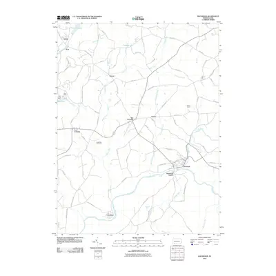
 - 2010 Map of Bakersville, 2010 Print
 2010 Bakersville2010 Print · USGSCovers Somerset County, including Milford Township, Donegal Township, and other nearby areas
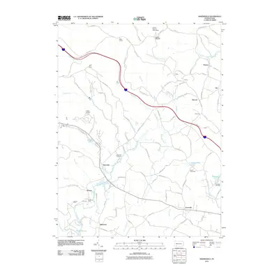
Showing maps 1-25 of 155
Top cities of Somerset County
- Somerset historical maps
- Windber historical maps
- Meyersdale historical maps
- Berlin historical maps
- Boswell historical maps
- Central City historical maps
See more
Frequently asked questions
- What are the different types of historical maps available for Somerset County?
- What is the oldest map of Somerset County?
- Where can I purchase historical maps of Somerset County for my home or office?
- Where can I download high-res historical maps of Somerset County?
- Are there historical topographic maps available for Somerset County?
- Is there historical aerial imagery available for Somerset County?
- Where are historical maps of Somerset County sourced from?