Old Maps of Cold Spring, South Carolina for Genealogy
Trace your family roots with 11 historic maps of Cold Spring. These high-res maps reveal old neighborhoods, homesites, landmarks, and streets — helping you uncover where your ancestors lived and how the area evolved over time.
- Explore historic neighborhoods: Identify where your relatives may have lived in the 1800s or 1900s.
- Compare maps over time: Trace the changes in streets, buildings, and landmarks for multi-generational research.
- Perfect for genealogy & ancestry research: Used by family historians and researchers to map out lineage and migration.
These maps are an incredible resource for exploring your personal connection to Cold Spring's past.
Cold Spring, SC maps
(11)- 1892 Map of Abbeville
 1892 Abbeville1892 Print · USGSSouth Carolina’s Upstate during the late 1800s reveals a landscape defined by critical river crossings and the arrival of the steam era. Genealogists can trace family roots through localized sites like Smith Ferry, Maddox Mill, and the bustling rail hub of Greenwood.6 unique versions available
 - 1948 Map of Abbeville West, 1976 Print
 1948 Abbeville West1976 Print · USGSAbbeville and its western rural surroundings are captured in the late 1940s, showing a landscape of small schools and country churches. Local researchers can locate historic family burial sites at Old Zion Cem and trace the path of the Seaboard Air Line railroad.
 - 1949 Map of Abbeville
 1949 Abbeville1949 Print · USGSAbbeville and its surrounding Piedmont countryside are captured here in the late 1940s, centered on the Seaboard Air Line railway. Genealogists and local historians can trace the locations of numerous rural landmarks, including Old Zion Cem, Upper Long Cane Ch, and Watts.2 unique versions available
 - 1954 Map of Greenville, 1965 Print
 1954 Greenville1965 Print · USGSThe Upstate and Northeast Georgia are captured here during a decade of massive transformation as new reservoirs reshaped the Piedmont. Genealogists and hikers can trace the Appalachian Trail over Brasstown Bald or locate old community centers like Demorest, Westminster, and Royston.3 unique versions available
 - 1958 Map of Greenville
 1958 Greenville1958 Print · USGSThe Piedmont and Blue Ridge foothills come alive in this mid-century survey of the Upstate and Northeast Georgia. Trace the regional rail-and-river economy through the Southern Railway corridors and early reservoir developments like Lake Sidney Lanier.
 - 1979 Map of Abbeville, 1980 Print
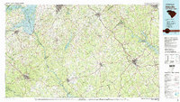 1979 Abbeville1980 Print · USGSThe South Carolina and Georgia borderlands are captured here during a period of significant hydroelectric development and regional growth. Researchers can trace the rail-and-river economy through the Seaboard Coast Line and landmarks like Hartwell Dam or the Silk Mills.2 unique versions available
 - 2011 Map of Abbeville West, 2011 Print
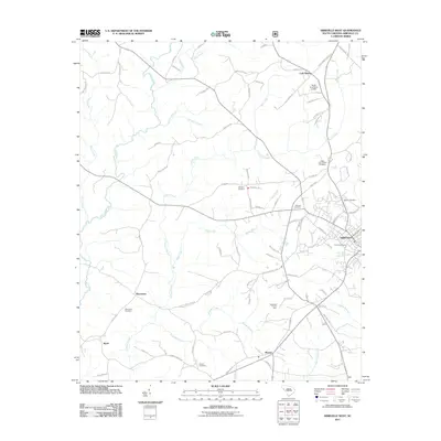 2011 Abbeville West2011 Print · USGSAbbeville and its rural surroundings are captured in the early twenty-first century, showing a landscape of established settlements and quiet country crossroads. Researchers can trace local history through the Abbeville County Farm and numerous burial sites like Old Zion Cemetery and Warrenton Cemetery.
 - 2014 Map of Abbeville West, 2014 Print
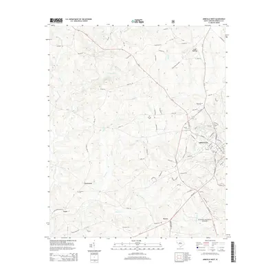 2014 Abbeville West2014 Print · USGSAbbeville and its western rural settlements are captured here in the mid-2010s as the town borders meet the rolling hills of the South Carolina Piedmont. Local historians can trace several burial grounds including Melrose Cem and Trinity Cem or locate the crossroads of Warrenton and Sharon.
 - 2017 Map of Abbeville West, 2017 Print
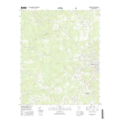 2017 Abbeville West2017 Print · USGSAbbeville and its western rural surroundings are documented here in the early twenty-first century, showing the town's expansion toward the national forest. Researchers can locate numerous historic burial sites such as Upper Long Cane Cem, Hobson Cem, and Sharon Cem.
 - 2020 Map of Abbeville West, 2020 Print
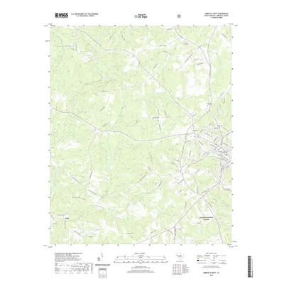 2020 Abbeville West2020 Print · USGSAbbeville and its western rural surroundings are captured here at the start of the 2020s, showing the town's expansion toward the Sumter National Forest. Researchers can locate ancestral sites at Upper Long Cane Cem or Old Zion Cem and trace the paths of Little River and Calhoun Cr.
 - 2024 Map of Abbeville West, 2024 Print
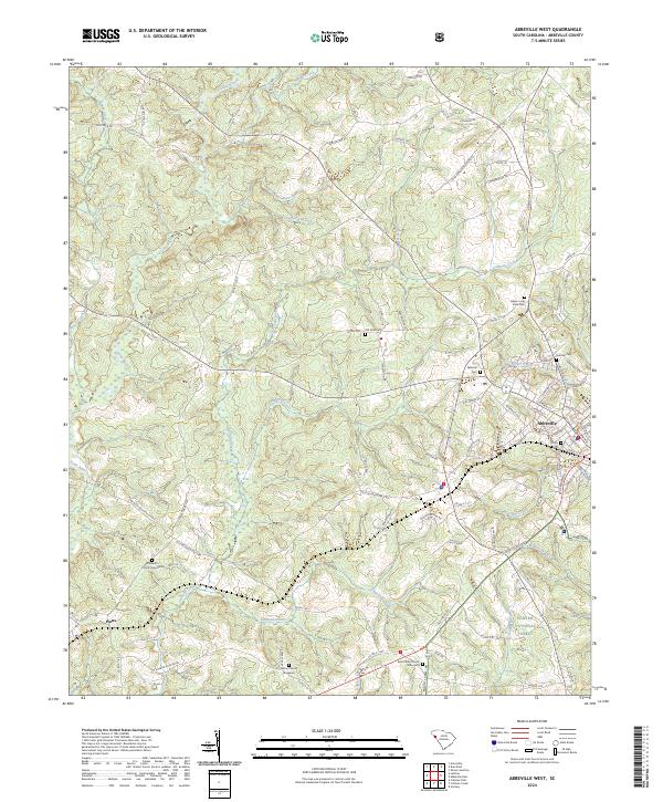 2024 Abbeville West2024 Print · USGSThe outskirts of Abbeville and the settlement of Watts are shown here as they appeared in the early 21st century. Genealogists can trace family connections through numerous burial sites including Upper Long Cane Cem, Saint Peter Church Graveyard, and Old Zion Cem.
End of results
Showing maps 1-11 of 11
Top cities near Cold Spring
- Greenwood historical maps
- Abbeville historical maps
- Honea Path historical maps
- Calhoun Falls historical maps
- Due West historical maps
- Donalds historical maps
See more
Frequently asked questions
- What are the different types of historical maps available for Cold Spring?
- What is the oldest map of Cold Spring?
- Where can I purchase historical maps of Cold Spring for my home or office?
- Where can I download high-res historical maps of Cold Spring?
- Are there historical topographic maps available for Cold Spring?
- Is there historical aerial imagery available for Cold Spring?
- Where are historical maps of Cold Spring sourced from?