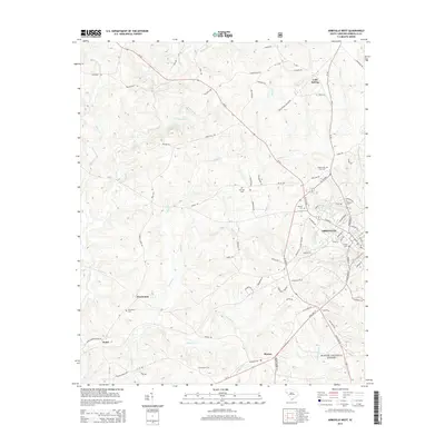
2014 Map of Abbeville West
USGS Topo · Published 2014About this map
The western edges of Abbeville and the surrounding countryside define this landscape in the mid-2010s, where the city's residential streets meet a terrain shaped by the Little River and its numerous tributaries. Genealogy researchers will find several notable burial sites scattered across the rural landscape, including Upper Long Cane Cem and Old Zion Cem. Small settlements like Cold Spring, Warrenton, and Sharon anchor the map’s corners, connected by a network of state roads like SC-20 and SC-28. The southern reaches of the map are defined by the timberlands of the Sumter National Forest, illustrating the balance between historic town centers and the Piedmont's managed wilderness. Waterways such as Calhoun Cr, Redd Cr, and Flagreed Cr cut through the undulating elevations, tracing the natural drainage patterns that have guided local agriculture and property lines for generations.
Find a feature on this map
99 named features on this map. Tap any name to fly to it.
Don’t see what you’re looking for? This feature index may not catch every label — zoom into the map to look around manually.
Map Details
Editions of this 2014 Abbeville West Map
This is the sole edition of this map. No revisions or reprints were ever made.
Other maps of this area

1892 · Abbeville
USGS Topo · 1:125,000

1893 · Elberton
USGS Topo · 1:125,000

1948 · Abbeville East
USGS Topo · 1:24,000

1948 · Verdery
USGS Topo · 1:24,000

1948 · Abbeville West
USGS Topo · 1:24,000

1949 · Abbeville
USGS Topo · 1:24,000

1949 · Calhoun Creek
USGS Topo · 1:24,000

1950 · Verdery
USGS Topo · 1:24,000

1950 · Abbeville East
USGS Topo · 1:24,000

1954 · Greenville
USGS Topo · 1:250,000