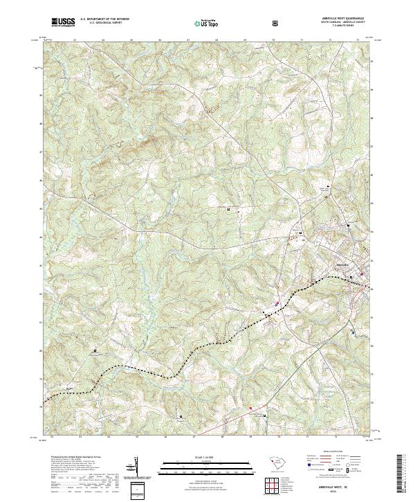
2024 Map of Abbeville West
USGS Topo · Published 2024About this map
Abbeville serves as the focal point for this western section of the county, where the city's residential streets like Cherokee St and Church St give way to the Piedmont's rolling drainage network. The landscape is defined by the winding course of the Little River and its numerous tributaries, including Redd Creek and Cochran Branch. For genealogists and local historians, the area is notably rich in burial sites, ranging from the prominent Upper Long Cane Cem near the city center to more secluded locations such as the Saint Peter Church Graveyard and Warrenton Church Graveyard near Watts. To the south, a portion of the Sumter National Forest preserves the natural character of the terrain, where Hillberry Creek and Flagreed Creek carve through the wooded hills. This layout reflects the transition from the historic textile and rail hub of the city to the scattered rural settlements and church-centered communities that define the Upstate's heritage.
Find a feature on this map
107 named features on this map. Tap any name to fly to it.
Don’t see what you’re looking for? This feature index may not catch every label — zoom into the map to look around manually.
Map Details
Editions of this 2024 Abbeville West Map
This is the sole edition of this map. No revisions or reprints were ever made.
Other maps of this area

1892 · Abbeville
USGS Topo · 1:125,000

1893 · Elberton
USGS Topo · 1:125,000

1948 · Abbeville East
USGS Topo · 1:24,000

1948 · Verdery
USGS Topo · 1:24,000

1948 · Abbeville West
USGS Topo · 1:24,000

1949 · Abbeville
USGS Topo · 1:24,000

1949 · Calhoun Creek
USGS Topo · 1:24,000

1950 · Verdery
USGS Topo · 1:24,000

1950 · Abbeville East
USGS Topo · 1:24,000

1954 · Greenville
USGS Topo · 1:250,000