2020s Maps of Bamberg County, South Carolina
Explore 26 historic maps of Bamberg County from the 2020s. These maps offer a rare glimpse into what life looked like during the 2020s — showing old roads, neighborhoods, homes, and landmarks that have changed or disappeared over time.
Whether you're researching your family's past, planning a metal detecting trip, or studying how Bamberg County's landscape evolved across the 2020s, these high-resolution maps are a powerful tool for exploring the history of this region.
- Focus on a specific era: All maps on this page are from the 2020s, giving you a focused view of this time period.
- See what’s changed: Compare century-old streets, trails, and buildings to today's modern landscape using overlays and satellite layers.
- Research with precision: Use these maps for genealogy, historical research, land use analysis, or educational projects.
- View, download, or print: Maps are fully viewable online in high resolution, and can be downloaded or printed for your own records.
Start exploring Bamberg County's history through authentic maps from the 2020s. This is your window into the past.
Bamberg County, SC maps
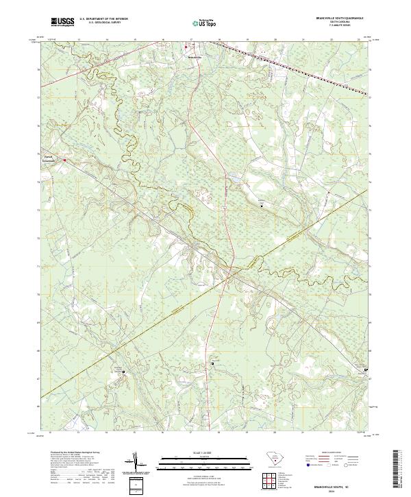
(26)- 2020 Map of Branchville South, 2020 Print
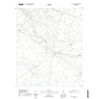 2020 Branchville South2020 Print · USGSCovers Bamberg County, including Branchville, Johnsville, and other nearby areas
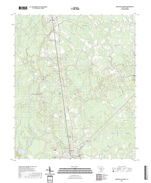
 - 2020 Map of Branchville North, 2020 Print
 2020 Branchville North2020 Print · USGSCovers Bamberg County, including Branchville, Rowesville, and other nearby areas
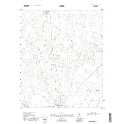
 - 2020 Map of Midway, 2020 Print
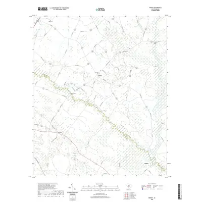 2020 Midway2020 Print · USGSCovers Bamberg County, including Embree, Midway, and other nearby areas
 - 2020 Map of Lodge, 2020 Print
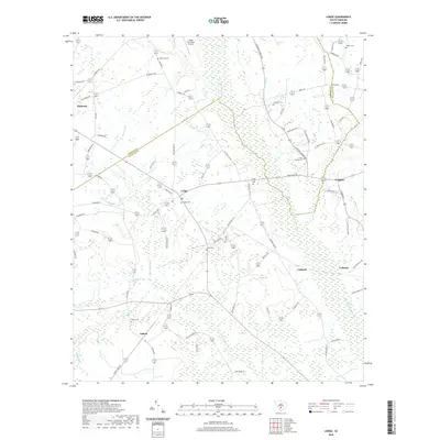 2020 Lodge2020 Print · USGSCovers Bamberg County, including Ehrhardt, Lodge, and other nearby areas
 - 2020 Map of Norway East, 2020 Print
 2020 Norway East2020 Print · USGSCovers Bamberg County, including Norway, Cope, and other nearby areas
 - 2020 Map of Bamberg, 2020 Print
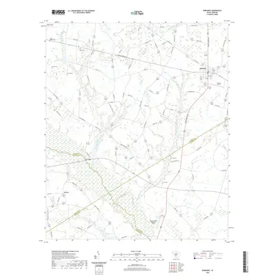
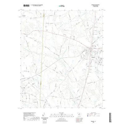
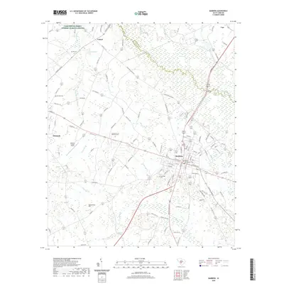 2020 Bamberg2020 Print · USGSCovers Bamberg County, including Bamberg, Denmark, and other nearby areas
 - 2020 Map of Olar, 2020 Print
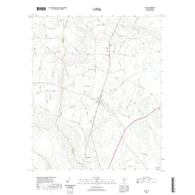 2020 Olar2020 Print · USGSCovers Bamberg County, including Olar, Govan, and other nearby areas
 - 2020 Map of Clear Pond, 2020 Print
 2020 Clear Pond2020 Print · USGSCovers Bamberg County, including Springtown, Clear Pond, and other nearby areas
 - 2020 Map of Ehrhardt, 2020 Print
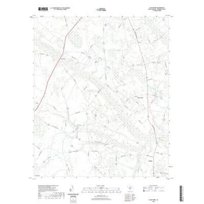
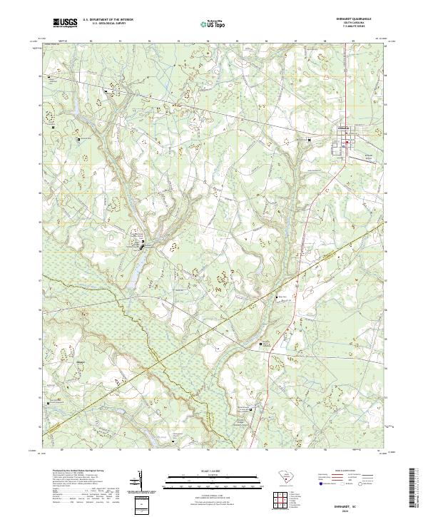
 2020 Ehrhardt2020 Print · USGSCovers Bamberg County, including Ehrhardt, Jennys, and other nearby areas
 - 2020 Map of Norway West, 2020 Print
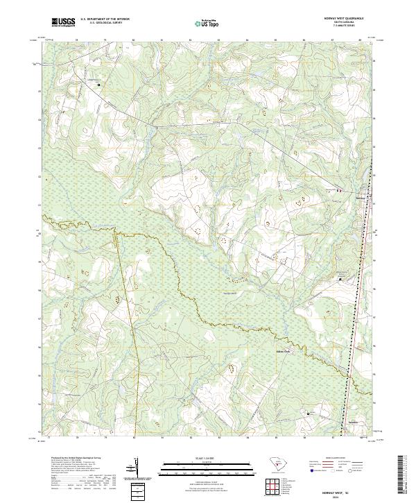
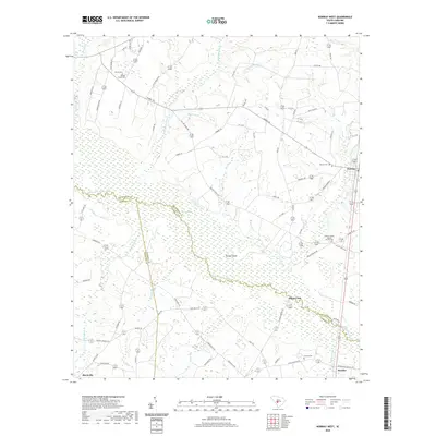 2020 Norway West2020 Print · USGSCovers Bamberg County, including Norway, Sweden, and other nearby areas
 - 2020 Map of Sycamore, 2020 Print
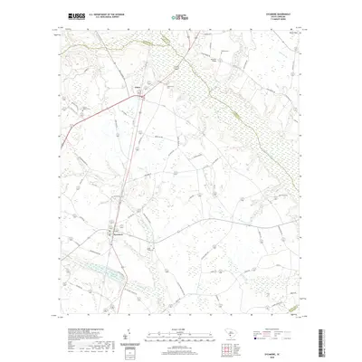 2020 Sycamore2020 Print · USGSCovers Bamberg County, including Sycamore, Ulmer, and other nearby areas
 - 2020 Map of Tony Hill Bay, 2020 Print
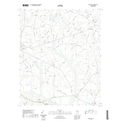
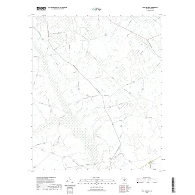 2020 Tony Hill Bay2020 Print · USGSCovers Bamberg County, including Colleton County, United States, and other nearby areas
 - 2020 Map of Denmark, 2020 Print
 2020 Denmark2020 Print · USGSCovers Bamberg County, including Denmark, Blackville, and other nearby areas
 - 2024 Map of Midway, 2024 Print
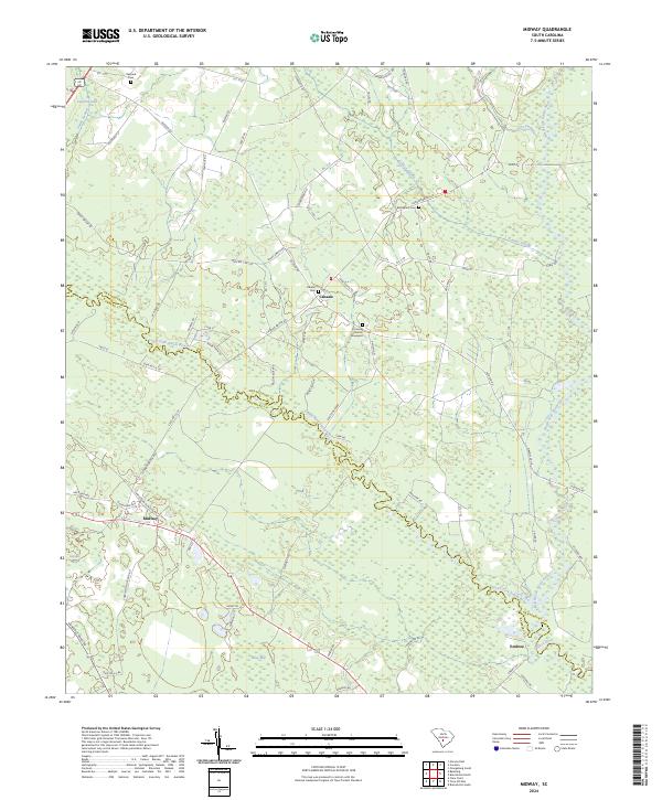 2024 Midway2024 Print · USGSOrangeburg and Bamberg counties meet along the winding South Fork Edisto River in this modern topographic survey. Researchers can locate established rural centers like Midway and Canaan alongside historic burial grounds at Bethlehem Cem and Canaan Cem.
 - 2024 Map of Norway East, 2024 Print
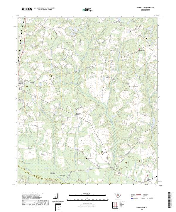 2024 Norway East2024 Print · USGSOrangeburg and Bamberg Counties come alive in this recent survey, showcasing the rural landscape as it appears today. Researchers can trace family roots through numerous burial grounds like Old Pearson Cem or locate community landmarks in Norway, Bolen Town, and Cope.
 - 2024 Map of Olar, 2024 Print
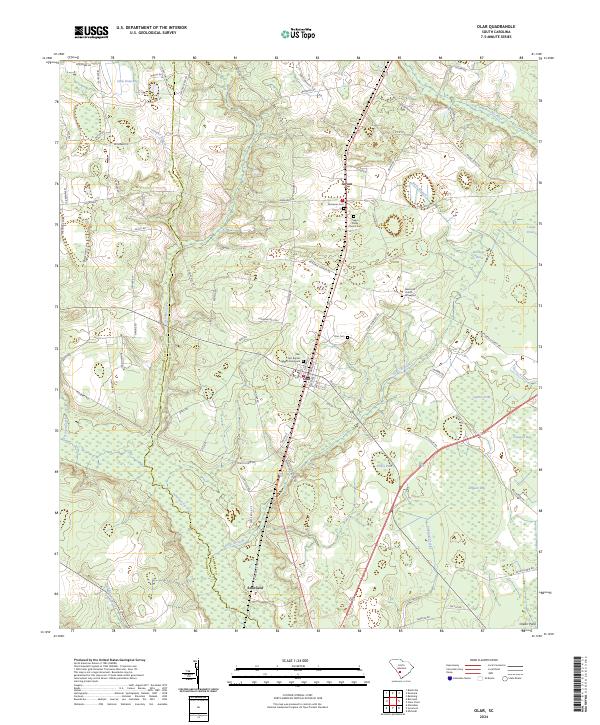 2024 Olar2024 Print · USGSThe rural stretches of Bamberg and Barnwell Counties come into focus here, showing the persisting layout of small towns and wetland basins. Genealogists and historians can trace local roots through Nimmons Cem, Olar, and the Memorial Church Graveyard.
 - 2024 Map of Bamberg, 2024 Print
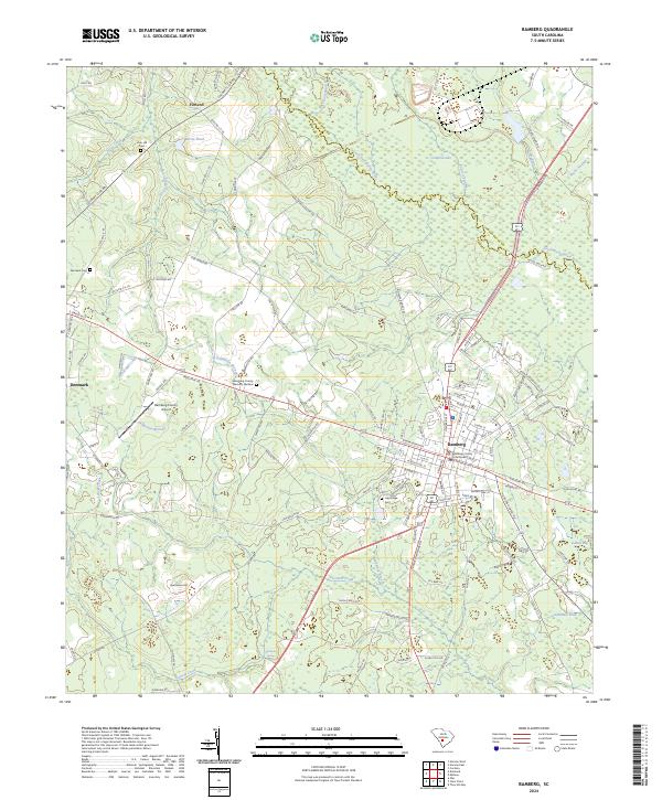 2024 Bamberg2024 Print · USGSThe Lowcountry landscape around Bamberg comes into focus in this contemporary survey of the Coastal Plain. Genealogists and researchers can trace family landmarks like Zion Hill Cem, Glendale Springs, and the Bamberg County Courthouse.
 - 2024 Map of Lodge, 2024 Print
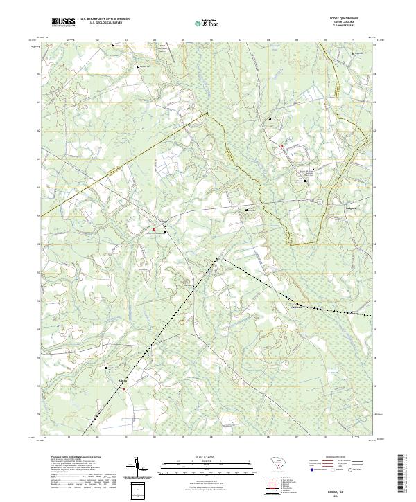 2024 Lodge2024 Print · USGSThe rural landscape of Colleton and Bamberg Counties remains deeply tied to its agricultural roots in this modern survey. Genealogists and historians can locate numerous family burial sites and rural congregations, including Lodge Church Graveyard, Ashton Church, and Hickory Hill United Methodist Church.
 - 2024 Map of Clear Pond, 2024 Print
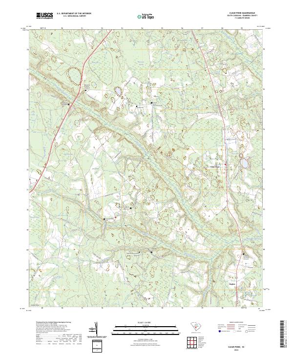 2024 Clear Pond2024 Print · USGSBamberg County in the modern era retains a distinctively rural character defined by its wetlands and old family homesteads. Researchers can trace local heritage through numerous landmarks like the James McMillan Cem, Springtown Church, and Clear Pond.
 - 2024 Map of Tony Hill Bay, 2024 Print
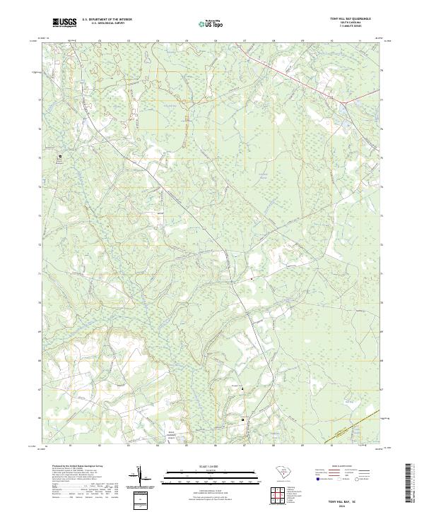 2024 Tony Hill Bay2024 Print · USGSBamberg and Colleton counties are captured in this recent survey, showcasing a landscape defined by the Little Salkehatchie River and its dense wetland basins. Genealogists can locate family landmarks like Bethel Church, Carter Cem, and the Shiloh Plantation Airport.
 - 2024 Map of Branchville South, 2024 Print
 2024 Branchville South2024 Print · USGSThe Lowcountry river plains south of Branchville come to life in this recent survey of the Edisto basin. Genealogists can trace family connections at the Buckhead Church Graveyard, May Cem, or Spell - Risher Cem along the winding Edisto River.
 - 2024 Map of Branchville North, 2024 Print
 2024 Branchville North2024 Print · USGSOrangeburg County comes to life in this contemporary survey, capturing the agricultural and spiritual heart of the coastal plain. Genealogists and historians can locate numerous family sites like Peter Bowman Cem and Zion Church Graveyard near the North Fork Edisto River.
 - 2024 Map of Norway West, 2024 Print
 2024 Norway West2024 Print · USGSThe rural landscape of Orangeburg County is captured in this modern survey, centered on the South Fork Edisto River and the town of Norway. Researchers can locate family landmarks like the Morgan Family Cem, Jericho Cem, and Sweden.
 - 2024 Map of Ehrhardt, 2024 Print
 2024 Ehrhardt2024 Print · USGSThe Ehrhardt area in the 2020s remains a landscape deeply tied to its riverbanks and family lineages. Genealogists can trace local heritage through sites like the Rivers Bridges Confederate Cem, the Breland Family Cem, and the Burial Ground of John and Mary Broxton.
 - 2024 Map of Denmark, 2024 Print
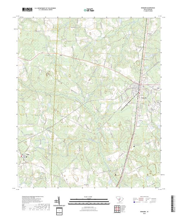 2024 Denmark2024 Print · USGSBamberg and Barnwell counties come into focus in this recent survey of Denmark and its rural surroundings. Researchers can locate family landmarks like the Hilda First Baptist Church Graveyard or trace the grounds of Voorhees College and Denmark Technical College.
Showing maps 1-25 of 26
Top cities of Bamberg County
- Bamberg historical maps
- Denmark historical maps
- Ehrhardt historical maps
- Olar historical maps
- Govan historical maps
Frequently asked questions
- What are the different types of historical maps available for Bamberg County?
- What is the oldest map of Bamberg County?
- Where can I purchase historical maps of Bamberg County for my home or office?
- Where can I download high-res historical maps of Bamberg County?
- Are there historical topographic maps available for Bamberg County?
- Is there historical aerial imagery available for Bamberg County?
- Where are historical maps of Bamberg County sourced from?