2010s Maps of Clarendon County, South Carolina
Explore 66 historic maps of Clarendon County from the 2010s. These maps offer a rare glimpse into what life looked like during the 2010s — showing old roads, neighborhoods, homes, and landmarks that have changed or disappeared over time.
Whether you're researching your family's past, planning a metal detecting trip, or studying how Clarendon County's landscape evolved across the 2010s, these high-resolution maps are a powerful tool for exploring the history of this region.
- Focus on a specific era: All maps on this page are from the 2010s, giving you a focused view of this time period.
- See what’s changed: Compare century-old streets, trails, and buildings to today's modern landscape using overlays and satellite layers.
- Research with precision: Use these maps for genealogy, historical research, land use analysis, or educational projects.
- View, download, or print: Maps are fully viewable online in high resolution, and can be downloaded or printed for your own records.
Start exploring Clarendon County's history through authentic maps from the 2010s. This is your window into the past.
Clarendon County, SC maps
(66)- 2011 Map of Vance, 2011 Print
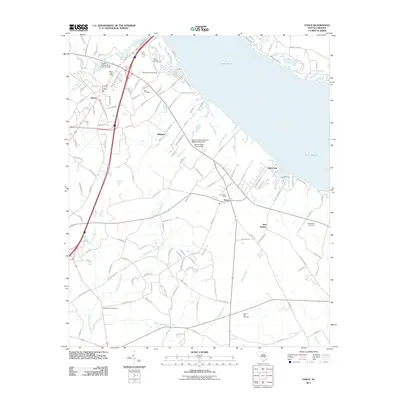 2011 Vance2011 Print · USGSCoastal plain settlements and the sprawling waters of Lake Marion define this region in the early twenty-first century. Researchers can trace the layout of Santee and Vance or locate family history sites at Dantzler-Hart Cemetery and Springfield Cemetery.
 - 2011 Map of Tearcoat Branch, 2011 Print
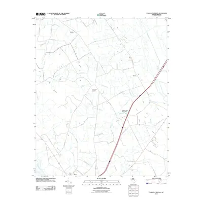 2011 Tearcoat Branch2011 Print · USGSClarendon County near the turn of the decade is captured here, showing the rural communities and water systems that define the area. Researchers can trace family sites near Alcolu, locate Brunsons Cemetery, or follow the path of the Tearcoat Branch.
 - 2011 Map of Lone Star, 2011 Print
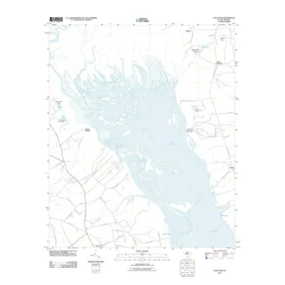 2011 Lone Star2011 Print · USGSThe Santee and Wateree rivers converge here in the early 21st century, forming the sprawling northern reaches of Lake Marion. Trace the water's edge to find local landmarks like Lone Star, Rimini, and the Mac Boykin YMCA Camp.
 - 2011 Map of Brogdon, 2011 Print
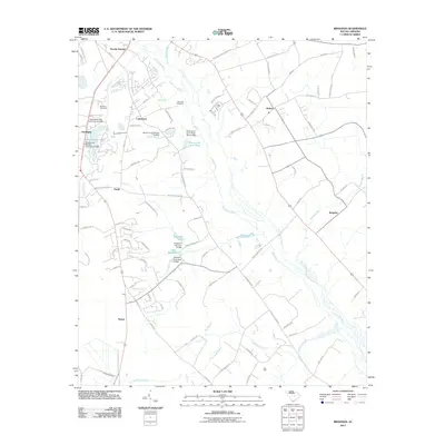 2011 Brogdon2011 Print · USGSSumter County near the Pocotaligo River shows a blend of growing residential pockets and managed wetlands during the early 2000s. Researchers can trace local history through the Bradford Cemetery, family-named water features like Des Champs Pond, and rural crossroads like Brogdon.
 - 2011 Map of Eutawville, 2011 Print
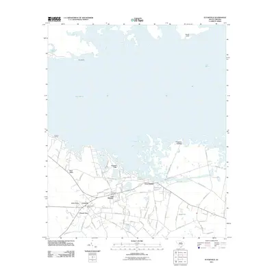 2011 Eutawville2011 Print · USGSOrangeburg County's lakeside communities and historical settlements appear in sharp detail during the early 2000s. Researchers can trace local lineage through Eutawville Cemetery and locate homes within Possum Town or Little Belvidere.
 - 2011 Map of Privateer, 2011 Print
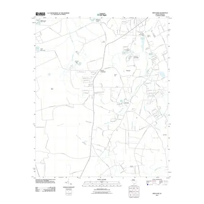 2011 Privateer2011 Print · USGSSumter County at the beginning of the decade shows a rural landscape interwoven with managed wetlands and historical family crossroads. Researchers can trace land use through features like Cains Mill Pond Dam, the Reynolds Cemetery, and the community at Harvins Crossroads.
 - 2011 Map of Eadytown, 2011 Print
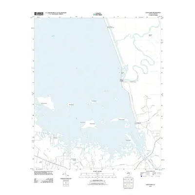 2011 Eadytown2011 Print · USGSThe northern reaches of Berkeley County are shown in this 2011 survey, centered on the complex shoreline of Lake Marion and the Santee Dam. Local historians can trace family roots through sites like Mount Pleasant Plantation Cemetery and the settlement of Eadytown.
 - 2011 Map of Summerton, 2011 Print
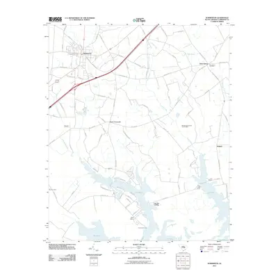 2011 Summerton2011 Print · USGSSummerton and the northern shores of Lake Marion are captured here in the early twenty-first century. Genealogists and local historians can trace family-named sites such as Evergreen Cemetery and Davis Station, or explore the waterfront at Goat Island.
 - 2011 Map of Jordan, 2011 Print
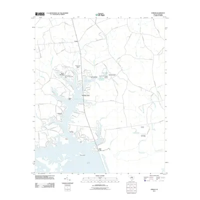 2011 Jordan2011 Print · USGSThe Clarendon County lakefront in the early 2010s reveals a unique blend of established rural settlements and modern lakeside developments. Genealogists and historians can trace local landmarks like Rehoboth Cemetery, the community at Jordan, and the shorelines of White Oak and Wyboo Plantation.
 - 2011 Map of Pineville, 2011 Print
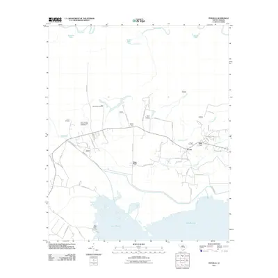 2011 Pineville2011 Print · USGSPineville and the surrounding Berkeley County lowlands appear in the early 21st century between the Santee River and Lake Moultrie. Genealogists can trace a dense network of burial sites like Belle Isle Plantation Cemetery and Richmond Cemetery alongside the historic Santee Canal.
 - 2011 Map of Sardinia, 2011 Print
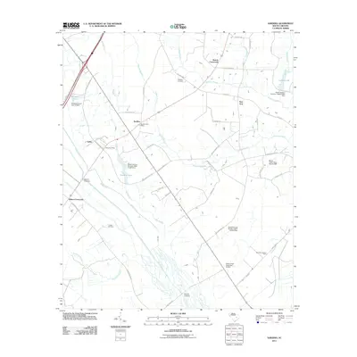 2011 Sardinia2011 Print · USGSSardinia and the rural reaches of Clarendon County are shown here in the early twenty-first century. Researchers can locate family landmarks like Ebenezer Cemetery or trace the early paths of Beards Crossroads and Gilliard Crossing.
 - 2011 Map of Turbeville, 2011 Print
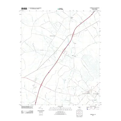 2011 Turbeville2011 Print · USGSClarendon County's low-lying swamp lands and rural settlements are mapped here in the early 2000s as modern interstate routes began to reshape the region. Genealogists and local historians can trace family locations near Shiloh Cemetery, Trinity Cross Roads, and the Turbeville Post Office.
 - 2011 Map of Pinewood, 2011 Print
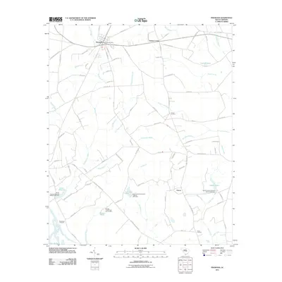 2011 Pinewood2011 Print · USGSThe community of Pinewood and the wetlands above Lake Marion are captured here during the early twenty-first century. Researchers can locate family landmarks such as Richardson Cemetery, Panola, and the Pinewood Post Office.
 - 2011 Map of Manning, 2011 Print
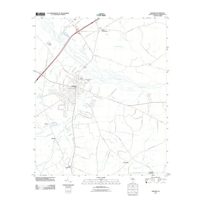 2011 Manning2011 Print · USGSClarendon County crossroads and swampy riverlands are captured here during a period of modern growth. Genealogists and local historians can trace family locations near Manning Cemetery, Trinity Cross Roads, and the rural community of Bloomville.
 - 2011 Map of Elloree, 2011 Print
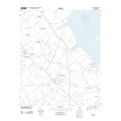 2011 Elloree2011 Print · USGSOrangeburg County in the early twenty-first century shows a landscape defined by the expansive Lake Marion shoreline and the crossroads at Elloree. Researchers can locate family landmarks like Bookhart Cemetery or trace local recreation at the Palmetto Race Track.
 - 2011 Map of Foreston, 2011 Print
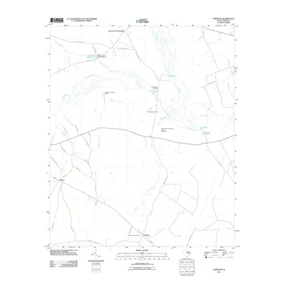 2011 Foreston2011 Print · USGSThe river systems of Clarendon County are shown in great detail here during the early 2000s, centered on the historic crossroads at Foreston. Local researchers can trace family landmarks and sites such as Brewington Cemetery, Camp Harmony, and the Foreston Lookout Tower.
 - 2011 Map of Paxville, 2011 Print
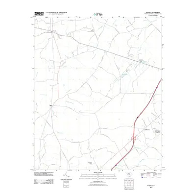 2011 Paxville2011 Print · USGSClarendon County's low-lying swamp and creek networks are meticulously detailed here during the early 2000s. Researchers can trace family-named routes and rural landmarks like the Summerton Lookout Tower, Paxville Post Office, and Edna Ward Pond.
 - 2011 Map of Butlers Bay, 2011 Print
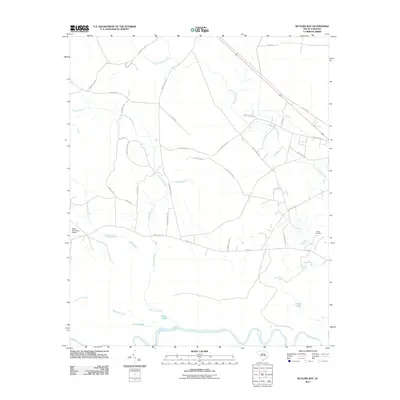 2011 Butlers Bay2011 Print · USGSThe Santee River lowlands meet rural Williamsburg County in this early 21st-century survey of the floodplain and its surrounding farmsteads. Researchers can trace local lineages at Keels Cemetery or explore the drainage of Mount Hope Swamp and the oxbows of Broad Lake.
 - 2011 Map of Saint Paul, 2011 Print
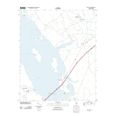 2011 Saint Paul2011 Print · USGSClarendon County shoreline communities are captured here in the early twenty-first century as they border the expansive reservoir. Researchers can trace the waterfront through Adams Landing and Polly Landing or locate the inland junction at Belser Crossroads.
 - 2011 Map of Olanta, 2011 Print
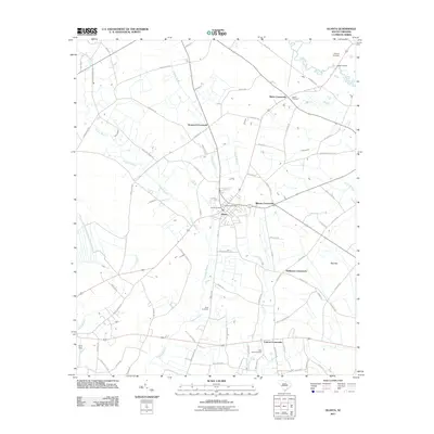 2011 Olanta2011 Print · USGSThe crossroads culture of Florence County is on display in this modern survey of the Olanta area. Genealogists and local historians can trace family locations near Olanta Cemetery, Motts Crossroads, and the unique geological feature of Pats Bay.
 - 2011 Map of Workman, 2011 Print
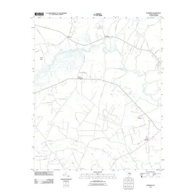 2011 Workman2011 Print · USGSWilliamsburg County's wetlands and crossroads are documented in detail during the early twenty-first century. Genealogists and local historians can trace family-named routes and landmarks near Martins Crossroads, Mount Vernon Cemetery, and the Black River.
 - 2011 Map of Hebron Crossroads, 2011 Print
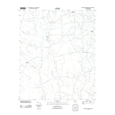 2011 Hebron Crossroads2011 Print · USGSIn the early twenty-first century, this South Carolina landscape was shaped by winding swamp systems and scattered rural junctions. Researchers can trace family history through sites like Saint James Cemetery and community hubs at Hebron Crossroads and Terrell Crossroad.
 - 2014 Map of Privateer, 2014 Print
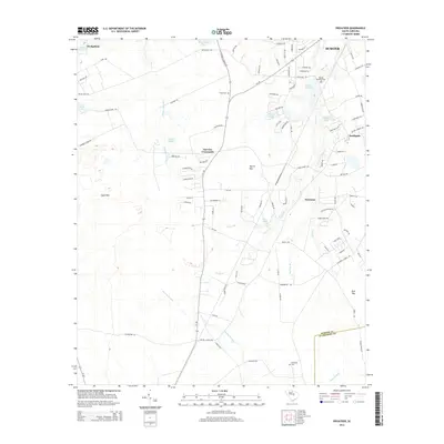 2014 Privateer2014 Print · USGSSumter County at the start of the 2010s reveals a landscape of rural crossroads and sprawling wetlands. Genealogists can locate family sites near Smith Cem, Reynolds Cem, and the historic waters of Cain Millpond or Burnt Gin Lake.
 - 2014 Map of Turbeville, 2014 Print
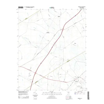 2014 Turbeville2014 Print · USGSCoastal plain settlements and intersecting county lines define the Turbeville area in the early twenty-first century. Researchers can trace local lineage at Asbury Cem or explore the layout of rural crossroads like Trinity Cross Roads and Shiloh.
 - 2014 Map of Paxville, 2014 Print
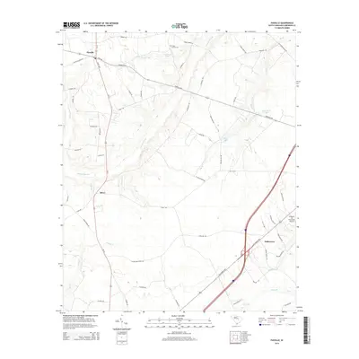 2014 Paxville2014 Print · USGSClarendon County in the early twenty-first century remains a landscape of deep-rooted rural settlements and swampy lowlands. Genealogists and local historians can trace family-named sites such as Home Branch Cem and Edna Ward Pond near the historic hubs of Paxville and Silver.
Showing maps 1-25 of 66
Top cities of Clarendon County
Frequently asked questions
- What are the different types of historical maps available for Clarendon County?
- What is the oldest map of Clarendon County?
- Where can I purchase historical maps of Clarendon County for my home or office?
- Where can I download high-res historical maps of Clarendon County?
- Are there historical topographic maps available for Clarendon County?
- Is there historical aerial imagery available for Clarendon County?
- Where are historical maps of Clarendon County sourced from?