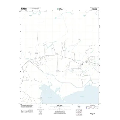
2011 Map of Pineville
USGS Topo · Published 2011About this map
Pineville and the neighboring settlement of Judge Town serve as the primary hubs in this coastal plain landscape of Berkeley County. The terrain is defined by the massive expanse of Lake Moultrie to the south and the winding Santee River along the northern boundary. This map is particularly significant for genealogists, as it preserves the locations of numerous family and historic burial sites, including the Belle Isle Plantation Cemetery, Mahan Plantation Cemetery, and Richmond Cemetery. The local transport network is a mix of state routes and plantation-named drives like Tower Hill Plantation Dr, reflecting the area's deep agrarian roots. Civil engineering features such as the Santee Canal and the South Carolina Noname 14004 D-3508 Dam illustrate the managed hydrology of the region, while the Pineville Lookout Tower stands as a prominent local landmark overlooking the surrounding timberlands and drainages of Crawl Creek.
Find a feature on this map
62 named features on this map. Tap any name to fly to it.
Don’t see what you’re looking for? This feature index may not catch every label — zoom into the map to look around manually.
Map Details
Editions of this 2011 Pineville Map
This is the sole edition of this map. No revisions or reprints were ever made.
Other maps of this area

1920 · Chicora
USGS Topo · 1:48,000

1920 · Manning
USGS Topo · 1:48,000

1921 · Chicora
USGS Topo · 1:62,500

1921 · Manning
USGS Topo · 1:62,500

1943 · Chicora
USGS Topo · 1:62,500

1943 · Bonneau
USGS Topo · 1:62,500

1944 · Manning
USGS Topo · 1:62,500

1946 · Kingstree
USGS Topo · 1:62,500

1949 · Georgetown
USGS Topo · 1:250,000

1954 · Augusta
USGS Topo · 1:250,000