2000s (21st Century) Maps of Florence County, South Carolina
Explore 115 historic maps of Florence County from the 2000s (21st Century). These maps offer a rare glimpse into what life looked like during the 2000s — showing old roads, neighborhoods, homes, and landmarks that have changed or disappeared over time.
Whether you're researching your family's past, planning a metal detecting trip, or studying how Florence County's landscape evolved across the 2000s, these high-resolution maps are a powerful tool for exploring the history of this region.
- Focus on a specific era: All maps on this page are from the 2000s, giving you a focused view of this time period.
- See what’s changed: Compare century-old streets, trails, and buildings to today's modern landscape using overlays and satellite layers.
- Research with precision: Use these maps for genealogy, historical research, land use analysis, or educational projects.
- View, download, or print: Maps are fully viewable online in high resolution, and can be downloaded or printed for your own records.
Start exploring Florence County's history through authentic maps from the 2000s. This is your window into the past.
Florence County, SC maps
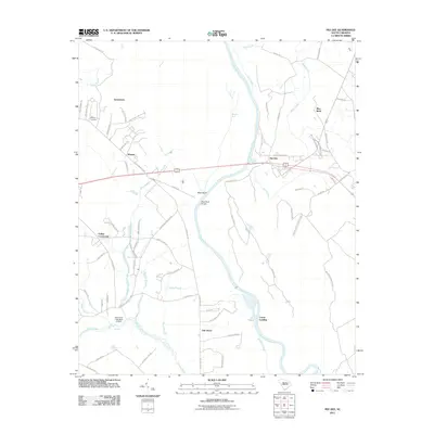
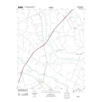
(115)- 2011 Map of Prospect Crossroads, 2011 Print
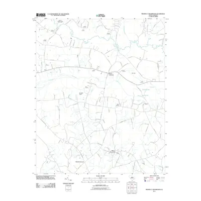 2011 Prospect Crossroads2011 Print · USGSCovers Florence County, including Prospect Crossroads, Midway Crossroads, and other nearby areas
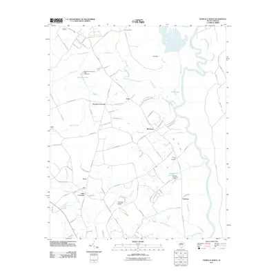
 - 2011 Map of Scranton, 2011 Print
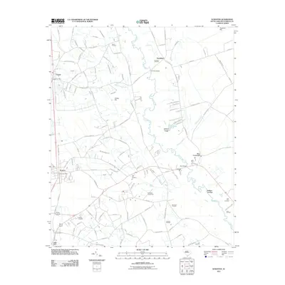 2011 Scranton2011 Print · USGSCovers Florence County, including Lake City, Scranton, and other nearby areas
 - 2011 Map of Snow Island, 2011 Print
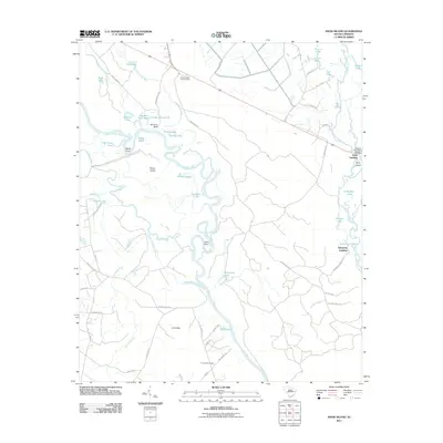 2011 Snow Island2011 Print · USGSCovers Florence County, including Sampson Landing, Horry County, and other nearby areas
 - 2011 Map of Olanta, 2011 Print
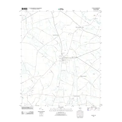 2011 Olanta2011 Print · USGSCovers Florence County, including Olanta, Central Crossroads, and other nearby areas
 - 2011 Map of Gresham, 2011 Print
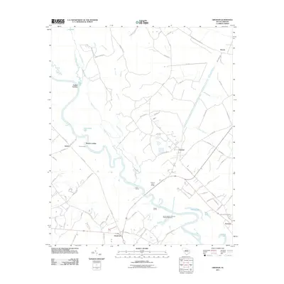 2011 Gresham2011 Print · USGSCovers Florence County, including Kingsburg, Gresham, and other nearby areas
 - 2011 Map of Mill Bay, 2011 Print
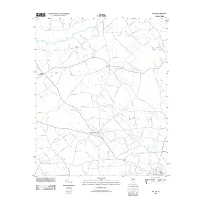 2011 Mill Bay2011 Print · USGSCovers Florence County, including Lake City, Scranton, and other nearby areas
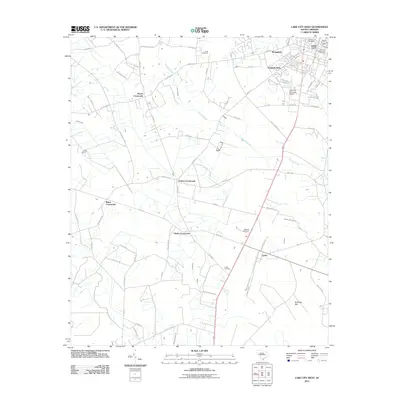
 - 2011 Map of Lake City East, 2011 Print
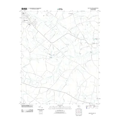 2011 Lake City East2011 Print · USGSCovers Florence County, including Lake City, Wren Village, and other nearby areas
 - 2011 Map of Pamplico South, 2011 Print
 2011 Pamplico South2011 Print · USGSCovers Florence County, including Pamplico, Flemingtown, and other nearby areas
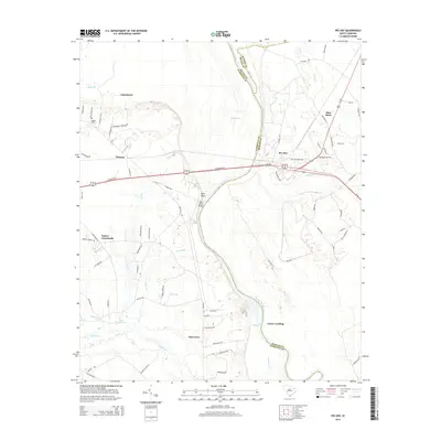
 - 2011 Map of Pee Dee, 2011 Print
 2011 Pee Dee2011 Print · USGSCovers Florence County, including Oak Grove, Carter Landing, and other nearby areas
 - 2011 Map of Oak Grove, 2011 Print
 2011 Oak Grove2011 Print · USGSCovers Florence County, including Oak Grove, Marion County, and other nearby areas
 - 2011 Map of Timmonsville, 2011 Print
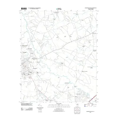
 2011 Timmonsville2011 Print · USGSCovers Florence County, including Florence, Timmonsville, and other nearby areas
 - 2011 Map of Witherspoon Island, 2011 Print
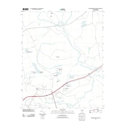 2011 Witherspoon Island2011 Print · USGSCovers Florence County, including Back Swamp, Wachovia Hills, and other nearby areas
 - 2011 Map of Sardis, 2011 Print
 2011 Sardis2011 Print · USGSCovers Florence County, including Timmonsville, Hollman Crossroads, and other nearby areas
 - 2011 Map of Pamplico North, 2011 Print
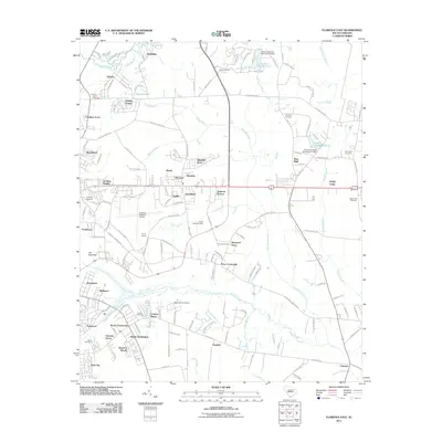
 2011 Pamplico North2011 Print · USGSCovers Florence County, including Pamplico, Kennedy Crossroads, and other nearby areas
 - 2011 Map of Effingham, 2011 Print
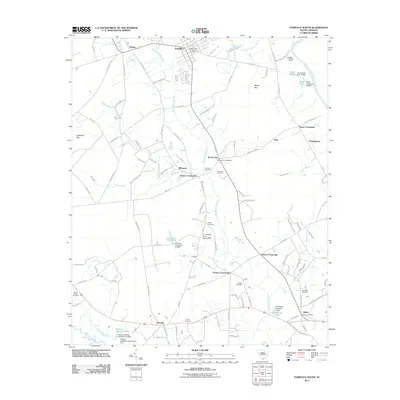
 2011 Effingham2011 Print · USGSCovers Florence County, including Florence, Cusac Crossroads, and other nearby areas
 - 2011 Map of Evergreen, 2011 Print
 2011 Evergreen2011 Print · USGSCovers Florence County, including Gardner Crossroads, Mathis Corner, and other nearby areas
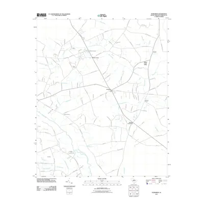
 - 2011 Map of Johnsonville, 2011 Print
 2011 Johnsonville2011 Print · USGSCovers Florence County, including Johnsonville, Hemingway, and other nearby areas
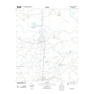
 - 2011 Map of Lake City West, 2011 Print
 2011 Lake City West2011 Print · USGSCovers Florence County, including Lake City, Hogeye Crossroads, and other nearby areas
 - 2011 Map of Lynchburg, 2011 Print
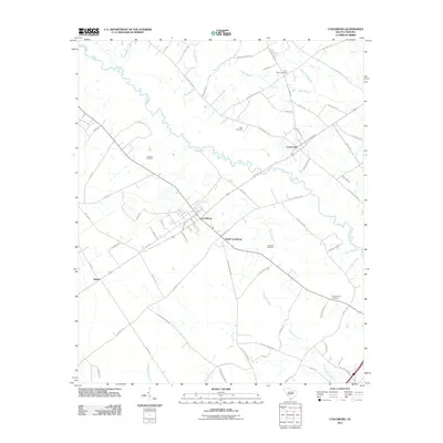 2011 Lynchburg2011 Print · USGSCovers Florence County, including Lynchburg, Cartersville, and other nearby areas
 - 2011 Map of Lamar, 2011 Print
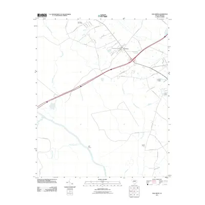
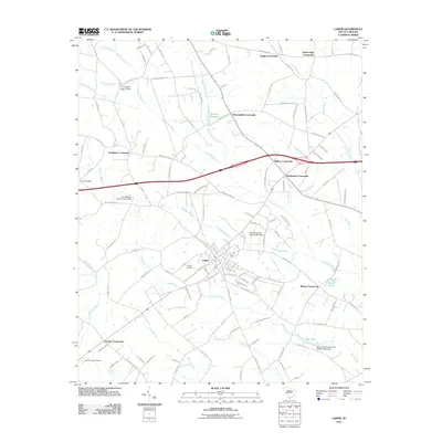 2011 Lamar2011 Print · USGSCovers Florence County, including Lamar, Whites Crossroads, and other nearby areas
 - 2011 Map of Florence East, 2011 Print
 2011 Florence East2011 Print · USGSCovers Florence County, including Florence, Quinby, and other nearby areas
 - 2011 Map of Darlington East, 2011 Print
 2011 Darlington East2011 Print · USGSCovers Florence County, including Liberty Heights, Town and Country Estates, and other nearby areas
 - 2011 Map of Florence West, 2011 Print
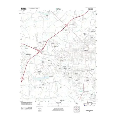 2011 Florence West2011 Print · USGSCovers Florence County, including Florence, Palmetto Shores, and other nearby areas
 - 2014 Map of Pee Dee, 2014 Print
 2014 Pee Dee2014 Print · USGSCovers Florence County, including Oak Grove, Carter Landing, and other nearby areas
 - 2014 Map of Florence West, 2014 Print
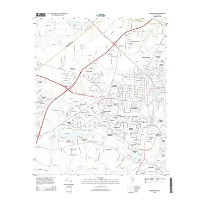 2014 Florence West2014 Print · USGSCovers Florence County, including Florence, Palmetto Shores, and other nearby areas
Showing maps 1-25 of 115
Top cities of Florence County
- Florence historical maps
- Lake City historical maps
- Timmonsville historical maps
- Johnsonville historical maps
- Pamplico historical maps
- Scranton historical maps
See more
Frequently asked questions
- What are the different types of historical maps available for Florence County?
- What is the oldest map of Florence County?
- Where can I purchase historical maps of Florence County for my home or office?
- Where can I download high-res historical maps of Florence County?
- Are there historical topographic maps available for Florence County?
- Is there historical aerial imagery available for Florence County?
- Where are historical maps of Florence County sourced from?