2020s Maps of Florence County, South Carolina
Explore 46 historic maps of Florence County from the 2020s. These maps offer a rare glimpse into what life looked like during the 2020s — showing old roads, neighborhoods, homes, and landmarks that have changed or disappeared over time.
Whether you're researching your family's past, planning a metal detecting trip, or studying how Florence County's landscape evolved across the 2020s, these high-resolution maps are a powerful tool for exploring the history of this region.
- Focus on a specific era: All maps on this page are from the 2020s, giving you a focused view of this time period.
- See what’s changed: Compare century-old streets, trails, and buildings to today's modern landscape using overlays and satellite layers.
- Research with precision: Use these maps for genealogy, historical research, land use analysis, or educational projects.
- View, download, or print: Maps are fully viewable online in high resolution, and can be downloaded or printed for your own records.
Start exploring Florence County's history through authentic maps from the 2020s. This is your window into the past.
Florence County, SC maps
(46)- 2020 Map of Darlington East, 2020 Print
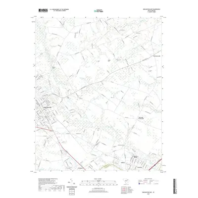 2020 Darlington East2020 Print · USGSDarlington and its rural eastern outskirts are shown here during the late twenty-teens, revealing the interplay between city streets and the wetlands of Black Creek. Researchers can trace local history through family sites like Pugh Cem and established crossings such as Williamsons Bridge.
 - 2020 Map of Lamar, 2020 Print
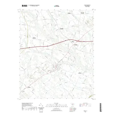 2020 Lamar2020 Print · USGSLamar and its surrounding Darlington County farmlands are captured in this recent survey, showcasing a landscape defined by traditional rural intersections. Researchers can locate numerous family-named junctions like Wilkes Crossroads and Whites Crossroads, or trace the wetlands of Deep Hole Swamp.
 - 2020 Map of Lynchburg, 2020 Print
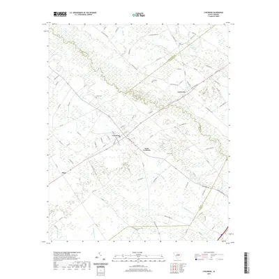 2020 Lynchburg2020 Print · USGSLynchburg and the surrounding rural lowlands appear in great detail at the start of the 2020s. Genealogists and local historians can trace family locations through numerous sites like Sanders Cem, Hawkins Cem, and the old tracks near Cartersville.
 - 2020 Map of Olanta, 2020 Print
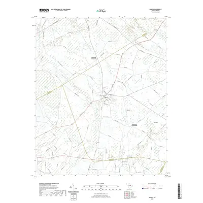 2020 Olanta2020 Print · USGSThis corner of the South Carolina Coastal Plain at the start of the 2020s reveals a landscape defined by traditional Carolina bays and rural crossroads. Researchers can trace family history through sites like Olanta Cem and Rush Cem or explore the wetlands of Woods Bay and Douglas Swamp.
 - 2020 Map of Prospect Crossroads, 2020 Print
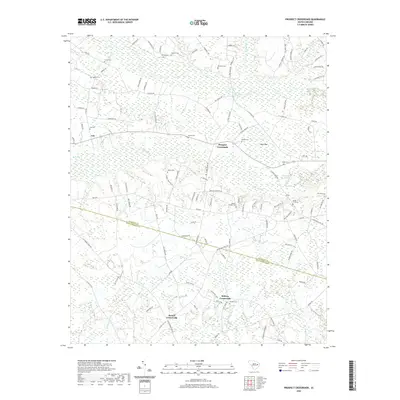 2020 Prospect Crossroads2020 Print · USGSThe rural crossroads of Florence and Williamsburg Counties are captured here in the contemporary era. Researchers can trace family history through numerous family-named burial grounds like Powell Cem and Baxley Cem near Prospect Crossroads.
 - 2020 Map of Johnsonville, 2020 Print
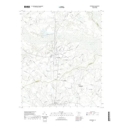 2020 Johnsonville2020 Print · USGSJohnsonville and Hemingway anchor this South Carolina landscape at the meeting of Florence and Williamsburg counties. Researchers can trace family history through numerous rural burial sites like Old Johnsonville Cem, Trinity Cem, and Mill Branch Cem.
 - 2020 Map of Lake City West, 2020 Print
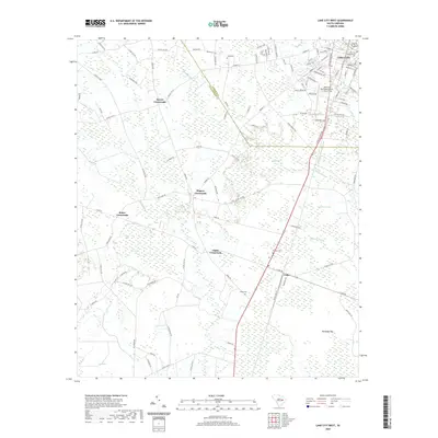 2020 Lake City West2020 Print · USGSThe coastal plain near the Florence and Williamsburg county line appears here in the modern era, showing the transition from the streets of Lake City to the surrounding swamps. Genealogists and historians can trace local landmarks like Hogeye Crossroads, Cades Cem, and Grahams Mill Br.
 - 2020 Map of Pamplico South, 2020 Print
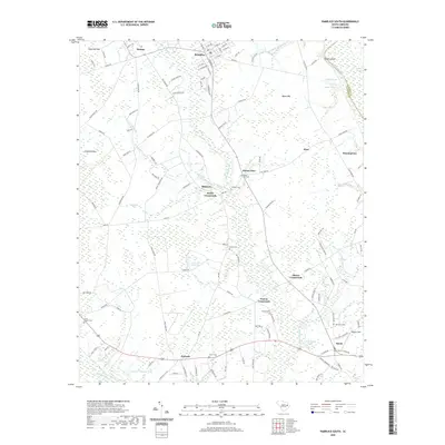 2020 Pamplico South2020 Print · USGSCoastal plain settlements and river boundaries define this Florence County landscape in 2020. Local researchers can trace family landmarks at Mount Zion Cem or locate the rural junctions of Butler Crossroads and Poston Crossroads.
 - 2020 Map of Lake City East, 2020 Print
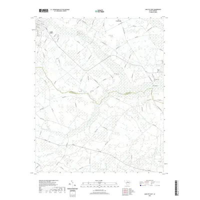 2020 Lake City East2020 Print · USGSThe eastern edges of Lake City and the surrounding rural crossroads appear here in the early twenty-first century. Genealogists can locate several local burial sites including Brown Cem and Cooper Cem, or trace the winding paths of Lake Swamp and McNamee Swamp.
 - 2020 Map of Gresham, 2020 Print
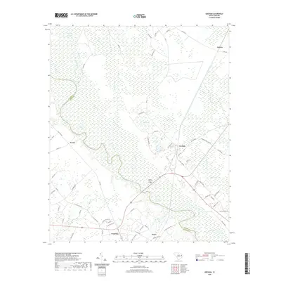 2020 Gresham2020 Print · USGSThe lowlands of Florence and Marion counties come into focus in this modern record of the Pee Dee riverfront. Genealogists and local historians can trace the roads connecting Kingsburg and Gresham, or locate landmarks like the Godfrey Ferry Bridge.
 - 2020 Map of Florence West, 2020 Print
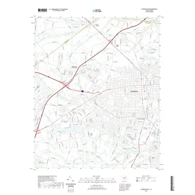 2020 Florence West2020 Print · USGSWestern Florence at the start of the 2020s shows a complex network of modern interstates layered over historic crossing points. Genealogists and local historians can locate prominent memorial sites like Mount Hope Cem or trace the geography of Hoffmeyer Crossroads and Coles Crossing.
 - 2020 Map of Witherspoon Island, 2020 Print
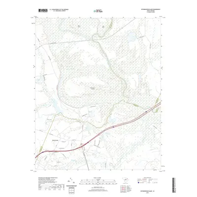 2020 Witherspoon Island2020 Print · USGSThe Pee Dee riverfront at the junction of Florence and Darlington counties is captured here in its modern state. Genealogists and researchers can trace the intricate river lands of Witherspoon Island and Byrds Island, or locate sites near Back Swamp and Wachovia Bluff.
 - 2020 Map of Sardis, 2020 Print
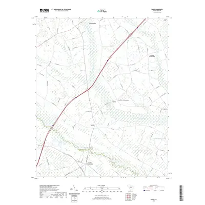 2020 Sardis2020 Print · USGSCoastal plain settlements and the wetlands of the Pee Dee region are documented here in the early twenty-first century. Researchers can trace rural lineages through markers like Sansbury Hill Cem and old hubs including Sardis and Hollman Crossroads.
 - 2020 Map of Pee Dee, 2020 Print
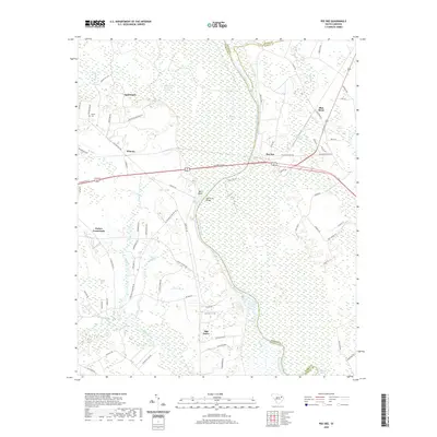 2020 Pee Dee2020 Print · USGSThe Great Pee Dee River corridor comes to life in this modern survey, revealing the enduring settlement patterns of Florence and Marion Counties. Genealogists and local historians can trace family-named sites such as Moody Cem and established communities like Mars Bluff and Oak Grove.
 - 2020 Map of Effingham, 2020 Print
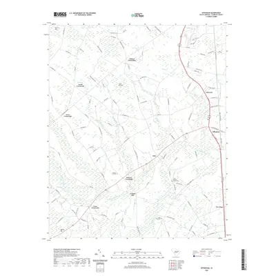 2020 Effingham2020 Print · USGSFlorence County's interior riverlands are captured here in the contemporary era, showing a landscape shaped by the Lynches River and numerous rural junctions. Researchers can trace family roots at Meadow Prong Cem and locate community landmarks like Lynches Mill and Peniel Crossroads.
 - 2020 Map of Florence East, 2020 Print
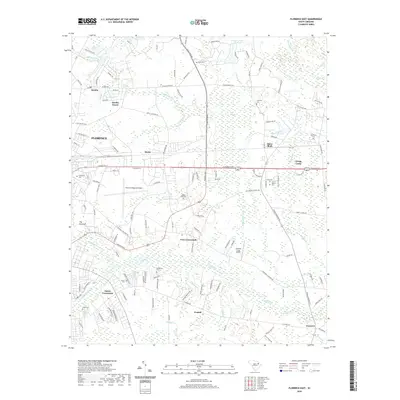 2020 Florence East2020 Print · USGSEastern Florence and the Pee Dee lowlands are mapped here in the early twenty-first century as suburban growth meets traditional rural communities. Genealogists and local historians can locate family landmarks like Hinds Cemetery and Burch Cemetery or trace the development around Mars Bluff and Francis Marion University.
 - 2020 Map of Timmonsville, 2020 Print
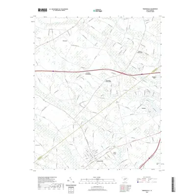 2020 Timmonsville2020 Print · USGSThe rural landscape around Timmonsville is revealed here in the 2020s, showing a region shaped by extensive swamps and historic crossroads. Researchers can locate several family-named landmarks and burial sites, including Muldrow Mill, Garner Cem, and Wilson Crossroads.
 - 2020 Map of Oak Grove, 2020 Print
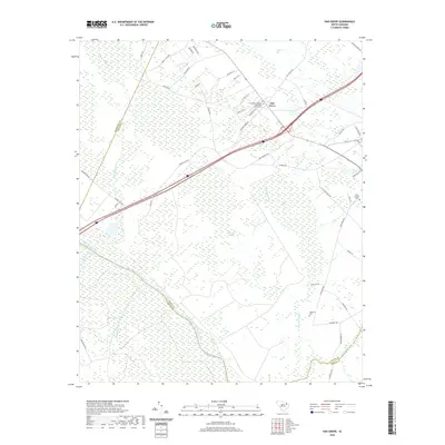 2020 Oak Grove2020 Print · USGSDillon County's river-bottom lands are shown here in the contemporary era, where the Great Pee Dee River meets vast wetlands. Researchers can locate family landmarks like Haselden Cem, Saint George Cem, and the Bethesda Southern Methodist Church.
 - 2020 Map of Evergreen, 2020 Print
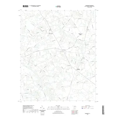 2020 Evergreen2020 Print · USGSFlorence County’s rural interior is documented here in the modern era, showing a landscape defined by the Lynches River and numerous Carolina bays. Researchers can locate several community landmarks including Gardner Crossroads, Mathis Corner, and the Olive Grove Cem.
 - 2020 Map of Pamplico North, 2020 Print
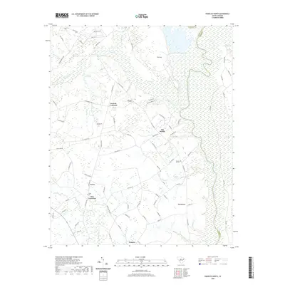 2020 Pamplico North2020 Print · USGSThe rural landscapes of Florence County are documented here as they appeared in 2020, centered on the Pamplico area and the Great Pee Dee River valley. Researchers can trace local history through named junctions like Kennedy Crossroads and quiet settlements such as Orum and Davistown.
 - 2020 Map of Mill Bay, 2020 Print
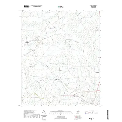 2020 Mill Bay2020 Print · USGSCoastal plain agriculture and Carolina bays define this South Carolina landscape near the turn of the decade. Researchers can trace local roots through LAKE CITY, the Camp Branch Cem, and smaller settlements like Scranton and Byrds Crossroads.
 - 2020 Map of Scranton, 2020 Print
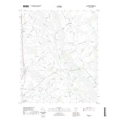 2020 Scranton2020 Print · USGSScranton and Lake City sit at the heart of this South Carolina coastal plain landscape during the early twenty-first century. Genealogists and historians can locate numerous rural burial sites like High Hill Cem and Cockfield Cem or trace the winding Lynches River corridor.
 - 2020 Map of Snow Island, 2020 Print
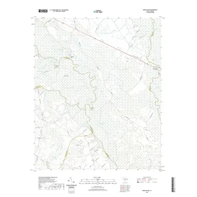 2020 Snow Island2020 Print · USGSThe river-braided lowlands of Marion and Florence counties are captured here in the early twenty-first century. Researchers can trace landforms and old crossings like Potato Bed Ferry Bridge, Snow Island, and the quiet Pine Bluff Cem.
 - 2024 Map of Lake City West, 2024 Print
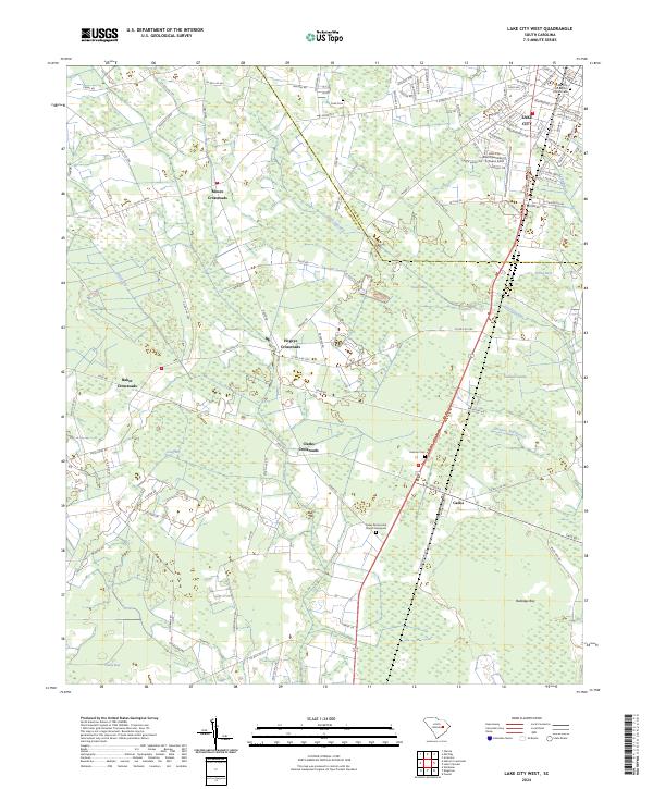 2024 Lake City West2024 Print · USGSThe crossroads and hamlets of the South Carolina coastal plain are captured here in the twenty-first century. Genealogists and local historians can trace the family names and rural communities surrounding LAKE CITY, including Cades, Clarks Crossroads, and the Graham Cemetery.
 - 2024 Map of Johnsonville, 2024 Print
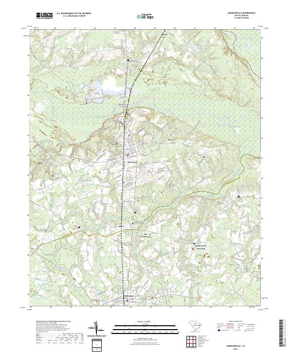 2024 Johnsonville2024 Print · USGSThe Florence and Williamsburg county borderlands are documented here in detail, centered on the river-fed landscape around Johnsonville. Researchers can locate numerous family and community sites, from Duboses Ferry to Old Johnsonville Church Graveyard.
Showing maps 1-25 of 46
Top cities of Florence County
- Florence historical maps
- Lake City historical maps
- Timmonsville historical maps
- Johnsonville historical maps
- Pamplico historical maps
- Scranton historical maps
See more
Frequently asked questions
- What are the different types of historical maps available for Florence County?
- What is the oldest map of Florence County?
- Where can I purchase historical maps of Florence County for my home or office?
- Where can I download high-res historical maps of Florence County?
- Are there historical topographic maps available for Florence County?
- Is there historical aerial imagery available for Florence County?
- Where are historical maps of Florence County sourced from?