2010s Maps of Florence County, South Carolina
Explore 69 historic maps of Florence County from the 2010s. These maps offer a rare glimpse into what life looked like during the 2010s — showing old roads, neighborhoods, homes, and landmarks that have changed or disappeared over time.
Whether you're researching your family's past, planning a metal detecting trip, or studying how Florence County's landscape evolved across the 2010s, these high-resolution maps are a powerful tool for exploring the history of this region.
- Focus on a specific era: All maps on this page are from the 2010s, giving you a focused view of this time period.
- See what’s changed: Compare century-old streets, trails, and buildings to today's modern landscape using overlays and satellite layers.
- Research with precision: Use these maps for genealogy, historical research, land use analysis, or educational projects.
- View, download, or print: Maps are fully viewable online in high resolution, and can be downloaded or printed for your own records.
Start exploring Florence County's history through authentic maps from the 2010s. This is your window into the past.
Florence County, SC maps
(69)- 2011 Map of Prospect Crossroads, 2011 Print
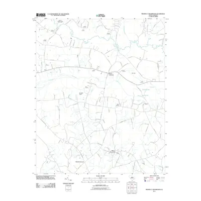 2011 Prospect Crossroads2011 Print · USGSCoastal plain settlements and family burial grounds characterize this South Carolina landscape in the early twenty-first century. Genealogists can trace family heritage at the Gaskins Cemetery, Eaddy Cemetery, and Midway Cemetery near Prospect Crossroads.
 - 2011 Map of Scranton, 2011 Print
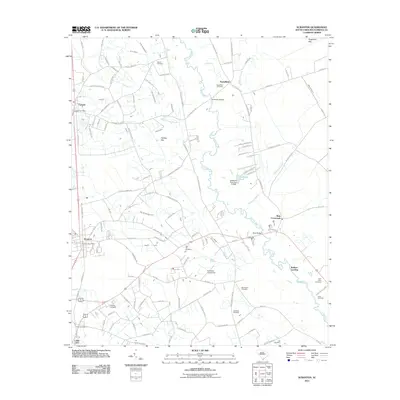 2011 Scranton2011 Print · USGSCoastal plain settlements and family cemeteries line the banks of the Lynches River in the early twenty-first century. Genealogists can trace local heritage through sites like Old Liberty Cemetery and Godwin Cemetery, or locate landmarks such as the Cockfield Aerodrome.
 - 2011 Map of Snow Island, 2011 Print
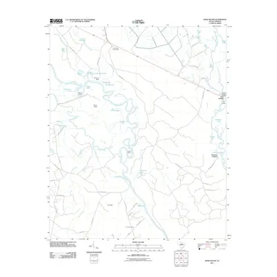 2011 Snow Island2011 Print · USGSMarion County's river-rich landscape is captured in the early 21st century, focusing on the convergence of the Great and Little Pee Dee Rivers. Trace local heritage at Pine Bluff Cemetery, the Brittons Neck Lookout Tower, and crossings like Potatoe Bed Ferry Bridge.
 - 2011 Map of Olanta, 2011 Print
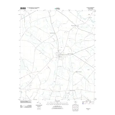 2011 Olanta2011 Print · USGSThe crossroads culture of Florence County is on display in this modern survey of the Olanta area. Genealogists and local historians can trace family locations near Olanta Cemetery, Motts Crossroads, and the unique geological feature of Pats Bay.
 - 2011 Map of Gresham, 2011 Print
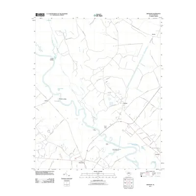 2011 Gresham2011 Print · USGSThe Great Pee Dee River corridor comes alive in this contemporary survey, showing the traditional riverside landings and swampy lowlands of Florence County. Genealogists and historians can trace family-named routes and old crossings like Godfrey Ferry Bridge, Kingsburg, and Catfish Landing.
 - 2011 Map of Mill Bay, 2011 Print
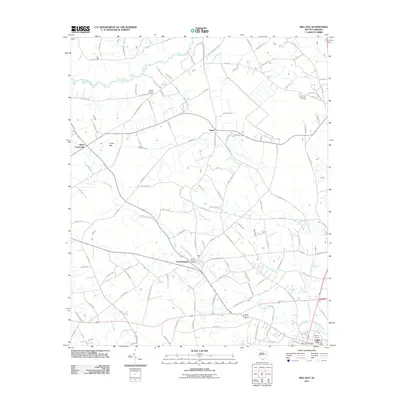 2011 Mill Bay2011 Print · USGSCoastal plain settlements and wetlands dominate this Florence County landscape in the early 2010s. Researchers can locate the Camp Branch Cemetery, follow the banks of the Lynches River, or trace development near Lake City and Kelley Corners.
 - 2011 Map of Lake City East, 2011 Print
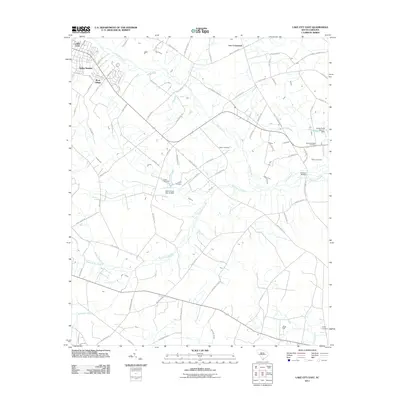 2011 Lake City East2011 Print · USGSCoastal plain settlements and expansive wetlands define this corner of South Carolina just after the turn of the millennium. Researchers can locate family landmarks and burial sites like Browns Chapel Cemetery, Lee Crossroads, and Wren Village among the reaches of Lake Swamp.
 - 2011 Map of Pamplico South, 2011 Print
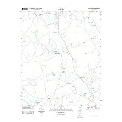 2011 Pamplico South2011 Print · USGSCoastal plain settlements and riverine wetlands south of Pamplico are documented here during the early twenty-first century. Researchers can trace family history through numerous rural landmarks like Stone Chapel Cemetery, Poston Crossroads, and J H Holliday Pond.
 - 2011 Map of Pee Dee, 2011 Print
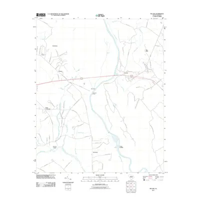 2011 Pee Dee2011 Print · USGSCoastal plain communities and riverine wetlands define this South Carolina landscape in the early twenty-first century. Researchers can trace local lineage near Moody Cemetery or locate the historic crossings of Mars Bluff Bridge and Carter Landing along the river.
 - 2011 Map of Oak Grove, 2011 Print
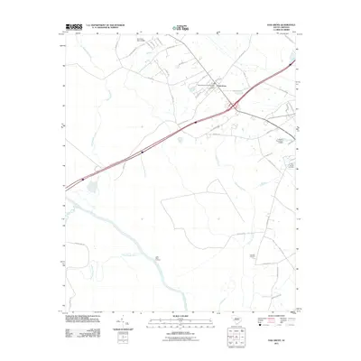 2011 Oak Grove2011 Print · USGSThe riverfront and wetlands of Dillon County are documented here in the early twenty-first century. Family historians can trace local roots through Bethesda Southern Methodist Cemetery, Haselden Cemetery, and the river access at Little Bluff Landing.
 - 2011 Map of Timmonsville, 2011 Print
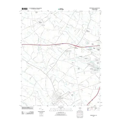 2011 Timmonsville2011 Print · USGSTimmonsville and the surrounding Florence County lowlands are captured here in the early twenty-first century. Genealogists and local historians can trace family roots through Byrd Cemetery, locate the historic Muldrow Mill, or explore established communities like Syracuse and Whitehall.
 - 2011 Map of Witherspoon Island, 2011 Print
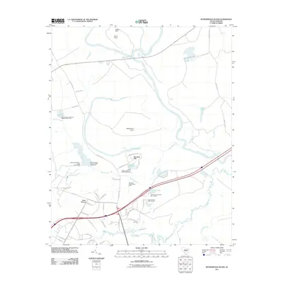 2011 Witherspoon Island2011 Print · USGSThe Pee Dee River basin in the early 2010s reveals a landscape where ancient oxbows meet modern interstate transit. Genealogists and historians can trace family-named features like Witherspoon Island, Wachovia Hills, and Lowthers Lake.
 - 2011 Map of Sardis, 2011 Print
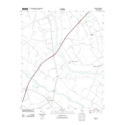 2011 Sardis2011 Print · USGSIn the early twenty-first century, this corner of Florence County remains defined by its swampy lowlands and historic rural junctions. Researchers can trace family roots through sites like Sansbury Hill Cemetery or locate the old crossroads at Sardis and Hobbs Crossroads.
 - 2011 Map of Pamplico North, 2011 Print
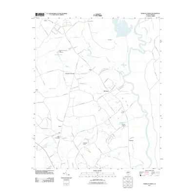 2011 Pamplico North2011 Print · USGSIn the Pee Dee River basin at the start of the decade, this map shows a landscape of rural crossroads and historical mill sites. Genealogists and local historians can trace family roots through Claussen Cemetery or locate old community hubs like Gibbs Crossroads and Browns Old Mill.
 - 2011 Map of Effingham, 2011 Print
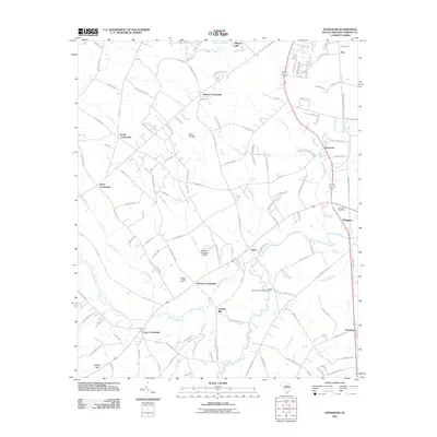 2011 Effingham2011 Print · USGSFlorence County at the start of the decade reveals a network of rural hubs and river-bottom landscapes. Genealogists and local historians can trace family locations near Lynches Mill, Meadow Prong Cemetery, and the community of Effingham.
 - 2011 Map of Evergreen, 2011 Print
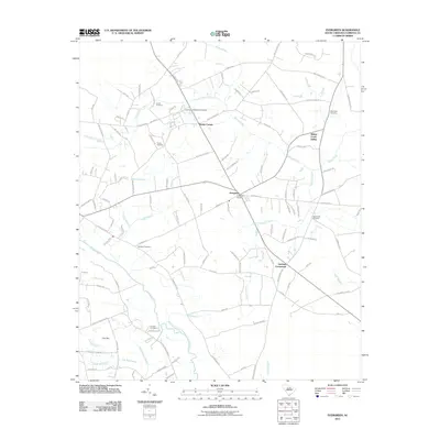 2011 Evergreen2011 Print · USGSFlorence County at the start of the 2010s reveals a landscape of deep-rooted family history along the Lynches River. Genealogists can trace numerous burial sites like Evergreen Cemetery and Saint Paul Cemetery near Mathis Corner.
 - 2011 Map of Johnsonville, 2011 Print
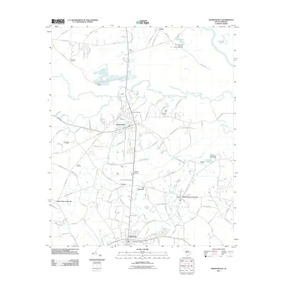 2011 Johnsonville2011 Print · USGSThe rural Lowcountry of Florence County appears in detail during the early 2010s as a network of river-bound communities and crossroads. Genealogists can trace family landmarks and burial sites like Trinity Cemetery and Owens Cemetery between the Lynches River and Hemingway.
 - 2011 Map of Lake City West, 2011 Print
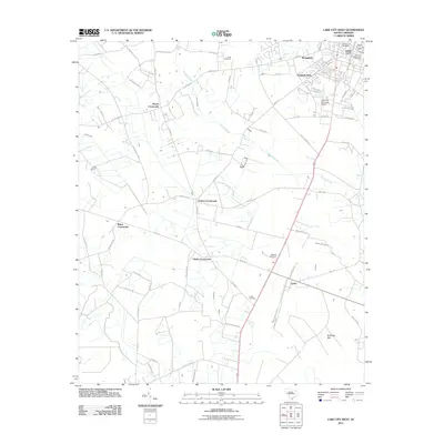 2011 Lake City West2011 Print · USGSLake City and the rural crossroads of Florence County are documented here in the early twenty-first century. Researchers can trace family history through sites like Cook Cemetery and the settlement at Cades, or locate the specific reaches of Smith Swamp.
 - 2011 Map of Lynchburg, 2011 Print
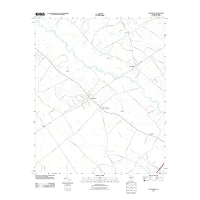 2011 Lynchburg2011 Print · USGSLee County's rural heartland is preserved here in the early twenty-first century, showing the established communities of Lynchburg and Cartersville. Genealogists can trace family connections through numerous burial sites like Sanders Cemetery and Hawkins Cemetery set among the bends of Lynches River.
 - 2011 Map of Lamar, 2011 Print
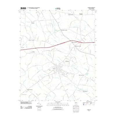 2011 Lamar2011 Print · USGSDarlington County's rural crossroads and lowcountry swamps are captured here in the early twenty-first century. Researchers can trace family-named landmarks and legacy sites like Parnell Cemetery, Andrews Millpond, and Wilkes Crossroads.
 - 2011 Map of Florence East, 2011 Print
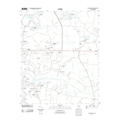 2011 Florence East2011 Print · USGSFlorence and its eastern suburbs are shown here in the early twenty-first century as the city expanded toward the Great Pee Dee. Researchers can locate family burial grounds like Grimsley Cemetery and landmarks such as the Mars Bluff Firetower or the Quinby Post Office.
 - 2011 Map of Darlington East, 2011 Print
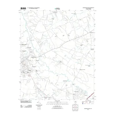 2011 Darlington East2011 Print · USGSDarlington County at the start of the 2010s shows a landscape where suburban expansion meets long-standing rural crossroads. Family historians can trace ancestral sites at Pugh or Bacot and locate community hubs like Mechanicsville and Howards Crossroads.
 - 2011 Map of Florence West, 2011 Print
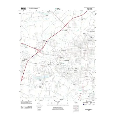 2011 Florence West2011 Print · USGSFlorence County at the start of the 2010s shows a landscape of suburban growth and established local landmarks. Genealogists and historians can trace family sites near Ebenezer, Mount Hope Cemetery, and the old Hoffmeyer Crossroads.
 - 2014 Map of Pee Dee, 2014 Print
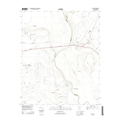 2014 Pee Dee2014 Print · USGSThe riverfront and rural settlements of the Pee Dee region are shown here as they appeared in the early 2010s. Researchers can locate family landmarks like Jamestown Cemetery or trace the geography of Carter Landing and Mars Bluff.
 - 2014 Map of Florence West, 2014 Print
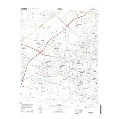 2014 Florence West2014 Print · USGSThe western outskirts of Florence are captured here during a period of rapid suburban expansion in the early 2010s. Researchers can trace the development of dozens of neighborhoods alongside historical landmarks like Muldrows Mill, Ebenezer, and the Florence National Cemetery.
Showing maps 1-25 of 69
Top cities of Florence County
- Florence historical maps
- Lake City historical maps
- Timmonsville historical maps
- Johnsonville historical maps
- Pamplico historical maps
- Scranton historical maps
See more
Frequently asked questions
- What are the different types of historical maps available for Florence County?
- What is the oldest map of Florence County?
- Where can I purchase historical maps of Florence County for my home or office?
- Where can I download high-res historical maps of Florence County?
- Are there historical topographic maps available for Florence County?
- Is there historical aerial imagery available for Florence County?
- Where are historical maps of Florence County sourced from?