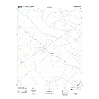
2011 Map of Lynchburg
USGS Topo · Published 2011About this map
Lynchburg and South Lynchburg anchor this section of Lee County, where the landscape is defined by the meandering Lynches River and an extensive network of wetlands. The area’s agrarian character is evident in the numerous small family and community burial sites, including Sanders Cemetery, Field Cemetery, and Saint Pauls Cemetery, which are scattered among the fields and woodlots. Settlement patterns follow the higher ground between drainage basins like Douglas Swamp, Pudding Swamp, and Back Swamp. Beyond the main town center, smaller locales such as Atkins and Cartersville provide further points of reference for local historians. The detailed road network, including names like Shiloh Raccoon Rd and Old Crossing Rd, reflects generations of travel through this coastal plain terrain before modern development altered the rural footprint.
Find a feature on this map
69 named features on this map. Tap any name to fly to it.
Don’t see what you’re looking for? This feature index may not catch every label — zoom into the map to look around manually.
Map Details
Editions of this 2011 Lynchburg Map
This is the sole edition of this map. No revisions or reprints were ever made.
Other maps of this area

1920 · Mayesville
USGS Topo · 1:48,000

1921 · Mayesville
USGS Topo · 1:62,500

1940 · Florence West
USGS Topo · 1:62,500

1941 · Spartanburg
USGS Topo · 1:250,000

1943 · Mayesville
USGS Topo · 1:62,500

1945 · Florence West
USGS Topo · 1:62,500

1946 · Lake City
USGS Topo · 1:62,500

1949 · Georgetown
USGS Topo · 1:250,000

1953 · Florence
USGS Topo · 1:250,000

1953 · Spartanburg
USGS Topo · 1:250,000