2020s Maps of Greenwood County, South Carolina
Explore 36 historic maps of Greenwood County from the 2020s. These maps offer a rare glimpse into what life looked like during the 2020s — showing old roads, neighborhoods, homes, and landmarks that have changed or disappeared over time.
Whether you're researching your family's past, planning a metal detecting trip, or studying how Greenwood County's landscape evolved across the 2020s, these high-resolution maps are a powerful tool for exploring the history of this region.
- Focus on a specific era: All maps on this page are from the 2020s, giving you a focused view of this time period.
- See what’s changed: Compare century-old streets, trails, and buildings to today's modern landscape using overlays and satellite layers.
- Research with precision: Use these maps for genealogy, historical research, land use analysis, or educational projects.
- View, download, or print: Maps are fully viewable online in high resolution, and can be downloaded or printed for your own records.
Start exploring Greenwood County's history through authentic maps from the 2020s. This is your window into the past.
Greenwood County, SC maps
(36)- 2020 Map of Owdoms, 2020 Print
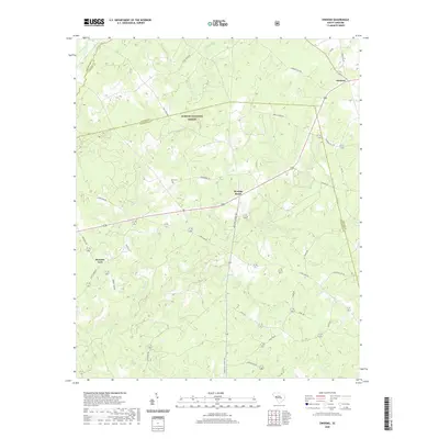 2020 Owdoms2020 Print · USGSEdgefield and Saluda Counties remain deeply rural in this recent survey, centered on the historic crossroads of Meeting Street. Genealogists and historians can trace family land near the Dorn Cem and along winding creek beds like Sleepy Cr or Little Stevens Cr.
 - 2020 Map of Abbeville East, 2020 Print
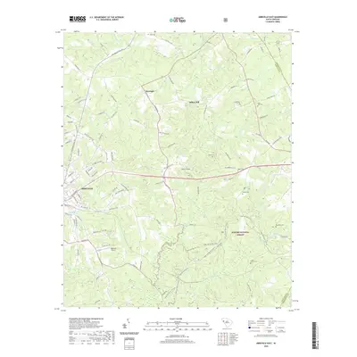 2020 Abbeville East2020 Print · USGSAbbeville and the surrounding forest lands are captured in this recent survey of the South Carolina Piedmont. Local historians can trace family sites at Saint John Cem and Ebenezer Cem or explore the trails of the Sumter National Forest.
 - 2020 Map of Kirksey, 2020 Print
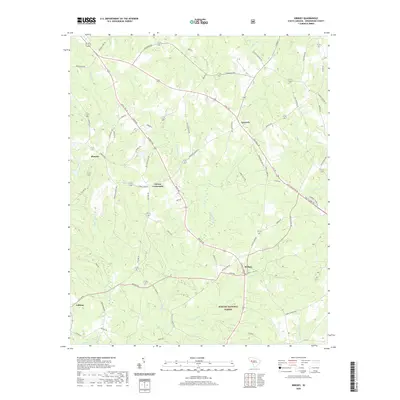 2020 Kirksey2020 Print · USGSGreenwood County at the start of the 2020s shows a landscape defined by the Sumter National Forest and rural hubs. Genealogists can trace family footprints near Kirksey, Gaines Crossroads, and along the banks of Cuffytown Cr.
 - 2020 Map of Ninety Six, 2020 Print
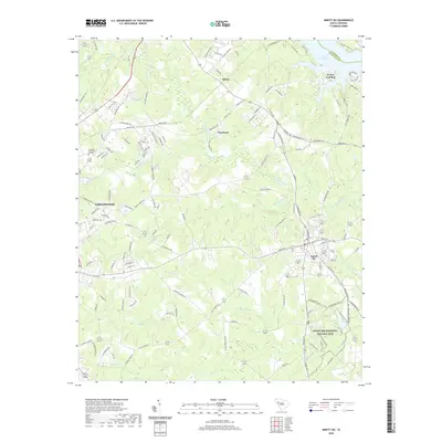 2020 Ninety Six2020 Print · USGSThe South Carolina Piedmont comes into focus in the early twenty-first century, centered on the revolutionary grounds of the Ninety Six National Historic Site. Researchers can trace local development from Greenwood to Saluca, alongside family-named landmarks like Irvines Landing.
 - 2020 Map of Ware Shoals East, 2020 Print
 2020 Ware Shoals East2020 Print · USGSThe rural Upstate landscape of South Carolina is preserved here as it appeared in 2020, centered on the Reedy River and the three-county junction near Ware Shoals. Genealogists can locate several historic burial sites, including Poplar Springs Cem, Kings Chapel Cem, and Hopewell Cem.
 - 2020 Map of Greenwood, 2020 Print
 2020 Greenwood2020 Print · USGSGreenwood at the turn of the decade reflects a blend of educational prominence and deep-rooted residential villages. Trace local history through the city's unique neighborhoods like Panola Village or visit the campus of Lander University.
 - 2020 Map of Good Hope, 2020 Print
 2020 Good Hope2020 Print · USGSSaluda and Greenwood counties are shown here as they appeared in 2020, where the expansive Sumter National Forest meets rural settlements. Researchers can trace family sites and old road networks around Cambridge, Eulala, and the Friendship Cem.
 - 2020 Map of Bradley, 2020 Print
 2020 Bradley2020 Print · USGSUpper South Carolina's rural crossroads and forest boundaries are meticulously detailed in this recent study of the Greenwood and McCormick county line. Family researchers can pinpoint Old Pine Grove Cem and Rushville Cem or trace the early paths of Gold Mine Rd and Dendy Bridge Rd.
 - 2020 Map of Cokesbury, 2020 Print
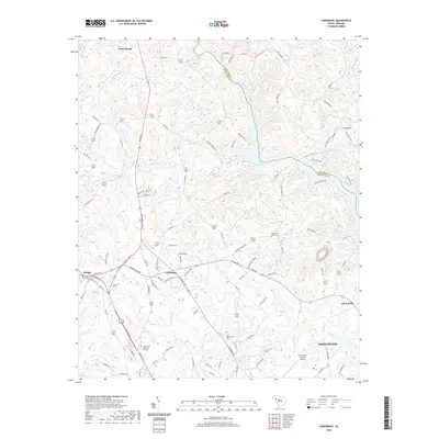 2020 Cokesbury2020 Print · USGSThe rural Piedmont of South Carolina is detailed here in the early twenty-first century, centered on the crossroads of Cokesbury. Researchers can trace local heritage through landmarks like Allen University, Old Tabernacle Cem, and the waters of Lake Greenwood.
 - 2020 Map of Shoals Junction, 2020 Print
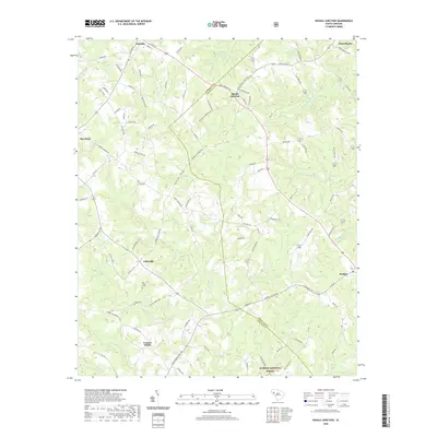 2020 Shoals Junction2020 Print · USGSThis rural portion of the South Carolina Upstate at the Abbeville-Greenwood border shows a landscape of timberlands and small crossroads communities. Genealogists can locate Old Gilgal Cemetery or trace family lands near Donalds, Shoals Junction, and Arborville.
 - 2020 Map of Ware Shoals West, 2020 Print
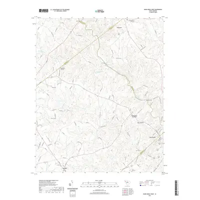 2020 Ware Shoals West2020 Print · USGSThe Saluda River valley is captured here in the 2020s, showing a landscape defined by many county boundaries and river shoals. Genealogists can trace family landmarks and cemeteries near Princeton Baptist Church, Donalds, and the quiet community of Blue Heaven.
 - 2020 Map of Chappells, 2020 Print
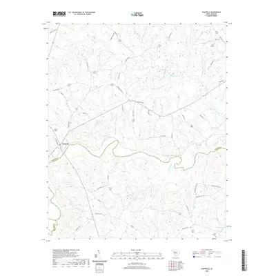 2020 Chappells2020 Print · USGSThe Saluda River valley at the Newberry and Saluda county line is captured here in the early twenty-first century. Researchers can trace rural lineages through the Pine Pleasant Cem or follow the paths of Island Ford Rd and Old Town Rd.
 - 2020 Map of Verdery, 2020 Print
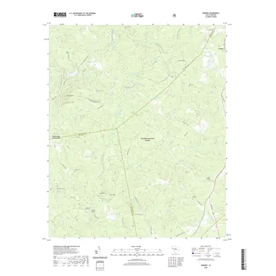 2020 Verdery2020 Print · USGSThe intersection of Abbeville, McCormick, and Greenwood counties comes into focus in this contemporary forest survey. Researchers can trace rural heritage through numerous burial grounds like Mount Sinai Cem or explore the trail systems surrounding Parsons Mtn and Four H Club Lake.
 - 2020 Map of Waterloo, 2020 Print
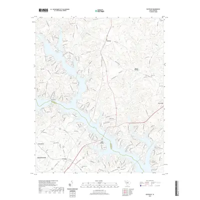 2020 Waterloo2020 Print · USGSLaurens and Greenwood counties meet along the convoluted shores of Lake Greenwood in this modern survey. Researchers can trace historic local sites from the Smyrna Cem to the settlements of Waterloo, Harris Springs, and Cross Hill.
 - 2020 Map of Dyson, 2020 Print
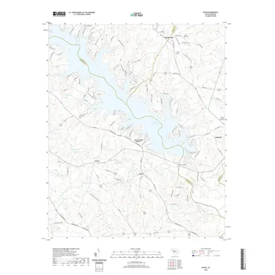 2020 Dyson2020 Print · USGSThe convergence of four South Carolina counties is captured here in the contemporary era, centered on the expansive waters of Lake Greenwood. Genealogists and local historians can trace rural family legacies at Sauls Chapel Cem and the Bozeman - Scurry Graveyard near Chappells.
 - 2020 Map of Winterseat, 2020 Print
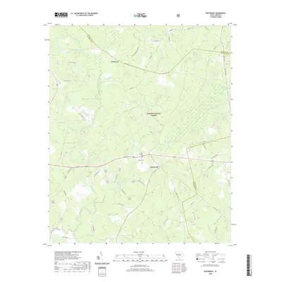 2020 Winterseat2020 Print · USGSMcCormick and Greenwood Counties are shown at the turn of the decade, revealing a landscape defined by the deep woods of the South Carolina Piedmont. Researchers can trace rural lineages at Old Bethany Cem or follow the paths of Five Notch Rd and Hard Labor Creek.
 - 2020 Map of McCormick, 2020 Print
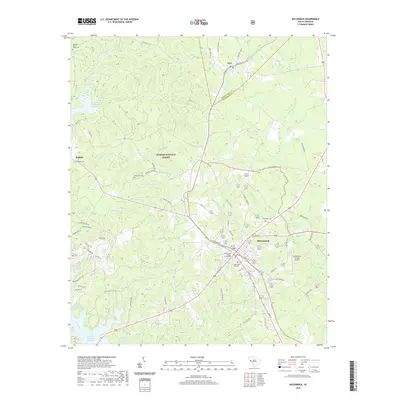 2020 McCormick2020 Print · USGSMcCormick and the surrounding Sumter National Forest are documented in this recent survey, showing the intersection of forest lands and the county seat. Researchers can locate family landmarks such as the Harris - Wilks Cem, Wideman Cem, and the historic McCormick City Cem.
 - 2020 Map of Limestone, 2020 Print
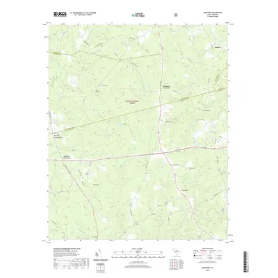 2020 Limestone2020 Print · USGSThe borderlands of Greenwood and Edgefield counties are revealed here in the modern era, featuring the timberlands of the Sumter National Forest. Genealogists can trace local roots through numerous sites like Penn Cem, Limestone, and Mayson Crossroads.
 - 2024 Map of Greenwood, 2024 Print
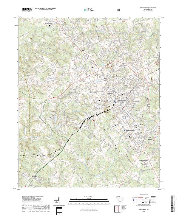 2024 Greenwood2024 Print · USGSGreenwood and its surrounding mill villages are captured here in the contemporary era, revealing the deep roots of this Piedmont hub. Researchers can locate family landmarks like Mars Hill Church, Magnolia Cem, and the historic settlement of Promised Land.
 - 2024 Map of Winterseat, 2024 Print
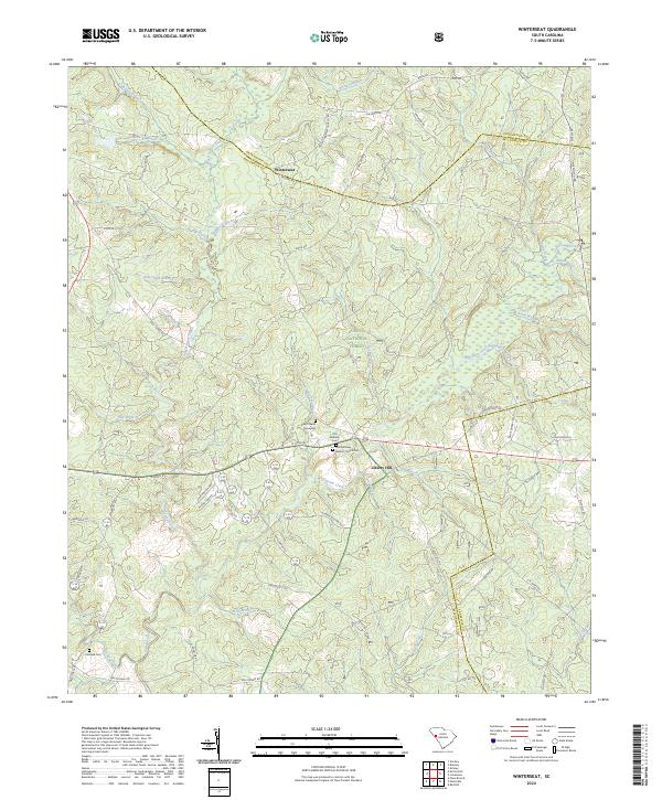 2024 Winterseat2024 Print · USGSThe McCormick and Greenwood county borders meet in this 2024 survey of the South Carolina Piedmont, where forest land and family history intersect. Genealogists can trace local roots at Zion Chapel Graveyard and First Bethany Baptist Church Cem.
 - 2024 Map of Chappells, 2024 Print
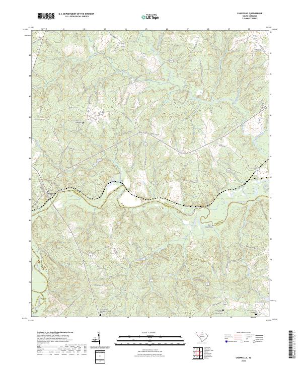 2024 Chappells2024 Print · USGSThe South Carolina backcountry along the Saluda River is shown here in detail, highlighting the rural character of the Newberry and Saluda county line. Researchers can locate several historic burial grounds such as Pine Pleasant Church Graveyard and trace the site of the Old Town Ferry.
 - 2024 Map of Ware Shoals West, 2024 Print
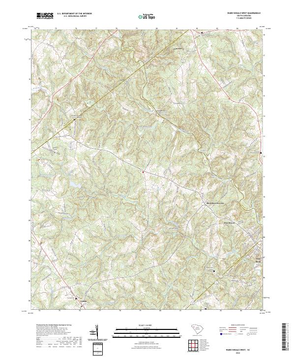 2024 Ware Shoals West2024 Print · USGSIn the Upstate of South Carolina, this area shows the historic borderlands where the Saluda River separates five different counties. Genealogists can trace family lines through several rural burial grounds, including Turkey Creek Church Graveyard and Donalds Cem.
 - 2024 Map of Waterloo, 2024 Print
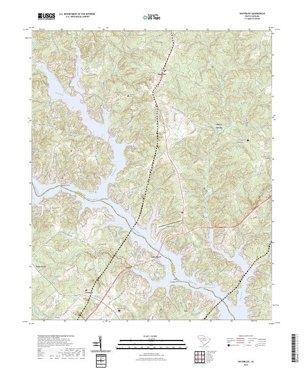 2024 Waterloo2024 Print · USGSThe confluence of the Reedy and Saluda Rivers defines this corner of the South Carolina Piedmont in the modern era. Genealogists and historians can locate family burial grounds at Smyrna Cem and Franklin Cem or trace old river crossings like Youngs Ferry.
 - 2024 Map of Ninety Six, 2024 Print
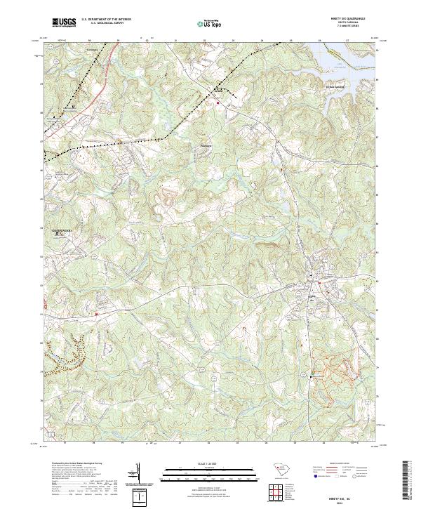 2024 Ninety Six2024 Print · USGSThe Revolutionary War heritage of Greenwood County is captured here in the early twenty-first century, centered on the Ninety Six National Historic Site. Genealogists and historians can trace several significant burial grounds, including Mayson Graves and the Mount Tabor Church Graveyard.
 - 2024 Map of Owdoms, 2024 Print
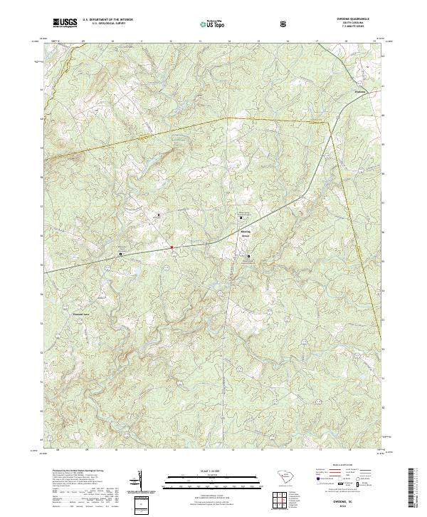 2024 Owdoms2024 Print · USGSThe borderlands of Edgefield and Saluda Counties appear here in a recent detailed view of their rural settlements and forest lands. Genealogists can locate family landmarks like the Mckendree Church Graveyard, Dom Cem, and the crossroads at Meeting Street.
Showing maps 1-25 of 36
Top cities of Greenwood County
- Greenwood historical maps
- Ninety Six historical maps
- Hodges historical maps
- Troy historical maps
- P C Jean historical maps
Frequently asked questions
- What are the different types of historical maps available for Greenwood County?
- What is the oldest map of Greenwood County?
- Where can I purchase historical maps of Greenwood County for my home or office?
- Where can I download high-res historical maps of Greenwood County?
- Are there historical topographic maps available for Greenwood County?
- Is there historical aerial imagery available for Greenwood County?
- Where are historical maps of Greenwood County sourced from?