Old Maps of Ware Shoals, South Carolina for Metal Detecting
Plan your next treasure hunt with 28 historic maps of Ware Shoals. Find old homesites, ghost towns, trails, and gathering spots that may be lost to time — perfect for identifying promising metal detecting locations.
- Locate forgotten sites: Uncover places like long-lost settlements, abandoned rail lines, or gathering spots.
- Plan better hunts: Use map overlays combined with LiDAR or satellite views to narrow in on historically rich areas.
- Made for detectorists: Thousands of hobbyists use these maps to discover relics, coins, and hidden history.
Use these historic maps to boost your research and find new opportunities beneath the surface of Ware Shoals.
Ware Shoals, SC maps
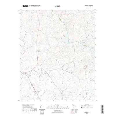
(28)- 1892 Map of Abbeville
 1892 Abbeville1892 Print · USGSSouth Carolina’s Upstate during the late 1800s reveals a landscape defined by critical river crossings and the arrival of the steam era. Genealogists can trace family roots through localized sites like Smith Ferry, Maddox Mill, and the bustling rail hub of Greenwood.6 unique versions available
 - 1954 Map of Greenville, 1965 Print
 1954 Greenville1965 Print · USGSThe Upstate and Northeast Georgia are captured here during a decade of massive transformation as new reservoirs reshaped the Piedmont. Genealogists and hikers can trace the Appalachian Trail over Brasstown Bald or locate old community centers like Demorest, Westminster, and Royston.3 unique versions available
 - 1958 Map of Greenville
 1958 Greenville1958 Print · USGSThe Piedmont and Blue Ridge foothills come alive in this mid-century survey of the Upstate and Northeast Georgia. Trace the regional rail-and-river economy through the Southern Railway corridors and early reservoir developments like Lake Sidney Lanier.
 - 1971 Map of Cokesbury, 1974 Print
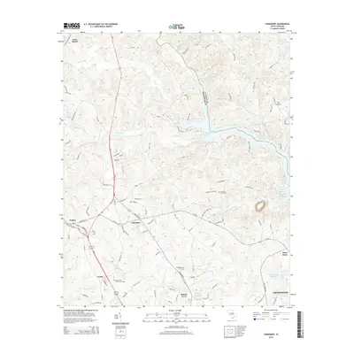
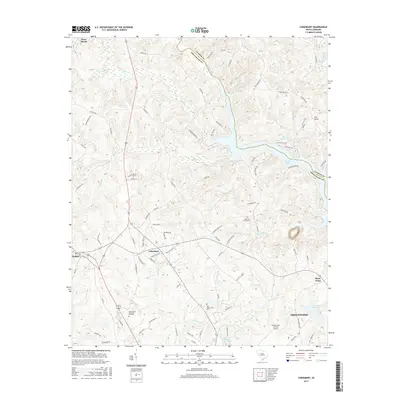
 1971 Cokesbury1974 Print · USGSThe rural Upstate of the early 1970s is centered here around Cokesbury and its historic Old Cokesbury College campus. Researchers can trace family roots at Old Tabernacle Cem or locate community landmarks like North Hodges Sch and the Hodges Lookout Tower.2 unique versions available
 - 1971 Map of Ware Shoals East, 1975 Print
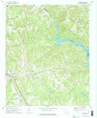
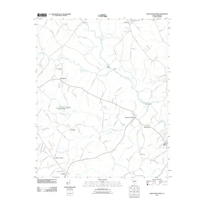
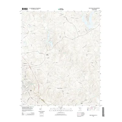
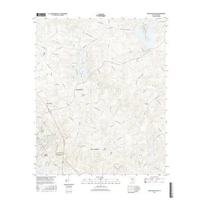
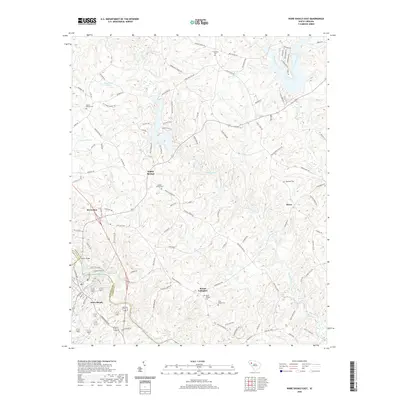
 1971 Ware Shoals East1975 Print · USGSLaurens County and the surrounding river country are documented here in the early seventies, centered on the industrial and community hubs of the Piedmont. Genealogists can trace family locations near Bethel Ch, Poplar Springs, and the Boyd Millpond shoreline.
 - 1971 Map of Shoals Junction, 1975 Print
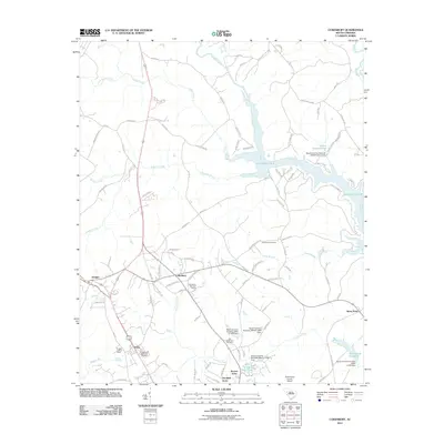
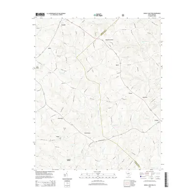
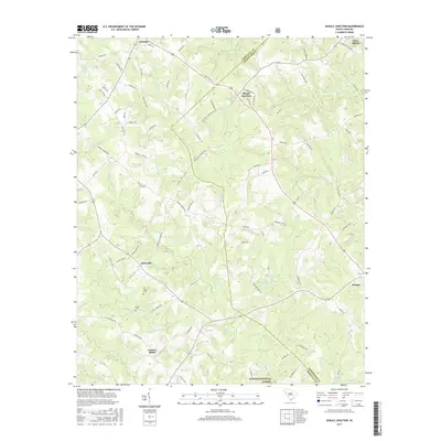
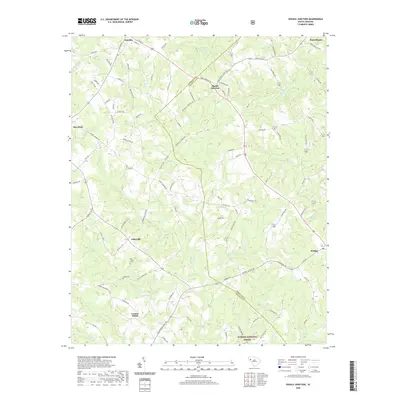
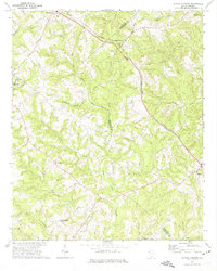 1971 Shoals Junction1975 Print · USGSThe rural Upstate South Carolina corridor comes into focus in the early seventies, centered on the Shoals Junction rail crossing. Genealogists can trace family roots at Gilgal Cem, Mt Zion Ch, and the growing communities of Due West and Arborville.
 - 1971 Map of Ware Shoals West, 1975 Print
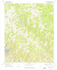
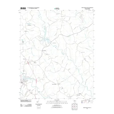
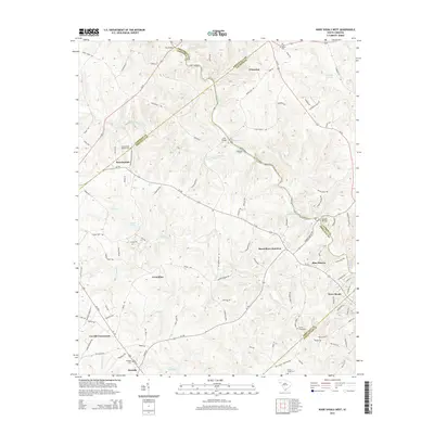
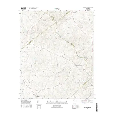
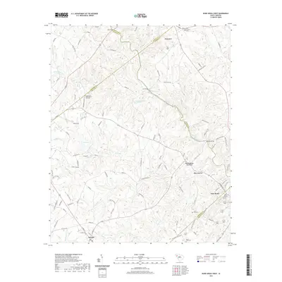
 1971 Ware Shoals West1975 Print · USGSThe Saluda River valley in the early seventies shows a landscape defined by crossing county lines and rail connections. Researchers can trace family roots through the Turkey Creek Cem, visit the settlement of Blue Heaven, or locate the old Drive-in Theater.
 - 1979 Map of Abbeville, 1980 Print
 1979 Abbeville1980 Print · USGSThe South Carolina and Georgia borderlands are captured here during a period of significant hydroelectric development and regional growth. Researchers can trace the rail-and-river economy through the Seaboard Coast Line and landmarks like Hartwell Dam or the Silk Mills.2 unique versions available
 - 2011 Map of Shoals Junction, 2011 Print
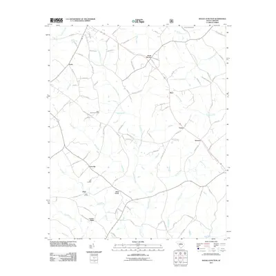 2011 Shoals Junction2011 Print · USGSCovers Ware Shoals, including Due West, Donalds, and other nearby areas
 - 2011 Map of Ware Shoals West, 2011 Print
 2011 Ware Shoals West2011 Print · USGSCovers Ware Shoals, including Honea Path, Donalds, and other nearby areas
 - 2011 Map of Ware Shoals East, 2011 Print
 2011 Ware Shoals East2011 Print · USGSCovers Ware Shoals, including Poplar Springs, Brewerton, and other nearby areas
 - 2011 Map of Cokesbury, 2011 Print
 2011 Cokesbury2011 Print · USGSCovers Ware Shoals, including Greenwood, Hodges, and other nearby areas
 - 2014 Map of Cokesbury, 2014 Print
 2014 Cokesbury2014 Print · USGSCovers Ware Shoals, including Greenwood, Hodges, and other nearby areas
 - 2014 Map of Shoals Junction, 2014 Print
 2014 Shoals Junction2014 Print · USGSCovers Ware Shoals, including Due West, Donalds, and other nearby areas
 - 2014 Map of Ware Shoals West, 2014 Print
 2014 Ware Shoals West2014 Print · USGSCovers Ware Shoals, including Honea Path, Donalds, and other nearby areas
 - 2014 Map of Ware Shoals East, 2014 Print
 2014 Ware Shoals East2014 Print · USGSCovers Ware Shoals, including Poplar Springs, Brewerton, and other nearby areas
 - 2017 Map of Shoals Junction, 2017 Print
 2017 Shoals Junction2017 Print · USGSCovers Ware Shoals, including Due West, Donalds, and other nearby areas
 - 2017 Map of Ware Shoals West, 2017 Print
 2017 Ware Shoals West2017 Print · USGSCovers Ware Shoals, including Honea Path, Donalds, and other nearby areas
 - 2017 Map of Cokesbury, 2017 Print
 2017 Cokesbury2017 Print · USGSCovers Ware Shoals, including Greenwood, Hodges, and other nearby areas
 - 2017 Map of Ware Shoals East, 2017 Print
 2017 Ware Shoals East2017 Print · USGSCovers Ware Shoals, including Poplar Springs, Brewerton, and other nearby areas
 - 2020 Map of Ware Shoals East, 2020 Print
 2020 Ware Shoals East2020 Print · USGSCovers Ware Shoals, including Poplar Springs, Brewerton, and other nearby areas
 - 2020 Map of Cokesbury, 2020 Print
 2020 Cokesbury2020 Print · USGSCovers Ware Shoals, including Greenwood, Hodges, and other nearby areas
 - 2020 Map of Shoals Junction, 2020 Print
 2020 Shoals Junction2020 Print · USGSCovers Ware Shoals, including Due West, Donalds, and other nearby areas
 - 2020 Map of Ware Shoals West, 2020 Print
 2020 Ware Shoals West2020 Print · USGSCovers Ware Shoals, including Honea Path, Donalds, and other nearby areas
 - 2024 Map of Ware Shoals West, 2024 Print
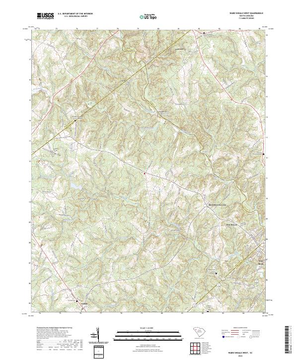 2024 Ware Shoals West2024 Print · USGSIn the Upstate of South Carolina, this area shows the historic borderlands where the Saluda River separates five different counties. Genealogists can trace family lines through several rural burial grounds, including Turkey Creek Church Graveyard and Donalds Cem.
Showing maps 1-25 of 28
Top cities near Ware Shoals
- Greenwood historical maps
- Laurens historical maps
- Abbeville historical maps
- Williamston historical maps
- Honea Path historical maps
- Ninety Six historical maps
See more
Frequently asked questions
- What are the different types of historical maps available for Ware Shoals?
- What is the oldest map of Ware Shoals?
- Where can I purchase historical maps of Ware Shoals for my home or office?
- Where can I download high-res historical maps of Ware Shoals?
- Are there historical topographic maps available for Ware Shoals?
- Is there historical aerial imagery available for Ware Shoals?
- Where are historical maps of Ware Shoals sourced from?