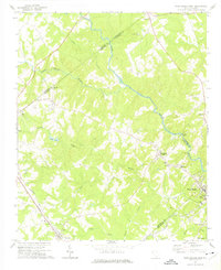
1971 Map of Ware Shoals West
USGS Topo · Published 1975About this map
The Saluda River snakes through this Piedmont landscape, serving as a natural boundary between several South Carolina counties. In the early 1970s, the area around Ware Shoals shows a mix of industrial infrastructure and rural community centers. The Seaboard Coast Line railroad runs through the southwestern corner, connecting the settlement of Donalds with the wider region. Local life is anchored by a network of country churches and community landmarks, such as New Bethlehem Ch and Broadmouth Ch, alongside unique social features like a Drive-in Theater and Legion Lake.
Find a feature on this map
35 named features on this map. Tap any name to fly to it.
Don’t see what you’re looking for? This feature index may not catch every label — zoom into the map to look around manually.
Map Details
Editions of this 1971 Ware Shoals West Map
This is the sole edition of this map. No revisions or reprints were ever made.
Other maps of this area

1892 · Abbeville
USGS Topo · 1:125,000

1954 · Greenville
USGS Topo · 1:250,000

1957 · Fountain Inn
USGS Topo · 1:62,500

1957 · Williamston
USGS Topo · 1:62,500

1958 · Greenville
USGS Topo · 1:250,000
1970 · Honea Path
USGS Topo · 1:24,000
1971 · Cokesbury
USGS Topo · 1:24,000
1971 · Due West
USGS Topo · 1:24,000
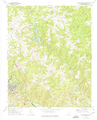
1971 · Ware Shoals East
USGS Topo · 1:24,000
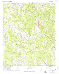
1971 · Shoals Junction
USGS Topo · 1:24,000