2020s Maps of Orangeburg County, South Carolina
Explore 62 historic maps of Orangeburg County from the 2020s. These maps offer a rare glimpse into what life looked like during the 2020s — showing old roads, neighborhoods, homes, and landmarks that have changed or disappeared over time.
Whether you're researching your family's past, planning a metal detecting trip, or studying how Orangeburg County's landscape evolved across the 2020s, these high-resolution maps are a powerful tool for exploring the history of this region.
- Focus on a specific era: All maps on this page are from the 2020s, giving you a focused view of this time period.
- See what’s changed: Compare century-old streets, trails, and buildings to today's modern landscape using overlays and satellite layers.
- Research with precision: Use these maps for genealogy, historical research, land use analysis, or educational projects.
- View, download, or print: Maps are fully viewable online in high resolution, and can be downloaded or printed for your own records.
Start exploring Orangeburg County's history through authentic maps from the 2020s. This is your window into the past.
Orangeburg County, SC maps
(62)- 2020 Map of Branchville South, 2020 Print
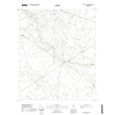 2020 Branchville South2020 Print · USGSBranchville and the rural Lowcountry of the early twenty-first century are captured here as the Edisto River winds through four bordering counties. Genealogists can locate family burial grounds including Buckhead Cem, Risher Cem, and the May - Stokes - Raysor Cem.
 - 2020 Map of Branchville North, 2020 Print
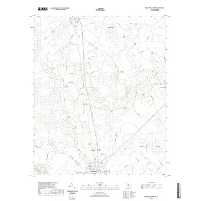 2020 Branchville North2020 Print · USGSBranchville and Rowesville are shown in this modern survey of the South Carolina Lowcountry. Genealogists and local historians can trace family locations through sites like Canaan Baptist Church, Sardis Cem, and the uniquely named Sixty Six settlement.
 - 2020 Map of Felderville, 2020 Print
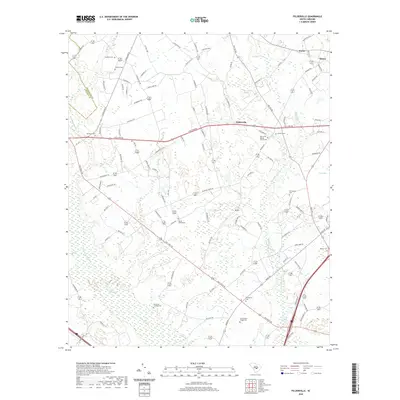 2020 Felderville2020 Print · USGSOrangeburg County's rural landscape is captured here in the contemporary era, showing a region defined by family homesteads and expansive wetlands. Genealogists can trace local roots at Island Cemeteries, Murcheys Landing Cem, and the historic Oak Grove Baptist Church Cem.
 - 2020 Map of Wadboo Swamp, 2020 Print
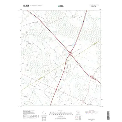 2020 Wadboo Swamp2020 Print · USGSThe borderlands of Dorchester and Orangeburg counties come into focus in the contemporary era, showcasing a landscape of interconnected wetlands and rural settlements. Researchers can trace local history through markers like Duncan Chapel Cem, the community of Whetsell, and the dense reaches of Wadboo Swamp.
 - 2020 Map of Sandridge, 2020 Print
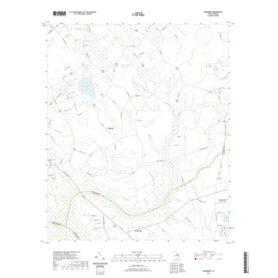 2020 Sandridge2020 Print · USGSSmall settlements and rural family cemeteries dot the lowcountry landscape at the tri-county corner of Orangeburg, Berkeley, and Dorchester. Genealogists can locate family landmarks like Joiner Cem and Blaco Creek Cem near Tugtown.
 - 2020 Map of Orangeburg South, 2020 Print
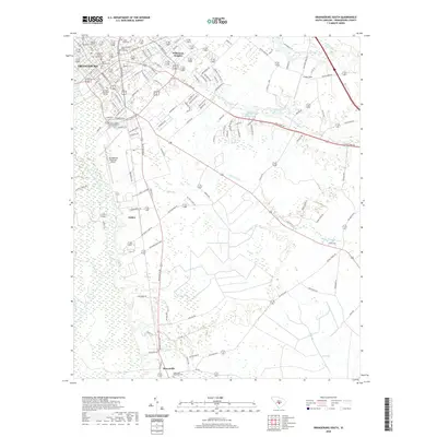 2020 Orangeburg South2020 Print · USGSOrangeburg and its surrounding lowcountry wetlands are captured here during a period of sustained growth. Researchers can trace historical footprints through institutional campuses like Claflin University and rural landmarks such as New Hope Methodist Cem and the Southern Railway corridor.
 - 2020 Map of Eutawville, 2020 Print
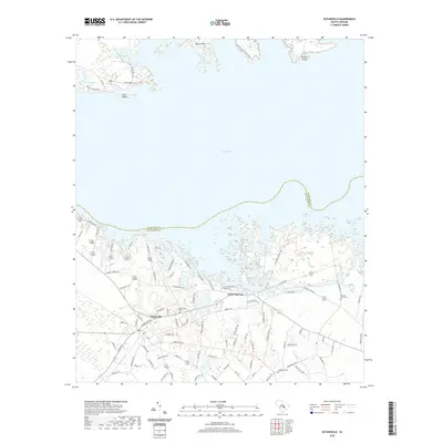 2020 Eutawville2020 Print · USGSThe southern shores of Lake Marion come into focus in this contemporary survey of the Orangeburg and Clarendon county line. Genealogists and local historians can trace family roots at Eutawville Cem and Walnut Grove Cem or explore the developed shoreline around Eutaw Springs.
 - 2020 Map of Midway, 2020 Print
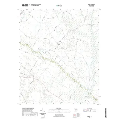 2020 Midway2020 Print · USGSThe Edisto River forks define this South Carolina landscape, where the settlements of Midway and Canaan sit among vast wetlands. Trace family history at Oakland or Bethlehem cemeteries and locate old crossings at Cannon Bridge.
 - 2020 Map of Eadytown, 2020 Print
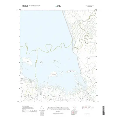 2020 Eadytown2020 Print · USGSThe waters of Lake Marion meet the Berkeley County shoreline in this 2020 study of a landscape shaped by the Santee River system. Genealogists and local historians can trace family markers at the Thomas Walter Grave, Rocks Cem, and the Mount Pleasant Plantation Cem.
 - 2020 Map of Holly Hill, 2020 Print
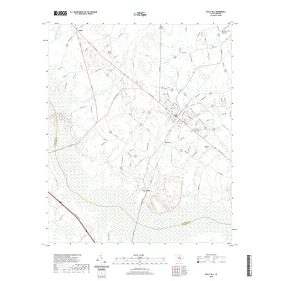 2020 Holly Hill2020 Print · USGSHolly Hill and the surrounding South Carolina swamplands appear here in recent years, showing a landscape shaped by water and tradition. Genealogists can locate several family sites including the Platt Family Cem and Corinth Baptist Church Cem near Four Hole Swamp.
 - 2020 Map of Elloree, 2020 Print
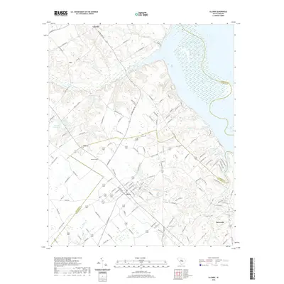 2020 Elloree2020 Print · USGSSettled along the edge of the Santee basin, this South Carolina landscape shows the interface of the town of Elloree with the wetlands of Lake Marion. Genealogists and local historians can locate several family and community landmarks, including Santee First Baptist Cem, Bookhart Cem, and the settlement of Partersville.
 - 2020 Map of Cross, 2020 Print
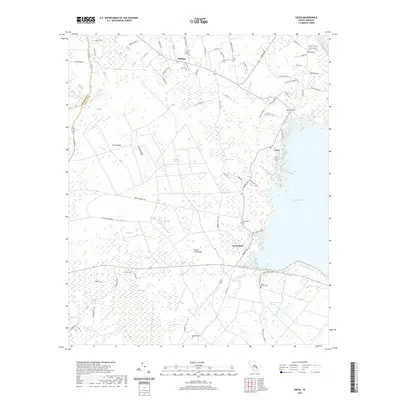 2020 Cross2020 Print · USGSBerkeley County's low country is captured here in the modern era, showing the intersection of rural life and the waters of Lake Moultrie. Genealogists and local historians can trace community roots through numerous burial grounds like Mount Olivet Cem and Grooms Cem.
 - 2020 Map of Wolfton, 2020 Print
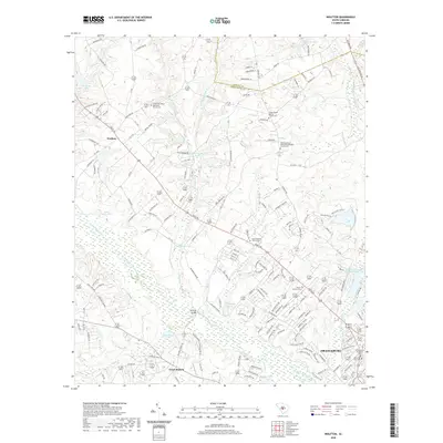 2020 Wolfton2020 Print · USGSThe rural stretches between Wolfton and Orangeburg are captured here in the early twenty-first century as suburban growth meets traditional river lands. Genealogists can locate family sites at Jones Chapel Baptist Church or trace the waters of Caw Caw Swamp.
 - 2020 Map of Indian Camp Branch, 2020 Print
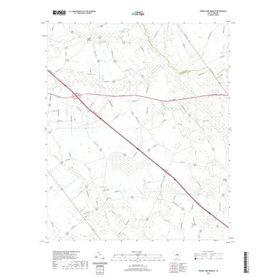 2020 Indian Camp Branch2020 Print · USGSThe rural borderlands of Calhoun and Orangeburg counties are captured here in the contemporary era. Researchers can trace local lineage through several burial sites including Pineville Cem, Shiloh Cem, and the Four Holes Baptist Church Cem.
 - 2020 Map of Cameron, 2020 Print
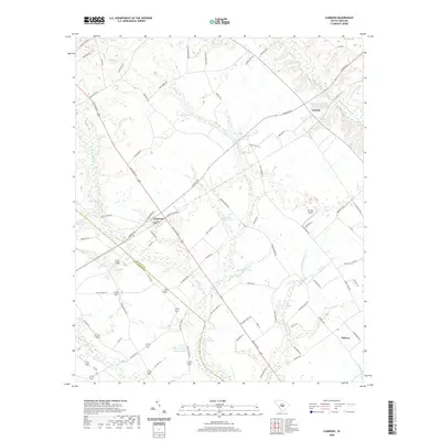 2020 Cameron2020 Print · USGSIn the heart of the South Carolina coastal plain, this 2020 map documents the rural landscapes and water systems surrounding Cameron and Creston. Researchers can trace old family land holdings through landmarks like T C Moss Pond, Mc Neil Airport, and the winding reaches of Four Hole Swamp.
 - 2020 Map of Saint Paul, 2020 Print
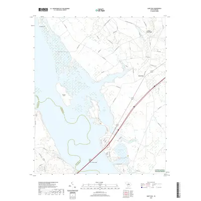 2020 Saint Paul2020 Print · USGSClarendon County's rural heartland meets the expansive waters of Lake Marion in this contemporary 2020 survey. Genealogists and local historians can trace the roads connecting Saint Paul and Belser Crossroads or locate landmarks within the Santee National Wildlife Refuge.
 - 2020 Map of Orangeburg North, 2020 Print
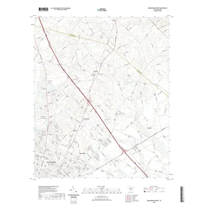 2020 Orangeburg North2020 Print · USGSOrangeburg and its northern rural reaches are captured here in the early twenty-first century as the city meets the Lowcountry swamps. Researchers can trace family history at sites like Bull Swamp Cem, Hubbard Cem, and the communities of Jamison and Stilton.
 - 2020 Map of Vance, 2020 Print
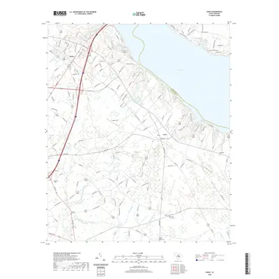 2020 Vance2020 Print · USGSOrangeburg County's shoreline along Lake Marion is captured here during the twenty-first century, showcasing the area's mix of wetland terrain and growing communities. Genealogists can locate several historic burial sites like Liberty Hill Cem and Corinth Baptist Church Cem among the surrounding swamps.
 - 2020 Map of Bowman, 2020 Print
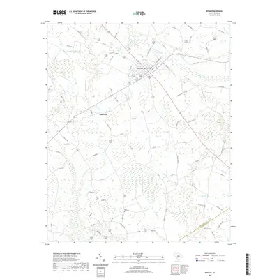 2020 Bowman2020 Print · USGSThe town of Bowman and its surrounding wetlands are captured here in the early twenty-first century. Researchers can trace rural family sites near Mount Tabor Cem and follow the natural drainages of Polk Swamp and Sandy Run.
 - 2020 Map of Staley Crossroads, 2020 Print
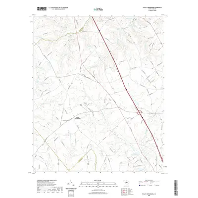 2020 Staley Crossroads2020 Print · USGSThe South Carolina Midlands are captured here in the contemporary era, showing a landscape defined by ancestral family ponds and rural airstrips. Genealogists and local historians can trace the drainages of Caw Caw Swamp or locate specific sites like Staley Crossroads and Do-Little Field.
 - 2020 Map of Reevesville, 2020 Print
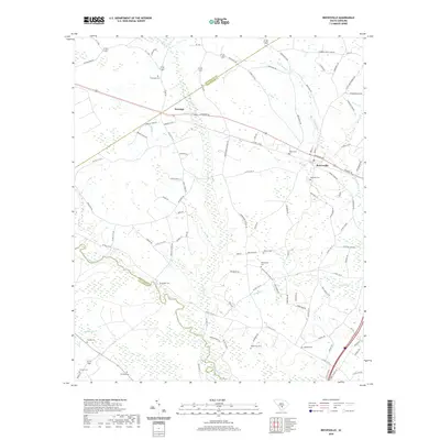 2020 Reevesville2020 Print · USGSDorchester County and the surrounding low-country wetlands are captured here in the modern era. Genealogists can trace family heritage at numerous rural burial sites including Thompson Cemetery, Magnolia Cemetery, and Beulah Cemetery.
 - 2020 Map of Cordova, 2020 Print
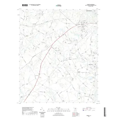 2020 Cordova2020 Print · USGSOrangeburg County in the 2020s remains a landscape of rural communities and intricate swamp systems. Researchers can trace family history through numerous landmarks like Saint George Baptist Church Cem, Highland Park, and the Smoak Family Cem.
 - 2020 Map of Norway East, 2020 Print
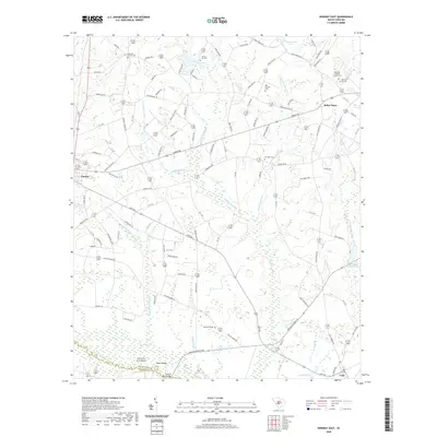 2020 Norway East2020 Print · USGSThe rural countryside of Orangeburg County is captured here in the late 2010s, centered on the crossroads of Norway and the wetlands of the Edisto basin. Genealogists and local historians can locate several historic burial sites like Old Union Cem and churches including Lebanon Church.
 - 2020 Map of Bamberg, 2020 Print
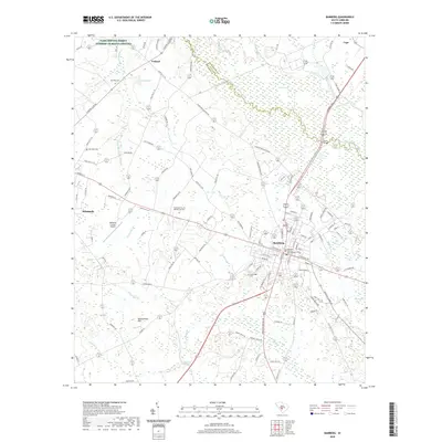 2020 Bamberg2020 Print · USGSThe county seat of Bamberg and its rural surroundings are documented in the early twenty-first century, showing the intersection of local government and the river lowlands. Genealogists can locate several burial sites including Zion Hill Cem and Log Bridge Cem near the South Fork Edisto River.
 - 2020 Map of Springfield, 2020 Print
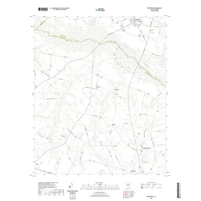 2020 Springfield2020 Print · USGSBarnwell and Orangeburg Counties are captured in this modern survey, showing the transition from the river lowlands to rural crossroads communities. Local researchers can trace family landmarks like Brodie Family Cem, the waters of Willis Millpond, and the historic Healing Springs site.
Showing maps 1-25 of 62
Top cities of Orangeburg County
- Orangeburg historical maps
- Holly Hill historical maps
- Bowman historical maps
- Branchville historical maps
- Santee historical maps
- North historical maps
See more
Frequently asked questions
- What are the different types of historical maps available for Orangeburg County?
- What is the oldest map of Orangeburg County?
- Where can I purchase historical maps of Orangeburg County for my home or office?
- Where can I download high-res historical maps of Orangeburg County?
- Are there historical topographic maps available for Orangeburg County?
- Is there historical aerial imagery available for Orangeburg County?
- Where are historical maps of Orangeburg County sourced from?