Old Maps of Norris, South Carolina for Hiking & Exploration
Hike through history with 32 historic maps of Norris. Explore old trails, ghost towns, and forgotten backroads — perfect for outdoor adventurers and local explorers.
- Rediscover forgotten places: Map out old mining camps, roads, and footpaths that no longer exist on modern maps.
- Layer with modern tools: Combine with LiDAR or satellite views to plan hikes through historical terrain.
- Made for exploration: Popular among hikers, overlanders, and local history lovers.
Use these maps to find adventure and explore the hidden past of Norris.
Norris, SC maps
(32)- 1888 Map of Pickens
 1888 Pickens1888 Print · USGSThe South Carolina Piedmont comes alive in the late nineteenth century, showing the rural communities of Pickens and Anderson. Genealogists can trace family landmarks like Sutton's Mill, Six Mile Church, and river crossings at Cherry's Ferry.
 - 1894 Map of Pickens
 1894 Pickens1894 Print · USGSNorthwest South Carolina in the late nineteenth century was a landscape of river-driven industry and emerging rail lines. Researchers can trace ancestral roots through family landmarks like Watson Mill, the community at Old Pickens, and the rural New Hope Church.6 unique versions available
 - 1951 Map of Clemson, 1952 Print
 1951 Clemson1952 Print · USGSThe foothills of South Carolina come to life in the early fifties, centered on the growing campus of Clemson Agricultural College. Researchers can trace the Southern rail line through Central or locate family landmarks like Lawrence Chapel and Mt Zion Cem.6 unique versions available
 - 1954 Map of Greenville, 1965 Print
 1954 Greenville1965 Print · USGSThe Upstate and Northeast Georgia are captured here during a decade of massive transformation as new reservoirs reshaped the Piedmont. Genealogists and hikers can trace the Appalachian Trail over Brasstown Bald or locate old community centers like Demorest, Westminster, and Royston.3 unique versions available
 - 1957 Map of Anderson, 1958 Print
 1957 Anderson1958 Print · USGSUpstate South Carolina during the late fifties centers on the growth of Anderson and its surrounding textile and agricultural communities. Genealogists and local historians can trace family roots through numerous rural landmarks like McElmoyle Sch, Willis Chapel, and Sandy Springs.2 unique versions available
 - 1957 Map of Easley, 1958 Print
 1957 Easley1958 Print · USGSIn the mid-1950s, the textile and rail corridor between Easley and Liberty hummed with Piedmont industry. Genealogists and local historians can trace family roots through numerous rural sites like Bruce-Hagood Cem, Dacusville, and the historic Pickensville settlement.2 unique versions available
 - 1958 Map of Greenville
 1958 Greenville1958 Print · USGSThe Piedmont and Blue Ridge foothills come alive in this mid-century survey of the Upstate and Northeast Georgia. Trace the regional rail-and-river economy through the Southern Railway corridors and early reservoir developments like Lake Sidney Lanier.
 - 1961 Map of Six Mile, 1964 Print
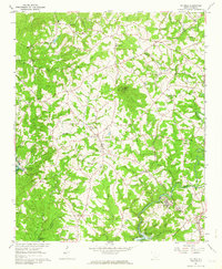 1961 Six Mile1964 Print · USGSThis early 1960s survey of Pickens County captures the Piedmont landscape as the Hartwell Reservoir was beginning to shape the local geography. Genealogists can locate family landmarks like Mile Creek Ch, the community of Six Mile, and the rail-side town of Norris.3 unique versions available
 - 1983 Map of Liberty
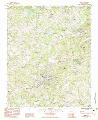 1983 Liberty1983 Print · USGSThe Southern railway corridor and Piedmont foothills define this part of Pickens County in the early eighties. Researchers can trace family sites at Rices Creek Ch, locate the old Drive-In Theater, or survey the grounds of Hillcrest Memorial Park.2 unique versions available
 - 1983 Map of Five Forks
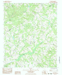 1983 Five Forks1983 Print · USGSThe borderlands of Pickens and Anderson Counties are captured here in the early 1980s, revealing a landscape of small Piedmont communities and deep-rooted rural institutions. Genealogists can trace ancestral sites at Willis Chapel Cem, Sharon Ch, and along the banks of Three and Twenty Creek.
 - 1984 Map of Greenville
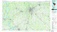 1984 Greenville1984 Print · USGSThe South Carolina Upstate undergoes rapid suburban growth in the mid-eighties as modern interstates begin to reshape the landscape. Researchers can trace historic rail lines like the Greenville and Northern Railway and locate local landmarks such as Clemson University and Paris Mountain State Park.
 - 1991 Map of Greenville
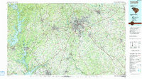 1991 Greenville1991 Print · USGSThe South Carolina Upstate was a landscape of rapid growth and engineering in the early nineties. Researchers can trace the expansion of Greenville and Spartanburg, find Clemson University, or study the massive reservoirs of Hartwell Lake and Lake Keowee.
 - 2011 Map of Five Forks, 2011 Print
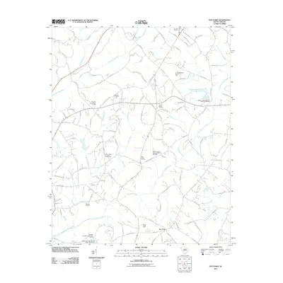 2011 Five Forks2011 Print · USGSPickens County at the start of the 2010s shows a landscape of established family farms and historic congregations nestled between major creek branches. Researchers can trace local heritage at Sharon Cemetery, Willis Chapel Cemetery, and the Five Forks junction.
 - 2011 Map of Clemson, 2011 Print
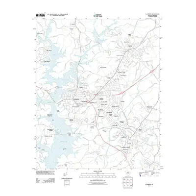 2011 Clemson2011 Print · USGSThe Upstate's university and lakefront communities are captured here in the early twenty-first century as suburban growth expanded around Clemson. Researchers can locate historic burial grounds like Old Stone Cemetery, trace the Keowee River shoreline, and find early-named neighborhoods from Douthit Hills to Kelcar Acres.
 - 2011 Map of Six Mile, 2011 Print
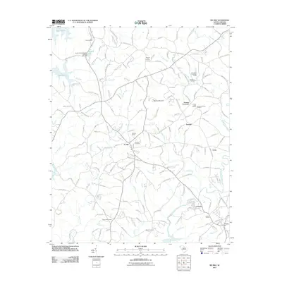 2011 Six Mile2011 Print · USGSPickens County comes into focus in the early twenty-first century as the waters of Lake Keowee meet established upland communities. Genealogists and local historians can map family ties at Boroughs-Gillespie Cemetery, Six Mile Cemetery, or the historic junction at Terrapin Crossroads.
 - 2011 Map of Liberty, 2011 Print
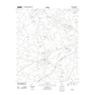 2011 Liberty2011 Print · USGSThe foothills of the Blue Ridge Mountains come alive in this survey of Pickens County, centered on the growing community of Liberty. Genealogists can trace family names across more than a dozen local burial grounds including Enon Cemetery, Roanoke Cemetery, and Ruhamah Cemetery.
 - 2014 Map of Five Forks, 2014 Print
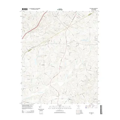 2014 Five Forks2014 Print · USGSThe Pickens and Anderson County line south of Norris is shown here as it appeared in the early 2010s. Genealogists can trace family landmarks and burial sites including Corinth Baptist Cem Number Two, Willis Chapel Cem, and Flat Rock Cem.
 - 2014 Map of Liberty, 2014 Print
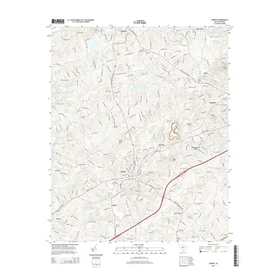 2014 Liberty2014 Print · USGSPickens County at the start of the 2010s reveals a mix of growing residential communities and well-preserved family heritage sites. Genealogists and local historians can trace legacy landmarks like Hopkins Bridge, Bethlehem Cemetery, and the community of Five Forks.
 - 2014 Map of Clemson, 2014 Print
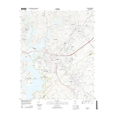 2014 Clemson2014 Print · USGSThe university towns of Clemson and Central are captured in the mid-2010s as they interface with the inlets of Hartwell Lake. Researchers can locate several historic burial grounds like Old Stone Cem and Mt Zion Cem alongside Clemson Univ.
 - 2014 Map of Six Mile, 2014 Print
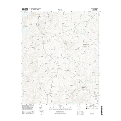 2014 Six Mile2014 Print · USGSThe Pickens County hills come alive in this recent survey, showcasing the area between Lake Keowee and Norris. Genealogists and historians can trace numerous family burial grounds, such as Boroughs-Gillespie Cem and Pleasant Hill Cem, alongside landmarks like Sixmile Mtn.
 - 2017 Map of Liberty, 2017 Print
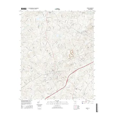 2017 Liberty2017 Print · USGSThe northern Piedmont comes into focus in this late twenty-first-century survey of the communities between Pickens and Liberty. Researchers can trace generations of family history at Hillcrest Memorial Park and Rice Creek Cem or explore the mill-village roots of Arial.
 - 2017 Map of Clemson, 2017 Print
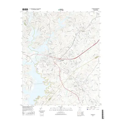 2017 Clemson2017 Print · USGSUpstate South Carolina in the mid-2010s shows the continued growth of college towns and historic rail corridors at the intersection of three counties. Researchers can trace the layout of the Clemson Univ campus and locate historic burial grounds like Old Stone Cem and Mount Zion Cem.
 - 2017 Map of Five Forks, 2017 Print
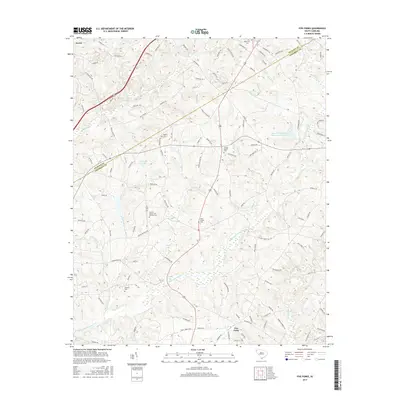 2017 Five Forks2017 Print · USGSModern Pickens and Anderson counties retain their rural character in this recent survey of the Upstate landscape. Genealogists can trace family footprints through historic sites like Sharon Church, Rock Cemetery, and Simpson Cemetery near Norris.
 - 2017 Map of Six Mile, 2017 Print
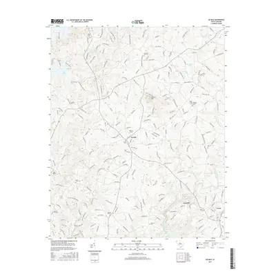 2017 Six Mile2017 Print · USGSSix Mile and the rolling foothills of Pickens County are captured here in the mid-2010s, showing a landscape shaped by both historic family settlements and modern recreation. Researchers can locate numerous local landmarks like Oakview Airport and several historic burial sites, including Old Kings Grove Cem and Praters Creek Cem.
 - 2020 Map of Liberty, 2020 Print
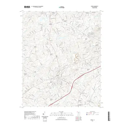 2020 Liberty2020 Print · USGSUpstate South Carolina is captured here in the early twenty-first century, showing the established communities of Liberty and Pickens. Genealogists can trace numerous historic burial sites, including the Carmel Presbyterian Church Graveyard and Hendricks Cemetery.
Showing maps 1-25 of 32
Top cities near Norris
- Anderson historical maps
- Easley historical maps
- Clemson historical maps
- Seneca historical maps
- Central historical maps
- Liberty historical maps
See more
Frequently asked questions
- What are the different types of historical maps available for Norris?
- What is the oldest map of Norris?
- Where can I purchase historical maps of Norris for my home or office?
- Where can I download high-res historical maps of Norris?
- Are there historical topographic maps available for Norris?
- Is there historical aerial imagery available for Norris?
- Where are historical maps of Norris sourced from?