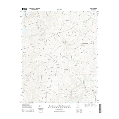
2014 Map of Six Mile
USGS Topo · Published 2014About this map
Six Mile and Norris anchor this landscape where the Piedmont hills of Pickens County transition between major water bodies. To the west, the expansive Lake Keowee dominates the terrain, while the southern edge is defined by the headwaters of Hartwell Lake and the smaller Issaqueena Lake. This area is characterized by a dense network of local roads and named family cemeteries, such as Mile Creek Cem and Kings Grove Cem, which serve as vital landmarks for genealogists tracing ancestral roots in the region.
Find a feature on this map
179 named features on this map. Tap any name to fly to it.
Don’t see what you’re looking for? This feature index may not catch every label — zoom into the map to look around manually.
Map Details
Editions of this 2014 Six Mile Map
This is the sole edition of this map. No revisions or reprints were ever made.
Other maps of this area

1888 · Pickens
USGS Topo · 1:125,000

1894 · Pickens
USGS Topo · 1:125,000

1951 · Clemson
USGS Topo · 1:24,000

1954 · Greenville
USGS Topo · 1:250,000

1957 · Anderson
USGS Topo · 1:62,500

1957 · Easley
USGS Topo · 1:62,500

1958 · Greenville
USGS Topo · 1:250,000

1958 · Seneca
USGS Topo · 1:24,000

1959 · Salem
USGS Topo · 1:24,000
1961 · Sunset
USGS Topo · 1:24,000