2020s Maps of Butte County, South Dakota
Explore 62 historic maps of Butte County from the 2020s. These maps offer a rare glimpse into what life looked like during the 2020s — showing old roads, neighborhoods, homes, and landmarks that have changed or disappeared over time.
Whether you're researching your family's past, planning a metal detecting trip, or studying how Butte County's landscape evolved across the 2020s, these high-resolution maps are a powerful tool for exploring the history of this region.
- Focus on a specific era: All maps on this page are from the 2020s, giving you a focused view of this time period.
- See what’s changed: Compare century-old streets, trails, and buildings to today's modern landscape using overlays and satellite layers.
- Research with precision: Use these maps for genealogy, historical research, land use analysis, or educational projects.
- View, download, or print: Maps are fully viewable online in high resolution, and can be downloaded or printed for your own records.
Start exploring Butte County's history through authentic maps from the 2020s. This is your window into the past.
Butte County, SD maps
(62)- 2020 Map of Elkhorn Creek East, 2020 Print
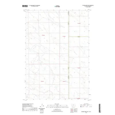 2020 Elkhorn Creek East2020 Print · USGSCovers Butte County, including Carter County, Harding County, and other nearby areas
 - 2020 Map of Elkhorn Creek SE, 2020 Print
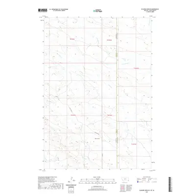 2020 Elkhorn Creek SE2020 Print · USGSCovers Butte County, including Carter County, United States, and other nearby areas
 - 2021 Map of Middle Creek Butte, 2021 Print
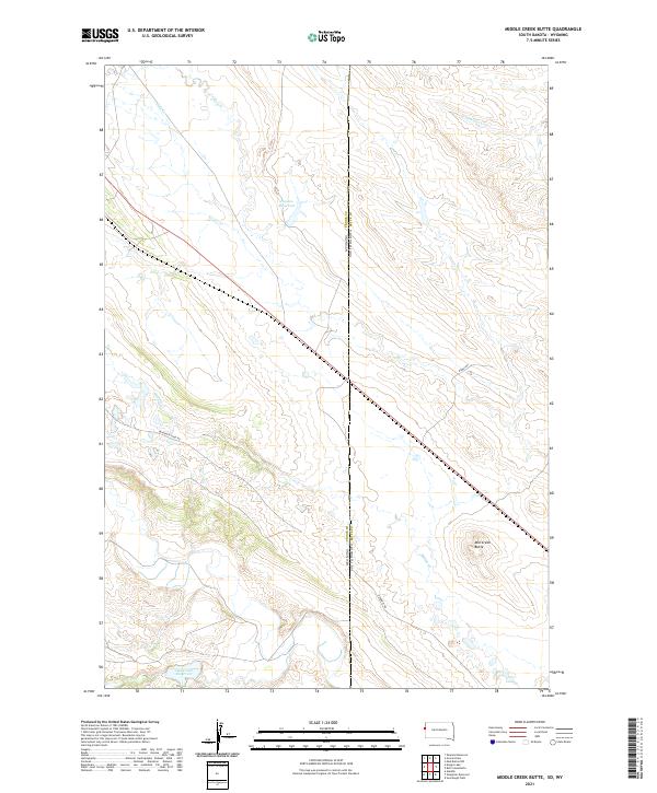 2021 Middle Creek Butte2021 Print · USGSThe high plains along the Wyoming and South Dakota border are shown here in the early twenty-first century. Researchers can trace industrial activity and water management across the state line via Bentonite Haul Rd and Oak Creek Reservoir.
 - 2021 Map of Slaughter Reservoir, 2021 Print
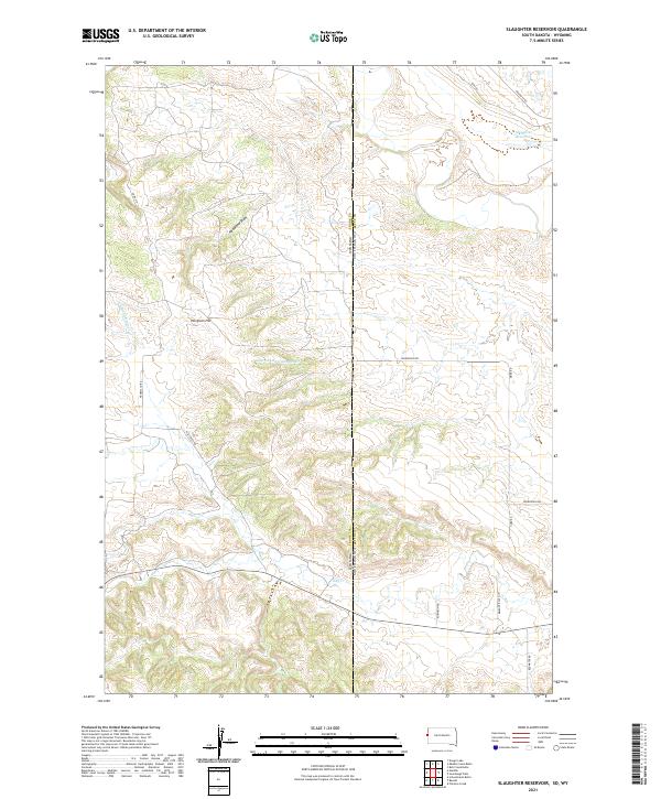 2021 Slaughter Reservoir2021 Print · USGSThe South Dakota and Wyoming border comes alive in the early 2020s, showing a landscape of high-plains ranching and complex watersheds. Researchers can trace the drainages of Hay Cr or locate rural landmarks like Norgrain Hill and the Slaughter Reservoir.
 - 2021 Map of Table Top Butte, 2021 Print
 2021 Table Top Butte2021 Print · USGSMeade and Butte counties are captured in the early 2020s, showing a high plains landscape of isolated buttes and seasonal creeks. Genealogists and local historians can trace the paths of Old Us Hwy 212 and find distinctive landmarks like Table Top Butte and Rattlesnake Butte.
 - 2021 Map of Fairpoint NW, 2021 Print
 2021 Fairpoint NW2021 Print · USGSMeade and Butte counties are captured here in the early 2020s, showing a landscape defined by the high plains drainage of Soft Water Cr. Researchers can trace the local topography around Elm Butte and follow the routes of Fair Point Rd and W Fairpoint Rd.
 - 2021 Map of Camp Creek, 2021 Print
 2021 Camp Creek2021 Print · USGSMeade and Butte counties meet in this 2021 survey of the South Dakota high plains, capturing a landscape defined by seasonal drainages and rural cross-country routes. Researchers can locate the Plum Draw Cem and the settlement of Sulphur near the junction of Co Hwy MC-28.
 - 2021 Map of Bull Creek Butte, 2021 Print
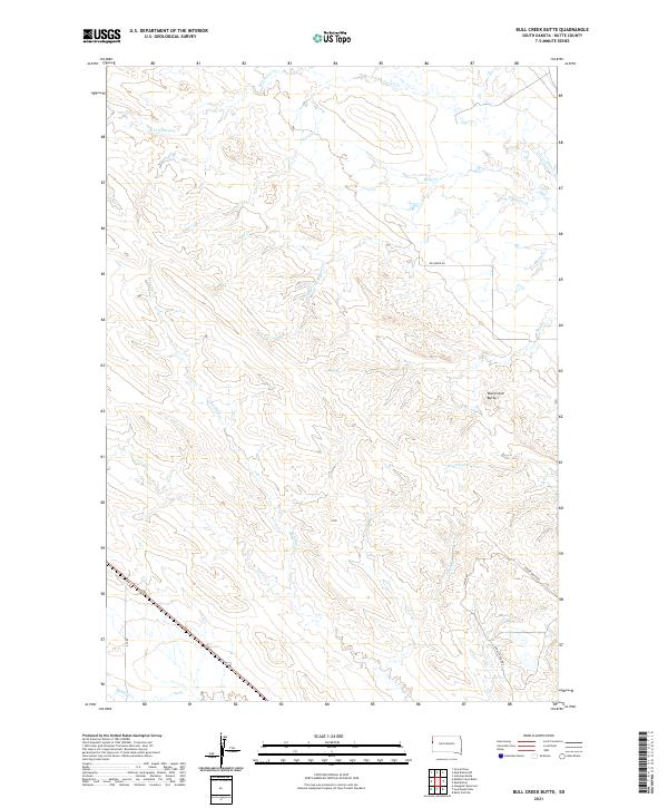 2021 Bull Creek Butte2021 Print · USGSButte County ranching lands and high plains geography are detailed here during the early twenty-first century. Researchers can trace remote transit routes and drainage networks through named features like Bull Creek Butte, Crow Creek Xing, and Waite Rd.
 - 2021 Map of Sourdough Flats, 2021 Print
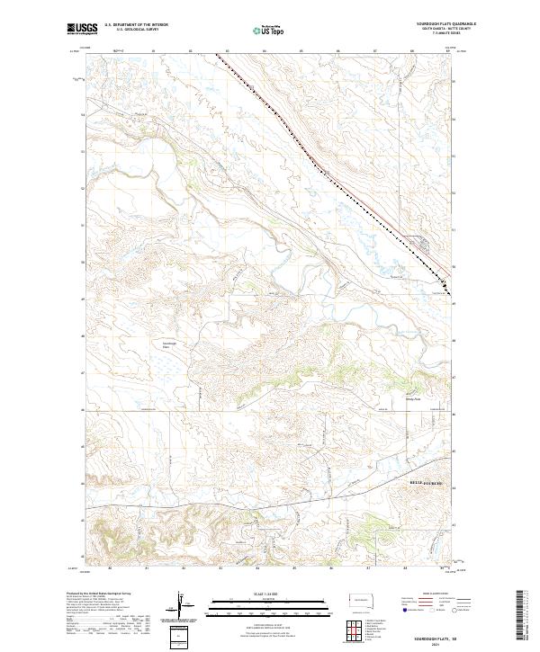 2021 Sourdough Flats2021 Print · USGSButte County ranching country comes into focus in this recent survey, showcasing the rural landscapes north of the Black Hills. Researchers can trace the winding course of the Belle Fourche River or locate family land near Sourdough Flats and Windy Flats.
 - 2021 Map of Fairpoint SW, 2021 Print
 2021 Fairpoint SW2021 Print · USGSMeade County ranching country is mapped here in the early 2020s, showing a landscape defined by its high ridges and seasonal drainages. Researchers can trace the winding paths of Elm Cr and Eightmile Cr or locate the Elm Butte Divide.
 - 2021 Map of Volunteer NW, 2021 Print
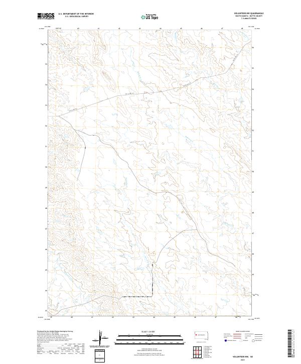 2021 Volunteer NW2021 Print · USGSButte County rangeland and its vital water network are documented here in the early 2020s. Genealogists and local historians can trace the route of Old Us Hwy 212 and the courses of Eightmile Creek and Mud Elm Creek.
 - 2021 Map of Volunteer NE, 2021 Print
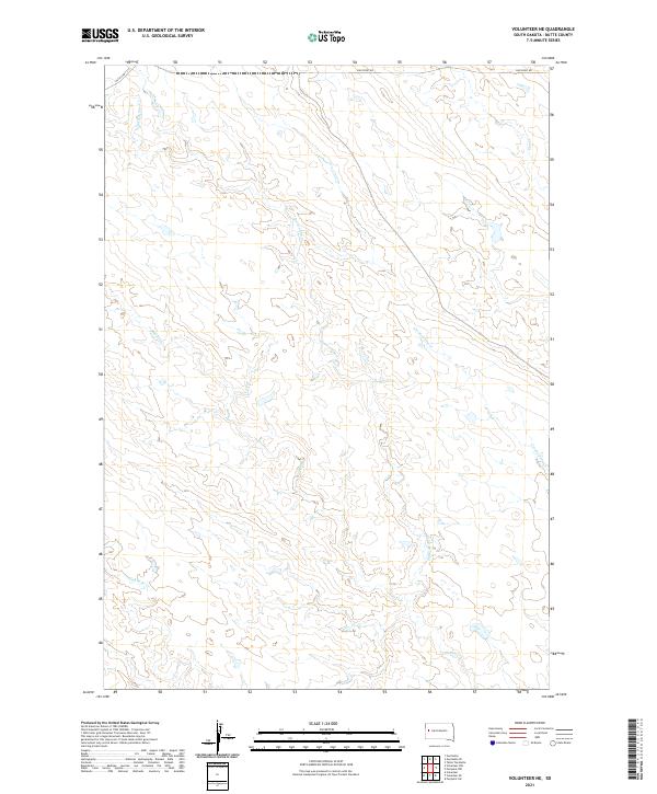 2021 Volunteer NE2021 Print · USGSButte County rangeland and the intricate drainage of the Elm Creek system are documented in this contemporary survey. Local historians and land researchers can trace the routes of Old Us Hwy 212 and the winding paths of Crooked Elm Cr and Eightmile Cr.
 - 2021 Map of Saint Onge SE, 2021 Print
 2021 Saint Onge SE2021 Print · USGSThe rural borders of Meade, Lawrence, and Butte counties are captured here in the early twenty-first century. Researchers can trace land divisions and water sources across Snake Bench and along the banks of Whitewood Cr and Crow Cr.
 - 2021 Map of Belle Fourche, 2021 Print
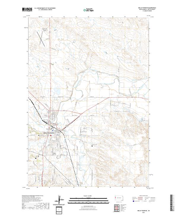 2021 Belle Fourche2021 Print · USGSBelle Fourche in the early 2020s remains the center of ranching and water rights in Butte County. Genealogists and historians can trace the town's expansion toward the Belle Fourche Municipal Airport and locate burial sites like Riverside Cem or the Butte County Courthouse.
 - 2021 Map of Owl Butte, 2021 Print
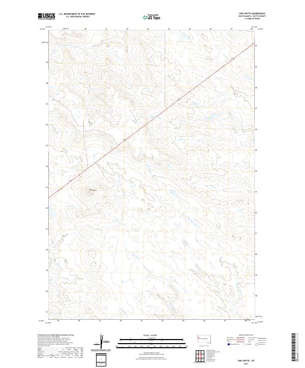 2021 Owl Butte2021 Print · USGSButte County rangeland and drainage systems are documented here in the early twenty-first century as the landscape remains largely open. Researchers can trace the paths of Station Elm Cr and Eightmile Cr while locating the prominent Owl Butte landmark.
 - 2021 Map of Mud Buttes NW, 2021 Print
 2021 Mud Buttes NW2021 Print · USGSButte County ranchlands are captured here in the early twenty-first century, showing a landscape shaped by vast township sections and seasonal watercourses. Genealogists and historians can trace local access routes like Albion Rd and landmarks such as Lonetree Cr or Opossum Hollow.
 - 2021 Map of Two Top Butte East, 2021 Print
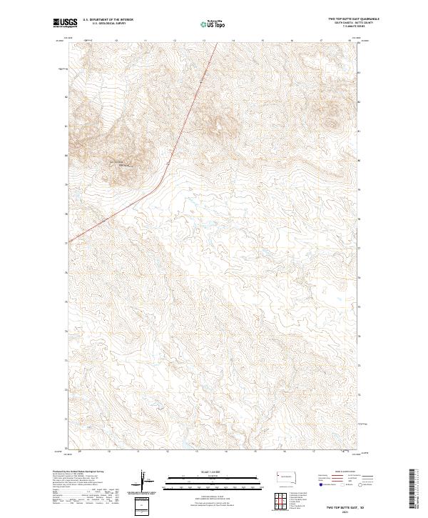 2021 Two Top Butte East2021 Print · USGSWestern South Dakota's open range is captured here in the early twenty-first century, showing a landscape defined by ranching and natural drainages. Researchers can trace land boundaries across T12N R4E and locate prominent heights like Two Top Peak and Two Top Butte.
 - 2021 Map of Newell, 2021 Print
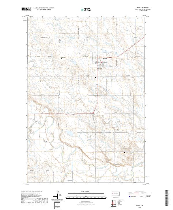 2021 Newell2021 Print · USGSThe northern plains around Newell are defined by a complex early 21st-century irrigation network supporting the Butte County agricultural community. Researchers can trace the water-management history of the Belle Fourche River valley through features like Calhoun Ditch, Newell Cem, and N Canal.
 - 2021 Map of Schoepp Flat, 2021 Print
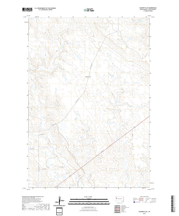 2021 Schoepp Flat2021 Print · USGSButte County ranching country is captured here in the early twenty-first century, showing the intersection of wide-open plains and local watercourses. Genealogists and historians can trace property boundaries and access routes like Old Twilight Rd, Schoepp Flat, and Willow Cr.
 - 2021 Map of Volunteer, 2021 Print
 2021 Volunteer2021 Print · USGSThe western South Dakota prairie at the start of the 2020s shows a landscape of wide river valleys and isolated rural outposts. Researchers can trace the drainage of the Belle Fourche River and find the small settlement of Volunteer near the mouth of Bear Butte Cr.
 - 2021 Map of Vale, 2021 Print
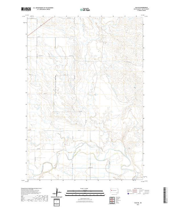
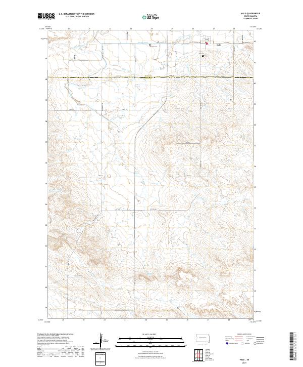 2021 Vale2021 Print · USGSVale and the surrounding Butte County ranchlands are documented here in the early twenty-first century, showing a landscape defined by an intricate network of irrigation. Genealogists can locate family sites near Old Vale Cem or trace the paths of S Canal and Ninemile Cr.
 - 2021 Map of Two Top Butte West, 2021 Print
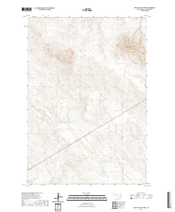 2021 Two Top Butte West2021 Print · USGSNorthwestern South Dakota's high plains are documented in the early twenty-first century, showing a landscape defined by ranch roads and natural landmarks. Researchers can trace drainage patterns along Hildebrand Cr or locate the namesake Two Top Butte.
 - 2021 Map of Arpan, 2021 Print
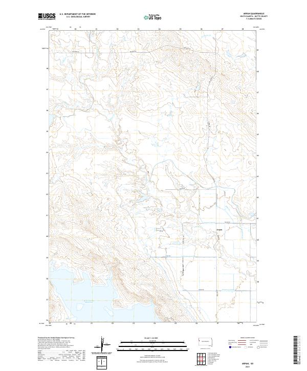 2021 Arpan2021 Print · USGSButte County agriculture and water management are on full display in this twenty-first-century survey near the Belle Fourche Reservoir. Researchers can trace the irrigation network from Arpan through the Arpan Lateral, Young Lateral, and Indian Cr drainage systems.
 - 2021 Map of Vale NE, 2021 Print
 2021 Vale NE2021 Print · USGSButte County agricultural lands are captured here in the early twenty-first century as irrigation systems dominate the landscape. Researchers can trace the path of the Belle Fourche River and identify local landmarks like Horse Cr and Old US Hwy 212.
 - 2021 Map of Antelope Butte, 2021 Print
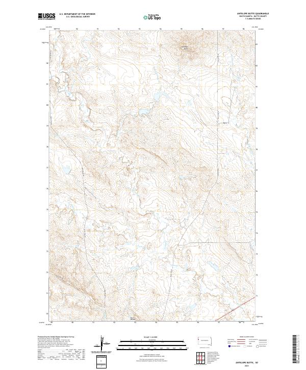 2021 Antelope Butte2021 Print · USGSButte County ranching country is mapped here in the early twenty-first century, showing the remote high plains of western South Dakota. Genealogists and historians can trace land tracts near Antelope Butte and locate old road alignments like Camp Crook Rd and Old US Hwy 85.
Showing maps 1-25 of 62
Top cities of Butte County
- Belle Fourche historical maps
- Newell historical maps
- Nisland historical maps
- Vale historical maps
- Fruitdale historical maps
Frequently asked questions
- What are the different types of historical maps available for Butte County?
- What is the oldest map of Butte County?
- Where can I purchase historical maps of Butte County for my home or office?
- Where can I download high-res historical maps of Butte County?
- Are there historical topographic maps available for Butte County?
- Is there historical aerial imagery available for Butte County?
- Where are historical maps of Butte County sourced from?