1970s Maps of Butte County, South Dakota
Explore 27 historic maps of Butte County from the 1970s. These maps offer a rare glimpse into what life looked like during the 1970s — showing old roads, neighborhoods, homes, and landmarks that have changed or disappeared over time.
Whether you're researching your family's past, planning a metal detecting trip, or studying how Butte County's landscape evolved across the 1970s, these high-resolution maps are a powerful tool for exploring the history of this region.
- Focus on a specific era: All maps on this page are from the 1970s, giving you a focused view of this time period.
- See what’s changed: Compare century-old streets, trails, and buildings to today's modern landscape using overlays and satellite layers.
- Research with precision: Use these maps for genealogy, historical research, land use analysis, or educational projects.
- View, download, or print: Maps are fully viewable online in high resolution, and can be downloaded or printed for your own records.
Start exploring Butte County's history through authentic maps from the 1970s. This is your window into the past.
Butte County, SD maps
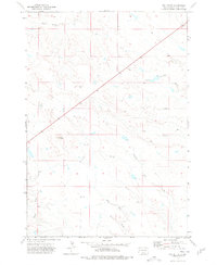
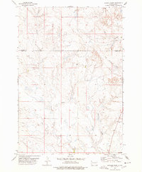
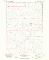
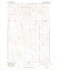
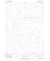
(27)- 1973 Map of Lone Tree Draw East, 1977 Print
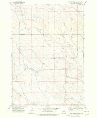 1973 Lone Tree Draw East1977 Print · USGSWestern South Dakota's ranching country is captured here in the early 1970s at the intersection of Butte and Harding Counties. Researchers can trace local landmarks like St Anthony Cem and the drainages of Sand Creek and Lone Tree Draw.
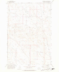
 - 1973 Map of Lone Tree Draw West, 1977 Print
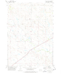
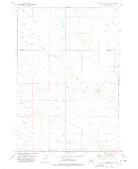
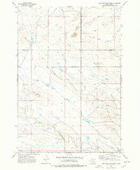 1973 Lone Tree Draw West1977 Print · USGSThe northern range of South Dakota is captured here in the early seventies, spanning the border of Harding and Butte counties. Researchers can trace the watercourses of South Fork Moreau River or locate landmarks like Crow Buttes and Macy Butte.
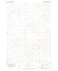
 - 1973 Map of Deers Ears Butte North, 1977 Print
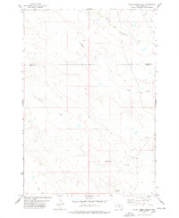
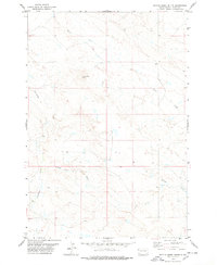
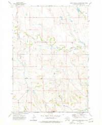 1973 Deers Ears Butte North1977 Print · USGSButte County ranching country is captured here in the early 1970s, showcasing a landscape of winding river forks and high buttes. Researchers can locate the Dakota Range School and trace the paths of the South Fork Moreau River and Spring Creek.
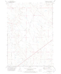
 - 1973 Map of Antelope Creek East, 1977 Print
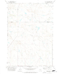
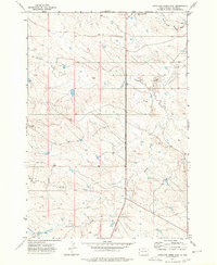 1973 Antelope Creek East1977 Print · USGSButte County ranchlands are captured here during the early seventies, showing a landscape defined by the drainage of the Moreau River. Researchers can trace the courses of Antelope Creek and Battle Creek, and locate features like the Gravel Pit.
 - 1973 Map of Owl Butte, 1978 Print
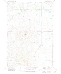
 1973 Owl Butte1978 Print · USGSThe Butte County high plains are captured here in the early 1970s, showcasing a landscape of intermittent streams and prominent landforms. Geologists and local historians can trace the paths of South Sulphur Creek and Elm Creek, or locate landmarks like Owl Butte.
 - 1973 Map of Haystack Butte, 1978 Print
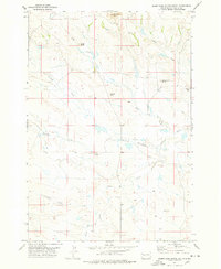
 1973 Haystack Butte1978 Print · USGSButte County land is mapped here in the early 1970s, showing a remote prairie landscape of prominent geological formations and isolated rural outposts. Local historians can trace early land use near Haystack Butte, the Moreau Sch, and Deschamps.2 unique versions available
 - 1977 Map of Hoover, 1978 Print
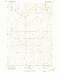 1977 Hoover1978 Print · USGSButte County rangeland in the late 1970s is defined by the convergence of major waterways at the settlement of Hoover. Researchers can trace the winding paths of the South Fork Moreau River, Bull Creek, and Hans Creek through this remote ranching territory.
 - 1977 Map of Castle Rock, 1978 Print
 1977 Castle Rock1978 Print · USGSThe open ranges of Butte County are captured here in the late 1970s, showing a landscape defined by ranching and prairie watercourses. Researchers can trace the drainage of Buck Pasture Creek and find family-named landmarks like Schummer and the prominent Castle Rock.
 - 1977 Map of Granger Creek, 1978 Print
 1977 Granger Creek1978 Print · USGSButte and Harding Counties appear in the late 1970s as a landscape of isolated rangeland and intricate drainage networks. Local historians can trace the rural infrastructure of the era, from the Cottonwood Sch to scattered sites like the Drill Hole and Well.
 - 1977 Map of Deers Ears Butte South, 1978 Print
 1977 Deers Ears Butte South1978 Print · USGSButte County ranching country is captured in the late seventies, showing a land shaped by drainage networks and isolated landmarks. Researchers can locate the Twilight Sch and trace water routes like Johns Creek or the North Double R Creek.
 - 1977 Map of Newell Lake, 1978 Print
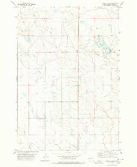 1977 Newell Lake1978 Print · USGSButte County's irrigation infrastructure and rural landscape are captured here during the mid-seventies. Trace the complex water distribution system of the North Canal alongside landmarks like Newell Lake and the winding Deadman Creek.
 - 1977 Map of Table Top Butte, 1978 Print
 1977 Table Top Butte1978 Print · USGSThe western South Dakota plains are captured in the late 1970s, showing the cattle-country landscape where Butte and Meade counties meet. Researchers can trace the drainages of Sulphur Creek and Soft Water Creek or locate landmarks like Table Top Butte.
 - 1977 Map of Antelope Creek West, 1978 Print
 1977 Antelope Creek West1978 Print · USGSThe open rangelands of Butte County are captured in the late 1970s, showing a landscape defined by traditional Western drainage patterns. Researchers can trace the courses of Antelope Creek, Battle Creek, and Fourmile Creek through this expansive territory.
 - 1977 Map of Owl Butte SE, 1978 Print
 1977 Owl Butte SE1978 Print · USGSButte County rangeland comes into focus during the late seventies, showing the ranching landscape of the South Dakota plains. Researchers can locate the settlement of Acme and trace the drainage paths of South Sulphur Creek and Elm Creek.
 - 1977 Map of Greasewood Draw, 1978 Print
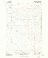
 1977 Greasewood Draw1978 Print · USGSThe northern plains of Butte County are captured here in the late seventies, showing a landscape of working ranches and remote drainages. Researchers can locate landmarks like Twin Dams, the cross-country Pipeline, and named waters like Frozen Horse Creek.
 - 1978 Map of Sulphur Butte
 1978 Sulphur Butte1978 Print · USGSWestern Butte County in the late seventies is shown here as a sparse ranching landscape centered on the prominent Sulphur Butte. Researchers can trace the winding paths of North Double R Creek, Frog Creek, and Lonetree Creek across these grazing lands.
 - 1978 Map of Schoepp Flat
 1978 Schoepp Flat1978 Print · USGSWestern Butte County in the late seventies is captured here as a landscape defined by its vital water systems. Researchers can trace the path of the North Canal and Lateral irrigation alongside natural features like Willow Creek and Schoepp Flat.
 - 1978 Map of Indian Butte
 1978 Indian Butte1978 Print · USGSThe high plains of the South Dakota borderlands are captured in the late seventies as cattle country meets modern utility expansion. Researchers can trace the drainage of the South Fork Moreau River and locate prominent landmarks like Indian Butte and Gustave Butte.
 - 1978 Map of Owl Butte NE
 1978 Owl Butte NE1978 Print · USGSButte County ranch lands in the late 1970s reveal a sparse, utilitarian landscape shaped by seasonal water and open range. Genealogists and local historians can trace landmarks such as Sulphur Creek, Doody Creek, and isolated infrastructure like a Well.
 - 1978 Map of Camp Creek
 1978 Camp Creek1978 Print · USGSThe rural expanse of the South Dakota plains comes into focus in the late 1970s at the Butte and Meade county line. Local historians can trace the foundations of this ranching community through landmarks like St Josephs Ch, Mud Butte Sch, and the Plum Draw Cem.
 - 1978 Map of Alkali Creek West
 1978 Alkali Creek West1978 Print · USGSThe borderlands of Butte and Harding County appear here in the late seventies, showing a landscape shaped by the South Fork Moreau River. Researchers can trace old fence lines and property divisions near Fourmile Butte and Alkali Creek.
 - 1978 Map of Porter Creek
 1978 Porter Creek1978 Print · USGSThe high plains along the Harding Co and Butte Co border are captured here in the late seventies. Researchers can trace the intricate drainage of the North Fork Moreau River and its tributaries like Porter Creek and Horse Creek.
 - 1978 Map of Fish Draw
 1978 Fish Draw1978 Print · USGSThe borderlands of Butte and Harding counties appear in the late seventies as a sparsely settled landscape defined by its intricate watercourses. Genealogists and researchers can trace natural landmarks like the North Fork Moreau River, Sweetwater Draw, and Cottonwood Creek.
 - 1978 Map of Alkali Creek East
 1978 Alkali Creek East1978 Print · USGSNorthwestern South Dakota's open range is captured in the late 1970s, where Butte and Harding counties meet along the Moreau River. Researchers can trace the winding paths of Alkali Creek, South Fork Moreau River, and Fourmile Creek through this ranching landscape.
 - 1978 Map of Battle Creek Butte
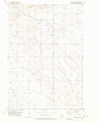
 1978 Battle Creek Butte1978 Print · USGSThe western South Dakota prairie is captured here in the late seventies, showing a landscape of open rangeland and intricate drainage basins. Researchers can trace the terrain around Battle Creek Butte and follow the seasonal flows of Battle Creek and Porcupine Creek.
Showing maps 1-25 of 27
Top cities of Butte County
- Belle Fourche historical maps
- Newell historical maps
- Nisland historical maps
- Vale historical maps
- Fruitdale historical maps
Frequently asked questions
- What are the different types of historical maps available for Butte County?
- What is the oldest map of Butte County?
- Where can I purchase historical maps of Butte County for my home or office?
- Where can I download high-res historical maps of Butte County?
- Are there historical topographic maps available for Butte County?
- Is there historical aerial imagery available for Butte County?
- Where are historical maps of Butte County sourced from?