Old Maps of Charles Mix County, South Dakota for Genealogy
Trace your family roots with 88 historic maps of Charles Mix County. These high-res maps reveal old neighborhoods, homesites, landmarks, and streets — helping you uncover where your ancestors lived and how the area evolved over time.
- Explore historic neighborhoods: Identify where your relatives may have lived in the 1800s or 1900s.
- Compare maps over time: Trace the changes in streets, buildings, and landmarks for multi-generational research.
- Perfect for genealogy & ancestry research: Used by family historians and researchers to map out lineage and migration.
These maps are an incredible resource for exploring your personal connection to Charles Mix County's past.
Charles Mix County, SD maps
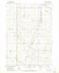
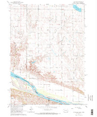
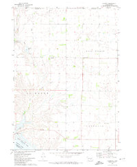
(88)- 1950 Map of Niobrara, 1952 Print
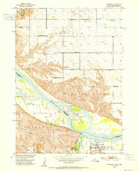 1950 Niobrara1952 Print · USGSCovers Charles Mix County, including Niobrara, Rouse Township, and other nearby areas2 unique versions available
 - 1950 Map of Verdel, 1952 Print
 1950 Verdel1952 Print · USGSCovers Charles Mix County, including Verdel, Rouse Township, and other nearby areas4 unique versions available
 - 1950 Map of Monowi, 1973 Print
 1950 Monowi1973 Print · USGSCovers Charles Mix County, including Monowi, Ree Township, and other nearby areas
 - 1952 Map of Monowi
 1952 Monowi1952 Print · USGSCovers Charles Mix County, including Monowi, Ree Township, and other nearby areas2 unique versions available
 - 1955 Map of Mitchell, 1973 Print
 1955 Mitchell1973 Print · USGSCovers Charles Mix County, including Mitchell, Winner, and other nearby areas2 unique versions available
 - 1955 Map of O'Neill, 1974 Print
 1955 O'Neill1974 Print · USGSCovers Charles Mix County, including O'Neill, Ainsworth, and other nearby areas2 unique versions available
 - 1959 Map of O'Neill
 1959 O'Neill1959 Print · USGSCovers Charles Mix County, including O'Neill, Ainsworth, and other nearby areas2 unique versions available
 - 1959 Map of Mitchell
 1959 Mitchell1959 Print · USGSCovers Charles Mix County, including Mitchell, Winner, and other nearby areas2 unique versions available
 - 1964 Map of Wagner NE, 1965 Print
 1964 Wagner NE1965 Print · USGSCovers Charles Mix County, including Howard Township, Bryan Township, and other nearby areas
 - 1964 Map of Ravinia, 1965 Print
 1964 Ravinia1965 Print · USGSCovers Charles Mix County, including Ravinia, Howard Township, and other nearby areas2 unique versions available
 - 1964 Map of Campbell Creek, 1965 Print
 1964 Campbell Creek1965 Print · USGSCovers Charles Mix County, including Jackson Township, Signal Township, and other nearby areas
 - 1964 Map of Whetstone Bay, 1965 Print
 1964 Whetstone Bay1965 Print · USGSCovers Charles Mix County, including Signal Township, Hamilton Township, and other nearby areas
 - 1964 Map of Lake Andes NW, 1965 Print
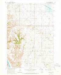
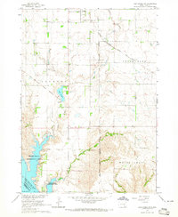 1964 Lake Andes NW1965 Print · USGSCovers Charles Mix County, including Geddes, Jackson Township, and other nearby areas2 unique versions available
 - 1964 Map of Fort Randall Dam, 1965 Print
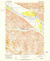
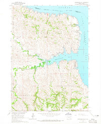
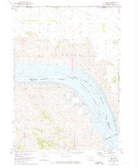
 1964 Fort Randall Dam1965 Print · USGSCovers Charles Mix County, including Pickstown, Fort Randall, and other nearby areas
 - 1964 Map of Lake Andes SW, 1965 Print
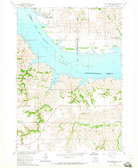 1964 Lake Andes SW1965 Print · USGSCovers Charles Mix County, including Jackson Township, White Swan Township, and other nearby areas
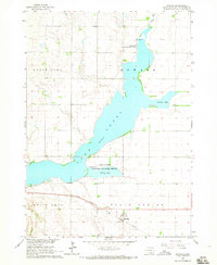
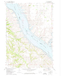
 - 1964 Map of Lake Andes, 1965 Print
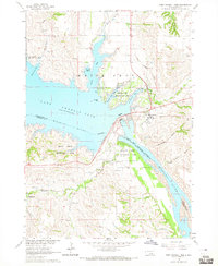
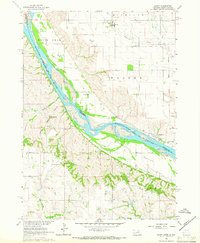
 1964 Lake Andes1965 Print · USGSCovers Charles Mix County, including Lake Andes, Dezera, and other nearby areas2 unique versions available
 - 1964 Map of Wagner, 1966 Print
 1964 Wagner1966 Print · USGSCovers Charles Mix County, including Wagner, Bryan Township, and other nearby areas2 unique versions available
 - 1964 Map of Lynch NE, 1966 Print
 1964 Lynch NE1966 Print · USGSCovers Charles Mix County, including Lawrence Township, Plain Center Township, and other nearby areas2 unique versions available
 - 1964 Map of Wagner SW, 1966 Print
 1964 Wagner SW1966 Print · USGSCovers Charles Mix County, including Plain Center Township, White Swan Township, and other nearby areas
 - 1964 Map of Marty, 1966 Print
 1964 Marty1966 Print · USGSCovers Charles Mix County, including Plain Center Township, White Swan Township, and other nearby areas2 unique versions available
 - 1969 Map of O'Neill
 1969 O'Neill1969 Print · USGSCovers Charles Mix County, including O'Neill, Ainsworth, and other nearby areas
 - 1971 Map of Lucas NW, 1974 Print
 1971 Lucas NW1974 Print · USGSCovers Charles Mix County, including America Township, Eagle Township, and other nearby areas
 - 1971 Map of Academy, 1974 Print
 1971 Academy1974 Print · USGSCovers Charles Mix County, including Pleasant Grove Township, Eagle Township, and other nearby areas
 - 1971 Map of Dixon NE, 1974 Print
 1971 Dixon NE1974 Print · USGSCovers Charles Mix County, including America Township, Milk's Camp Segment, and other nearby areas
 - 1971 Map of Lucas SE, 1974 Print
 1971 Lucas SE1974 Print · USGSCovers Charles Mix County, including Milk's Camp Segment, Hamilton Township, and other nearby areas
Showing maps 1-25 of 88
Top cities of Charles Mix County
Frequently asked questions
- What are the different types of historical maps available for Charles Mix County?
- What is the oldest map of Charles Mix County?
- Where can I purchase historical maps of Charles Mix County for my home or office?
- Where can I download high-res historical maps of Charles Mix County?
- Are there historical topographic maps available for Charles Mix County?
- Is there historical aerial imagery available for Charles Mix County?
- Where are historical maps of Charles Mix County sourced from?