Old Maps of Charles Mix County, South Dakota for Hiking & Exploration
Hike through history with 88 historic maps of Charles Mix County. Explore old trails, ghost towns, and forgotten backroads — perfect for outdoor adventurers and local explorers.
- Rediscover forgotten places: Map out old mining camps, roads, and footpaths that no longer exist on modern maps.
- Layer with modern tools: Combine with LiDAR or satellite views to plan hikes through historical terrain.
- Made for exploration: Popular among hikers, overlanders, and local history lovers.
Use these maps to find adventure and explore the hidden past of Charles Mix County.
Charles Mix County, SD maps
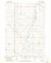
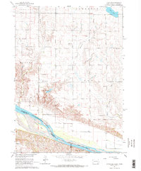
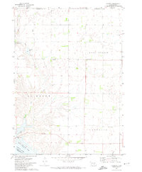
(88)- 1950 Map of Niobrara, 1952 Print
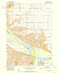 1950 Niobrara1952 Print · USGSCovers Charles Mix County, including Niobrara, Rouse Township, and other nearby areas2 unique versions available
 - 1950 Map of Verdel, 1952 Print
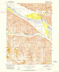 1950 Verdel1952 Print · USGSCovers Charles Mix County, including Verdel, Rouse Township, and other nearby areas4 unique versions available
 - 1950 Map of Monowi, 1973 Print
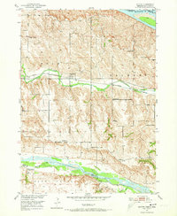 1950 Monowi1973 Print · USGSCovers Charles Mix County, including Monowi, Ree Township, and other nearby areas
 - 1952 Map of Monowi
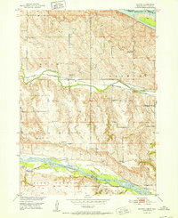 1952 Monowi1952 Print · USGSCovers Charles Mix County, including Monowi, Ree Township, and other nearby areas2 unique versions available
 - 1955 Map of Mitchell, 1973 Print
 1955 Mitchell1973 Print · USGSCovers Charles Mix County, including Mitchell, Winner, and other nearby areas2 unique versions available
 - 1955 Map of O'Neill, 1974 Print
 1955 O'Neill1974 Print · USGSCovers Charles Mix County, including O'Neill, Ainsworth, and other nearby areas2 unique versions available
 - 1959 Map of O'Neill
 1959 O'Neill1959 Print · USGSCovers Charles Mix County, including O'Neill, Ainsworth, and other nearby areas2 unique versions available
 - 1959 Map of Mitchell
 1959 Mitchell1959 Print · USGSCovers Charles Mix County, including Mitchell, Winner, and other nearby areas2 unique versions available
 - 1964 Map of Wagner NE, 1965 Print
 1964 Wagner NE1965 Print · USGSCovers Charles Mix County, including Howard Township, Bryan Township, and other nearby areas
 - 1964 Map of Ravinia, 1965 Print
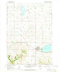
 1964 Ravinia1965 Print · USGSCovers Charles Mix County, including Ravinia, Howard Township, and other nearby areas2 unique versions available
 - 1964 Map of Campbell Creek, 1965 Print
 1964 Campbell Creek1965 Print · USGSCovers Charles Mix County, including Jackson Township, Signal Township, and other nearby areas
 - 1964 Map of Whetstone Bay, 1965 Print
 1964 Whetstone Bay1965 Print · USGSCovers Charles Mix County, including Signal Township, Hamilton Township, and other nearby areas
 - 1964 Map of Lake Andes NW, 1965 Print
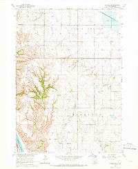
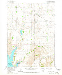 1964 Lake Andes NW1965 Print · USGSCovers Charles Mix County, including Geddes, Jackson Township, and other nearby areas2 unique versions available
 - 1964 Map of Fort Randall Dam, 1965 Print
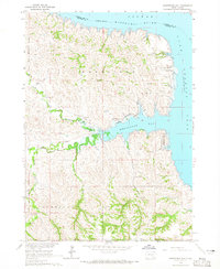
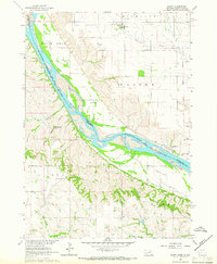
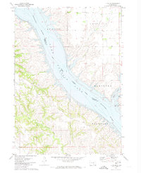
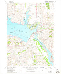 1964 Fort Randall Dam1965 Print · USGSCovers Charles Mix County, including Pickstown, Fort Randall, and other nearby areas
 - 1964 Map of Lake Andes SW, 1965 Print
 1964 Lake Andes SW1965 Print · USGSCovers Charles Mix County, including Jackson Township, White Swan Township, and other nearby areas
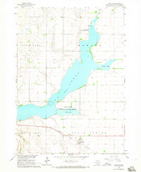
 - 1964 Map of Lake Andes, 1965 Print
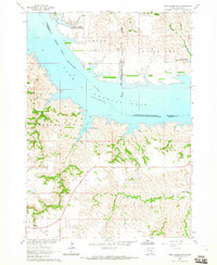
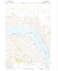
 1964 Lake Andes1965 Print · USGSCovers Charles Mix County, including Lake Andes, Dezera, and other nearby areas2 unique versions available
 - 1964 Map of Wagner, 1966 Print
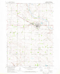 1964 Wagner1966 Print · USGSCovers Charles Mix County, including Wagner, Bryan Township, and other nearby areas2 unique versions available
 - 1964 Map of Lynch NE, 1966 Print
 1964 Lynch NE1966 Print · USGSCovers Charles Mix County, including Lawrence Township, Plain Center Township, and other nearby areas2 unique versions available
 - 1964 Map of Wagner SW, 1966 Print
 1964 Wagner SW1966 Print · USGSCovers Charles Mix County, including Plain Center Township, White Swan Township, and other nearby areas
 - 1964 Map of Marty, 1966 Print
 1964 Marty1966 Print · USGSCovers Charles Mix County, including Plain Center Township, White Swan Township, and other nearby areas2 unique versions available
 - 1969 Map of O'Neill
 1969 O'Neill1969 Print · USGSCovers Charles Mix County, including O'Neill, Ainsworth, and other nearby areas
 - 1971 Map of Lucas NW, 1974 Print
 1971 Lucas NW1974 Print · USGSCovers Charles Mix County, including America Township, Eagle Township, and other nearby areas
 - 1971 Map of Academy, 1974 Print
 1971 Academy1974 Print · USGSCovers Charles Mix County, including Pleasant Grove Township, Eagle Township, and other nearby areas
 - 1971 Map of Dixon NE, 1974 Print
 1971 Dixon NE1974 Print · USGSCovers Charles Mix County, including America Township, Milk's Camp Segment, and other nearby areas
 - 1971 Map of Lucas SE, 1974 Print
 1971 Lucas SE1974 Print · USGSCovers Charles Mix County, including Milk's Camp Segment, Hamilton Township, and other nearby areas
Showing maps 1-25 of 88
Top cities of Charles Mix County
Frequently asked questions
- What are the different types of historical maps available for Charles Mix County?
- What is the oldest map of Charles Mix County?
- Where can I purchase historical maps of Charles Mix County for my home or office?
- Where can I download high-res historical maps of Charles Mix County?
- Are there historical topographic maps available for Charles Mix County?
- Is there historical aerial imagery available for Charles Mix County?
- Where are historical maps of Charles Mix County sourced from?