2000s (21st Century) Maps of Fuller Township, South Dakota
Explore 16 historic maps of Fuller Township from the 2000s (21st Century). These maps offer a rare glimpse into what life looked like during the 2000s — showing old roads, neighborhoods, homes, and landmarks that have changed or disappeared over time.
Whether you're researching your family's past, planning a metal detecting trip, or studying how Fuller Township's landscape evolved across the 2000s, these high-resolution maps are a powerful tool for exploring the history of this region.
- Focus on a specific era: All maps on this page are from the 2000s, giving you a focused view of this time period.
- See what’s changed: Compare century-old streets, trails, and buildings to today's modern landscape using overlays and satellite layers.
- Research with precision: Use these maps for genealogy, historical research, land use analysis, or educational projects.
- View, download, or print: Maps are fully viewable online in high resolution, and can be downloaded or printed for your own records.
Start exploring Fuller Township's history through authentic maps from the 2000s. This is your window into the past.
Fuller Township, SD maps
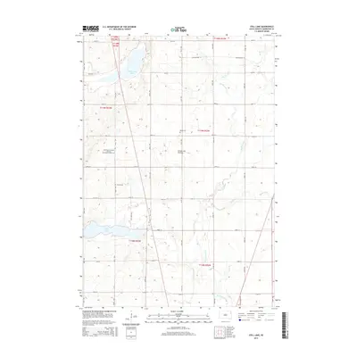
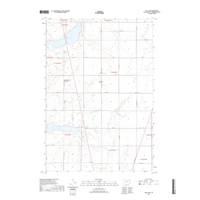
(16)- 2012 Map of Still Lake, 2012 Print
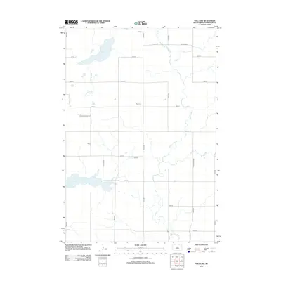 2012 Still Lake2012 Print · USGSCovers Fuller Township, including Germantown Township, Enemy Swim District, and other nearby areas
 - 2012 Map of Kampeska, 2012 Print
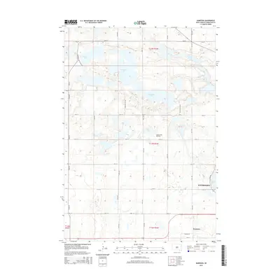
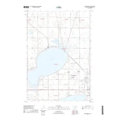
 2012 Kampeska2012 Print · USGSCovers Fuller Township, including Watertown, Kampeska, and other nearby areas
 - 2012 Map of Watertown West, 2012 Print
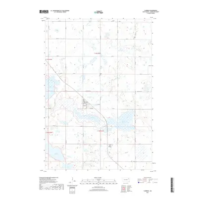
 2012 Watertown West2012 Print · USGSCovers Fuller Township, including Watertown, Enemy Swim District, and other nearby areas
 - 2012 Map of Florence, 2012 Print
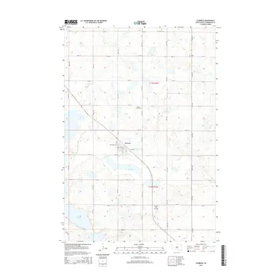
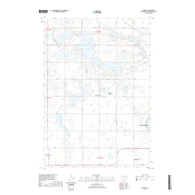
 2012 Florence2012 Print · USGSCovers Fuller Township, including Florence, Eden Township, and other nearby areas
 - 2015 Map of Still Lake, 2015 Print
 2015 Still Lake2015 Print · USGSCovers Fuller Township, including Germantown Township, Enemy Swim District, and other nearby areas
 - 2015 Map of Florence, 2015 Print
 2015 Florence2015 Print · USGSCovers Fuller Township, including Florence, Eden Township, and other nearby areas
 - 2015 Map of Kampeska, 2015 Print
 2015 Kampeska2015 Print · USGSCovers Fuller Township, including Watertown, Kampeska, and other nearby areas
 - 2015 Map of Watertown West, 2015 Print
 2015 Watertown West2015 Print · USGSCovers Fuller Township, including Watertown, Enemy Swim District, and other nearby areas
 - 2017 Map of Watertown West, 2017 Print
 2017 Watertown West2017 Print · USGSCovers Fuller Township, including Watertown, Enemy Swim District, and other nearby areas
 - 2017 Map of Kampeska, 2017 Print
 2017 Kampeska2017 Print · USGSCovers Fuller Township, including Watertown, Kampeska, and other nearby areas
 - 2017 Map of Florence, 2017 Print
 2017 Florence2017 Print · USGSCovers Fuller Township, including Florence, Eden Township, and other nearby areas
 - 2017 Map of Still Lake, 2017 Print
 2017 Still Lake2017 Print · USGSCovers Fuller Township, including Germantown Township, Enemy Swim District, and other nearby areas
 - 2021 Map of Still Lake, 2021 Print
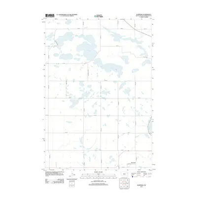
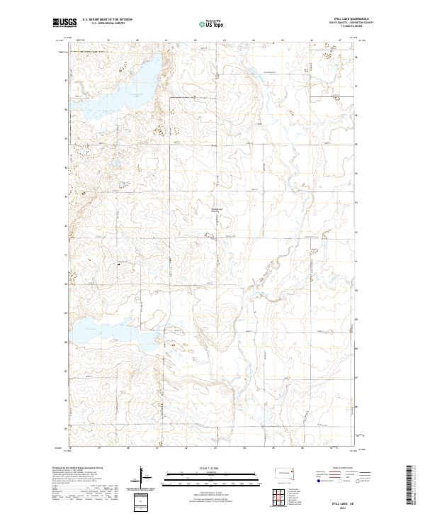 2021 Still Lake2021 Print · USGSCodington County's glacial landscape is captured here in the early twenty-first century, showing the intricate headwaters of the Big Sioux River. Genealogists and researchers can locate the Esterly Cem and trace the drainage patterns near Still Lake and Cottonwood Lake.
 - 2021 Map of Florence, 2021 Print
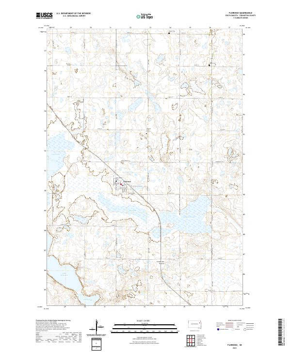 2021 Florence2021 Print · USGSThe Codington County prairie surrounding Florence is documented here during the early twenty-first century. Genealogists and local historians can locate specific burial sites like New Helgen Cem and the solitary Gautsch Child Grave near Dry Lake.
 - 2021 Map of Kampeska, 2021 Print
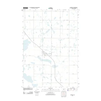
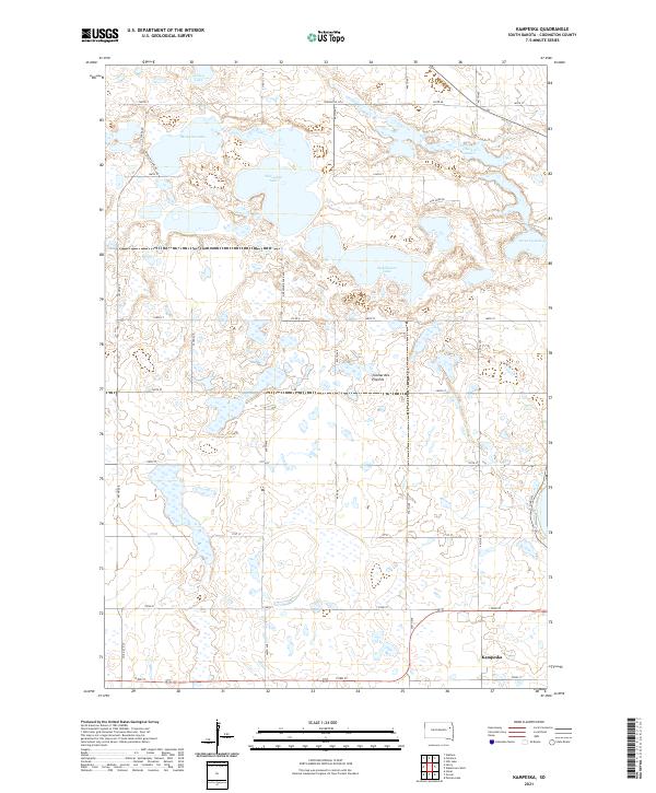 2021 Kampeska2021 Print · USGSCovers Fuller Township, including Watertown, Kampeska, and other nearby areas
 - 2021 Map of Watertown West, 2021 Print
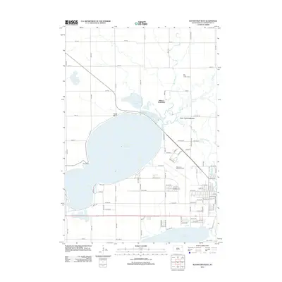
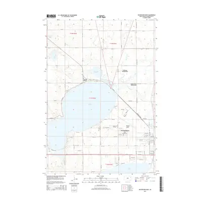
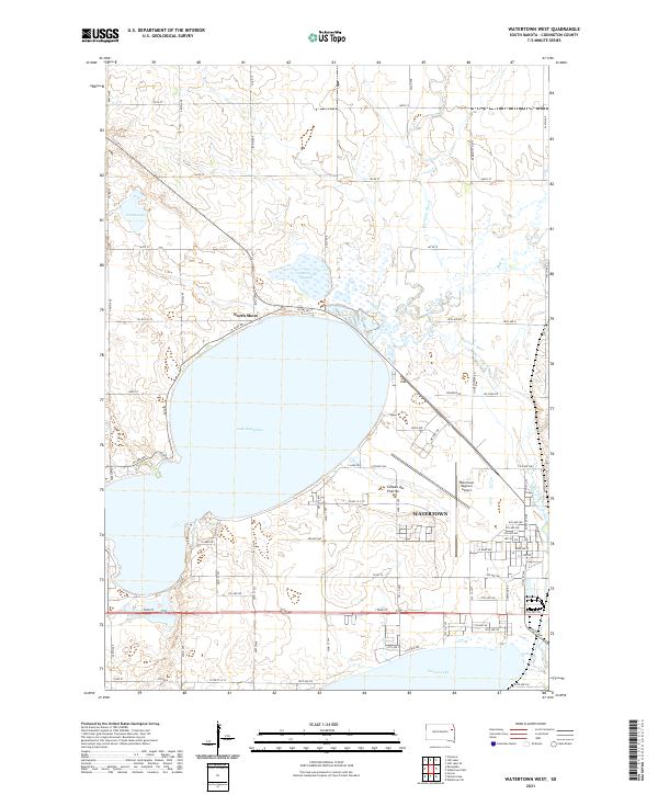 2021 Watertown West2021 Print · USGSThe glacial waters of Lake Kampeska and the growing city of Watertown define this eastern South Dakota landscape in the early 2020s. Researchers can trace the modern development of the Watertown Regional Airport and the riparian corridor of the Big Sioux River.
End of results
Showing maps 1-16 of 16
Top cities near Fuller Township
- Watertown historical maps
- Rauville historical maps
- Florence historical maps
- Kampeska historical maps
- Henry historical maps
- Wallace historical maps
Top neighborhoods of Fuller Township
Frequently asked questions
- What are the different types of historical maps available for Fuller Township?
- What is the oldest map of Fuller Township?
- Where can I purchase historical maps of Fuller Township for my home or office?
- Where can I download high-res historical maps of Fuller Township?
- Are there historical topographic maps available for Fuller Township?
- Is there historical aerial imagery available for Fuller Township?
- Where are historical maps of Fuller Township sourced from?