2010s Maps of McLaughlin, South Dakota
Explore 27 historic maps of McLaughlin from the 2010s. These maps offer a rare glimpse into what life looked like during the 2010s — showing old roads, neighborhoods, homes, and landmarks that have changed or disappeared over time.
Whether you're researching your family's past, planning a metal detecting trip, or studying how McLaughlin's landscape evolved across the 2010s, these high-resolution maps are a powerful tool for exploring the history of this region.
- Focus on a specific era: All maps on this page are from the 2010s, giving you a focused view of this time period.
- See what’s changed: Compare century-old streets, trails, and buildings to today's modern landscape using overlays and satellite layers.
- Research with precision: Use these maps for genealogy, historical research, land use analysis, or educational projects.
- View, download, or print: Maps are fully viewable online in high resolution, and can be downloaded or printed for your own records.
Start exploring McLaughlin's history through authentic maps from the 2010s. This is your window into the past.
McLaughlin, SD maps
(27)- 2011 Map of Mahto NW, 2011 Print
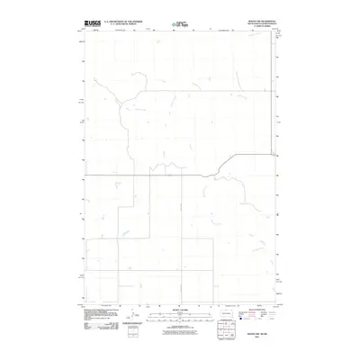 2011 Mahto NW2011 Print · USGSThe rural expanse of the Dakotas borderland in the early twenty-first century is captured here in this survey of open range and prairie drainages. Genealogists and local researchers can trace the routes of Joe Bush Creek, Blackfoot Creek, and County Rd 5.
 - 2011 Map of McLaughlin NE, 2011 Print
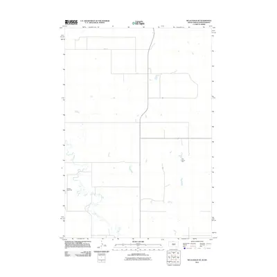 2011 McLaughlin NE2011 Print · USGSThis part of Corson County near the North Dakota border shows a remote plains landscape during the early twenty-first century. Genealogists and local historians can locate family-named infrastructure such as Gustave Aman Dam and TW Lyman Dam along the course of Oak Creek.
 - 2011 Map of Maple Leaf, 2011 Print
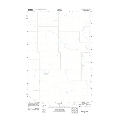 2011 Maple Leaf2011 Print · USGSThe northern Great Plains borderlands appear in high detail during the early 2000s, showing the intersection of tribal land and rural homesteads. Genealogists and historians can trace the paths of Oak Creek and locate the community of Maple Leaf or the Standing Rock Tribe Dam.
 - 2012 Map of McLaughlin, 2012 Print
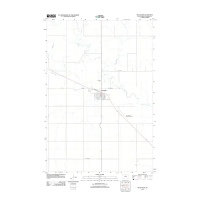 2012 McLaughlin2012 Print · USGSMcLaughlin and the surrounding Corson County prairie are captured here in the early twenty-first century, showcasing the town's organized grid and rural connections. Researchers can trace local landmarks like the Protestant Cem and follow the winding course of Oak Cr across the landscape.
 - 2012 Map of Mahto, 2012 Print
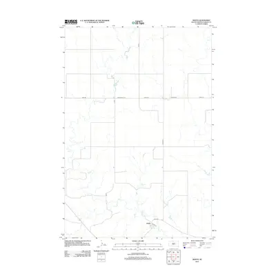 2012 Mahto2012 Print · USGSCorson County plains in the early 2010s are defined by isolated settlements and a vast network of rural section-line roads. Genealogists and local historians can locate the community of Mahto and trace its layout along Railway St and Mahto Rd.
 - 2012 Map of Little Eagle, 2012 Print
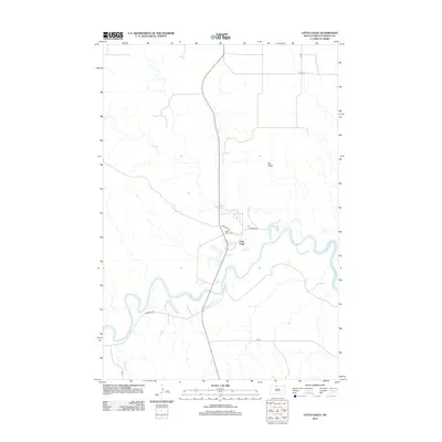 2012 Little Eagle2012 Print · USGSThe Standing Rock Reservation settlement of Little Eagle is depicted here in the early 2010s, nestled along the winding Grand River. Genealogists and local historians can trace the community's layout and locate the Saint Pauls Cem and landmarks like Elk Butte.
 - 2012 Map of McLaughlin SW, 2012 Print
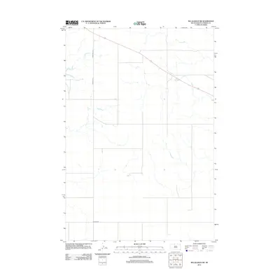 2012 McLaughlin SW2012 Print · USGSCorson County's wide-open terrain in the early twenty-first century is captured through its network of vital rural thoroughfares. Researchers can trace the path of Corson Road 13-1 and Bullhead Rd across a landscape defined by seasonal drainages.
 - 2012 Map of Wakpala NW, 2012 Print
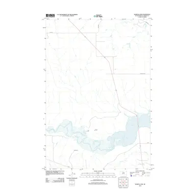 2012 Wakpala NW2012 Print · USGSCorson County's prairie and river systems are captured here in the early twenty-first century as the Missouri River valley transitions into the Standing Rock region. Researchers can locate specific sites such as Sacred Heart Cem, Long Hill Cem, and the path of Deep Bank Cr.
 - 2012 Map of Maple Leaf, 2012 Print
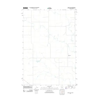 2012 Maple Leaf2012 Print · USGSThe prairie landscape surrounding Maple Leaf is captured here during the early twenty-first century, showing the intersection of local ranching life and northern plains geography. Researchers can trace the winding course of Oak Cr and the network of section-line roads like 24th St and Co Rd-13-2.
 - 2012 Map of McLaughlin NE, 2012 Print
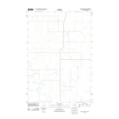 2012 McLaughlin NE2012 Print · USGSThe open borderlands of South Dakota and North Dakota are documented in this early twenty-first-century survey. Genealogists and researchers can trace the winding course of Oak Creek and the long-established rural road network along 89th St.
 - 2012 Map of Mahto NW, 2012 Print
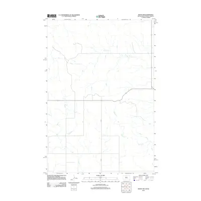 2012 Mahto NW2012 Print · USGSThe open prairie of the South Dakota and North Dakota border comes into focus in this early twenty-first-century survey. Researchers can trace the winding paths of Joe Bush Cr and Blackfoot Cr as they navigate the rural corridors along Co Rd-5.
 - 2015 Map of McLaughlin SW, 2015 Print
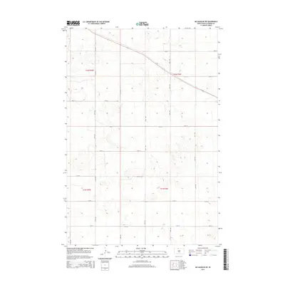 2015 McLaughlin SW2015 Print · USGSCorson County’s rural landscape is defined by its rigid section-line grid in the mid-2010s. Researchers can trace the exact layout of agricultural boundaries and local routes such as 108th St and 259th Ave.
 - 2015 Map of Mahto, 2015 Print
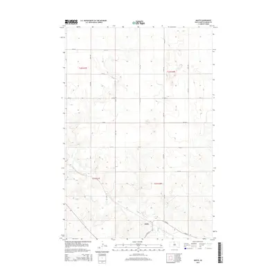 2015 Mahto2015 Print · USGSThe rural landscape of Corson County is shown here in the mid-2010s, centered on the settlement of Mahto. Researchers can trace the path of Oak Cr and the local road network including Bia Rd 44 and 113th St through the Standing Rock Reservation.
 - 2015 Map of McLaughlin, 2015 Print
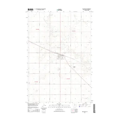 2015 McLaughlin2015 Print · USGSMcLaughlin sits at a vital crossroads in Corson County during the early twenty-first century. Family historians and local researchers can trace the town's footprint, from the Protestant Cem to the regional activity at Mc Laughlin Municipal Airport.
 - 2015 Map of McLaughlin NE, 2015 Print
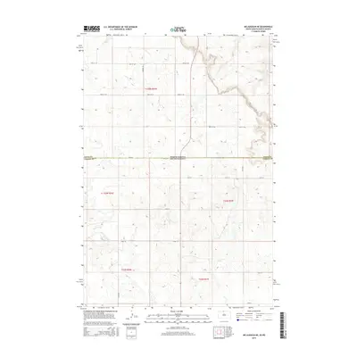 2015 McLaughlin NE2015 Print · USGSThe border between North Dakota and South Dakota divides this vast prairie landscape during the mid-2010s. Genealogists and land historians can trace property lines and section boundaries along Oak Creek and through the townships of T23N R27E and Sioux County.
 - 2015 Map of Maple Leaf, 2015 Print
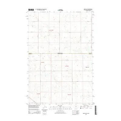 2015 Maple Leaf2015 Print · USGSThe borderlands of the Dakotas appear here in the mid-2010s, defined by the rural settlement of Maple Leaf and the winding path of Oak Cr. Researchers can trace the intersection of Sioux Co and Corson Co along local routes like 100th St SW.
 - 2015 Map of Little Eagle, 2015 Print
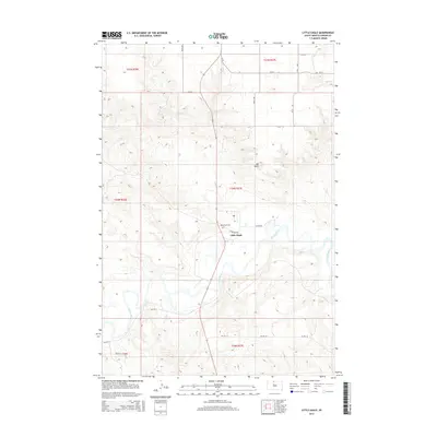 2015 Little Eagle2015 Print · USGSThe community of Little Eagle stands along the Grand River in the mid-2010s, showing the intersection of modern BIA roads and traditional landmarks. Genealogists and local historians can locate Saint Pauls Cem and the distinctive profile of Elk Butte.
 - 2015 Map of Wakpala NW, 2015 Print
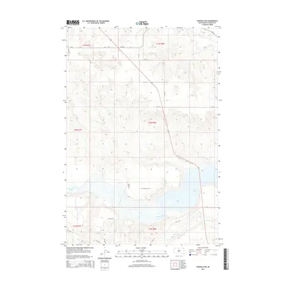 2015 Wakpala NW2015 Print · USGSCorson County land south of McLaughlin is shown here in the mid-2010s as the prairie meets the reservoir waters. Genealogists and historians can locate Sacred Heart Cem and Long Hill Cem near the banks of the Grand River.
 - 2015 Map of Mahto NW, 2015 Print
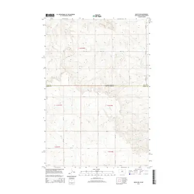 2015 Mahto NW2015 Print · USGSThe North Dakota-South Dakota state line divides this high-plains landscape in the mid-2010s, where the Missouri River watershed begins its slow descent. Researchers can trace the section-line roads across Sioux Co and follow the drainage of Joe Bush Cr and Blackfoot Cr.
 - 2017 Map of McLaughlin NE, 2017 Print
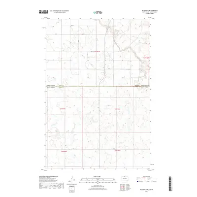 2017 McLaughlin NE2017 Print · USGSThe North Dakota and South Dakota borderlands are captured here in the late twenty-teens, showing the rural landscape where Sioux Co meets Corson Co. Trace the path of Oak Creek and the section-line roads like 100th St.
 - 2017 Map of Mahto, 2017 Print
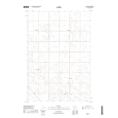 2017 Mahto2017 Print · USGSThe northern plains of Corson County are captured here in the late twenty-teens, revealing the remote ranching landscape around the community of Mahto. Genealogists and local historians can trace the course of Oak Cr and the rural road network including Kenel Rd.
 - 2017 Map of Maple Leaf, 2017 Print
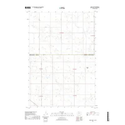 2017 Maple Leaf2017 Print · USGSThe North Dakota and South Dakota borderlands are captured here in the late twenty-teens, showing the intersection of SIOUX CO and CORSON CO. Researchers can trace rural routes like Co Rd 13-2 and locate the settlement at Maple Leaf near the banks of Oak Cr.
 - 2017 Map of McLaughlin, 2017 Print
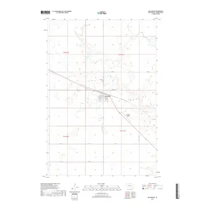 2017 McLaughlin2017 Print · USGSCorson County is seen here in the late 2010s, centered on the grid of McLaughlin and its surrounding prairie coulees. Genealogists and historians can trace the town's layout and nearby landmarks like the Protestant Cem and Oak Cr.
 - 2017 Map of Little Eagle, 2017 Print
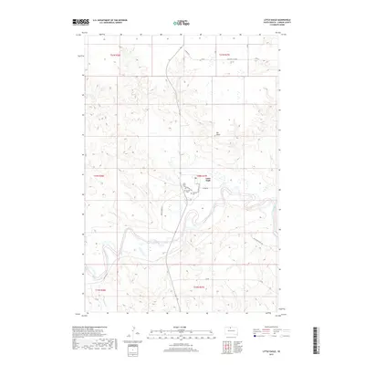 2017 Little Eagle2017 Print · USGSThe community of Little Eagle is shown along the winding Grand River in the Standing Rock region during the late 2010s. Researchers can trace local landmarks like Saint Pauls Cem and the high point of Elk Butte in this corner of Corson County.
 - 2017 Map of McLaughlin SW, 2017 Print
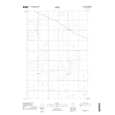 2017 McLaughlin SW2017 Print · USGSCorson County is mapped in the early twenty-first century, showing the organized section-line road network of the northern plains. Local history researchers can trace travel routes and property boundaries along Co Rd 13-1, 108th St, and 257th Ave.
Showing maps 1-25 of 27
Top cities near McLaughlin
- McLaughlin historical maps
- Wakpala historical maps
- Fort Yates District historical maps
- Selfridge historical maps
Top neighborhoods of McLaughlin
Frequently asked questions
- What are the different types of historical maps available for McLaughlin?
- What is the oldest map of McLaughlin?
- Where can I purchase historical maps of McLaughlin for my home or office?
- Where can I download high-res historical maps of McLaughlin?
- Are there historical topographic maps available for McLaughlin?
- Is there historical aerial imagery available for McLaughlin?
- Where are historical maps of McLaughlin sourced from?