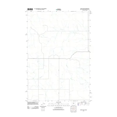
2012 Map of Mahto NW
USGS Topo · Published 2012About this map
The rolling prairies of northern Corson County are defined by a network of drainage systems flowing toward the Missouri River basin. Principal among these is Joe Bush Cr, which meanders across the central portion of the landscape, while the southern reaches are marked by the presence of Blackfoot Cr. In the far northern corner, Fireheart Cr barely crosses the boundary into this territory from North Dakota. The area is characterized by its agricultural geometry, where the sparsely distributed infrastructure is anchored by Co Rd-5. This 2012 survey illustrates a landscape of intermittent watercourses and section-line roads, typical of the rural standing of the Standing Rock Reservation area at the beginning of the twenty-first century.
Find a feature on this map
4 named features on this map. Tap any name to fly to it.
Don’t see what you’re looking for? This feature index may not catch every label — zoom into the map to look around manually.
Map Details
Editions of this 2012 Mahto NW Map
This is the sole edition of this map. No revisions or reprints were ever made.
Other maps of this area

1953 · McIntosh
USGS Topo · 1:250,000

1954 · Bismarck
USGS Topo · 1:250,000

1958 · Bismarck
USGS Topo · 1:250,000

1958 · McIntosh
USGS Topo · 1:250,000

1966 · Mahto NE
USGS Topo · 1:24,000

1966 · McLaughlin
USGS Topo · 1:24,000

1966 · McLaughlin NE
USGS Topo · 1:24,000

1966 · Mahto
USGS Topo · 1:24,000

1966 · Mahto NW
USGS Topo · 1:24,000

1966 · Kline Buttes
USGS Topo · 1:24,000