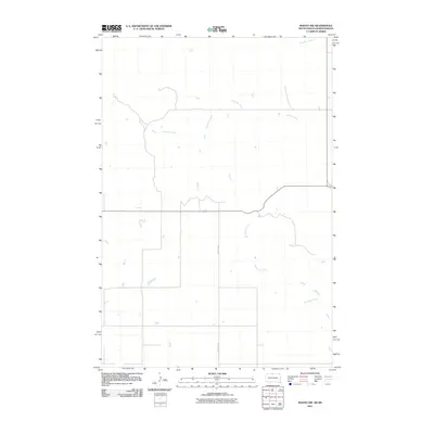
2011 Map of Mahto NW
USGS Topo · Published 2011About this map
Joe Bush Creek meanders through this portion of the Standing Rock Reservation area, carving a network of drainage channels across the high plains. The landscape is defined by its subtle watercourses, including the upper reaches of Blackfoot Creek and the northward flow of Fireheart Creek. This 2011 survey reveals a sparsely developed environment where transportation is anchored by County Rd 5, which provides a primary north-south corridor through the open grasslands. The map's detail on minor hydrography and small reservoirs illustrates the vital role of water management in this rural corridor of Corson County and the Dakotas borderland.
Find a feature on this map
4 named features on this map. Tap any name to fly to it.
Don’t see what you’re looking for? This feature index may not catch every label — zoom into the map to look around manually.
Map Details
Editions of this 2011 Mahto NW Map
This is the sole edition of this map. No revisions or reprints were ever made.
Other maps of this area

1953 · McIntosh
USGS Topo · 1:250,000

1954 · Bismarck
USGS Topo · 1:250,000

1958 · Bismarck
USGS Topo · 1:250,000

1958 · McIntosh
USGS Topo · 1:250,000

1966 · Mahto NE
USGS Topo · 1:24,000

1966 · McLaughlin
USGS Topo · 1:24,000

1966 · McLaughlin NE
USGS Topo · 1:24,000

1966 · Mahto
USGS Topo · 1:24,000

1966 · Mahto NW
USGS Topo · 1:24,000

1966 · Kline Buttes
USGS Topo · 1:24,000