2000s (21st Century) Maps of Valley Township, South Dakota
Explore 16 historic maps of Valley Township from the 2000s (21st Century). These maps offer a rare glimpse into what life looked like during the 2000s — showing old roads, neighborhoods, homes, and landmarks that have changed or disappeared over time.
Whether you're researching your family's past, planning a metal detecting trip, or studying how Valley Township's landscape evolved across the 2000s, these high-resolution maps are a powerful tool for exploring the history of this region.
- Focus on a specific era: All maps on this page are from the 2000s, giving you a focused view of this time period.
- See what’s changed: Compare century-old streets, trails, and buildings to today's modern landscape using overlays and satellite layers.
- Research with precision: Use these maps for genealogy, historical research, land use analysis, or educational projects.
- View, download, or print: Maps are fully viewable online in high resolution, and can be downloaded or printed for your own records.
Start exploring Valley Township's history through authentic maps from the 2000s. This is your window into the past.
Valley Township, SD maps
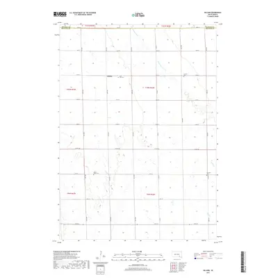
(16)- 2012 Map of Hillside, 2012 Print
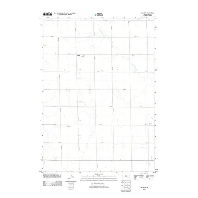 2012 Hillside2012 Print · USGSCovers Valley Township, including Washington Township, Garfield Township, and other nearby areas
 - 2012 Map of Delmont, 2012 Print
 2012 Delmont2012 Print · USGSCovers Valley Township, including Delmont, East Choteau Township, and other nearby areas
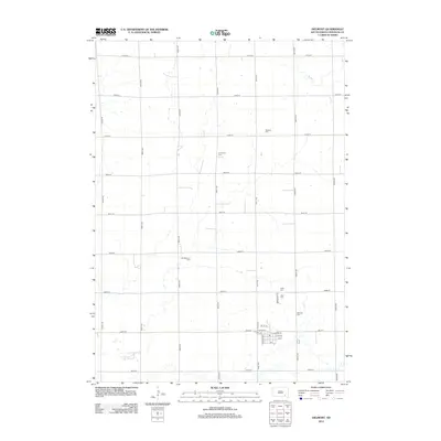
 - 2012 Map of Armour, 2012 Print
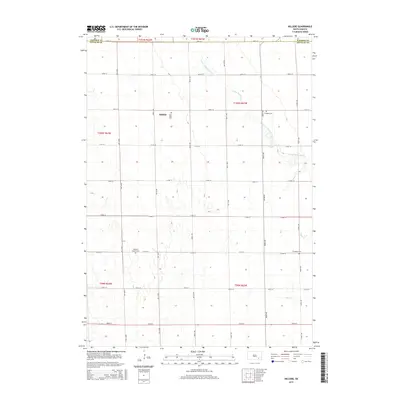
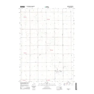
 2012 Armour2012 Print · USGSCovers Valley Township, including Armour, Chester Township, and other nearby areas
 - 2012 Map of Corsica Lake, 2012 Print
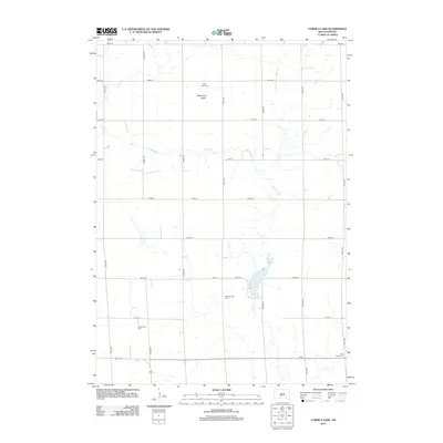 2012 Corsica Lake2012 Print · USGSCovers Valley Township, including Grandview Township, Walnut Grove Township, and other nearby areas
 - 2015 Map of Hillside, 2015 Print
 2015 Hillside2015 Print · USGSCovers Valley Township, including Washington Township, Garfield Township, and other nearby areas
 - 2015 Map of Delmont, 2015 Print
 2015 Delmont2015 Print · USGSCovers Valley Township, including Delmont, East Choteau Township, and other nearby areas
 - 2015 Map of Armour, 2015 Print
 2015 Armour2015 Print · USGSCovers Valley Township, including Armour, Chester Township, and other nearby areas
 - 2015 Map of Corsica Lake, 2015 Print
 2015 Corsica Lake2015 Print · USGSCovers Valley Township, including Grandview Township, Walnut Grove Township, and other nearby areas
 - 2017 Map of Hillside, 2017 Print
 2017 Hillside2017 Print · USGSCovers Valley Township, including Washington Township, Garfield Township, and other nearby areas
 - 2017 Map of Armour, 2017 Print
 2017 Armour2017 Print · USGSCovers Valley Township, including Armour, Chester Township, and other nearby areas
 - 2017 Map of Corsica Lake, 2017 Print
 2017 Corsica Lake2017 Print · USGSCovers Valley Township, including Grandview Township, Walnut Grove Township, and other nearby areas
 - 2017 Map of Delmont, 2017 Print
 2017 Delmont2017 Print · USGSCovers Valley Township, including Delmont, East Choteau Township, and other nearby areas
 - 2021 Map of Delmont, 2021 Print
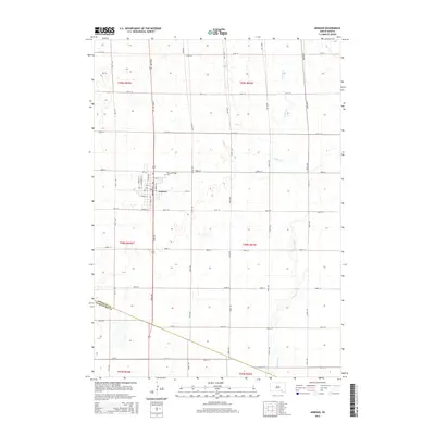
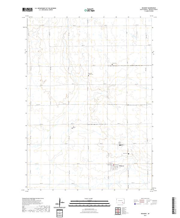 2021 Delmont2021 Print · USGSDouglas County remains a landscape of traditional section-line roads and rural faith communities in the early twenty-first century. Genealogists can trace local heritage through numerous burial sites like Zion Lutheran Cem, Hope Lutheran Cem, and the town of Delmont.
 - 2021 Map of Hillside, 2021 Print
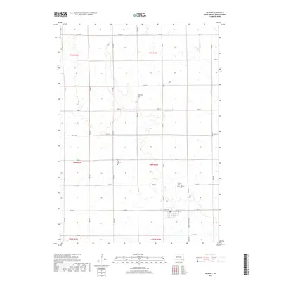
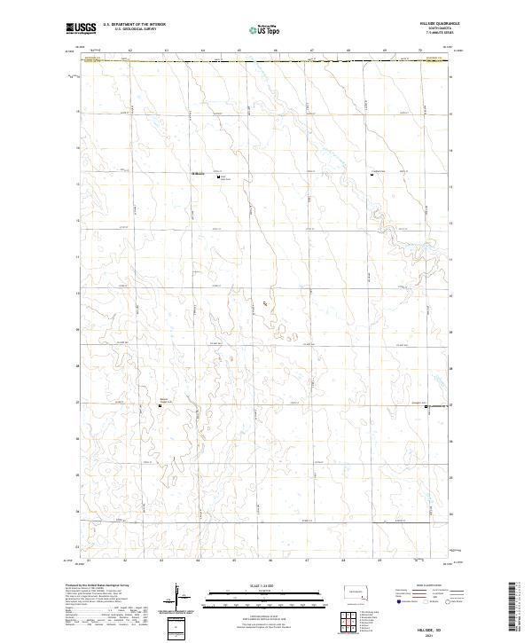 2021 Hillside2021 Print · USGSDouglas County farming life is captured here in the early twenty-first century as it centers on the community of Hillside. Researchers can locate family heritage sites at Saint John Cemetery and trace the drainage of S Fork Twelvemile Creek.
 - 2021 Map of Corsica Lake, 2021 Print
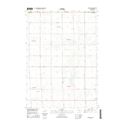
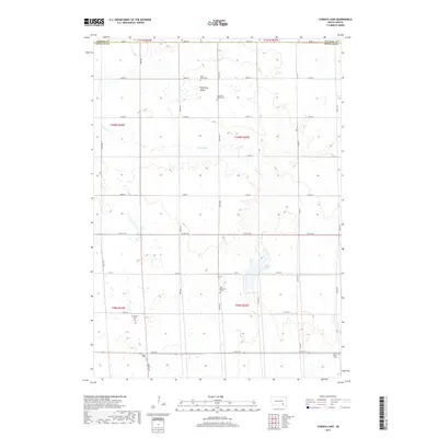
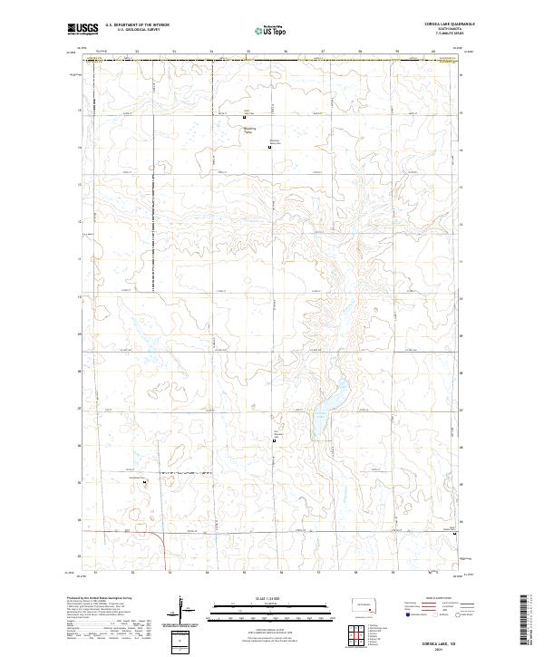 2021 Corsica Lake2021 Print · USGSDouglas County prairie life comes into focus in the early 2020s, showing a landscape defined by traditional homestead boundaries and rural community hubs. Researchers can locate numerous local burial grounds like Old Ebenezer Cem and Blooming Valley Cem near the banks of Corsica Lake.
 - 2021 Map of Armour, 2021 Print
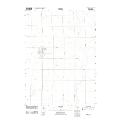
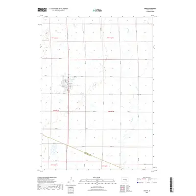
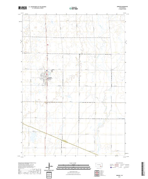 2021 Armour2021 Print · USGSArmour and the surrounding prairie of Douglas County are captured here in the early twenty-first century. Researchers can trace local lineage at Pleasant Ridge Cem or study the civic layout around the Douglas County Courthouse.
End of results
Showing maps 1-16 of 16
Top cities near Valley Township
Frequently asked questions
- What are the different types of historical maps available for Valley Township?
- What is the oldest map of Valley Township?
- Where can I purchase historical maps of Valley Township for my home or office?
- Where can I download high-res historical maps of Valley Township?
- Are there historical topographic maps available for Valley Township?
- Is there historical aerial imagery available for Valley Township?
- Where are historical maps of Valley Township sourced from?