Old Maps of Faulkton, South Dakota for Genealogy
Trace your family roots with 13 historic maps of Faulkton. These high-res maps reveal old neighborhoods, homesites, landmarks, and streets — helping you uncover where your ancestors lived and how the area evolved over time.
- Explore historic neighborhoods: Identify where your relatives may have lived in the 1800s or 1900s.
- Compare maps over time: Trace the changes in streets, buildings, and landmarks for multi-generational research.
- Perfect for genealogy & ancestry research: Used by family historians and researchers to map out lineage and migration.
These maps are an incredible resource for exploring your personal connection to Faulkton's past.
Faulkton, SD maps
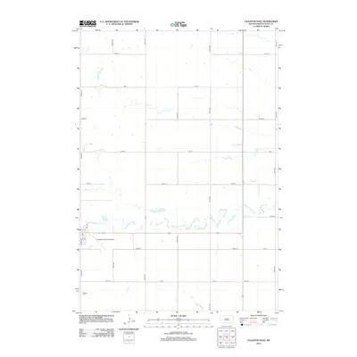
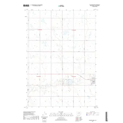
(13)- 1952 Map of Faulkton West
 1952 Faulkton West1952 Print · USGSFaulk County was defined by its railroad junctions and prairie schools during the early fifties. Genealogists and local historians can trace the foundations of the community at Faulkton and locate rural landmarks like Walgamuth Sch or the Faulkton Landing Field.
 - 1952 Map of Faulkton East
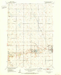
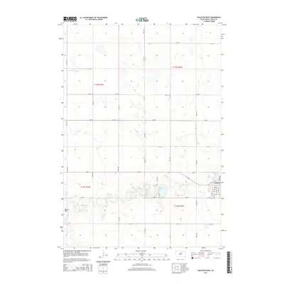
 1952 Faulkton East1952 Print · USGSFaulkton at the start of the 1950s was a critical rail crossroads where two major lines intersected amidst the Dakota prairie. Researchers can trace the layout of the Milwaukee Road, locate the Faulkton Cem, and find local landmarks like Lafoon Sch.2 unique versions available
 - 1954 Map of Aberdeen, 1964 Print
 1954 Aberdeen1964 Print · USGSNortheastern South Dakota in the mid-fifties remains a world of rail-dependent prairie towns and sweeping waterfowl refuges. Genealogists can trace family roots through settlements like Eureka and Ipswich or locate rural landmarks near Richmond Lake.2 unique versions available
 - 1956 Map of Aberdeen
 1956 Aberdeen1956 Print · USGSUpper South Dakota during the mid-fifties remains a landscape of rail-connected farming towns and expansive glacial lake basins. Genealogists and historians can trace the paths of the Minneapolis and St Louis railroad through Gettysburg or locate vanished stops near Elm Lake and Richmond Lake.
 - 1985 Map of Gettysburg
 1985 Gettysburg1985 Print · USGSIn the mid-1980s, the plains of north-central South Dakota were shaped by the Burlington Northern railroad and dozens of protected wetlands. Researchers can trace the layout of rail towns like Bowdle, Hoven, and Faulkton alongside family landmarks like Southside Cem.3 unique versions available
 - 2012 Map of Faulkton West, 2012 Print
 2012 Faulkton West2012 Print · USGSCovers Faulkton, including Faulk County, United States, and other nearby areas
 - 2012 Map of Faulkton East, 2012 Print
 2012 Faulkton East2012 Print · USGSCovers Faulkton, including Evergreen Hutterite Colony, Faulk County, and other nearby areas
 - 2015 Map of Faulkton West, 2015 Print
 2015 Faulkton West2015 Print · USGSCovers Faulkton, including Faulk County, United States, and other nearby areas
 - 2015 Map of Faulkton East, 2015 Print
 2015 Faulkton East2015 Print · USGSCovers Faulkton, including Evergreen Hutterite Colony, Faulk County, and other nearby areas
 - 2017 Map of Faulkton East, 2017 Print
 2017 Faulkton East2017 Print · USGSCovers Faulkton, including Evergreen Hutterite Colony, Faulk County, and other nearby areas
 - 2017 Map of Faulkton West, 2017 Print
 2017 Faulkton West2017 Print · USGSCovers Faulkton, including Faulk County, United States, and other nearby areas
 - 2021 Map of Faulkton East, 2021 Print
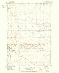
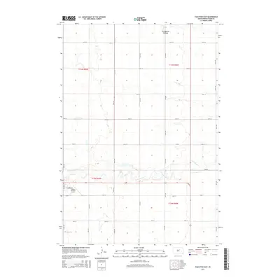
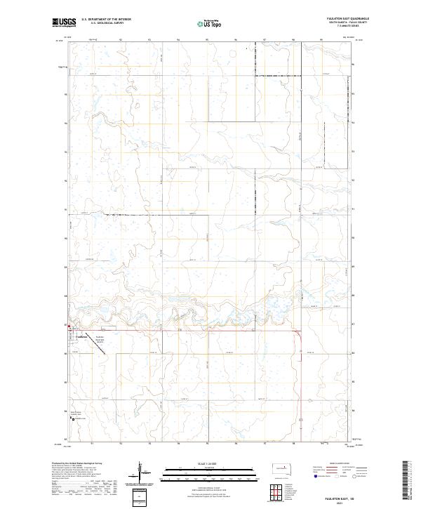 2021 Faulkton East2021 Print · USGSFaulkton and its surrounding prairie landscape are documented here in the early twenty-first century. Genealogists and local historians can locate Faulkton Cem, Saint Thomas Catholic Cem, and the meandering path of S Fork Snake Cr.
 - 2021 Map of Faulkton West, 2021 Print
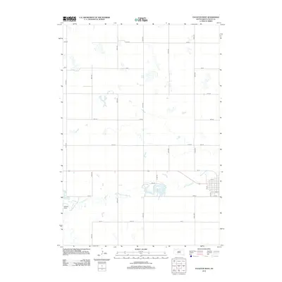
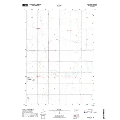
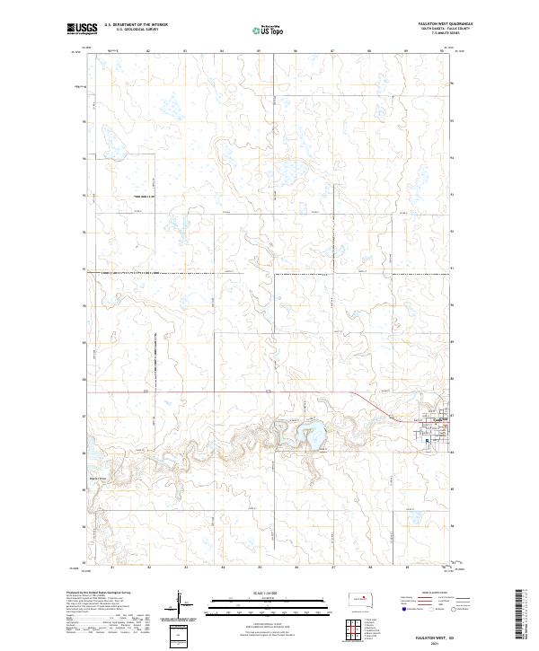 2021 Faulkton West2021 Print · USGSThe western outskirts of Faulkton come into focus in this contemporary survey of the South Dakota prairie. Researchers can trace the civic layout around the Faulk County Courthouse or follow the natural course of S Fork Snake Cr and Vogeler Draw.
End of results
Showing maps 1-13 of 13
Top cities near Faulkton
Frequently asked questions
- What are the different types of historical maps available for Faulkton?
- What is the oldest map of Faulkton?
- Where can I purchase historical maps of Faulkton for my home or office?
- Where can I download high-res historical maps of Faulkton?
- Are there historical topographic maps available for Faulkton?
- Is there historical aerial imagery available for Faulkton?
- Where are historical maps of Faulkton sourced from?