Old Maps of Delaware Township, South Dakota for Academic Research
Study the evolution of Delaware Township with 25 high-resolution historic maps. Whether you're teaching, researching, or modeling changes in land use, these maps provide essential visual documentation of urban, environmental, and geographic change.
- Analyze long-term change: Track patterns in development, transportation, and natural features.
- Ideal for environmental or urban studies: Support academic projects with primary historical map data.
- Use in the classroom or lab: Educators and researchers rely on these maps to bring historical context to life.
These maps are a powerful tool for teaching, research, and visualizing how Delaware Township has changed over the decades.
Delaware Township, SD maps
(25)- 1897 Map of Canton, 1954 Print
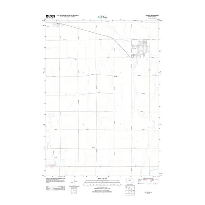
 1897 Canton1954 Print · USGSSoutheastern South Dakota and the Iowa borderlands were undergoing a railway-driven expansion during the 1890s. Genealogists and historians can trace early settlements like Beloit, Centerville, and Lennox as they grew along the Big Sioux River.
 - 1900 Map of Canton
 1900 Canton1900 Print · USGSSoutheastern South Dakota and the Iowa borderlands are captured here at a peak of late-nineteenth-century rail expansion. Genealogists can trace the early foundations of towns like Canton, Centerville, and Beresford along the Big Sioux River.2 unique versions available
 - 1955 Map of Sioux Falls, 1967 Print
 1955 Sioux Falls1967 Print · USGSThe eastern South Dakota and western Minnesota borderlands come alive in the mid-fifties, showing the vital rail-to-river connections of the era. Genealogists can trace family footprints across townships like Madison and Pipestone, while following the paths of the Big Sioux River and the Chicago and North Western line.3 unique versions available
 - 1958 Map of Sioux Falls
 1958 Sioux Falls1958 Print · USGSThe tri-state borderlands of South Dakota, Minnesota, and Iowa are captured here during the mid-century peak of the regional rail network. Genealogists and historians can trace local landmarks like Augustana Academy, the St Marys Cem, and the path of the Illinois Central through Rock Rapids.
 - 1964 Map of Worthing, 1965 Print
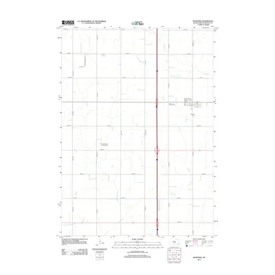
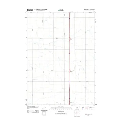
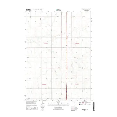
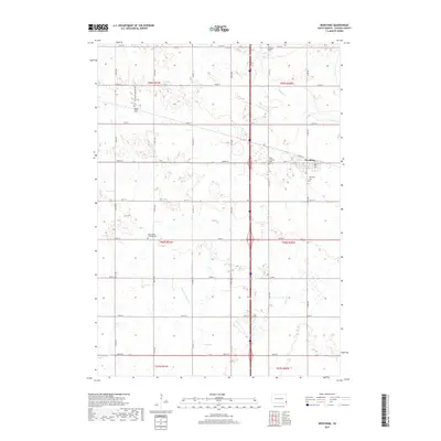
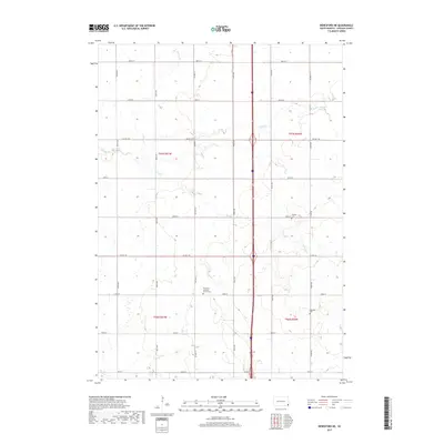
 1964 Worthing1965 Print · USGSLincoln County farmland is documented here in the mid-1960s as Interstate 29 began to reshape the local travel landscape. Genealogists and historians can locate numerous rural schools like Gedstad Sch and early landmarks including the Skie Air Service Landing Field.
 - 1964 Map of Lennox, 1966 Print
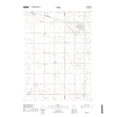
 1964 Lennox1966 Print · USGSThe rural prairie of Lincoln and Turner Counties comes alive in the 1960s, showing a well-established network of rail towns and country school districts. Researchers can trace family roots through sites like Delaware Ch, Lennox Cem, and several schoolhouses including Sunny Side Sch.
 - 1968 Map of Beresford NW, 1971 Print
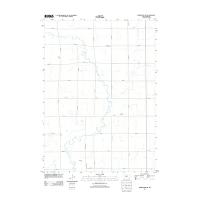
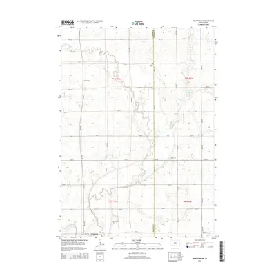
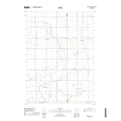
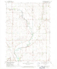 1968 Beresford NW1971 Print · USGSSoutheast South Dakota's farm country comes alive in the late sixties, centered on the river valley and rail corridor near Centerville. Genealogists and historians can trace rural roots through landmarks like Mt Zion Cem, Ash Grove Sch, and the winding Vermillion River.
 - 1968 Map of Beresford NE, 1971 Print
 1968 Beresford NE1971 Print · USGSThe rural landscape of Lincoln County in the late sixties shows a traditional farming community at the dawn of the Interstate era. Researchers can trace the placement of local schoolhouses like Burney Sch and early burial sites including Skresfrud Cem.
 - 1985 Map of Rock Rapids
 1985 Rock Rapids1985 Print · USGSThe borderlands of South Dakota and Iowa come into focus in the mid-1980s, centered on the fertile valleys of the Big Sioux River. Genealogists and researchers can trace rural homesteads near Rock Rapids, find Dordt College in Sioux Center, or locate old burial sites like Grace Hill Cem.2 unique versions available
 - 2012 Map of Worthing, 2012 Print
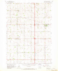
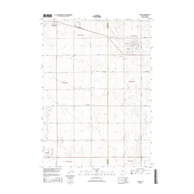
 2012 Worthing2012 Print · USGSCovers Delaware Township, including Worthing, Grant Township, and other nearby areas
 - 2012 Map of Beresford NE, 2012 Print
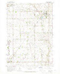
 2012 Beresford NE2012 Print · USGSCovers Delaware Township, including Brooklyn Township, Lincoln Township, and other nearby areas
 - 2012 Map of Lennox, 2012 Print
 2012 Lennox2012 Print · USGSCovers Delaware Township, including Lennox, Chancellor, and other nearby areas
 - 2012 Map of Beresford NW, 2012 Print
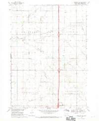
 2012 Beresford NW2012 Print · USGSCovers Delaware Township, including Centerville Township, Turner Township, and other nearby areas
 - 2015 Map of Beresford NW, 2015 Print
 2015 Beresford NW2015 Print · USGSCovers Delaware Township, including Centerville Township, Turner Township, and other nearby areas
 - 2015 Map of Beresford NE, 2015 Print
 2015 Beresford NE2015 Print · USGSCovers Delaware Township, including Brooklyn Township, Lincoln Township, and other nearby areas
 - 2015 Map of Lennox, 2015 Print
 2015 Lennox2015 Print · USGSCovers Delaware Township, including Lennox, Chancellor, and other nearby areas
 - 2015 Map of Worthing, 2015 Print
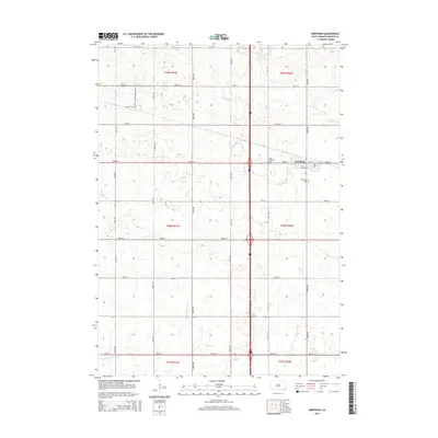 2015 Worthing2015 Print · USGSCovers Delaware Township, including Worthing, Grant Township, and other nearby areas
 - 2017 Map of Worthing, 2017 Print
 2017 Worthing2017 Print · USGSCovers Delaware Township, including Worthing, Grant Township, and other nearby areas
 - 2017 Map of Beresford NW, 2017 Print
 2017 Beresford NW2017 Print · USGSCovers Delaware Township, including Centerville Township, Turner Township, and other nearby areas
 - 2017 Map of Lennox, 2017 Print
 2017 Lennox2017 Print · USGSCovers Delaware Township, including Lennox, Chancellor, and other nearby areas
 - 2017 Map of Beresford NE, 2017 Print
 2017 Beresford NE2017 Print · USGSCovers Delaware Township, including Brooklyn Township, Lincoln Township, and other nearby areas
 - 2021 Map of Beresford NW, 2021 Print
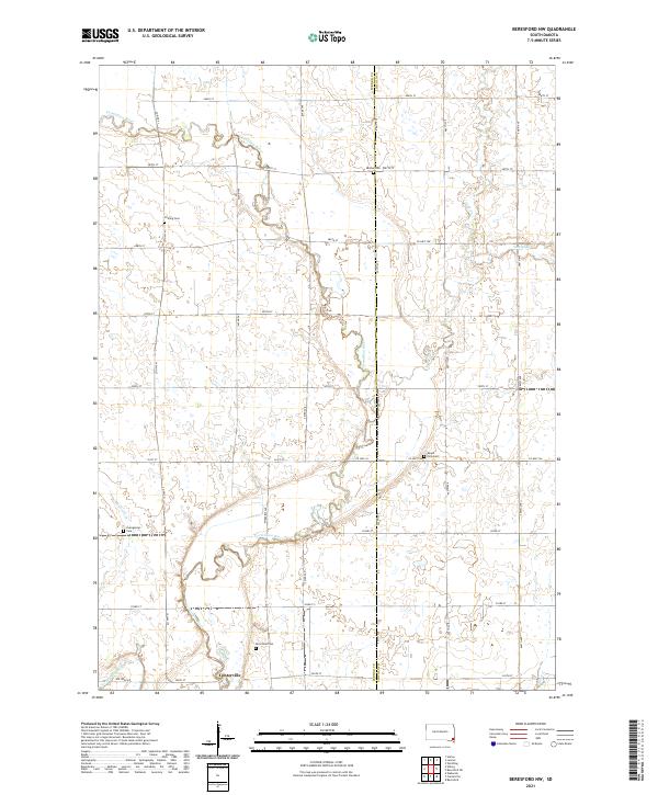 2021 Beresford NW2021 Print · USGSCenterville and the surrounding Turner County prairies are documented here during the early twenty-first century. Researchers can trace the winding Vermillion River and locate several historic cemeteries, including Melhus Cem and Riverview Cem.
 - 2021 Map of Lennox, 2021 Print
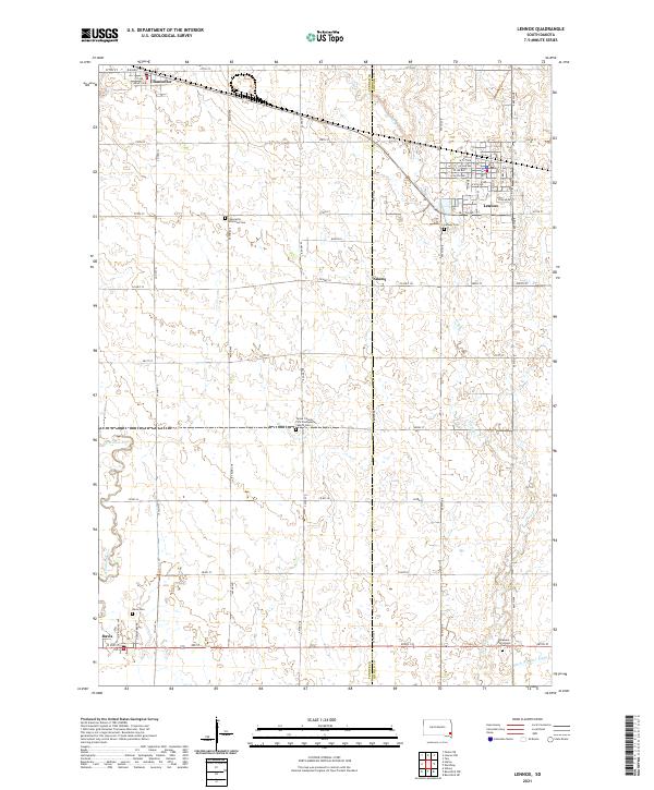 2021 Lennox2021 Print · USGSSoutheastern South Dakota’s agricultural heartland is captured here just as modern infrastructure meets traditional prairie settlements. Genealogists can locate several rural burial grounds including Lennox Cem, Davis Cem, and the Delaware Reformed Cem.
 - 2021 Map of Worthing, 2021 Print
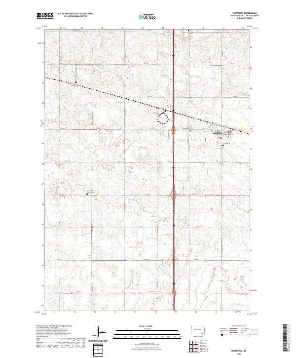 2021 Worthing2021 Print · USGSWorthing and the surrounding Lincoln County prairie are documented here in the early twenty-first century, showing a landscape of precise township grids and agricultural water management. You can trace local history through sites like Mount Olivet Cem, Saint Edwards Cem, and Lake Albert.
 - 2021 Map of Beresford NE, 2021 Print
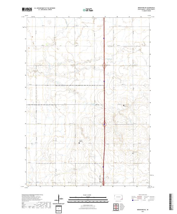 2021 Beresford NE2021 Print · USGSThe rural prairie landscape of Lincoln County appears in high detail during the early 2020s. Genealogists and local historians can locate long-standing community landmarks including Skrefsrud Lutheran Church Cem, Pioneer Cem, and the waters of Haram Cr.
End of results
Showing maps 1-25 of 25
Top cities near Delaware Township
- Harrisburg historical maps
- Tea historical maps
- Lennox historical maps
- Beresford historical maps
- Worthing historical maps
- Centerville historical maps
See more
Frequently asked questions
- What are the different types of historical maps available for Delaware Township?
- What is the oldest map of Delaware Township?
- Where can I purchase historical maps of Delaware Township for my home or office?
- Where can I download high-res historical maps of Delaware Township?
- Are there historical topographic maps available for Delaware Township?
- Is there historical aerial imagery available for Delaware Township?
- Where are historical maps of Delaware Township sourced from?