2020s Maps of Roberts County, South Dakota
Explore 39 historic maps of Roberts County from the 2020s. These maps offer a rare glimpse into what life looked like during the 2020s — showing old roads, neighborhoods, homes, and landmarks that have changed or disappeared over time.
Whether you're researching your family's past, planning a metal detecting trip, or studying how Roberts County's landscape evolved across the 2020s, these high-resolution maps are a powerful tool for exploring the history of this region.
- Focus on a specific era: All maps on this page are from the 2020s, giving you a focused view of this time period.
- See what’s changed: Compare century-old streets, trails, and buildings to today's modern landscape using overlays and satellite layers.
- Research with precision: Use these maps for genealogy, historical research, land use analysis, or educational projects.
- View, download, or print: Maps are fully viewable online in high resolution, and can be downloaded or printed for your own records.
Start exploring Roberts County's history through authentic maps from the 2020s. This is your window into the past.
Roberts County, SD maps
(39)- 2020 Map of New Effington NW, 2020 Print
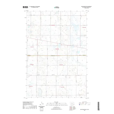 2020 New Effington NW2020 Print · USGSThe border between North Dakota and South Dakota comes alive on this survey of Roberts and Richland counties during the twenty-first century. Genealogists and local researchers can locate rural landmarks like the Bohemian Cem, Thompson Cem, and the waters of Big Slough.
 - 2020 Map of Claire City NE, 2020 Print
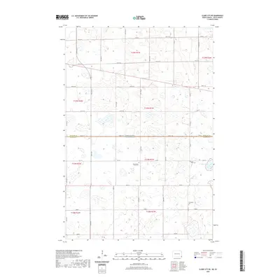 2020 Claire City NE2020 Print · USGSThe borderlands of North Dakota and South Dakota are captured here in the early twenty-first century, showing a landscape defined by prairie wetlands. Genealogists can locate significant burial sites like Zion Lutheran Church Cem and Ferkingstad Cem near the Indian Slough.
 - 2020 Map of Claire City NW, 2020 Print
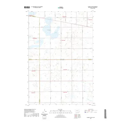 2020 Claire City NW2020 Print · USGSThe North Dakota and South Dakota borderlands come into focus in the 2020s, revealing a landscape of prairie potholes and shifting county lines. Genealogists and land researchers can trace property locations near Park Lakebed and the headwaters of the Little Minnesota River.
 - 2020 Map of New Effington NE, 2020 Print
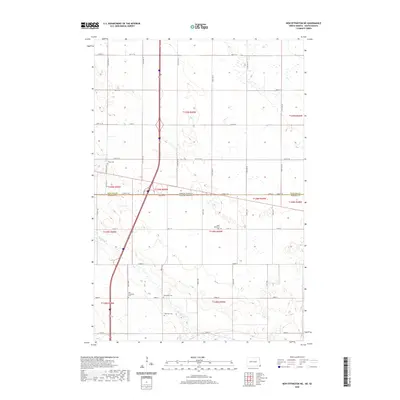 2020 New Effington NE2020 Print · USGSThe border between North and South Dakota is captured here in the late twenty-teens, showing a prairie landscape shaped by the Big Slough. Researchers can trace early family history through a high density of local cemeteries, including Old Brandvold, Tyson Cem, and Saint Nicholaus Cem.
 - 2020 Map of La Mars, 2020 Print
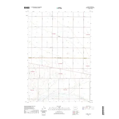 2020 La Mars2020 Print · USGSCrossing the border between North and South Dakota in the 2020s, this survey documents the enduring agricultural landscape of the Lake Traverse District. Researchers can trace rural road networks and natural prairie drainage patterns like Big Slough and the settlement at La Mars.
 - 2021 Map of Big Stone Lake SW, 2021 Print
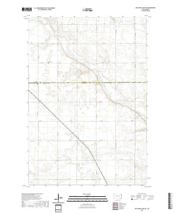 2021 Big Stone Lake SW2021 Print · USGSThe Grant and Roberts county borderlands in the early 2020s remain defined by a deep agricultural grid and the meandering N Fork Whetstone River. Researchers can locate legacy family burial sites at the Corona Cem and Kilborn Lutheran Cem.
 - 2021 Map of Peever NE, 2021 Print
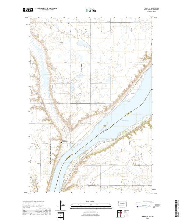 2021 Peever NE2021 Print · USGSLake Traverse and the surrounding prairie wetlands of Roberts County are captured here during the early twenty-first century. Genealogists can locate family sites near Trinity Lutheran Cem or trace the drainage of Jim Creek and Steer Cr through the plains.
 - 2021 Map of Corona, 2021 Print
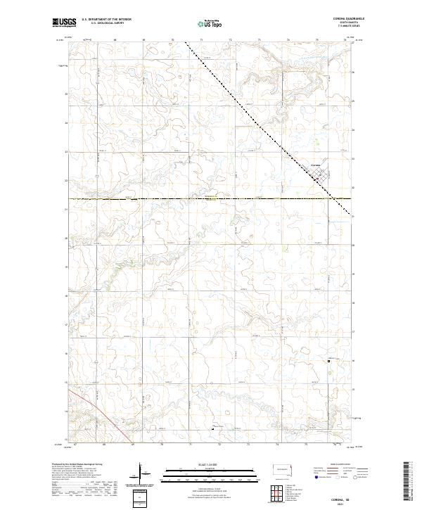 2021 Corona2021 Print · USGSCorona and the surrounding prairie townships are captured here during the early twenty-first century as the agricultural heart of Roberts and Grant counties. Researchers can trace local lineage at Kilborn 1 Cem and Kilborn 3 Cem or follow the winding N Fork Whetstone River.
 - 2021 Map of Peever, 2021 Print
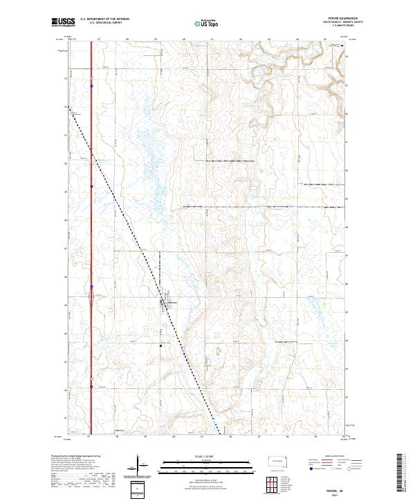 2021 Peever2021 Print · USGSThe town of Peever and its surrounding wetlands are mapped here in the early twenty-first century. Researchers can locate family sites near Peever Cem or trace the meandering paths of the Jorgenson River and Little Minnesota River across the Roberts County prairie.
 - 2021 Map of Rosholt, 2021 Print
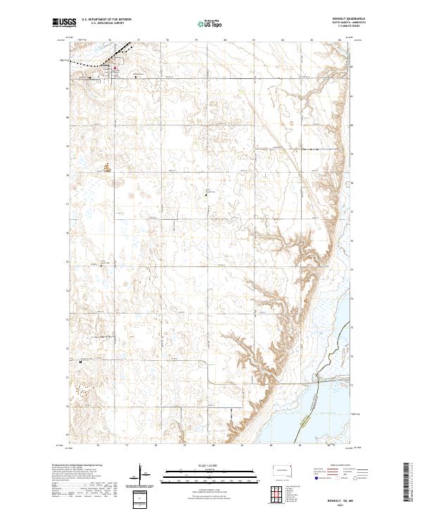 2021 Rosholt2021 Print · USGSNortheastern Roberts County comes into focus in this recent survey of the prairie landscape near the Minnesota border. Genealogists and local historians can trace the positions of numerous rural landmarks, including Bethania Cem, Saint Joseph Cem, and the waters of Lake Traverse.
 - 2021 Map of Big Stone Lake SE, 2021 Print
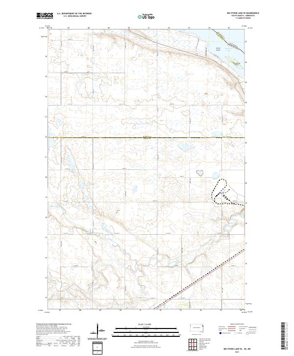 2021 Big Stone Lake SE2021 Print · USGSThe South Dakota and Minnesota border comes alive in the early 2020s where the Whetstone River flows toward Big Stone Lake. Trace the local landscape through landmarks like Goose Island and the rural network of Frevert Farm Rd.
 - 2021 Map of Peever NW, 2021 Print
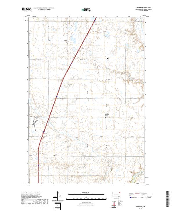 2021 Peever NW2021 Print · USGSRoberts County agriculture and aviation meet on the South Dakota prairie in the early twenty-first century. Researchers can trace family ties at the Evangelical German Lutheran Cem or locate land near the Little Minnesota River.
 - 2021 Map of Wilmot NW, 2021 Print
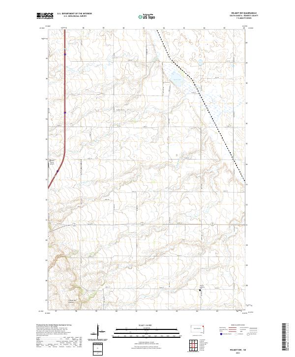 2021 Wilmot NW2021 Print · USGSThe high plateau of the Roberts County prairie is captured here in the early twenty-first century. Genealogists and local historians can trace family locations near Wilmot Lutheran Cem or locate regional landmarks like Whipple Ranch Airport.
 - 2021 Map of Victor, 2021 Print
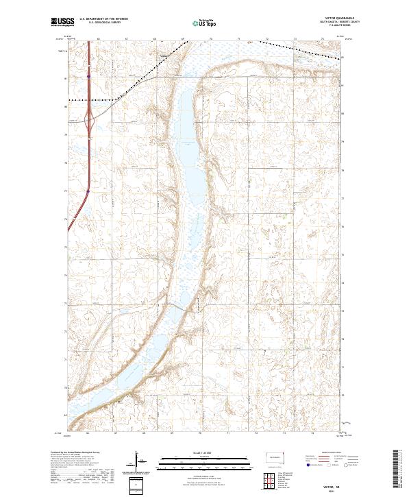 2021 Victor2021 Print · USGSThe northern edge of Roberts County in the early 2020s is defined by its expansive prairie wetlands and the small settlement of Victor. Researchers can trace the drainage patterns of Cottonwood Lake and the Cottonwood Slough as they intersect the local road grid.
 - 2021 Map of Wilmot, 2021 Print
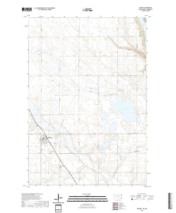 2021 Wilmot2021 Print · USGSWilmot and the surrounding prairie of Roberts County are shown in detail during the early 2020s. Genealogists and local historians can trace family locations near Wilmot Cem, Saint Mary's Catholic Cem, and the waters of Bullhead Lake.
 - 2021 Map of New Effington, 2021 Print
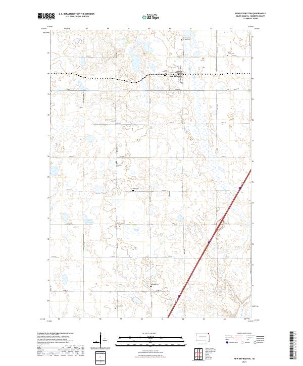 2021 New Effington2021 Print · USGSNew Effington and the surrounding Roberts County prairie are shown here in the early twenty-first century, revealing a landscape deeply marked by its early settlement history. Genealogists can trace numerous local burial sites including Walla Church Cem, Old Effington Cem, and Scandia Cem.
 - 2021 Map of Marvin, 2021 Print
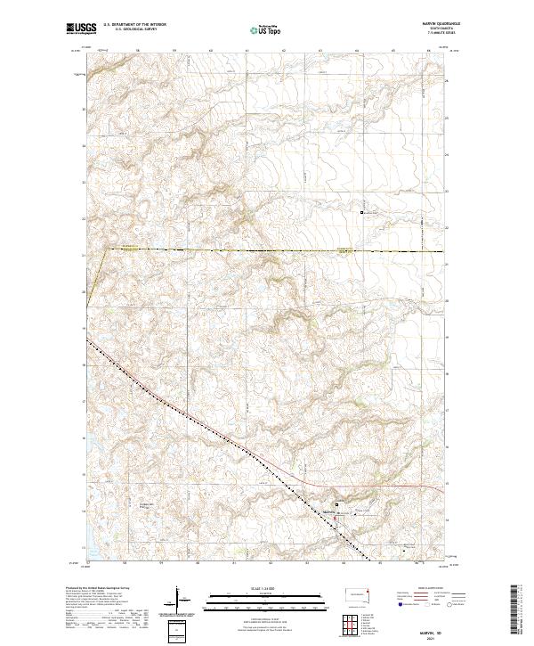 2021 Marvin2021 Print · USGSThe upland plateau of the Coteau des Prairies defines this contemporary study of the Marvin area. Researchers can locate several burial grounds, including Eastman Cem, Blue Cloud Abbey Cem, and the two Osceola cemeteries near the town center.
 - 2021 Map of Claire City SW, 2021 Print
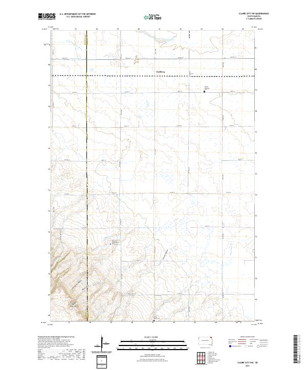 2021 Claire City SW2021 Print · USGSThe Coteau des Prairies in South Dakota is captured here in the early 2020s, showing the high glacial plateau as it transitions toward the Minnesota River valley. Genealogists and local historians can locate Bethel Lutheran Cem and Dahlberg, or trace the paths of Munson Cr and Uncle John Coulee.
 - 2021 Map of Drywood Lakes, 2021 Print
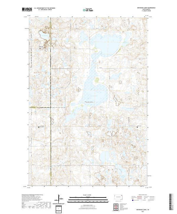 2021 Drywood Lakes2021 Print · USGSThe Coteau des Prairies plateau in the early twenty-first century remains a landscape of glacial lakes and pioneer-era landmarks. Genealogists can trace family history at the Buffalo Lake Lutheran Cem, Bethel Cem, and Zoar Lutheran Church Cem.
 - 2021 Map of Claire City, 2021 Print
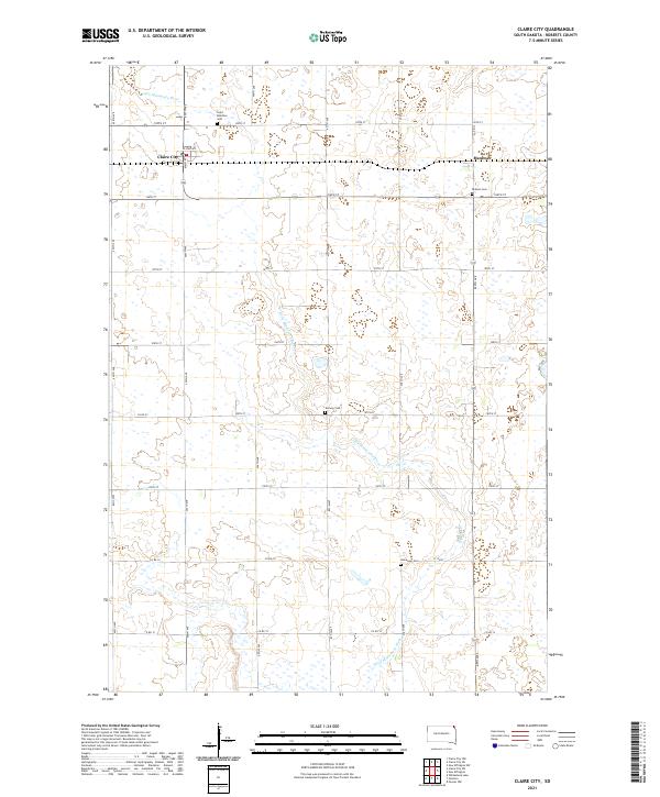 2021 Claire City2021 Print · USGSClaire City and the Roberts County plains appear here in the early twenty-first century, anchored by a network of rural homesteads and agricultural roads. Genealogists can trace family heritage through local landmarks like Saint Boniface Cem, Hammer, and the Norway Cem along the Little Minnesota River.
 - 2021 Map of Whitestone Lake, 2021 Print
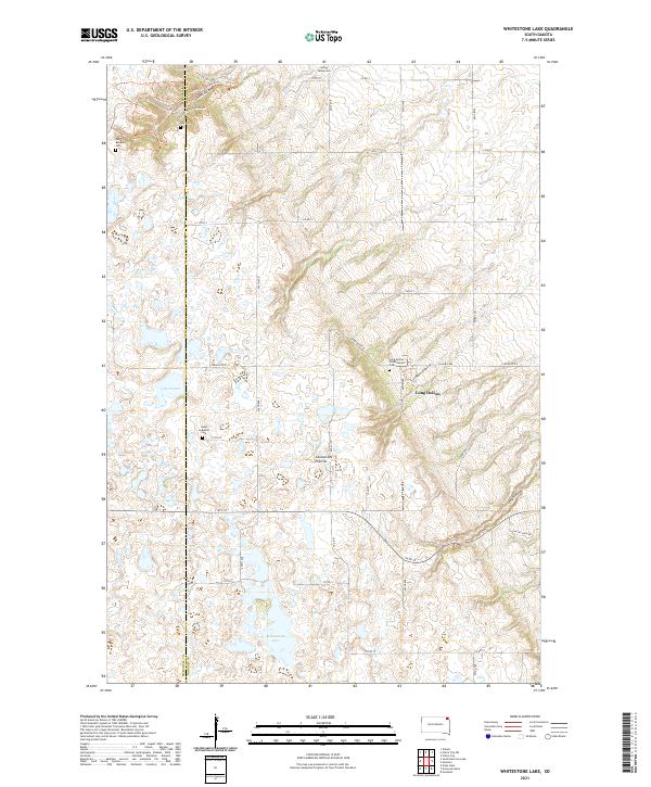 2021 Whitestone Lake2021 Print · USGSThe Roberts County prairie is captured here in the early 21st century, showing a landscape of glacial lakes and deep ravines. Researchers can locate remote family burial sites like Roy Cem and Spring Valley Cem or trace the winding Trail of Spirits Trl through the coulees.
 - 2021 Map of Goodwill, 2021 Print
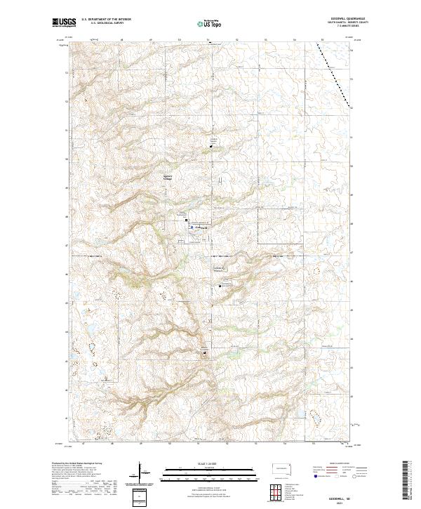 2021 Goodwill2021 Print · USGSThe Sisseton Wahpeton Oyate lands around the Coteau des Prairies are captured in this modern survey. Researchers can trace family history at the Renville Family Cem or locate community centers near Agency Village and Goodwill.
 - 2021 Map of Sisseton, 2021 Print
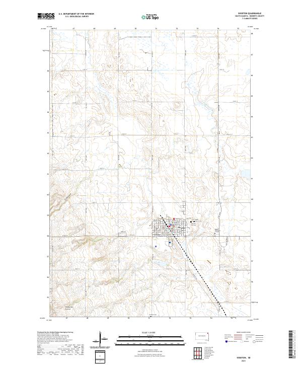 2021 Sisseton2021 Print · USGSSisseton and the surrounding Roberts County prairie are captured here in the early twenty-first century. Researchers can trace the local street grid and institutional landmarks like Sisseton Wahpeton College, the Roberts County Courthouse, and Goodwill Cem.
 - 2021 Map of Enemy Swim Lake East, 2021 Print
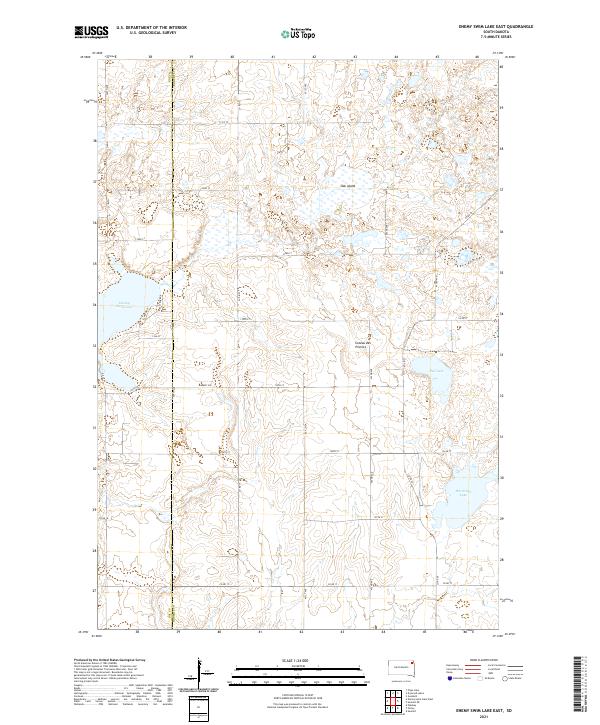 2021 Enemy Swim Lake East2021 Print · USGSThe glacial landscape of Roberts and Day Counties is mapped here in the early twenty-first century. Researchers can trace lakeshore developments at Enemy Swim Lake or explore the prairie heights of the Coteau des Prairies and Oak Island.
 - 2021 Map of Summit, 2021 Print
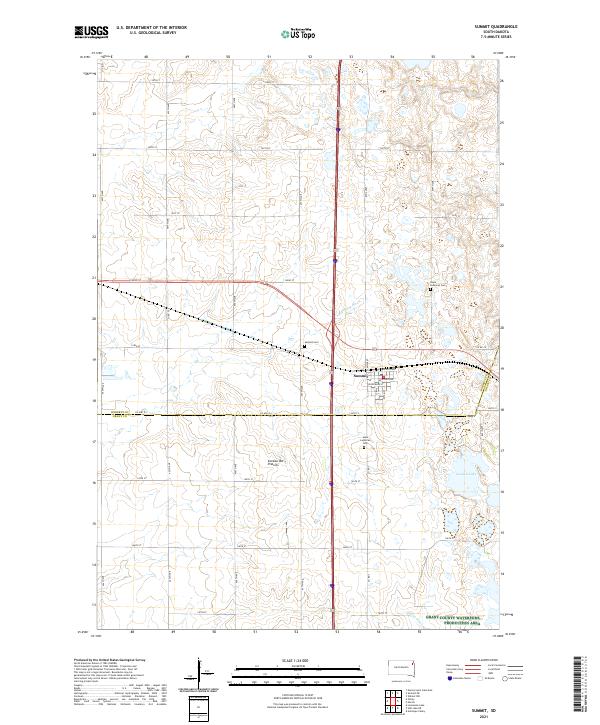 2021 Summit2021 Print · USGSThe high plateau of the Coteau des Prairies provides the backdrop for this look at the town of Summit and its surrounding prairie homesteads. Researchers can locate family sites near Hope Lutheran Cem or trace the early course of the Big Sioux River.
Showing maps 1-25 of 39
Top cities of Roberts County
- Wilmot historical maps
- Old Agency District historical maps
- Corona historical maps
- White Rock historical maps
Frequently asked questions
- What are the different types of historical maps available for Roberts County?
- What is the oldest map of Roberts County?
- Where can I purchase historical maps of Roberts County for my home or office?
- Where can I download high-res historical maps of Roberts County?
- Are there historical topographic maps available for Roberts County?
- Is there historical aerial imagery available for Roberts County?
- Where are historical maps of Roberts County sourced from?