Old Maps of Tetonka Township, South Dakota for Academic Research
Study the evolution of Tetonka Township with 35 high-resolution historic maps. Whether you're teaching, researching, or modeling changes in land use, these maps provide essential visual documentation of urban, environmental, and geographic change.
- Analyze long-term change: Track patterns in development, transportation, and natural features.
- Ideal for environmental or urban studies: Support academic projects with primary historical map data.
- Use in the classroom or lab: Educators and researchers rely on these maps to bring historical context to life.
These maps are a powerful tool for teaching, research, and visualizing how Tetonka Township has changed over the decades.
Tetonka Township, SD maps
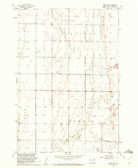
(35)- 1894 Map of Conde
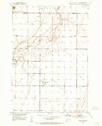
 1894 Conde1894 Print · USGSThe James River Valley region during the pioneer era of the 1890s reveals a landscape defined by the arrival of the rails. Trace the early township developments of Benton and Tetonka and locate early railway stops at Conde, Turton, and Verdon.
 - 1895 Map of Aberdeen
 1895 Aberdeen1895 Print · USGSNortheastern South Dakota was rapidly evolving in the 1890s as a vital railroad corridor through the James River Valley. Local historians and genealogists can trace the early layout of rail-side towns like Warner, Groton, and the burgeoning hub of Aberdeen.4 unique versions available
 - 1953 Map of Brentford, 1955 Print
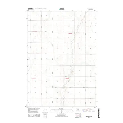
 1953 Brentford1955 Print · USGSBrentford and the surrounding Spink County prairie are documented here in the early fifties during a period of rural school consolidation. Genealogists can trace the Plainview Cemetery and the sites of School No 3 and School No 1.
 - 1953 Map of Gallup, 1955 Print
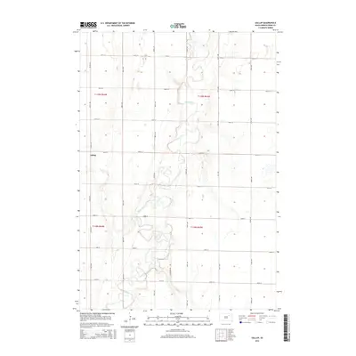
 1953 Gallup1955 Print · USGSSpink County in the mid-fifties remains a landscape of river-bend farms and rural school districts. Researchers can trace the path of the Milwaukee Road railroad and locate local landmarks like Gallup Sch or the Flowing Well.
 - 1954 Map of Mellette, 1955 Print
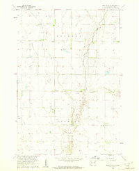
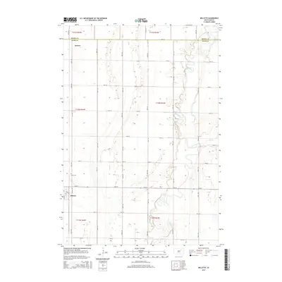
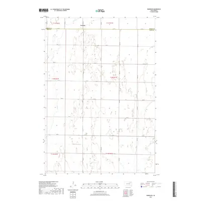
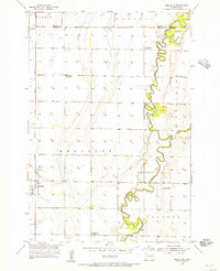 1954 Mellette1955 Print · USGSThe Spink County prairies are captured here in the mid-1950s as the rural landscape underwent significant social changes. Researchers can trace the meandering James River and locate several community sites like Armadale Park and the Dunker Sch.
 - 1954 Map of Aberdeen, 1964 Print
 1954 Aberdeen1964 Print · USGSNortheastern South Dakota in the mid-fifties remains a world of rail-dependent prairie towns and sweeping waterfowl refuges. Genealogists can trace family roots through settlements like Eureka and Ipswich or locate rural landmarks near Richmond Lake.2 unique versions available
 - 1956 Map of Aberdeen
 1956 Aberdeen1956 Print · USGSUpper South Dakota during the mid-fifties remains a landscape of rail-connected farming towns and expansive glacial lake basins. Genealogists and historians can trace the paths of the Minneapolis and St Louis railroad through Gettysburg or locate vanished stops near Elm Lake and Richmond Lake.
 - 1958 Map of Randolph, 1959 Print
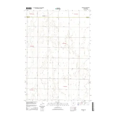
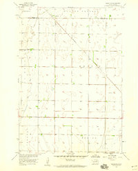 1958 Randolph1959 Print · USGSSpink and Brown Counties are captured here in the late fifties, showing the rural structure of the South Dakota prairie. Genealogists and historians can trace the influence of the Minneapolis and St Louis railroad on local life near Randolph and Dry Run.
 - 1960 Map of Conde SW, 1961 Print
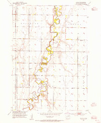
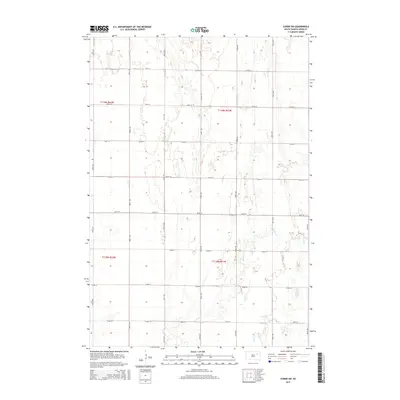
 1960 Conde SW1961 Print · USGSSpink County’s rural townships are captured here in the early sixties as the Missouri River Basin development era shaped the plains. Researchers can locate the local Townhall, several Flowing Well sites, and the meandering path of Timber Creek.
 - 1960 Map of Brentford SE, 1961 Print
 1960 Brentford SE1961 Print · USGSSpink County, South Dakota, is captured here in the early sixties as the Missouri River Basin development program shaped the rural landscape. Genealogists and local historians can trace family roots at Baldwin Cem, locate the local Townhall, and follow the winding path of Dry Run.
 - 1985 Map of Aberdeen
 1985 Aberdeen1985 Print · USGSThe James River valley of South Dakota is seen here in the mid-eighties, centered on the growing hub of Aberdeen. Genealogists and historians can trace the rail corridors of the Chicago and North Western or find rural landmarks like Bath Corner and South Scatterwood Lake.2 unique versions available
 - 2012 Map of Mellette, 2012 Print
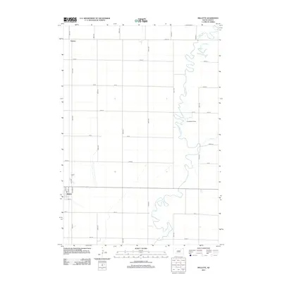 2012 Mellette2012 Print · USGSCovers Tetonka Township, including Mellette, La Prairie Township, and other nearby areas
 - 2012 Map of Brentford SE, 2012 Print
 2012 Brentford SE2012 Print · USGSCovers Tetonka Township, including Jefferson Township, Clifton Township, and other nearby areas
 - 2012 Map of Conde SW, 2012 Print
 2012 Conde SW2012 Print · USGSCovers Tetonka Township, including Sumner Township, Clifton Township, and other nearby areas
 - 2012 Map of Brentford, 2012 Print
 2012 Brentford2012 Print · USGSCovers Tetonka Township, including Brentford, La Prairie Township, and other nearby areas
 - 2012 Map of Randolph, 2012 Print
 2012 Randolph2012 Print · USGSCovers Tetonka Township, including La Prairie Township, Garden Prairie Township, and other nearby areas
 - 2012 Map of Gallup, 2012 Print
 2012 Gallup2012 Print · USGSCovers Tetonka Township, including Mellette Township, Jefferson Township, and other nearby areas
 - 2015 Map of Mellette, 2015 Print
 2015 Mellette2015 Print · USGSCovers Tetonka Township, including Mellette, La Prairie Township, and other nearby areas
 - 2015 Map of Brentford SE, 2015 Print
 2015 Brentford SE2015 Print · USGSCovers Tetonka Township, including Jefferson Township, Clifton Township, and other nearby areas
 - 2015 Map of Randolph, 2015 Print
 2015 Randolph2015 Print · USGSCovers Tetonka Township, including La Prairie Township, Garden Prairie Township, and other nearby areas
 - 2015 Map of Conde SW, 2015 Print
 2015 Conde SW2015 Print · USGSCovers Tetonka Township, including Sumner Township, Clifton Township, and other nearby areas
 - 2015 Map of Brentford, 2015 Print
 2015 Brentford2015 Print · USGSCovers Tetonka Township, including Brentford, La Prairie Township, and other nearby areas
 - 2015 Map of Gallup, 2015 Print
 2015 Gallup2015 Print · USGSCovers Tetonka Township, including Mellette Township, Jefferson Township, and other nearby areas
 - 2017 Map of Randolph, 2017 Print
 2017 Randolph2017 Print · USGSCovers Tetonka Township, including La Prairie Township, Garden Prairie Township, and other nearby areas
 - 2017 Map of Brentford, 2017 Print
 2017 Brentford2017 Print · USGSCovers Tetonka Township, including Brentford, La Prairie Township, and other nearby areas
Showing maps 1-25 of 35
Top cities near Tetonka Township
- Redfield historical maps
- Warner historical maps
- Mellette historical maps
- Ashton historical maps
- Hutterville Colony historical maps
- Stratford historical maps
See more
Frequently asked questions
- What are the different types of historical maps available for Tetonka Township?
- What is the oldest map of Tetonka Township?
- Where can I purchase historical maps of Tetonka Township for my home or office?
- Where can I download high-res historical maps of Tetonka Township?
- Are there historical topographic maps available for Tetonka Township?
- Is there historical aerial imagery available for Tetonka Township?
- Where are historical maps of Tetonka Township sourced from?