1980s Maps of Stanley County, South Dakota
Explore 22 historic maps of Stanley County from the 1980s. These maps offer a rare glimpse into what life looked like during the 1980s — showing old roads, neighborhoods, homes, and landmarks that have changed or disappeared over time.
Whether you're researching your family's past, planning a metal detecting trip, or studying how Stanley County's landscape evolved across the 1980s, these high-resolution maps are a powerful tool for exploring the history of this region.
- Focus on a specific era: All maps on this page are from the 1980s, giving you a focused view of this time period.
- See what’s changed: Compare century-old streets, trails, and buildings to today's modern landscape using overlays and satellite layers.
- Research with precision: Use these maps for genealogy, historical research, land use analysis, or educational projects.
- View, download, or print: Maps are fully viewable online in high resolution, and can be downloaded or printed for your own records.
Start exploring Stanley County's history through authentic maps from the 1980s. This is your window into the past.
Stanley County, SD maps
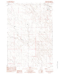
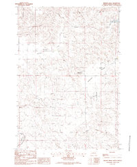
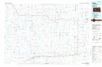
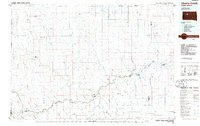
(22)- 1980 Map of Princes Ranch, 1981 Print
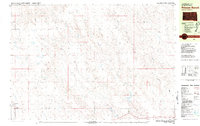 1980 Princes Ranch1981 Print · USGSStanley County ranching life is well-documented in this early 1980s survey of the high plains. Researchers can trace family landholdings and homestead locations such as Princes Ranch, Franzke Ranch, and the Haskins Ranch along the banks of Willow Creek.
 - 1982 Map of Doty Ridge, 1983 Print
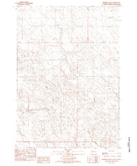
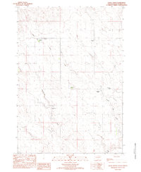
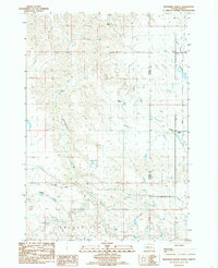
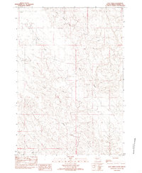 1982 Doty Ridge1983 Print · USGSThe rolling prairie of Stanley County comes into focus in the early eighties, showcasing a remote ranching landscape. Trace the drainage of Doty Ridge or follow the paths of Lance Creek and Brush Creek across the open range.
 - 1982 Map of Lacy, 1983 Print
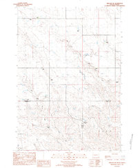
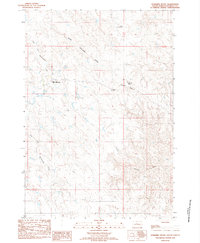
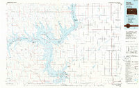
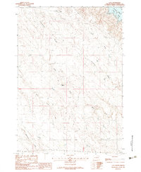 1982 Lacy1983 Print · USGSStanley County ranching land meets the western shores of the Missouri River in the early eighties. Genealogists and local historians can locate the McQuistion Ranch and trace the deep draws of Anderson Ridge leading toward Lake Oahe.
 - 1982 Map of Sansarc, 1983 Print
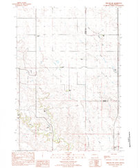
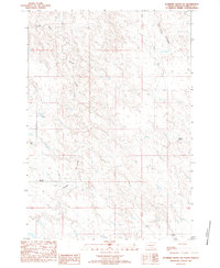
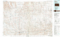
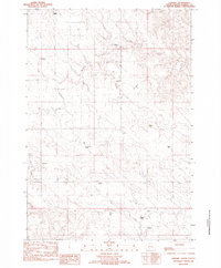 1982 Sansarc1983 Print · USGSStanley County ranching life is preserved here as it appeared in the late seventies. Family researchers can locate historic property holdings including the Scarborough Ranch, Olson Ranch, and the Sansarc Cem.
 - 1982 Map of Hayes South, 1983 Print
 1982 Hayes South1983 Print · USGSStanley County ranching country is captured here in the early eighties, showcasing a landscape of sprawling family estates and prairie drainages. Researchers can locate specific homesteads like the Purcell Ranch and Schmitz Ranch or trace the route of Wagonhound Creek past the Little Brown Ch.
 - 1982 Map of Whiteman Ranch, 1983 Print
 1982 Whiteman Ranch1983 Print · USGSRanching life on the Haakon and Stanley County border is captured here in the early 1980s. Genealogists and local historians can locate specific family homesteads such as Alleman Ranch, Norman Ranch, and the Cheyenne Sch along the banks of Sansarc Creek.
 - 1982 Map of Hohrman Ranch, 1983 Print
 1982 Hohrman Ranch1983 Print · USGSStanley County rangeland remains largely open during the late seventies, centered on isolated homesteads and seasonal waterways. Genealogists and historians can trace the locations of the Hohrman Ranch and White Ranch along Frozen Man Creek.
 - 1982 Map of Midland NE, 1983 Print
 1982 Midland NE1983 Print · USGSStanley and Haakon counties appear here in the early 1980s, showcasing a landscape shaped by legacy ranching and prairie watercourses. Genealogists and historians can trace family landholdings like the Severson Ranch, Flom Ranch, and Alcock Ranch along the banks of Big Prairie Dog Creek.
 - 1982 Map of Midland NW, 1983 Print
 1982 Midland NW1983 Print · USGSThe grasslands of central South Dakota come into focus during the early eighties, capturing the ranching heritage of the Haakon and Stanley county line. Genealogists and local historians can trace family landholdings like the Armstrong Ranch, Seidler Ranch, and Snook Ranch along the banks of Mitchell Creek.
 - 1982 Map of May Ranch, 1983 Print
 1982 May Ranch1983 Print · USGSHaakon and Stanley counties are shown in the early eighties as a landscape of isolated family outposts and winding prairie drainages. Researchers can locate specific legacy holdings such as May Ranch, Diamond Ring Ranch, and Standiford Ranch along the breaks of Plum Creek.
 - 1982 Map of Mission Ridge, 1983 Print
 1982 Mission Ridge1983 Print · USGSStanley County ranch lands are detailed in the early 1980s, showing the intersection of family heritage and frontier geography. Genealogists can locate named homesteads like the Ancel Tibbs Ranch, while historians can trace the Old Indian Treaty Boundary.
 - 1983 Map of Bentley Ranch
 1983 Bentley Ranch1983 Print · USGSHaakon County ranching life is documented here in the early 1980s, showcasing a landscape of isolated homesteads and prairie creeks. Researchers can locate family landmarks like the Bentley Ranch, Hedman Ranch, and the Historical Marker near Olesen Ranch.
 - 1983 Map of Hayes North
 1983 Hayes North1983 Print · USGSStanley County ranching life is preserved in this early 1980s survey of the South Dakota range. Researchers can trace family-named homesteads and landmarks like the A C Burgeson Ranch, Riggle Ranch, and the Historical Marker near Frozen Man Creek.
 - 1983 Map of Standing Butte
 1983 Standing Butte1983 Print · USGSStanley County ranch lands and prominent buttes are detailed in this early 1980s survey. Researchers can locate the Standing Butte Triple-U Buffalo Ranch, trace the Chantier Creek drainage, and find the Historical Marker near Standing Butte.
 - 1983 Map of Standing Butte SW
 1983 Standing Butte SW1983 Print · USGSStanley County ranching country is captured here in the early eighties, showing a landscape defined by isolated homesteads and deep creek drainages. Genealogists and local historians can locate family landmarks like Rose Ranch and Olson Ranch along the banks of Sansarc Creek.
 - 1983 Map of Philip, 1984 Print
 1983 Philip1984 Print · USGSCentral South Dakota’s plains in the early eighties are mapped here, showing the rural communities and ranching landscape of Haakon County. Genealogists and historians can trace the Chicago and North Western rail corridor and find small locales like Milesville, Elevenmile Corner, and Nowlin.
 - 1984 Map of Whiteman Ranch, 1986 Print
 1984 Whiteman Ranch1986 Print · USGSHaakon and Stanley Counties are shown here during the late 1970s and early 1980s, documenting a remote ranching economy. Researchers can locate specific family lands like Markwed Ranch and Jacobsen Ranch or the local Cheyenne Sch.
 - 1984 Map of Philip, 1989 Print
 1984 Philip1989 Print · USGSHaakon County in the mid-eighties remains a landscape of rail-side towns and expansive rangeland. Genealogists and historians can trace the Chicago and North Western line through Philip and Nowlin or locate remote sites like Elevenmile Corner and Grindstone Butte.
 - 1985 Map of Big Bend Dam, 1986 Print
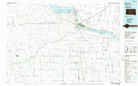
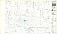 1985 Big Bend Dam1986 Print · USGSThe Missouri River landscape of the mid-1980s is defined by the massive Big Bend Dam and the sprawling waters of Lake Sharpe. Genealogists and historians can trace reservation boundaries and rural outposts like Fort Thompson, Stephan, and the Miller Dale Colony.2 unique versions available
 - 1986 Map of Pierre
 1986 Pierre1986 Print · USGSCentral South Dakota comes into focus during the mid-eighties as the Missouri River reservoirs reshape the landscape around the state capital. Genealogists and historians can trace rail stops along the Chicago and North Western and locate landmarks like the Old Indian Treaty Boundary and Medicine Knoll.2 unique versions available
 - 1986 Map of Cherry Creek
 1986 Cherry Creek1986 Print · USGSWest-central South Dakota comes to life in the mid-1980s, centered on the Cheyenne River Indian Reservation and the river's winding path. Genealogists and historians can trace the remote settlements of Red Scaffold and Milesville or locate family landmarks like Staple M Cliffs and Robbs Flat.2 unique versions available
 - 1986 Map of Onida
 1986 Onida1986 Print · USGSThe high plains of Sully County meet the vast waters of the Missouri River in the mid-1980s. Local researchers can trace the Chicago and North Western rail line through Onida and Agar or locate the Blunt Cemetery on the southern horizon.2 unique versions available
End of results
Showing maps 1-22 of 22
Top cities of Stanley County
Frequently asked questions
- What are the different types of historical maps available for Stanley County?
- What is the oldest map of Stanley County?
- Where can I purchase historical maps of Stanley County for my home or office?
- Where can I download high-res historical maps of Stanley County?
- Are there historical topographic maps available for Stanley County?
- Is there historical aerial imagery available for Stanley County?
- Where are historical maps of Stanley County sourced from?