2020s Maps of Stanley County, South Dakota
Explore 45 historic maps of Stanley County from the 2020s. These maps offer a rare glimpse into what life looked like during the 2020s — showing old roads, neighborhoods, homes, and landmarks that have changed or disappeared over time.
Whether you're researching your family's past, planning a metal detecting trip, or studying how Stanley County's landscape evolved across the 2020s, these high-resolution maps are a powerful tool for exploring the history of this region.
- Focus on a specific era: All maps on this page are from the 2020s, giving you a focused view of this time period.
- See what’s changed: Compare century-old streets, trails, and buildings to today's modern landscape using overlays and satellite layers.
- Research with precision: Use these maps for genealogy, historical research, land use analysis, or educational projects.
- View, download, or print: Maps are fully viewable online in high resolution, and can be downloaded or printed for your own records.
Start exploring Stanley County's history through authentic maps from the 2020s. This is your window into the past.
Stanley County, SD maps
(45)- 2021 Map of Van Metre, 2021 Print
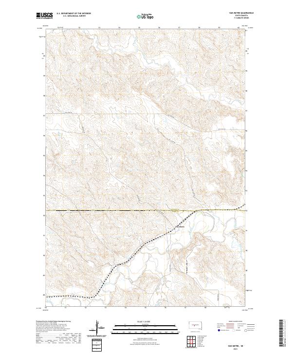 2021 Van Metre2021 Print · USGSThe ranching country of Stanley and Jones Counties is captured here in the early twenty-first century. Researchers can trace rural routes and water sources like Vanmetre Rd, the settlement of Van Metre, and the winding path of the Bad River.
 - 2021 Map of Pierre SW, 2021 Print
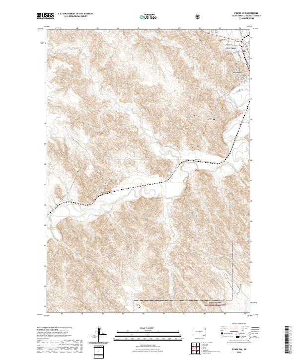 2021 Pierre SW2021 Print · USGSFort Pierre at the start of the 2020s shows a unique mix of modern city planning and protected prairie wilderness. Researchers can trace the town's street grid out to Verendrye Hill or follow the Bad River toward the Fort Pierre National Grassland.
 - 2021 Map of Oahe SW, 2021 Print
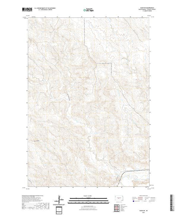 2021 Oahe SW2021 Print · USGSStanley County ranching country is mapped here in the early twenty-first century, showing the drainage basins north of the river. You can trace the rural road network near Princes Ranch and follow the paths of Tomahawk Cr and Broken Neck Cr.
 - 2021 Map of Wendte, 2021 Print
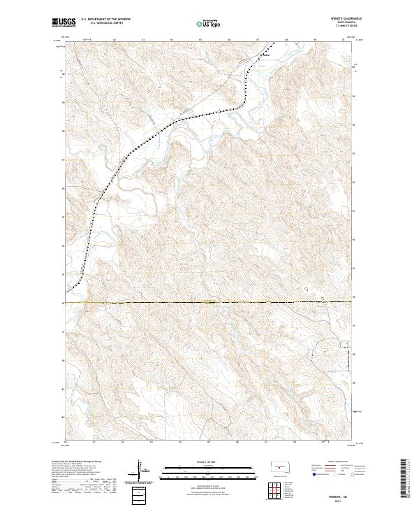 2021 Wendte2021 Print · USGSThe river breaks of central South Dakota are captured here in the early twenty-first century as they span the Stanley and Jones county line. Genealogists and researchers can trace the course of the Bad River past the settlement of Wendte and follow rural routes like Bunkhouse Rd.
 - 2021 Map of Standing Butte, 2021 Print
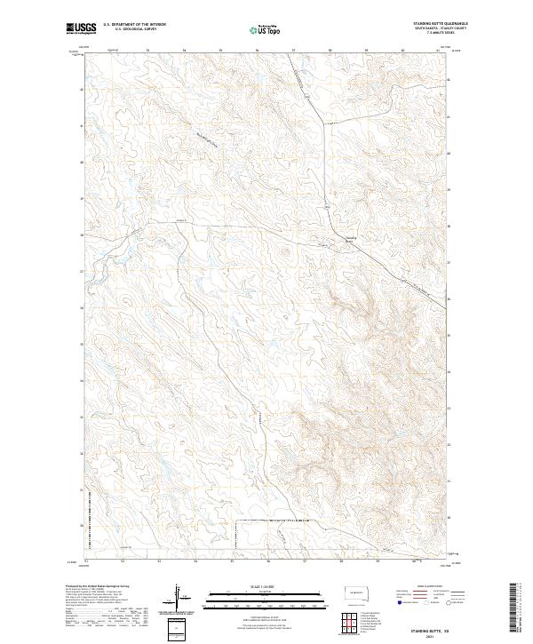 2021 Standing Butte2021 Print · USGSStanley County’s open prairie and high plateaus come into focus in this recent survey of the Standing Butte area. Researchers can trace the drainage patterns of Chantier Cr and E Fork Minneconjou Cr or locate rural access points along Mission Ridge Rd.
 - 2021 Map of Fort George Butte, 2021 Print
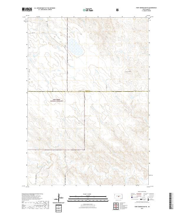 2021 Fort George Butte2021 Print · USGSThe high plains of Lyman and Stanley counties come into focus during the early 2020s, showcasing a landscape defined by grazing lands and creek beds. Researchers can trace the sprawling Fort Pierre National Grassland and landmarks like Ft George Butte.
 - 2021 Map of South of Pierre, 2021 Print
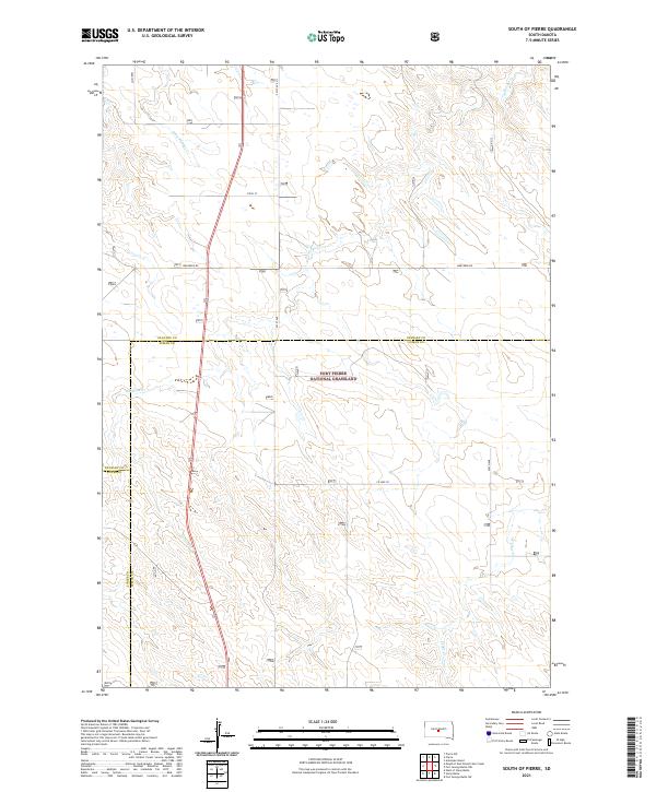 2021 South of Pierre2021 Print · USGSThe central South Dakota prairie is captured here during the early twenty-first century, showing the intersection of three counties within a protected federal landscape. Researchers can trace the drainage of Antelope Creek and Gray Blanket Creek across the Fort Pierre National Grassland.
 - 2021 Map of Joe Creek NW, 2021 Print
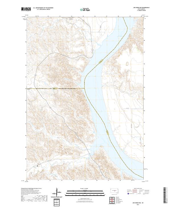 2021 Joe Creek NW2021 Print · USGSThe Missouri River bluffs of central South Dakota are captured in this recent survey where three counties meet. Researchers can locate remote landmarks such as Fort George Catholic Church Cem and Holy Faith Cem overlooking Lake Sharpe.
 - 2021 Map of Fratzke Ranch, 2021 Print
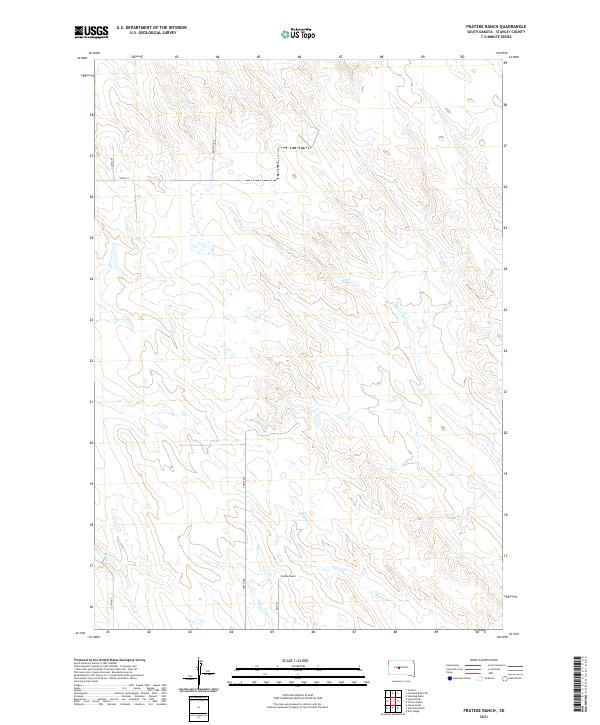 2021 Fratzke Ranch2021 Print · USGSStanley County ranching country is captured here during the early 2020s, showing a landscape defined by intermittent creeks and vast sections. Researchers can locate the Fratzke Ranch and trace the winding paths of Lance Creek and Brush Creek.
 - 2021 Map of Wendte NE, 2021 Print
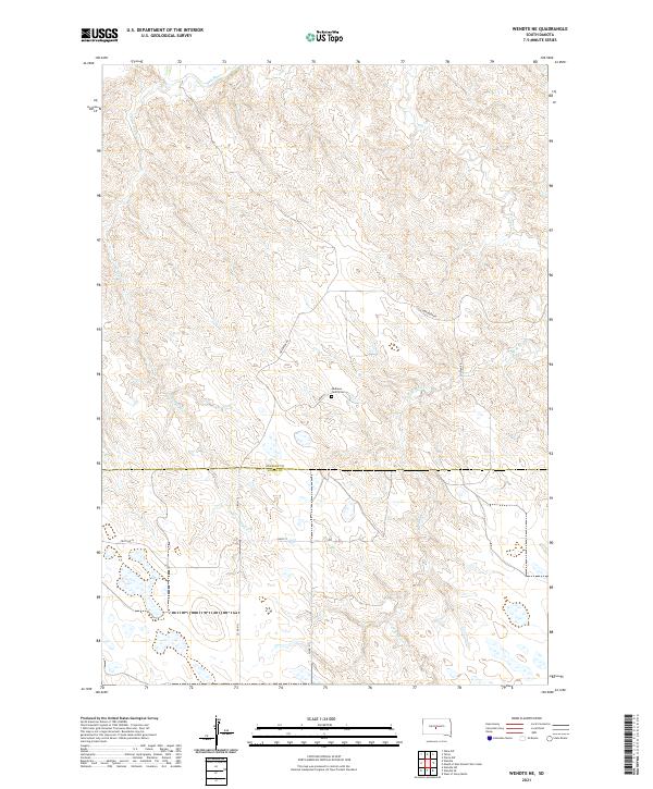 2021 Wendte NE2021 Print · USGSStanley and Jones Counties at the start of the 2020s remain a landscape of vast prairies and winding watercourses like the Bad River. Genealogists can locate the Mathews Family Cem or trace family travel along Warcreek Rd and Soldier Rd.
 - 2021 Map of Fort George Butte NW, 2021 Print
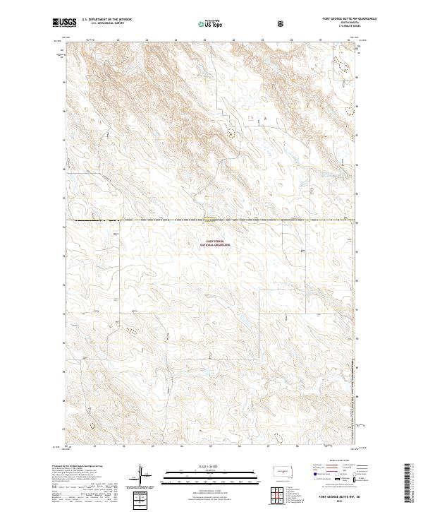 2021 Fort George Butte NW2021 Print · USGSThe open rangelands of Lyman and Stanley Counties are captured here in the early twenty-first century, showcasing the preserved expanse of the Fort Pierre National Grassland. Researchers can trace old section roads like Warcreek Rd and locate water sources such as the Williams 83 Reservoir.
 - 2021 Map of Doty Ridge, 2021 Print
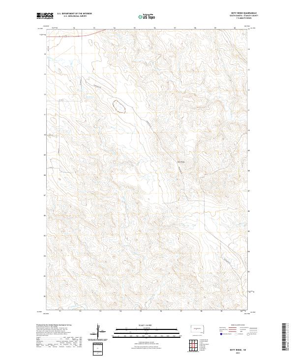 2021 Doty Ridge2021 Print · USGSStanley County ranching country is documented here in the early twenty-first century as the landscape remains defined by its historic creek drainages. Researchers can trace family-held lands such as Princes Ranch or locate the small settlements of Lacy and Van Metre.
 - 2021 Map of Standing Butte SW, 2021 Print
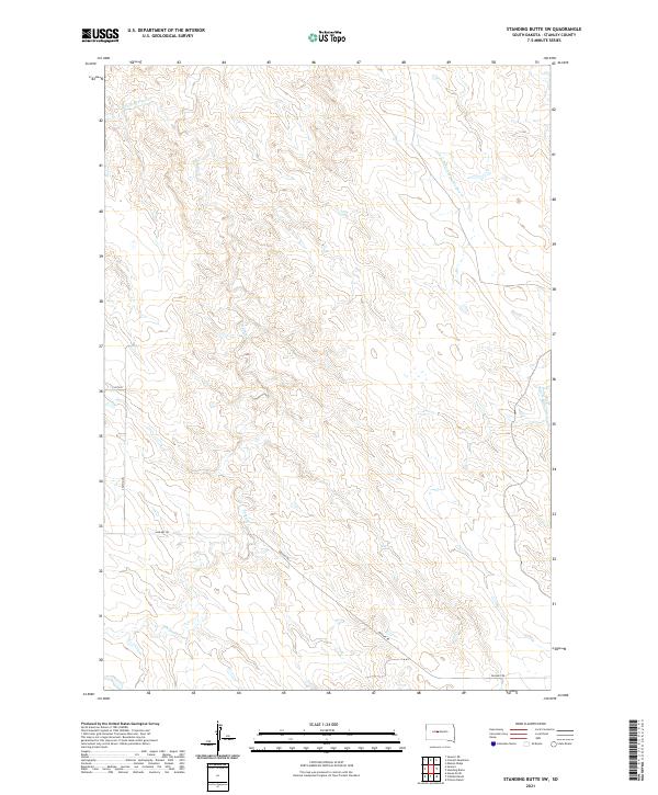 2021 Standing Butte SW2021 Print · USGSStanley County in the early 2020s remains a landscape of wide-open drainage basins and remote ranch roads. Genealogists and land researchers can trace the reaches of Sansarc Cr and find the exact intersections of Sansarc Rd and 256th Ave.
 - 2021 Map of Princes Ranch, 2021 Print
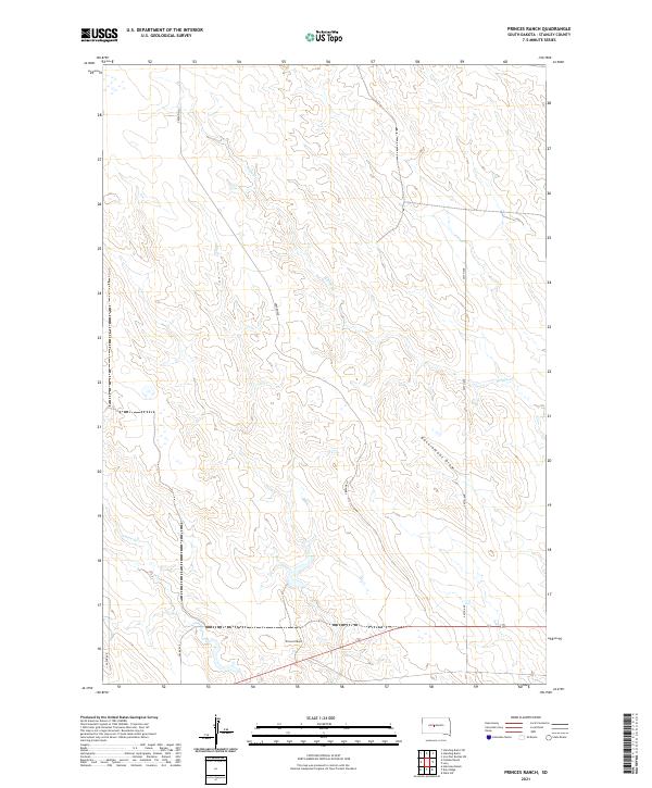 2021 Princes Ranch2021 Print · USGSStanley County ranching country is mapped here in the early twenty-first century, showing the remote landscape of the Missouri River plateau. Genealogists and researchers can locate the Princes Ranch and trace local drainage features like Government Draw and Willow Cr.
 - 2021 Map of Teton, 2021 Print
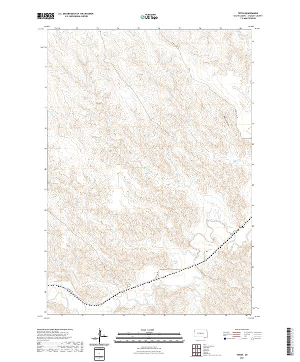 2021 Teton2021 Print · USGSIn the central plains of South Dakota, this survey documents the river-carved landscape of Stanley County during the early 2020s. Researchers can trace the winding course of the Bad River and locate the small settlement of Teton near the mouth of Ash Cr.
 - 2021 Map of Hohrman Ranch, 2021 Print
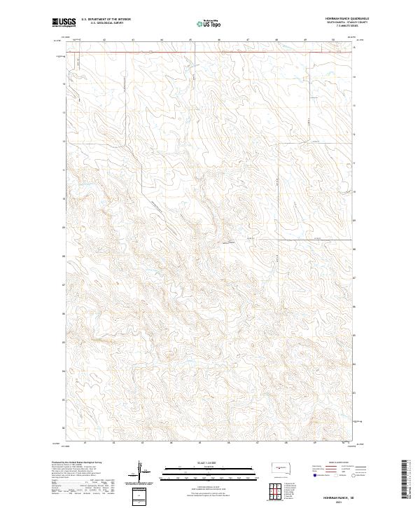 2021 Hohrman Ranch2021 Print · USGSStanley County ranching country is mapped here in the early 2020s, showing the vast grazing lands and rural road networks of central South Dakota. Researchers can locate family landholdings and drainages like Hohrman Ranch, Frozen Man Cr, and Plum Cr.
 - 2021 Map of De Grey, 2021 Print
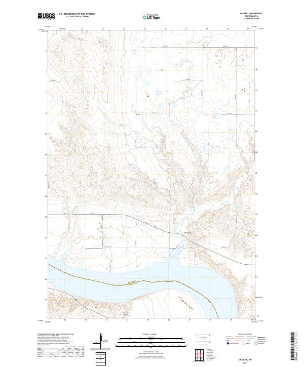 2021 De Grey2021 Print · USGSHughes County ranchlands meet the wide waters of the Missouri River in this survey of the central South Dakota plains. Genealogists and local researchers can locate De Grey and the Fort George Catholic Church Cem along the banks of Lake Sharpe.
 - 2021 Map of Mouth of East Branch War Creek, 2021 Print
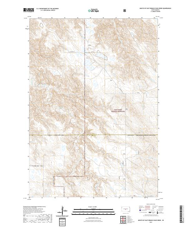 2021 Mouth of East Branch War Creek2021 Print · USGSStanley and Jones counties meet in this prairie landscape during the early twenty-first century, revealing the open terrain of the high plains. Researchers can trace the courses of Yellow Shoulder Cr and Porcupine Cr through the Fort Pierre National Grassland.
 - 2021 Map of May Ranch, 2021 Print
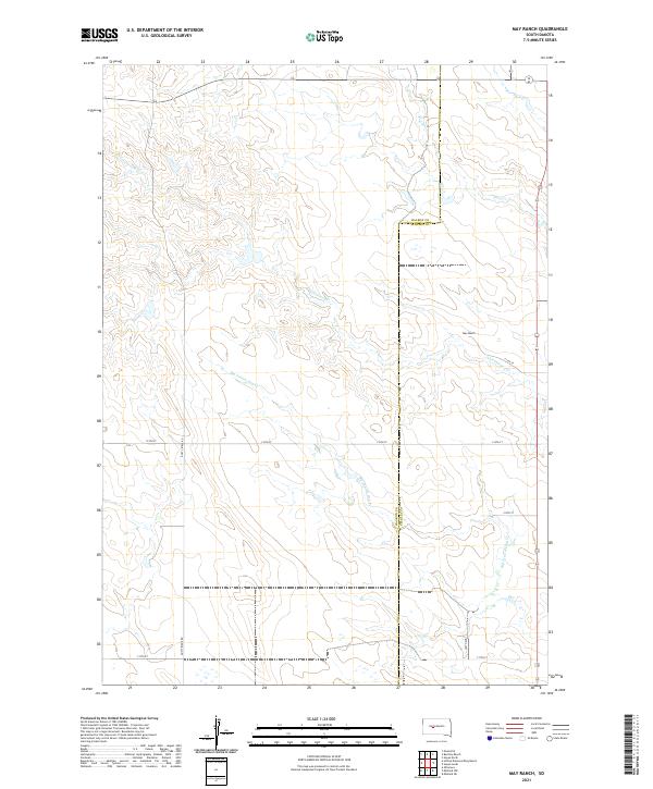 2021 May Ranch2021 Print · USGSHaakon and Stanley counties converge in this rural ranchland survey from the early 2020s. Genealogists and land researchers can trace the vast property boundaries surrounding May Ranch and follow the seasonal flow of Big Prairie Dog Cr and Plum Cr.
 - 2021 Map of Bentley Ranch, 2021 Print
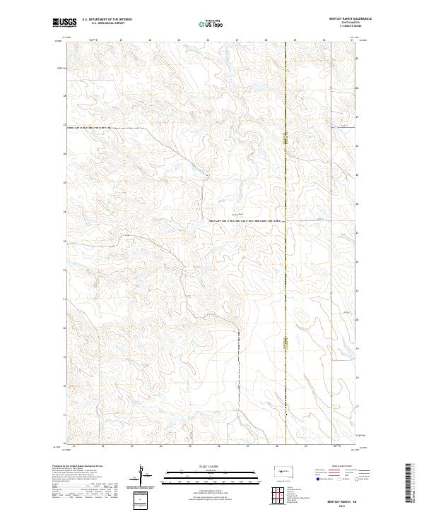 2021 Bentley Ranch2021 Print · USGSThe ranching country of Haakon and Stanley Counties is documented here in the early twenty-first century. Researchers can trace the drainage of Hermaphrodite Cr and locate family landmarks like the Bentley Ranch along the plains.
 - 2021 Map of Midland NE, 2021 Print
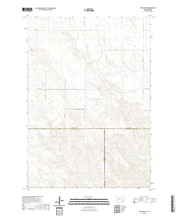 2021 Midland NE2021 Print · USGSStanley County ranch land meets Haakon and Jones counties in the early twenty-first century. Genealogists and researchers can trace the intersection of section-line roads and seasonal waterways like Big Prairie Dog Cr and Bad River Rd.
 - 2021 Map of Whiteman Ranch, 2021 Print
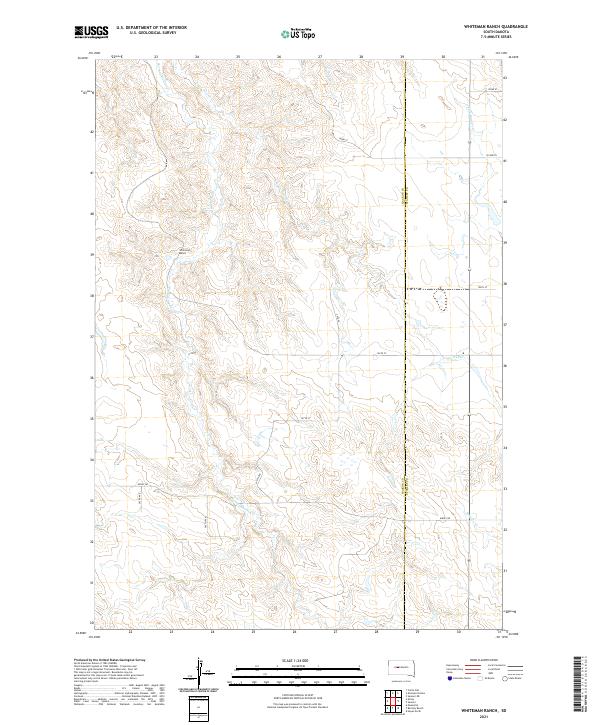 2021 Whiteman Ranch2021 Print · USGSHaakon and Stanley counties are captured here in the early twenty-first century, documenting a landscape of expansive ranchlands and seasonal drainages. Genealogists and land historians can trace property locations near Whiteman Ranch or follow the paths of Hermaphrodite Cr and Lone Tree Cr.
 - 2021 Map of Sansarc NE, 2021 Print
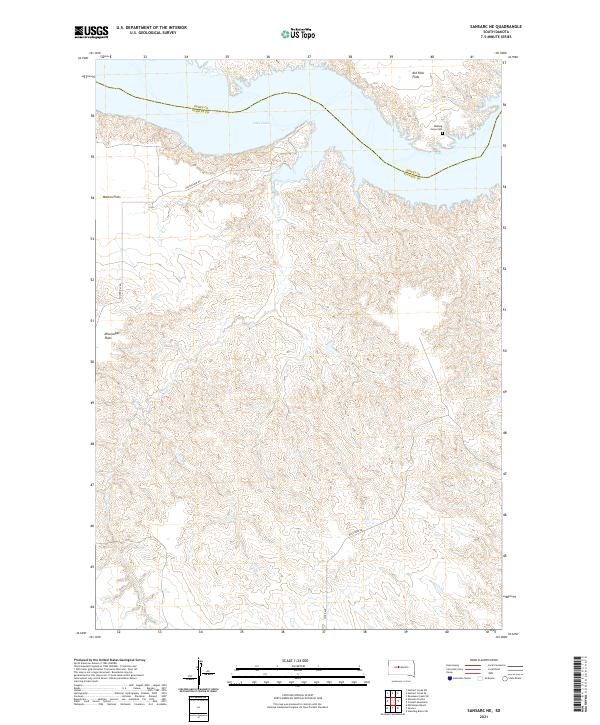 2021 Sansarc NE2021 Print · USGSStanley and Dewey County ranchlands meet the expansive waters of the Missouri River in the early twenty-first century. Researchers can locate the Walking Horse Cem and trace the drainage of Foster Cr through landmarks like Kid Rich Flats.
 - 2021 Map of Sansarc, 2021 Print
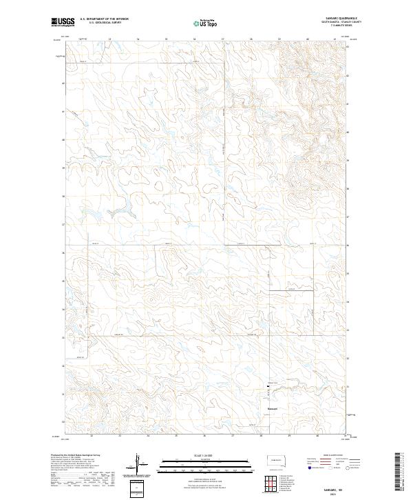 2021 Sansarc2021 Print · USGSStanley County ranching country is documented here during the early twenty-first century. Researchers can locate the rural community of Sansarc, the Sansarc Cem, and the drainage of N Fork Sansarc Cr.
 - 2021 Map of Midland NW, 2021 Print
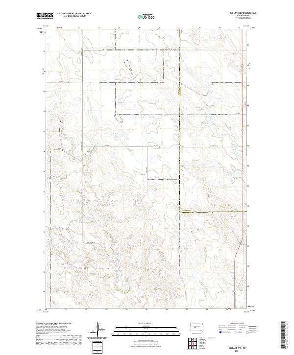 2021 Midland NW2021 Print · USGSHaakon and Stanley counties meet in this modern survey of the South Dakota high plains. Genealogists and local historians can trace ranching boundaries and rural road networks like Dusty Ridge Rd along the drainages of Burnt Cr and Mitchell Cr.
Showing maps 1-25 of 45
Top cities of Stanley County
Frequently asked questions
- What are the different types of historical maps available for Stanley County?
- What is the oldest map of Stanley County?
- Where can I purchase historical maps of Stanley County for my home or office?
- Where can I download high-res historical maps of Stanley County?
- Are there historical topographic maps available for Stanley County?
- Is there historical aerial imagery available for Stanley County?
- Where are historical maps of Stanley County sourced from?