2010s Maps of Stanley County, South Dakota
Explore 135 historic maps of Stanley County from the 2010s. These maps offer a rare glimpse into what life looked like during the 2010s — showing old roads, neighborhoods, homes, and landmarks that have changed or disappeared over time.
Whether you're researching your family's past, planning a metal detecting trip, or studying how Stanley County's landscape evolved across the 2010s, these high-resolution maps are a powerful tool for exploring the history of this region.
- Focus on a specific era: All maps on this page are from the 2010s, giving you a focused view of this time period.
- See what’s changed: Compare century-old streets, trails, and buildings to today's modern landscape using overlays and satellite layers.
- Research with precision: Use these maps for genealogy, historical research, land use analysis, or educational projects.
- View, download, or print: Maps are fully viewable online in high resolution, and can be downloaded or printed for your own records.
Start exploring Stanley County's history through authentic maps from the 2010s. This is your window into the past.
Stanley County, SD maps
(135)- 2012 Map of Sansarc, 2012 Print
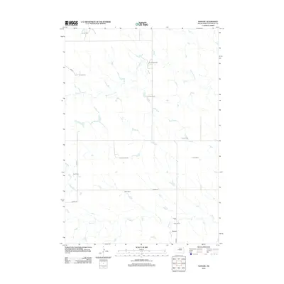 2012 Sansarc2012 Print · USGSStanley County ranching country is documented here in the early twenty-first century, showing the enduring pattern of large-scale South Dakota homesteads. Genealogists and local historians can locate specific family holdings like Walker Ranch, Olson Ranch, and the Sansarc Cem.
 - 2012 Map of Hayes South, 2012 Print
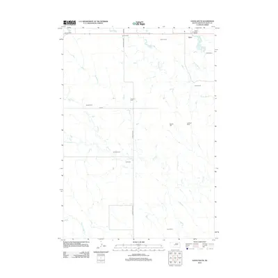 2012 Hayes South2012 Print · USGSStanley County ranching country is documented in detail during the early twenty-first century. Genealogists and historians can locate family holdings like Purcell Ranch and Hannum Ranch alongside landmarks like Lookout Point.
 - 2012 Map of Midland NE, 2012 Print
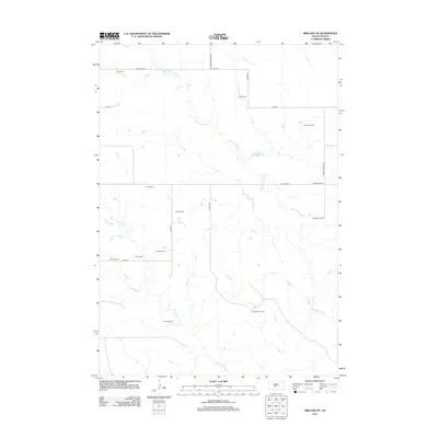 2012 Midland NE2012 Print · USGSJones County ranchlands are documented here in the early twenty-first century, showing the vast spatial layout of the South Dakota plains. Genealogists and historians can trace family-named lands like Gertonson Ranch, Alcock Ranch, and Flom Ranch.
 - 2012 Map of Midland NW, 2012 Print
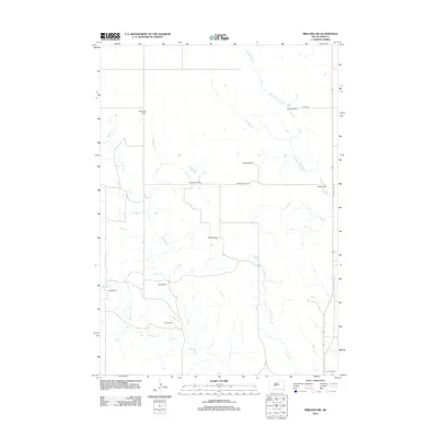 2012 Midland NW2012 Print · USGSHaakon County's cattle-ranching heartland is documented here in the early twenty-first century, showing a landscape defined by expansive family holdings. Genealogists and local historians can trace the footprints of established properties like Armstrong Ranch, Nemec Ranch, and Blucher Ranch.
 - 2012 Map of Sansarc NE, 2012 Print
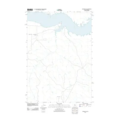 2012 Sansarc NE2012 Print · USGSThe Missouri River shoreline at Lake Oahe meets the ranching country of South Dakota in this 2012 study. Genealogists and historians can locate family-named landmarks like Walking Horse Cem, Lindsay Cem, and Schiesser Ranch.
 - 2012 Map of May Ranch, 2012 Print
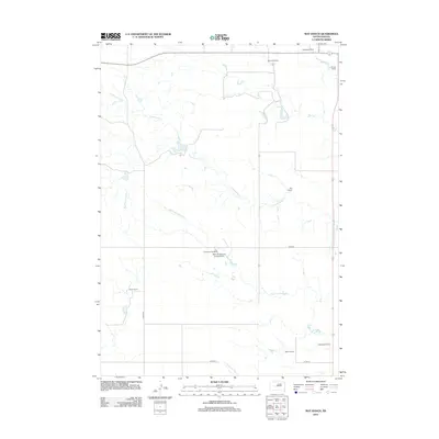 2012 May Ranch2012 Print · USGSHaakon County's ranching country is documented here in the early twenty-first century, showing the remote homesteads of South Dakota's western plains. Genealogists and local historians can trace family-named sites like May Ranch, Brothers Ranch, and the Gene Armstrong Landing Strip.
 - 2012 Map of Bentley Ranch, 2012 Print
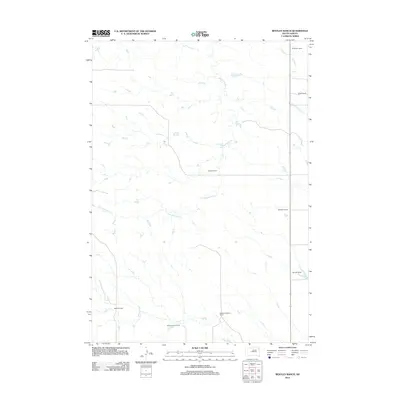 2012 Bentley Ranch2012 Print · USGSHaakon County's ranching heritage is preserved in this early twenty-first century survey of the South Dakota plains. Researchers can trace family land holdings such as the Bentley Ranch, Olesen Ranch, and Norman Ranch along the banks of Hermaphrodite Cr.
 - 2012 Map of Whiteman Ranch, 2012 Print
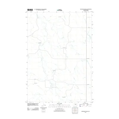 2012 Whiteman Ranch2012 Print · USGSHaakon County ranching country is documented here in the early twenty-first century, showing a remote landscape of family-run outposts and prairie creeks. Genealogists and local historians can locate specific homesteads like Paulson Ranch, Bruce Ranch, and Markwed Ranch.
 - 2012 Map of Iron Post Buttes SW, 2012 Print
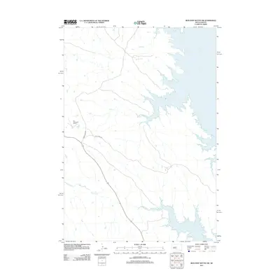 2012 Iron Post Buttes SW2012 Print · USGSStanley County at the start of the 2010s shows a landscape transformed by the Missouri River's waters and modern infrastructure. You can trace the rugged shoreline of Lake Oahe and locate rural landmarks like the W L Thompson Airport and Chantier Cr.
 - 2012 Map of Fort George Butte, 2012 Print
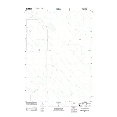 2012 Fort George Butte2012 Print · USGSLyman County's open prairie is documented here as it appeared in the early twenty-first century, centered on a notable local landmark. Geographers and historians can trace the drainage of Fort George Butte through its surrounding creeks, including Plum Cr and LaRoche Cr.
 - 2012 Map of Lacy, 2012 Print
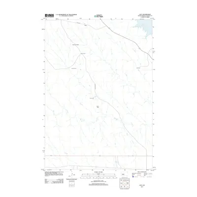 2012 Lacy2012 Print · USGSThe high prairie of Stanley County remains a landscape of wide-reaching cattle operations and Missouri River drainages during the early twenty-first century. Genealogists and local historians can trace family-named holdings like Anderson Ranch and Lewis Ranch near the waters of Lake Oahe.
 - 2012 Map of Iron Post Buttes SE, 2012 Print
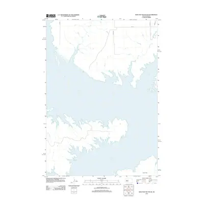 2012 Iron Post Buttes SE2012 Print · USGSThe Missouri River reservoir landscape of Hughes County is captured here in the early twenty-first century. Researchers can trace the complex shoreline of Lake Oahe and find the expansive Peoria Flats near local drainages like Plum Cr and Sully Cr.
 - 2012 Map of Fratzke Ranch, 2012 Print
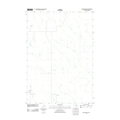 2012 Fratzke Ranch2012 Print · USGSStanley County ranching country is captured here during the early 2000s, showing the vast grazing lands of central South Dakota. Researchers can locate specific family holdings such as the Fratzke Ranch, Miller Ranch, and the unique water features of Lance Cr Holes.
 - 2012 Map of Van Metre, 2012 Print
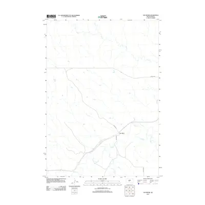 2012 Van Metre2012 Print · USGSJones County ranching country and the isolated settlement of Van Metre are captured here during the early twenty-first century. Researchers can trace the drainage patterns of the Bad River and locate remote corridors such as Bad River Rd and Copperline Rd.
 - 2012 Map of Rousseau, 2012 Print
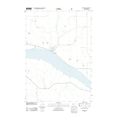 2012 Rousseau2012 Print · USGSThe Missouri River valley south of Pierre is shown here in the early twenty-first century as it borders the expansive Lake Sharpe. Researchers can trace the prairie drainage patterns through family-named landmarks like Kirley Draw, Carlson Draw, and the curiously named The Drips.
 - 2012 Map of Mail Shack Creek, 2012 Print
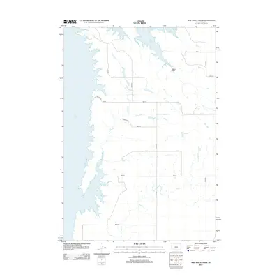 2012 Mail Shack Creek2012 Print · USGSStanley County's prairie landscape meets the expansive waters of the Missouri River valley in the early twenty-first century. Researchers can trace the intersection of section-line roads like Onida Rd with natural features such as Mail Shack Cr and the shoreline of Lake Oahe.
 - 2012 Map of Teton, 2012 Print
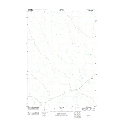 2012 Teton2012 Print · USGSThe rural Stanley County landscape near the settlement of Teton is captured here during the early twenty-first century. Researchers can trace the winding course of the Bad River and locate seasonal landmarks like Ballard Canyon and Stranger Cr.
 - 2012 Map of Antelope Island, 2012 Print
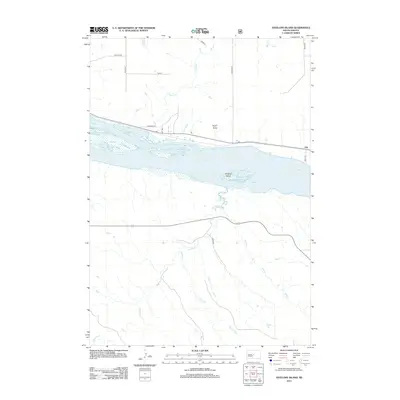 2012 Antelope Island2012 Print · USGSThe Missouri River breaks into the expansive Lake Sharpe reservoir during the early twenty-first century, revealing a landscape shaped by water and prairie. Trace the settlement of Alto and follow the branching paths of Antelope Cr and Mush Cr.
 - 2012 Map of Iron Post Buttes, 2012 Print
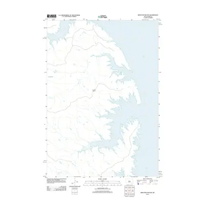 2012 Iron Post Buttes2012 Print · USGSStanley County in the early twenty-first century reveals a landscape shaped by the waters of the Missouri River. Genealogists and researchers can trace local landmarks like Donelan Ranch or follow the shoreline of Lake Oahe past Iron Post Buttes and Mission Cr.
 - 2012 Map of Oahe Dam, 2012 Print
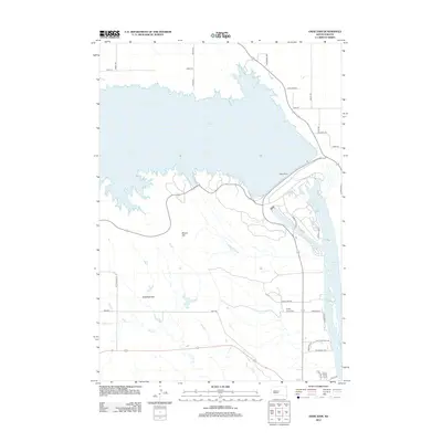 2012 Oahe Dam2012 Print · USGSThe Missouri River landscape of Stanley County is captured here in the early twenty-first century, dominated by the massive Oahe Dam and its reservoirs. Researchers can locate the Scotty Philip Cem or trace rural routes across Giddings Flat and the slopes of Brown Hill.
 - 2012 Map of Capa NW, 2012 Print
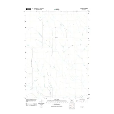 2012 Capa NW2012 Print · USGSJones County at the start of the 2010s reveals a vast landscape of prairie drainages and isolated rural routes. Researchers can trace the path of the Bad River and locate remote landmarks along Copperline Rd or Big Prairie Dog Cr.
 - 2012 Map of Rousseau Creek, 2012 Print
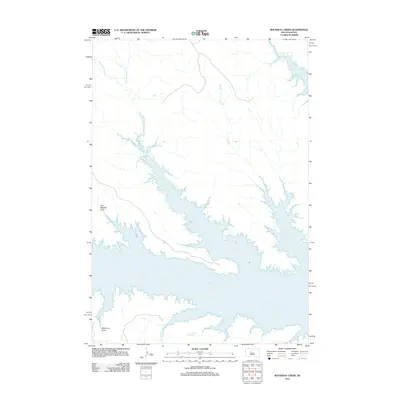 2012 Rousseau Creek2012 Print · USGSThe Missouri River breaks of Dewey County appear here in the early twenty-first century as the massive expanse of Lake Oahe. Researchers can trace the submerged drainage networks of Rousseau Cr and explore named topographic features like Fine Weather Draw.
 - 2012 Map of Joe Creek NW, 2012 Print
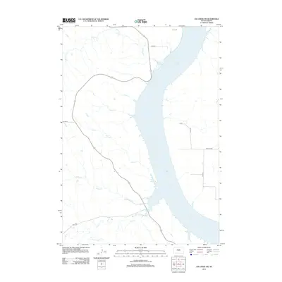 2012 Joe Creek NW2012 Print · USGSThe Missouri River valley in the early twenty-first century is defined by the massive waters of Lake Sharpe and its rugged western inlets. Genealogists and local historians can locate the Holy Faith Cem and trace the paths of LaRoche Cr and Straight Cr.
 - 2012 Map of Hohrman Ranch, 2012 Print
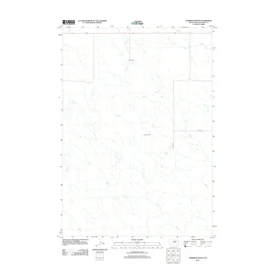 2012 Hohrman Ranch2012 Print · USGSStanley County ranching country is shown here in the early twenty-first century, featuring the vast landholdings and drainages of the high plains. Researchers can trace rural property sites like Hohrman Ranch and follow the long courses of Frozen Man Creek and Plum Creek.
 - 2012 Map of Wendte, 2012 Print
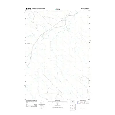 2012 Wendte2012 Print · USGSStanley County land along the Bad River is documented here during the early twenty-first century. Genealogists and local researchers can trace the rural landscape around Wendte and follow watercourses like Herd Camp Creek and Tomahawk Creek.
Showing maps 1-25 of 135
Top cities of Stanley County
Frequently asked questions
- What are the different types of historical maps available for Stanley County?
- What is the oldest map of Stanley County?
- Where can I purchase historical maps of Stanley County for my home or office?
- Where can I download high-res historical maps of Stanley County?
- Are there historical topographic maps available for Stanley County?
- Is there historical aerial imagery available for Stanley County?
- Where are historical maps of Stanley County sourced from?