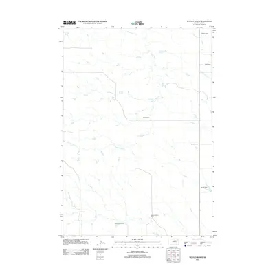
2012 Map of Bentley Ranch
USGS Topo · Published 2012About this map
Bentley Ranch sits at the center of this pastoral South Dakota landscape, where the naming of individual holdings reflects a deep-rooted ranching economy in Haakon County. The drainage network is the primary geographic driver here, with Hermaphrodite Cr meandering through the central terrain while Plum Cr and Wagonhound Cr define the southern and eastern reaches. This map is particularly valuable for genealogists and local historians, as it explicitly identifies numerous family operations including the Fosheim Brothers Ranch, R Stoeser Ranch, and Schanzenbach Ranch. The spatial distribution of these named sites suggests a pattern of large-acreage land use where small homesteads evolved into significant family-run enterprises, connected by a sparse network of section roads and specialized 4WD tracks.
Find a feature on this map
11 named features on this map. Tap any name to fly to it.
Don’t see what you’re looking for? This feature index may not catch every label — zoom into the map to look around manually.
Map Details
Editions of this 2012 Bentley Ranch Map
This is the sole edition of this map. No revisions or reprints were ever made.
Other maps of this area

1954 · Pierre
USGS Topo · 1:250,000

1956 · Kirley
USGS Topo · 1:24,000

1958 · Pierre
USGS Topo · 1:250,000

1982 · Sansarc
USGS Topo · 1:24,000

1982 · Hayes South
USGS Topo · 1:24,000

1982 · Whiteman Ranch
USGS Topo · 1:24,000

1982 · May Ranch
USGS Topo · 1:24,000

1983 · Bentley Ranch
USGS Topo · 1:24,000

1983 · Hayes North
USGS Topo · 1:24,000

1983 · Philip
USGS Topo · 1:100,000