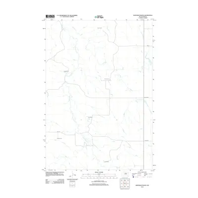
2012 Map of Whiteman Ranch
USGS Topo · Published 2012About this map
Whiteman Ranch and several other family-named outposts define this stretch of Haakon County, documenting a landscape where agricultural landholdings remain the primary markers of human presence. The topography is shaped by an intricate drainage system including the winding Hermaphrodite Cr and Lone Tree Cr, which cut through the plains. The spatial arrangement of these ranch sites, such as Alleman Ranch in the north and Jacobsen Ranch to the south, reflects the low-density settlement patterns typical of central South Dakota's ranching economy.
Find a feature on this map
15 named features on this map. Tap any name to fly to it.
Don’t see what you’re looking for? This feature index may not catch every label — zoom into the map to look around manually.
Map Details
Editions of this 2012 Whiteman Ranch Map
This is the sole edition of this map. No revisions or reprints were ever made.
Other maps of this area

1954 · Pierre
USGS Topo · 1:250,000

1956 · Kirley
USGS Topo · 1:24,000

1956 · Carlin Flat
USGS Topo · 1:24,000

1956 · Alleman Station
USGS Topo · 1:24,000

1956 · Sansarc NE
USGS Topo · 1:24,000

1958 · Pierre
USGS Topo · 1:250,000

1982 · Sansarc
USGS Topo · 1:24,000

1982 · Whiteman Ranch
USGS Topo · 1:24,000

1983 · Bentley Ranch
USGS Topo · 1:24,000

1983 · Hayes North
USGS Topo · 1:24,000